

Understand the Land
Grab a tool that’s more than a map and see the land in a new way. With integrated land boundaries and land access maps, industry-leading topography, and continuously updated aerial imagery to see conditions on the ground.

A New Way to See Terrain
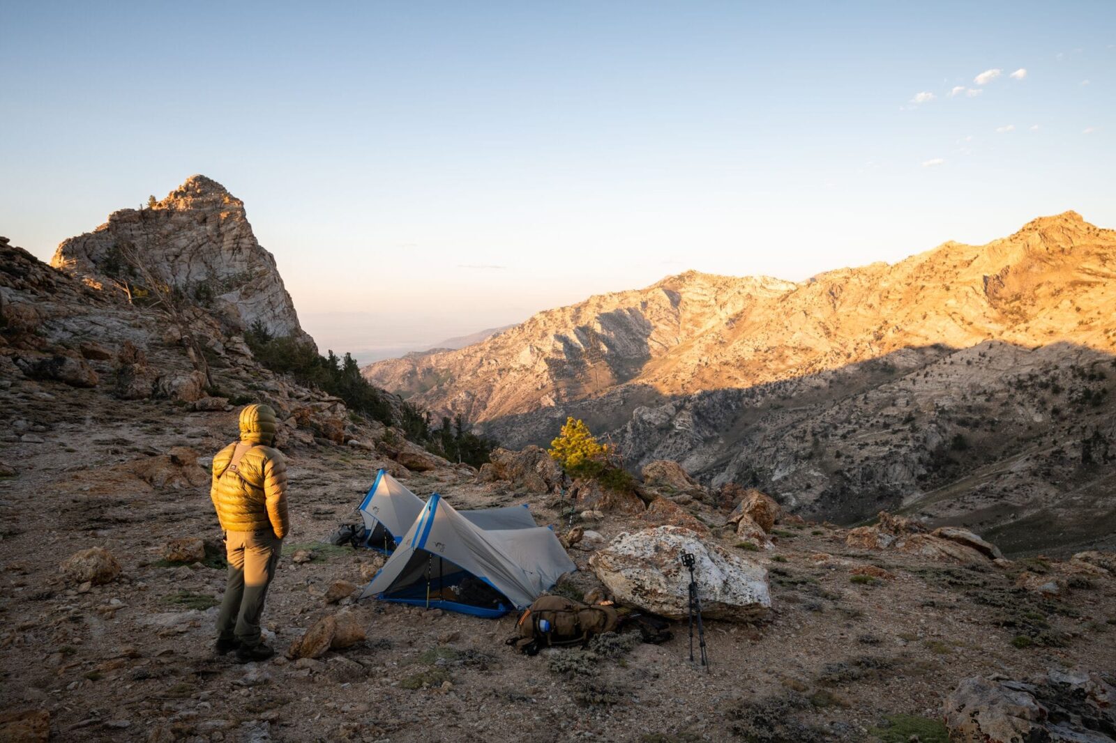
Get the perfect vantage point for any adventure
Up your odds of success in any pursuit with a deeper understanding of the land you’re moving through. Know where you can (and can’t) go with public and private land boundaries and access points. See the terrain in new ways with 3D views, Lidar hill shading to spot subtle elevation changes, and Recent Aerial Imagery updated every two weeks.
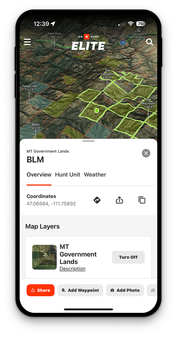

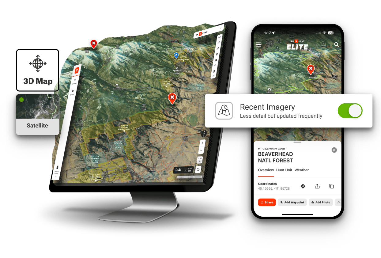
Public Land Maps
Know where you stand every step of the way with clear public and private land boundaries. Whether you’re searching for a public land adventure, organizing a hunt on a private parcel, or heading out for some open-ended exploration, stay on the right side of the law and make the best plans.

Terrain that Tells the Truth
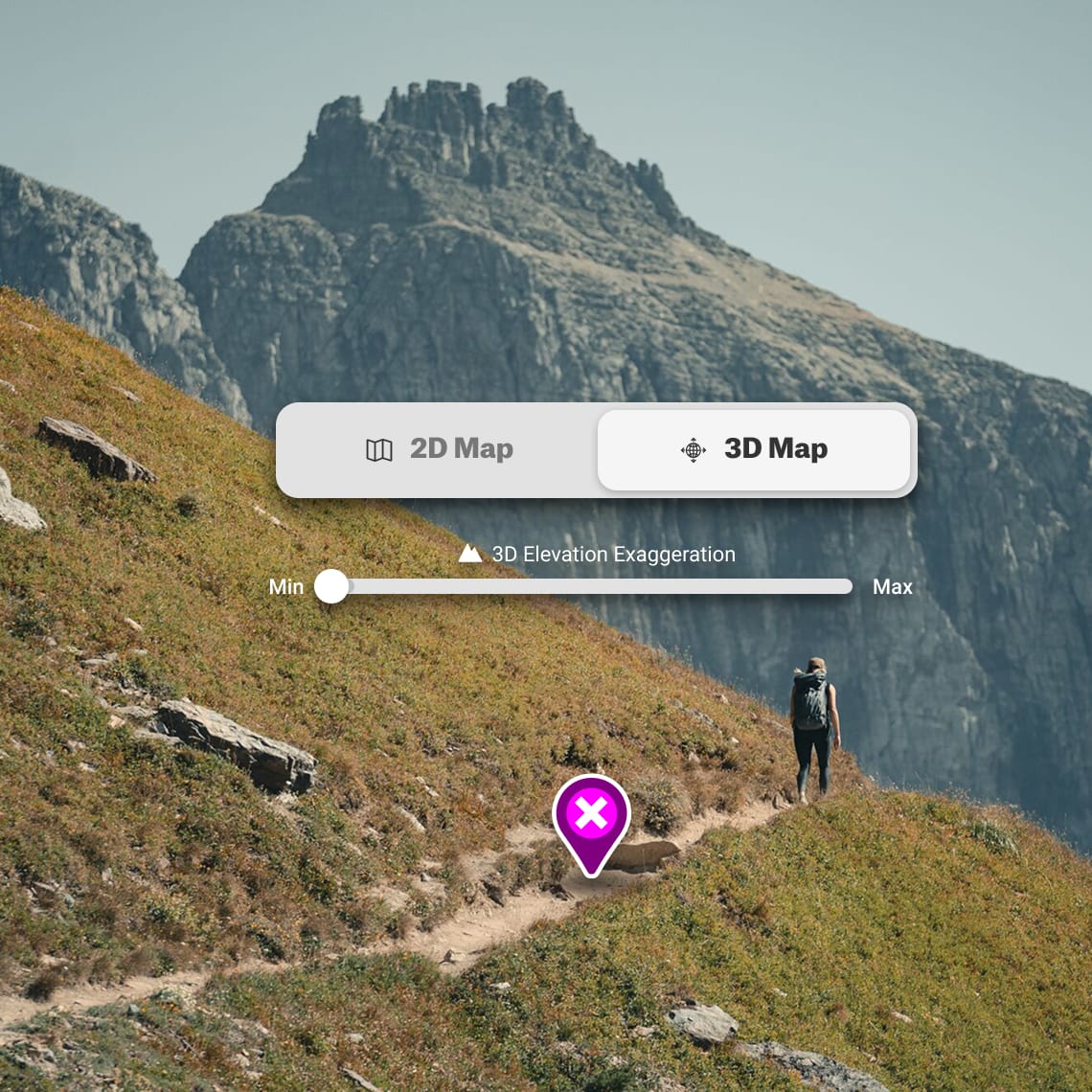
There’s nothing like being there, but 3D maps and Lidar topography gets darn close. Scout your route in three dimensions and scan the land for subtle areas or opportunities or obstacles with astonishingly accurate Lidar shading in addition to standard topographic lines. Not in the high country? Try 3D Exaggeration coupled with Lidar to see even the smallest terrain variations in any region.
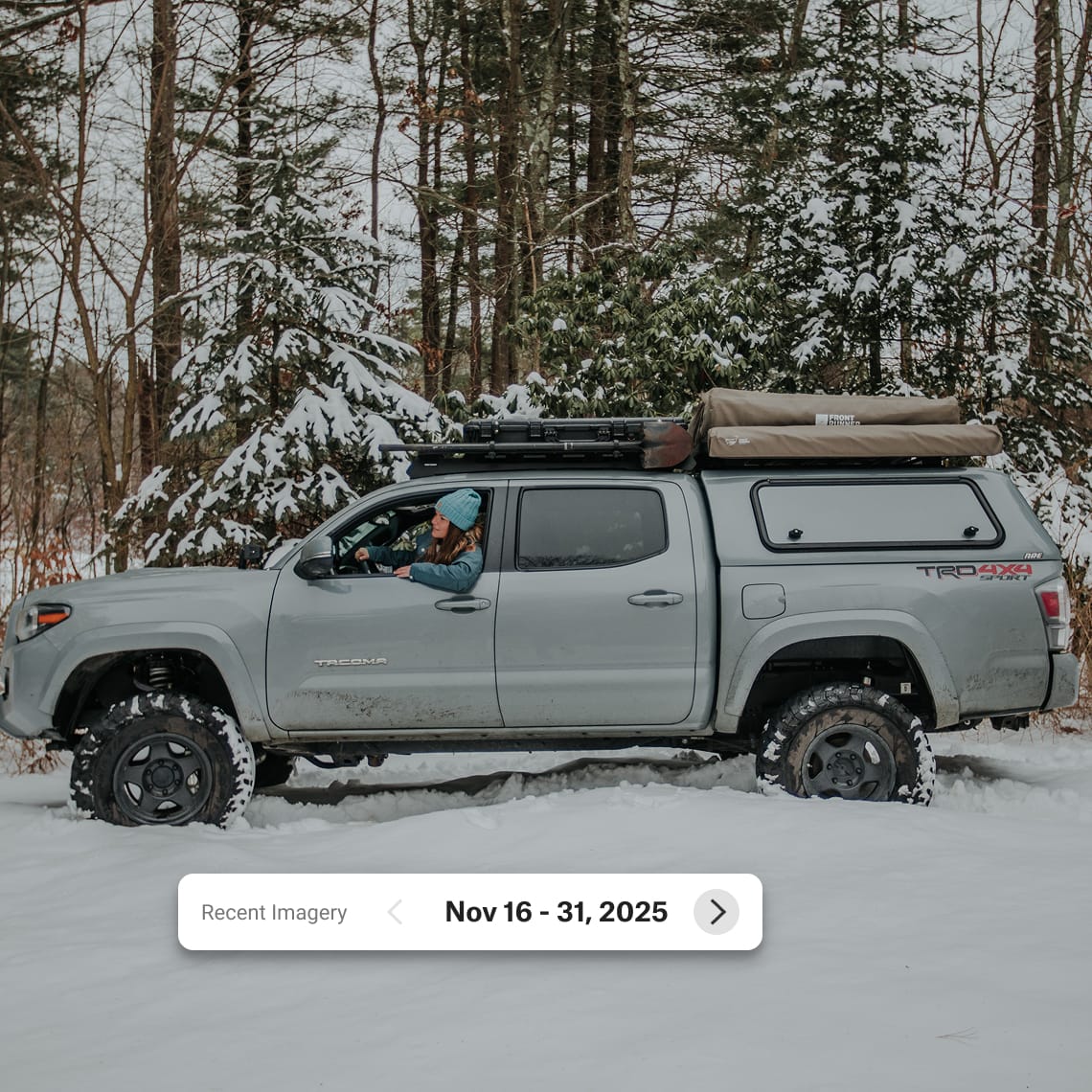
Recent Aerial Imagery
In addition to high-resolution aerial imagery emphasizing detail, you can now pair that perspective with what’s happening lately. Recent Imagery is updated every two weeks to show you how the snowline is moving, if foliage is falling, or if waters are rising before you head out.

Discover the App for You
However you like to get outside, onX has an app to get you out there. Enjoy years of experience distilled into easy-to-digest mapping tools and suggestions for a better day in the outdoors.


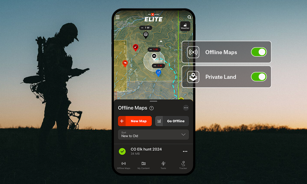
The #1 Hunting GPS App
Maps for hunting, made by hunters
Join the millions of hunters who trust onX Hunt to find more game, apply for tags, explore new areas and states, and hunt smarter.
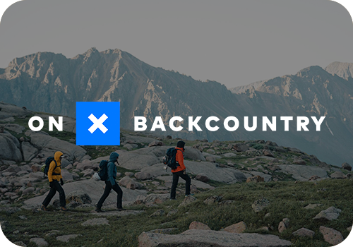

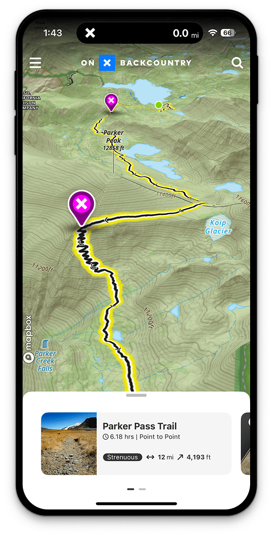
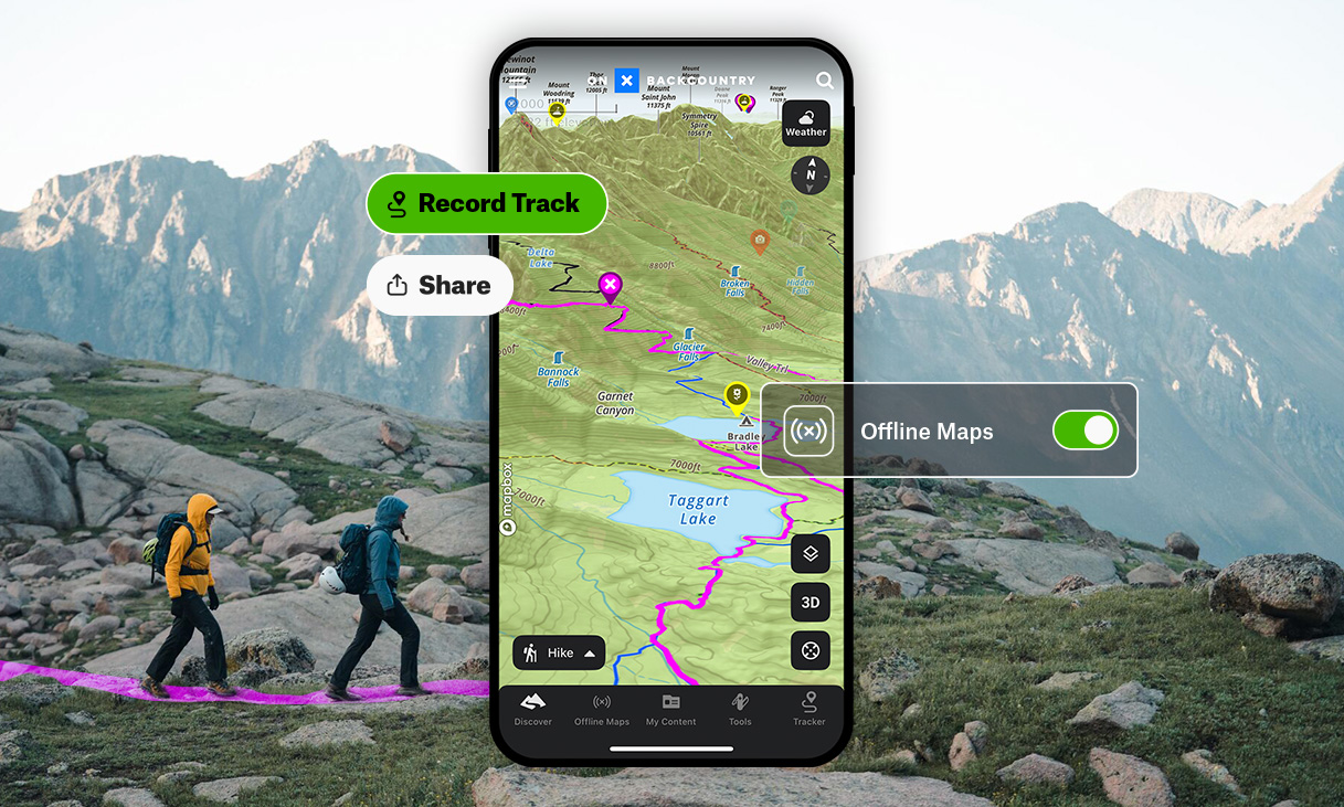
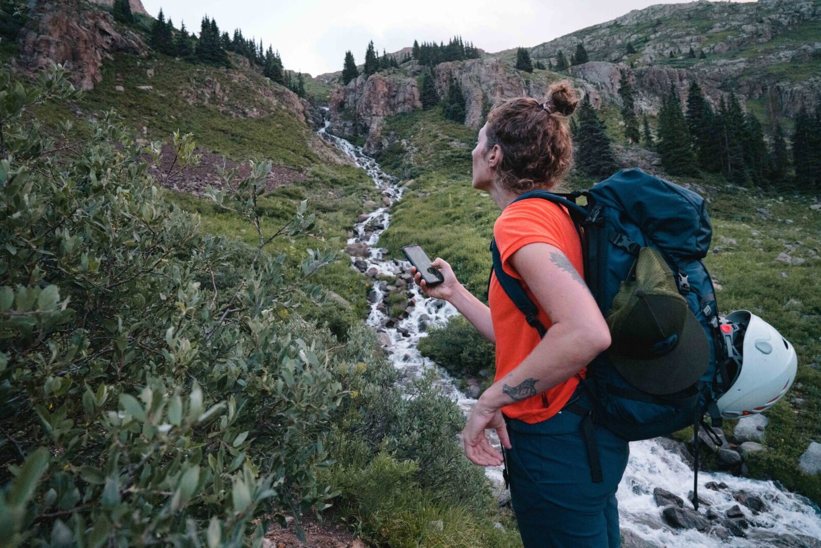
Plan and Discover Adventures Near You
onX Backcountry is the ultimate GPS navigation app,
purpose-built for all your outdoor pursuits. Try 3D maps specifically tailored for hiking, backcountry skiing, mountain biking, or rock climbing.


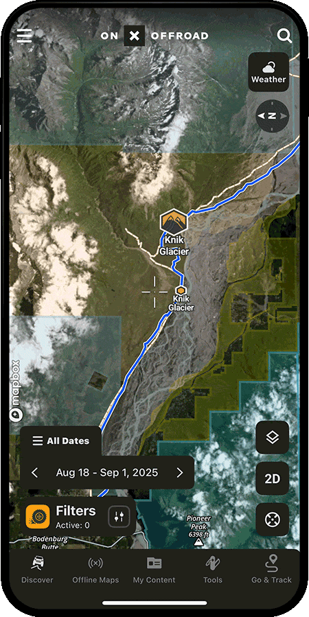
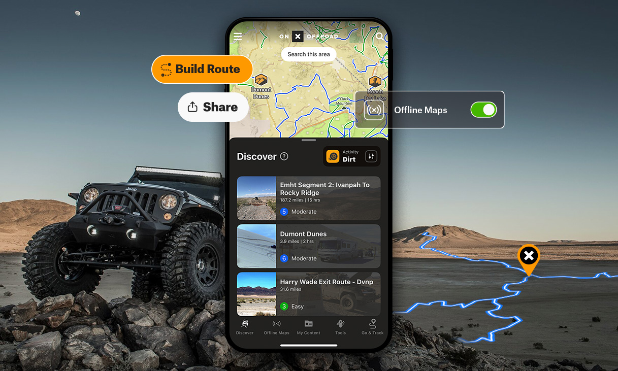
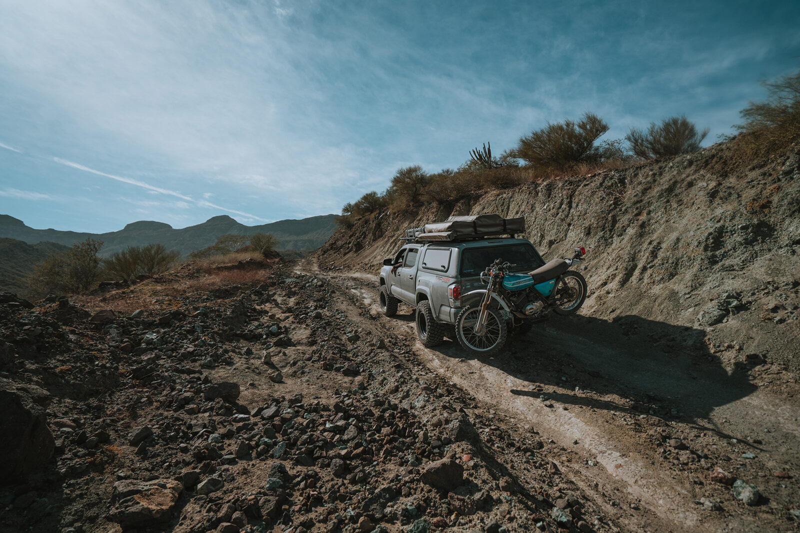
GPS Off-Road Map App
Built for Adventure
Use the most trusted GPS for off-roading and snowmobiling app,
onX Offroad, to discover nearby trails, plan and build routes in 3D, track your trips, and get home safely.
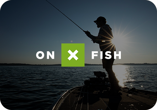

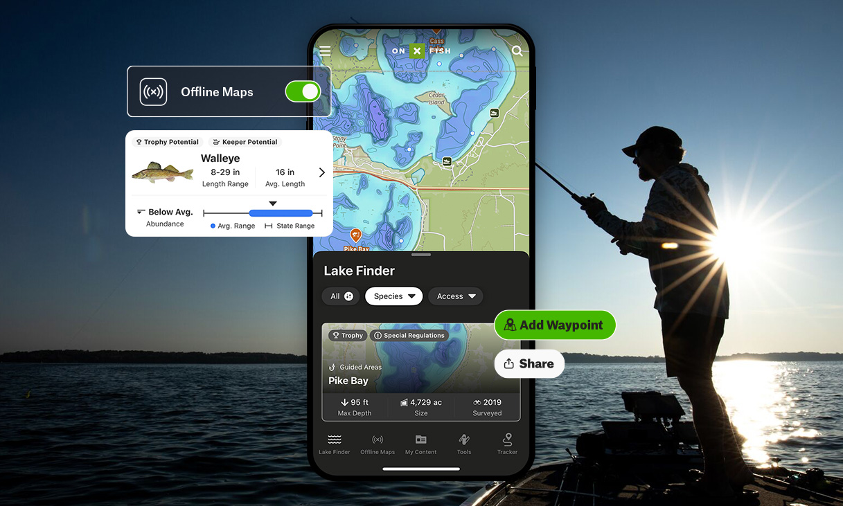
The Brand New onX Fish
Find and filter new lakes while allowing for easy identification of species, including their size and abundance. Plan from the couch or on the go to find your next favorite lake or take advantage of an opportunistic drive-by. Explore unknown spots like you’ve been fishing them for years.
Explore Other Ways onX Helps You

Adventure Safely
Put real-time weather, wildfire, and conditions data at your fingertips so you can adapt quickly, manage risk, and get home safe.
Learn More


Customize Your Map
Landscapes aren’t static, but paper maps are. onX helps you build your perfect map by melding your knowledge and experience with layers and tools to change the way you adventure.
Learn More

Build the Ultimate Plan
From trusted routes to terrain intel, onX helps you scout ahead, save key spots, and build a plan that’s ready for go time.
Learn More

Get off the Grid
Head far from cell service confident in exactly where you are, where you’re headed, and how to get back.
Learn More