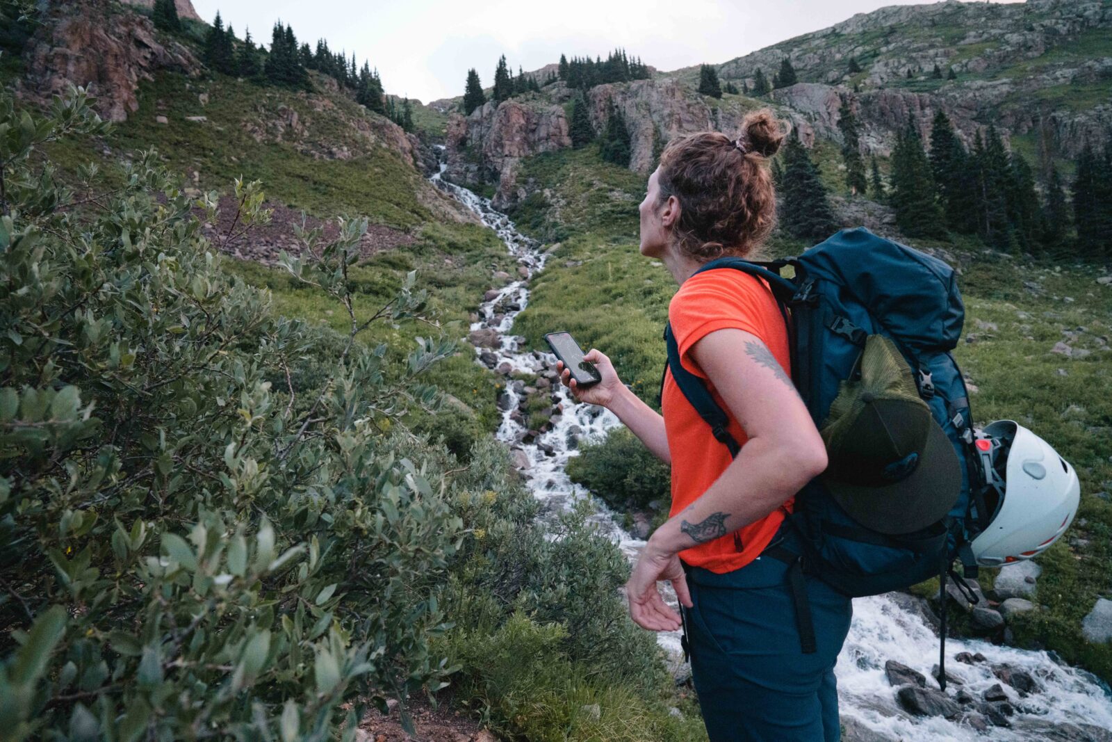

As Safe As You Can Be
You can’t remove risk, but you can assess it, manage it, and make the best plans possible to get out—and back—safely. With tools to give you a deeper understanding of what’s happening around you, you’ve got the info you need to make the best decisions possible in the backcountry.
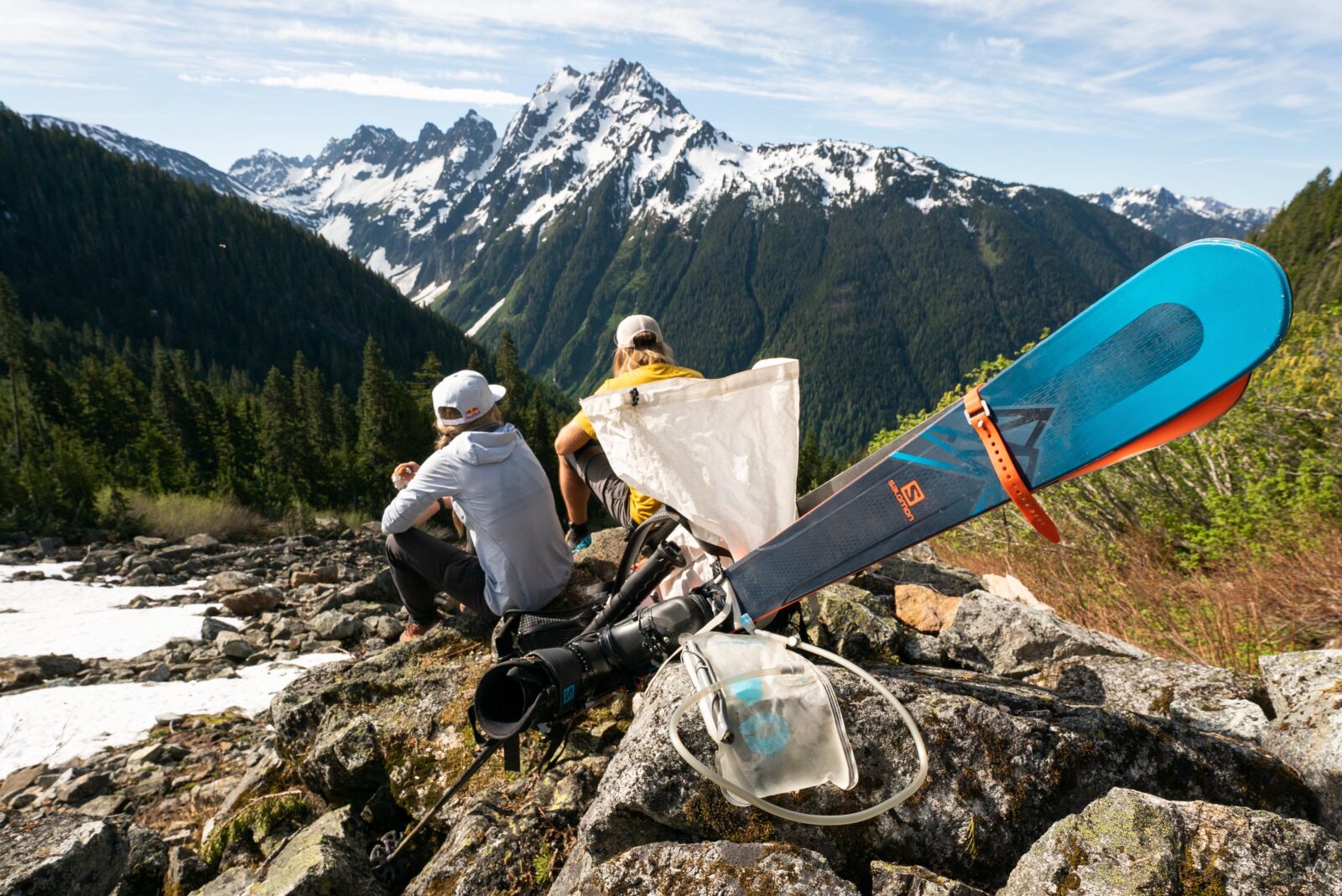
Outdoor Safety Starts with You
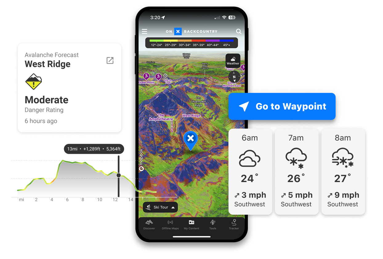
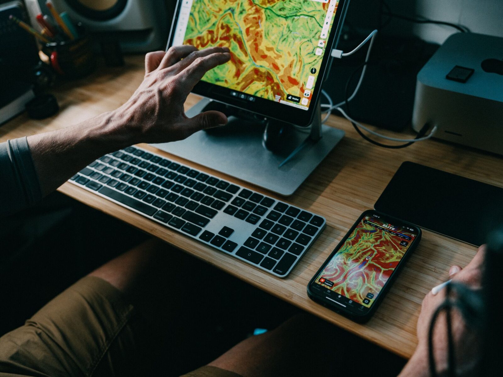
Take the tools to clearly see the situation
A map can tell you a lot, but when you layer on your own location and track alongside dynamic conditions showing trail conditions, weather forecasts, avalanche danger, and more, you’re bringing along a tool that puts you in control of your decision making. Assess risk and make new plans on the fly if your risk envelope changes in the field.
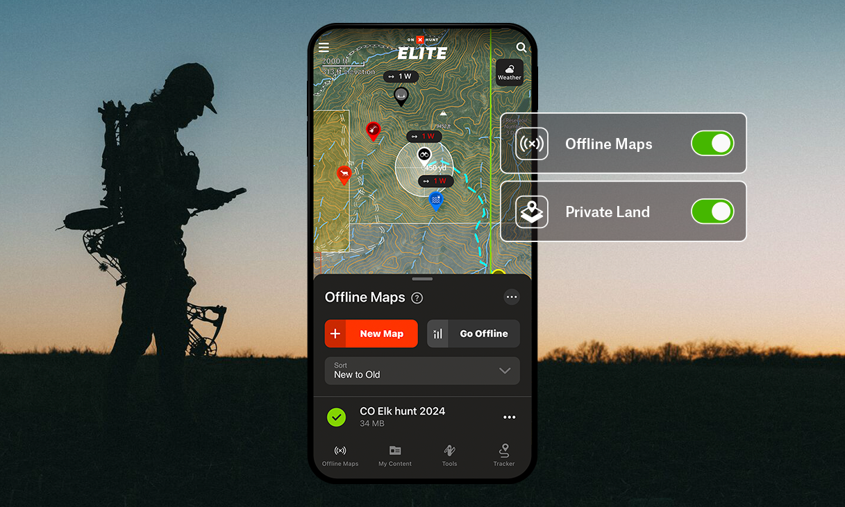
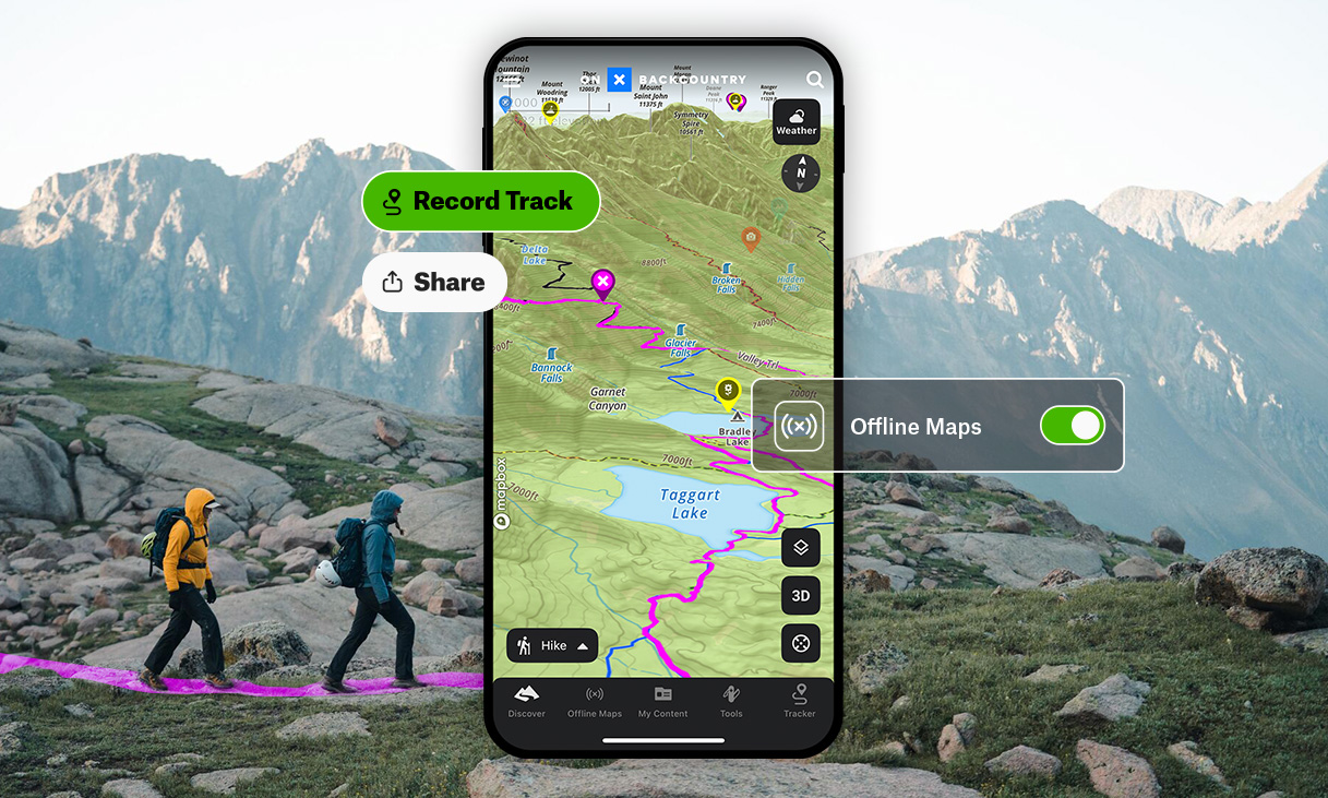
Track Every Move, Even Offline
When you turn on Tracker, you’re leaving more than a trail of breadcrumbs. Show every mile, plus any surprise detours, on your map so you can not only track progress, you’ve always got a digital string tied to your rig back at the trailhead. And since GPS works anywhere with a view of the sky, Tracker can follow you far beyond cell coverage and pairs with Offline Maps to record it all on the map.
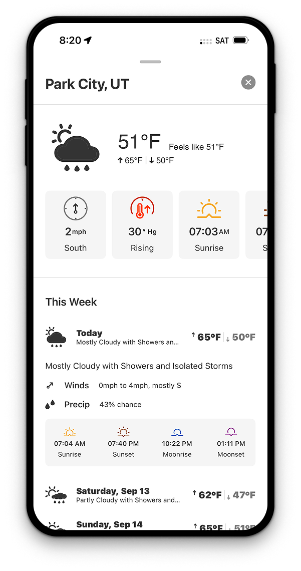
Weather in One Place
Current conditions and detailed forecasts paint a picture of what’s happening where you are and where you’re headed. Whether you’re chasing a powder day or being chased by unexpected storms, weather info that’s specific to your precise location—not just the nearest airport—lets you choose your next move.
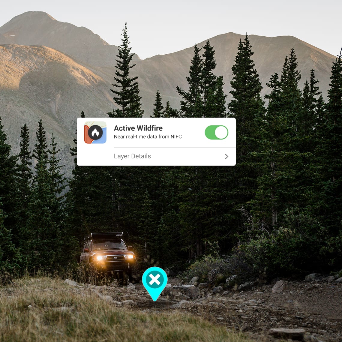
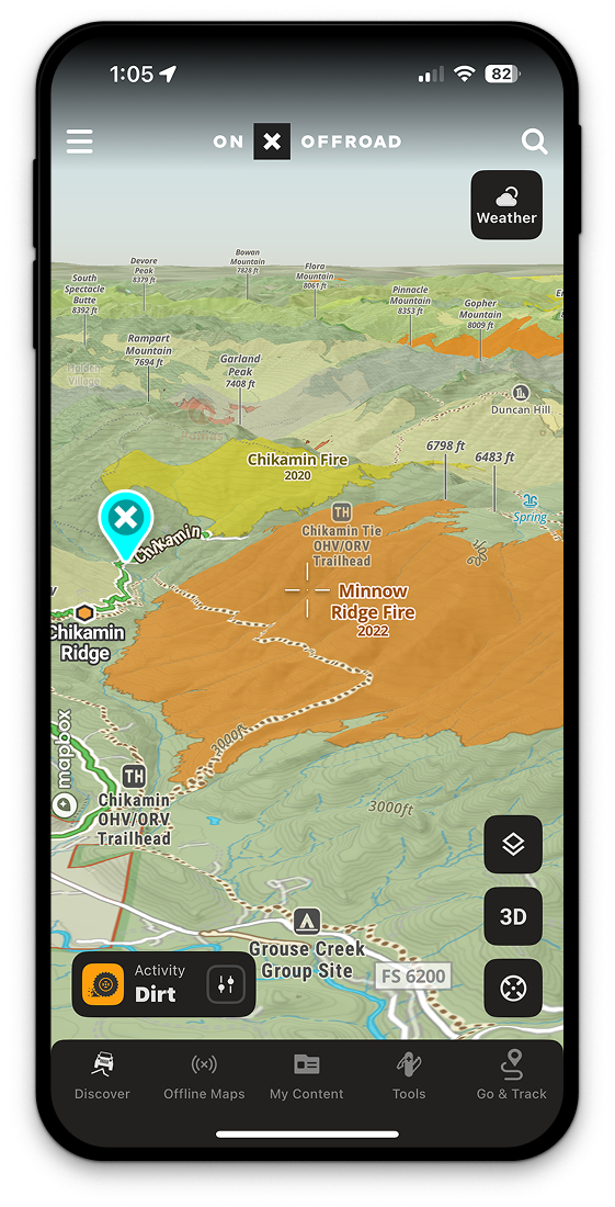

Detailed Wildfire Maps
Avoid active fire zones and unsafe air quality with layers that show current wildfire perimeters and the impacts of smoke from fires burning nearby or across the continent. You can also see historical wildfire data to make choices about where your adventures might be rich with mushrooms or stymied by downed trees and damaged routes.
Discover the App for You
However you like to get outside, onX has an app to get you out there. Enjoy years of experience distilled into easy-to-digest mapping tools and suggestions for a better day in the outdoors.


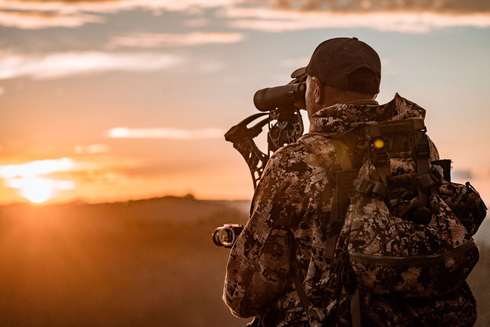
The #1 Hunting GPS App
Maps for hunting, made by hunters
Join the millions of hunters who trust onX Hunt to find more game, apply for tags, explore new areas and states, and hunt smarter.

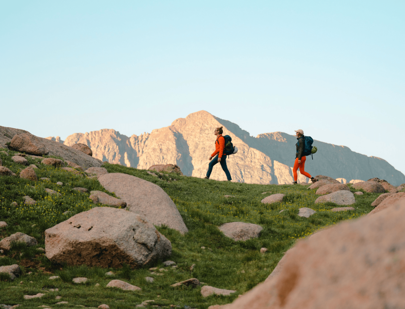
Plan and Discover Adventures Near You
onX Backcountry is the ultimate GPS navigation app,
purpose-built for all your outdoor pursuits. Try 3D maps specifically tailored for hiking, backcountry skiing, mountain biking, or rock climbing.

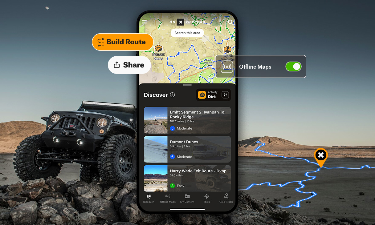
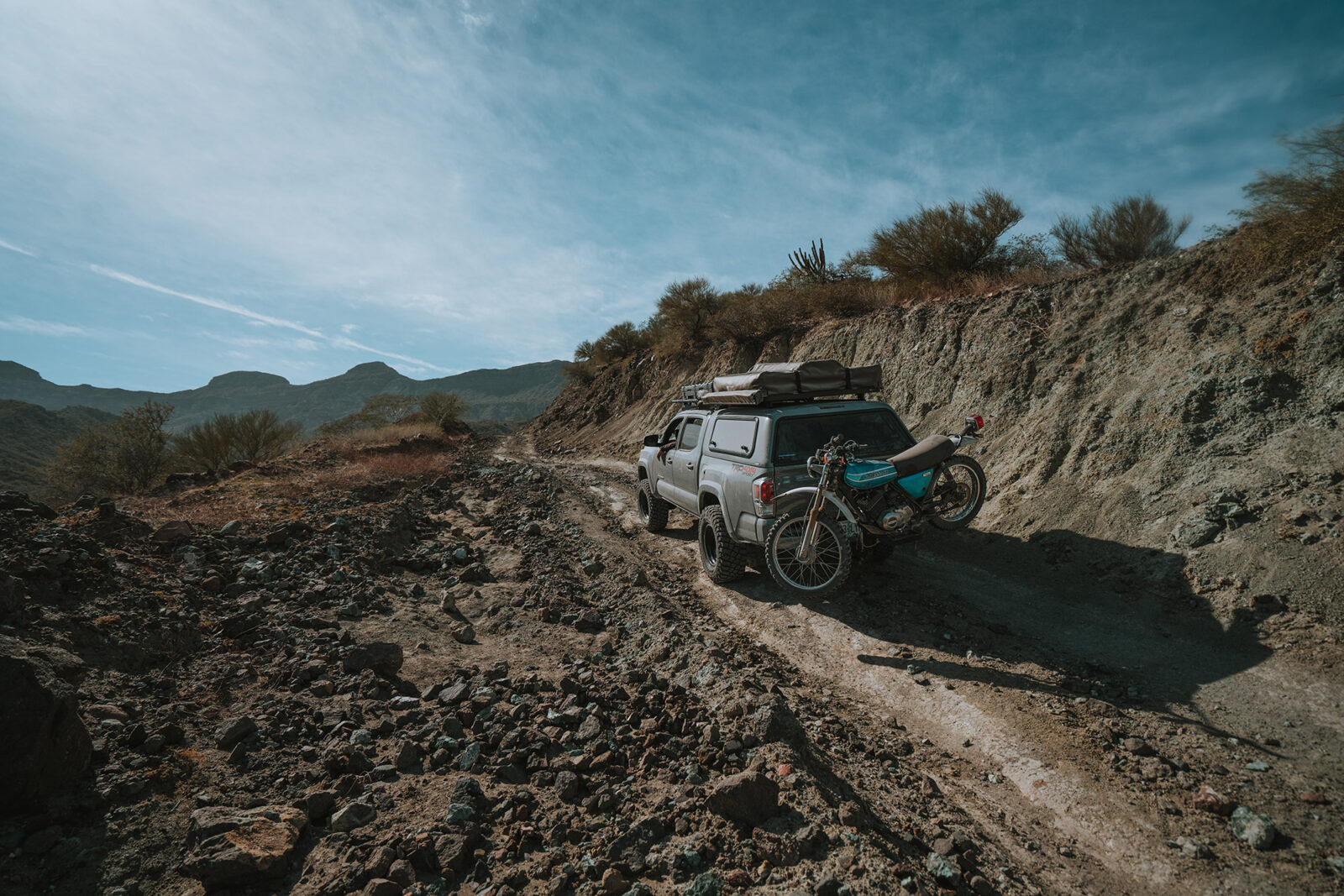
GPS Off-Road Map App
Built for Adventure
Use the most trusted GPS for off-roading and snowmobiling app,
onX Offroad, to discover nearby trails, plan and build routes in 3D, track your trips, and get home safely.

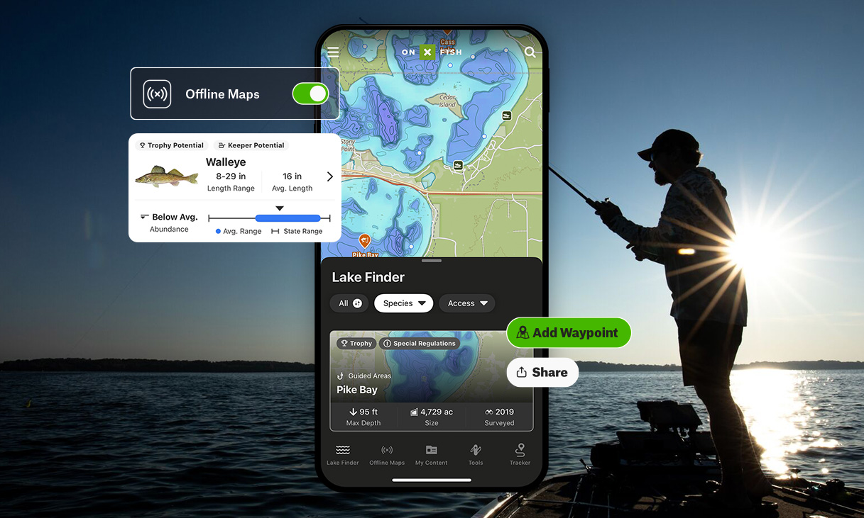
The Brand New onX Fish
Find and filter new lakes while allowing for easy identification of species, including their size and abundance. Plan from the couch or on the go to find your next favorite lake or take advantage of an opportunistic drive-by. Explore unknown spots like you’ve been fishing them for years.
Explore Other Ways onX Helps You

Build the Ultimate Plan
From trusted routes to terrain intel, onX helps you scout ahead, save key spots, and build a plan that’s ready for go time.
Learn More
Customize Your Map
Landscapes aren’t static, but paper maps are. onX helps you build your perfect map by melding your knowledge and experience with layers and tools to change the way you adventure.
Learn More

Understand the Land
Up your odds in any pursuit with a deeper understanding of terrain and access across the land you’re moving through.
Learn How

Get off the Grid
Head far from cell service confident in exactly where you are, where you’re headed, and how to get back.
Learn More