Start Mapping Today
Go farther with confidence
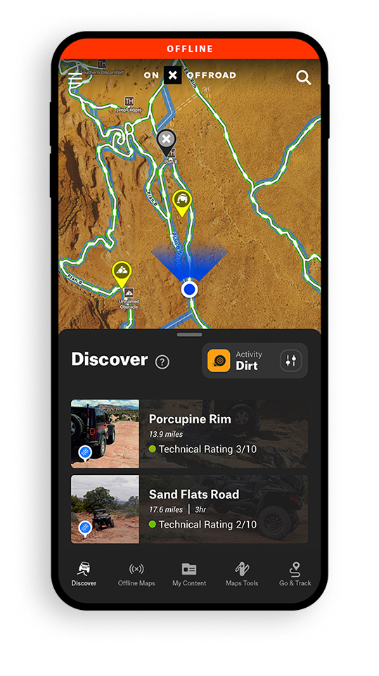
- Guidebook quality trail data
- 596k+ miles of open off-road trails
- 166k+ miles of dispersed camping
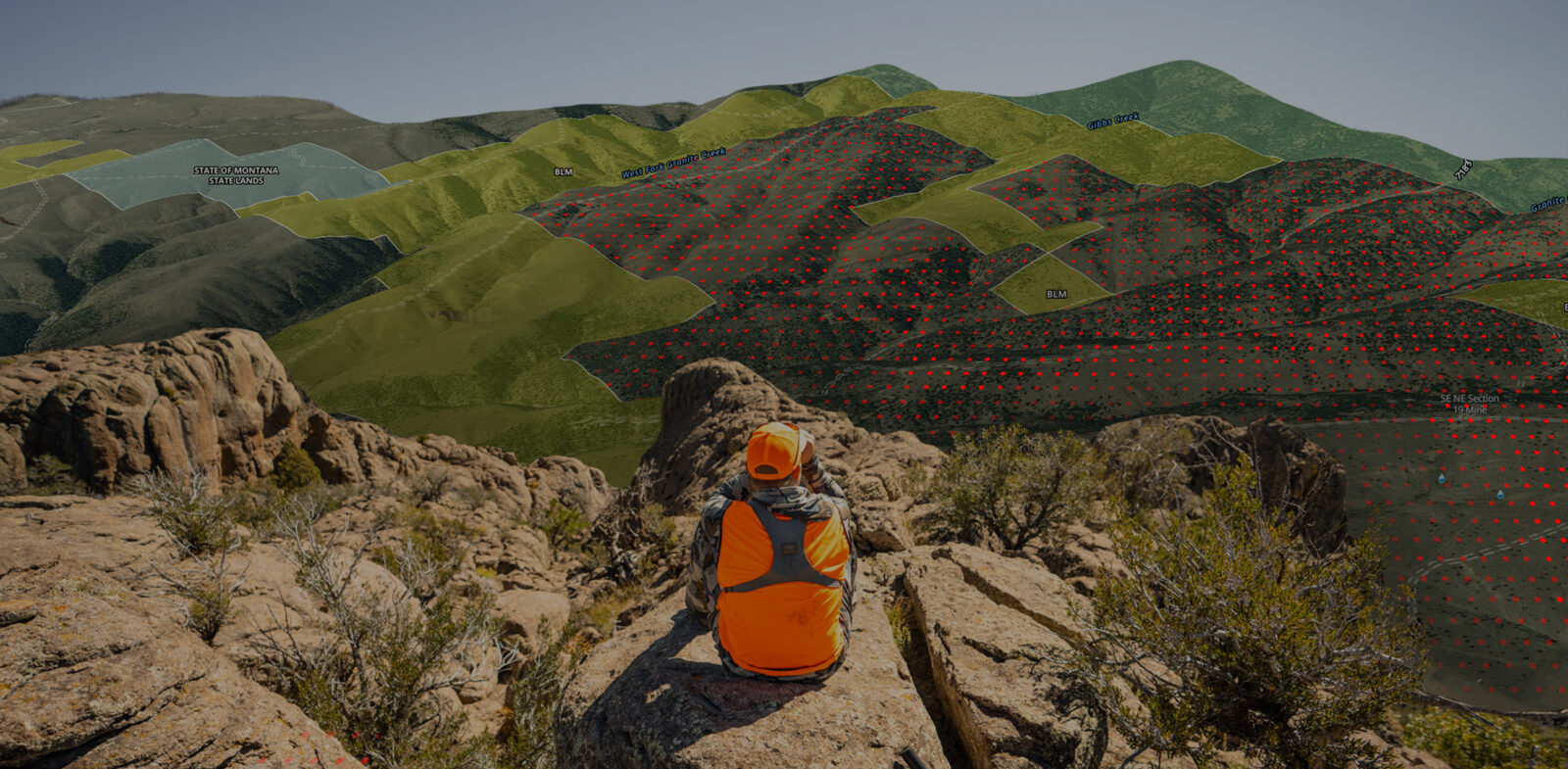
Trusted by millions of hunters nationwide
- Find the best places to hunt
- 15k+ unique hunting units
- 1.8 billion acres of public land mapped across USA and Canada
Plan and discover adventures near you
- 629k miles of trails for hiking, biking, and skiing
- 900+ regional classics, handpicked by local experts
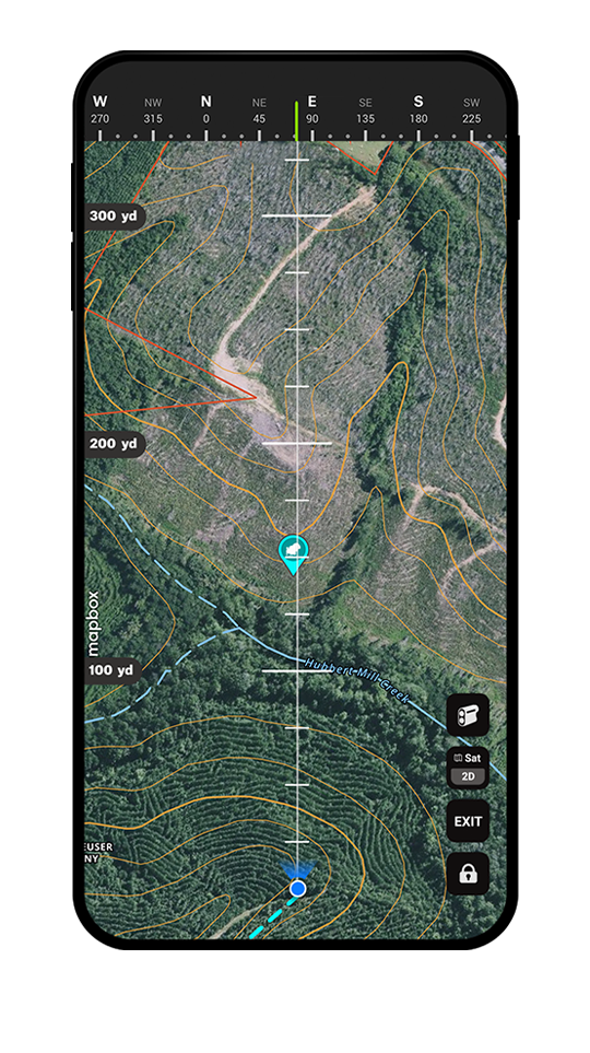
- LiDAR topo maps in 3D, available offline
Find and filter new lakes
- Now available in 10 Midwest states
- 11k+ lakes mapped with species-level data
- Filter by trophy potential, keeper potential, and high abundance
The Foundation Is Our Maps
Maps for every adventure.
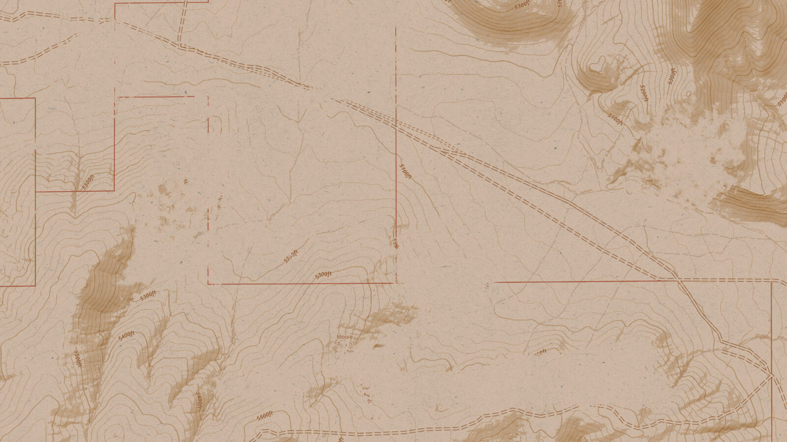
- We have brought together data from numerous federal, state, and county agencies to deliver one of the most accurate maps available today. All data is painstakingly combed through, organized, and verified before it is published on our maps.
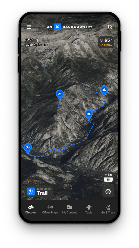
Our maps go with you as you travel and leave cellular service; our tools are built with that in mind. Download your Offline Maps and leverage your phone’s internal GPS to navigate offline.
Helping You Plan
Purpose built apps for your adventures.
- We took our maps and purpose-built suite of tools layering on additional data to help empower those who recreate outdoors.
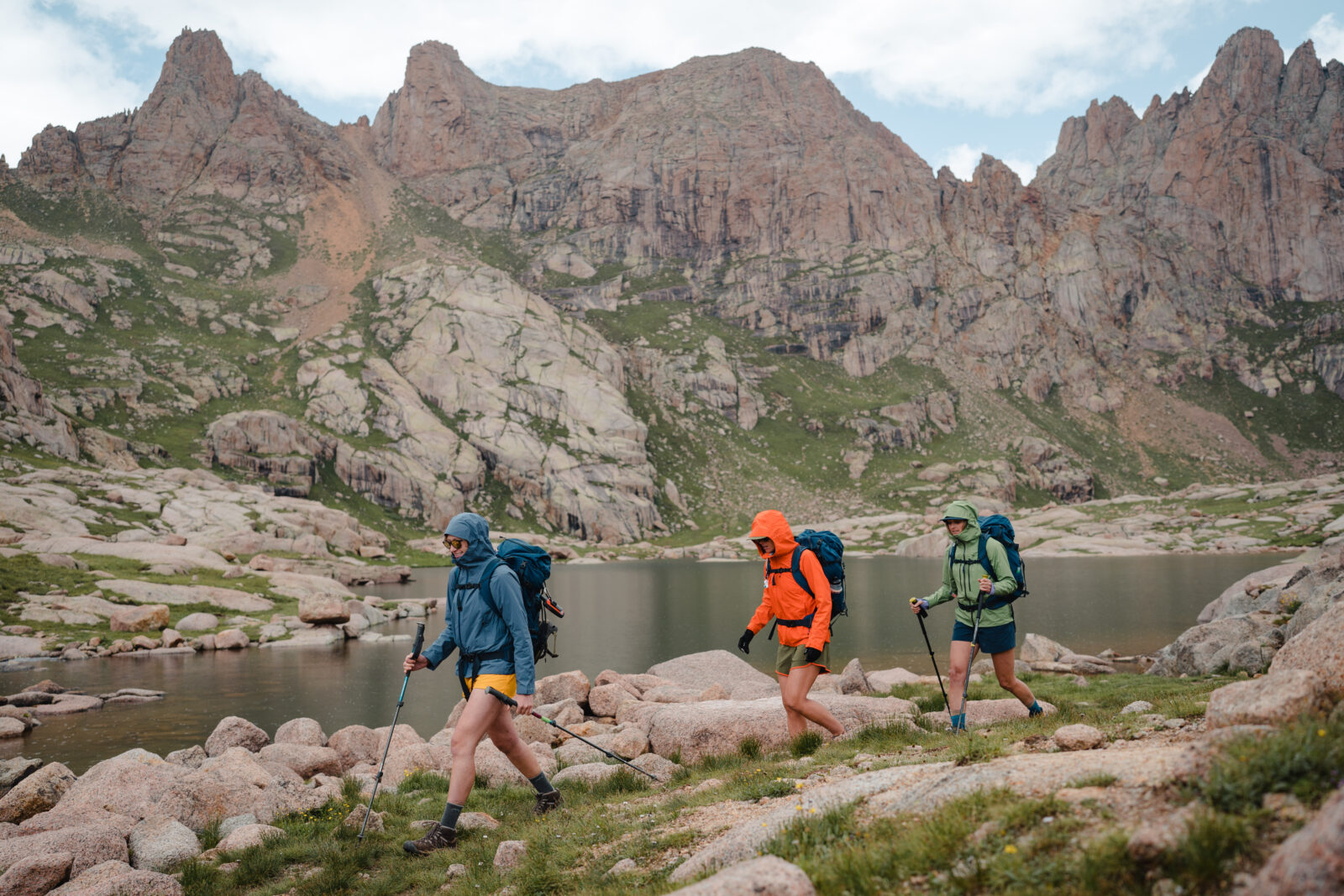
onX Backcountry is built for skiers, hikers, mountain bikers, and backpackers who are navigating human powered trails deep in the backcountry.
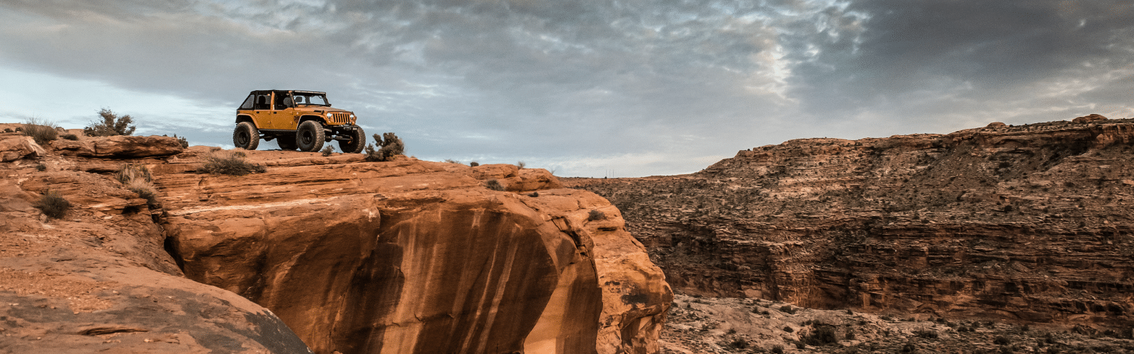
onX Offroad is a toolset built for off-roaders and averlanders; those who are navigating off-road trails and public lands.
onX Hunt was created for hunters and sportsmen wanting to navigate public and private lands and plan the perfect hunt. - onX Fish is built for Midwest anglers looking to find new lakes and new high-potential fishing opportunities.
Give Our Maps & Tools A Try
No-Risk, Free Trial
- While membership to the onX app of your choice does have an annual cost, there is no risk in giving it a try. You will not be charged for 7 days, and you can decide if it is right for you.
Our commitment to you does not stop when you subscribe. We are always improving our tools, mapping new trails, updating content, and exploring new ways to help you make the most of your maps.
We are passionate about spending time in the outdoors, and we want to help you spend less time planning and worrying and more time enjoying the fresh air.