
onX for Business: Emergency Response
Equip SAR, Wildland Fire, and Law Enforcement with familiar field mapping tools built for when every second matters. Centralized licensing, offline reliability, and team wide map sharing.
*Priced per user
Equip SAR, Wildland Fire, and Law Enforcement with familiar field mapping tools built for when every second matters. Centralized licensing, offline reliability, and team wide map sharing.
*Priced per user
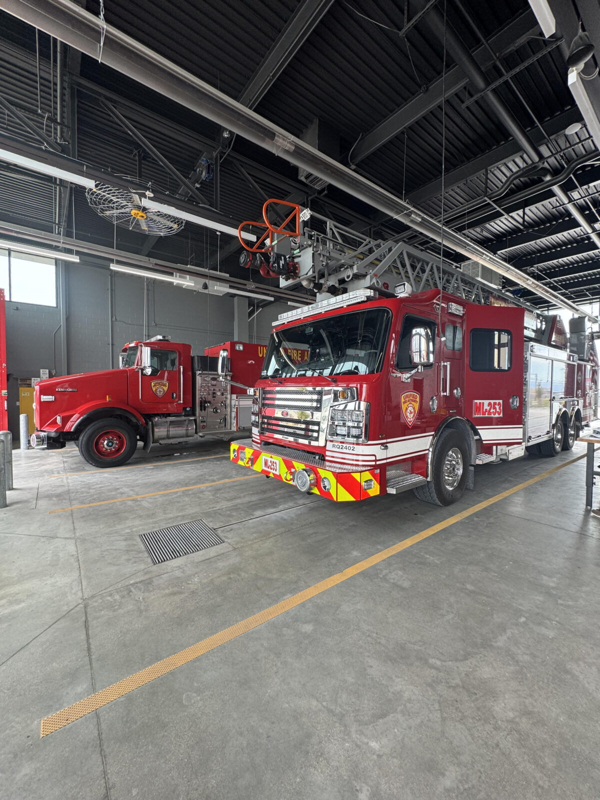
Built for Critical Missions

Real – World Results
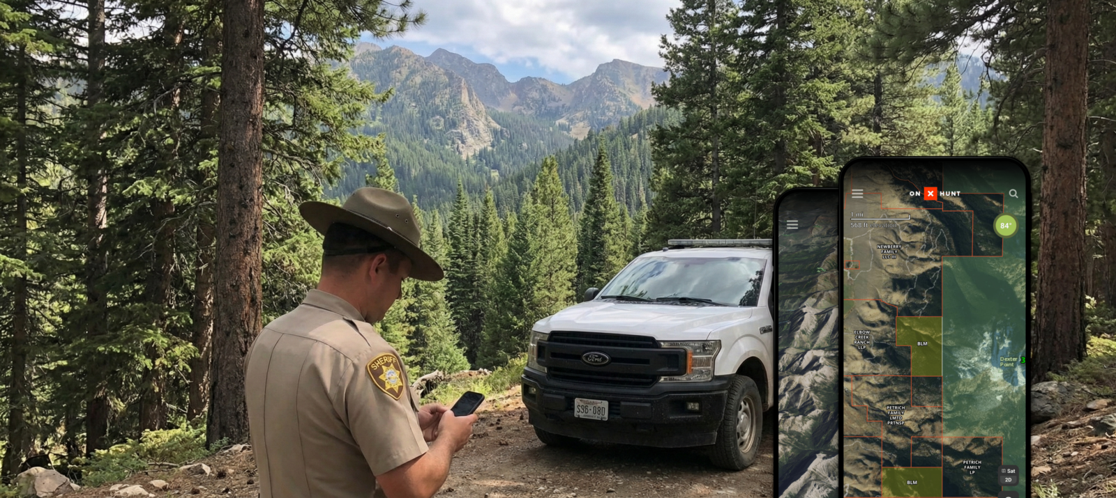
See how Ravalli Country Sheriff’s Department uses onX to replace cumbersome databases and manual notes with instant offline maps—empowering deputies to identify property boundaries, manage rapid evacuations, and silently guide backup to active scenes in cellular dead zones.
Learn how Loveland Fire Rescue Authority adopted onX to unify mapping operations—turning standard smartphones and tablets into powerful, offline navigation tools. Crews now use pre-synced maps, 3D Terrain, Route Builder, and custom waypoints to plan, navigate, and respond without connectivity.

“onX has become a critical piece of data for mission success. The tool facilitates pre-planning and quick decision-making, proving itself as mandatory equipment for modern fire operations.”
Lieutenant Matt DeDecker, Loveland Fire Rescue Authority
Learn How To Master the App:
Map, coordinate, and act—faster.
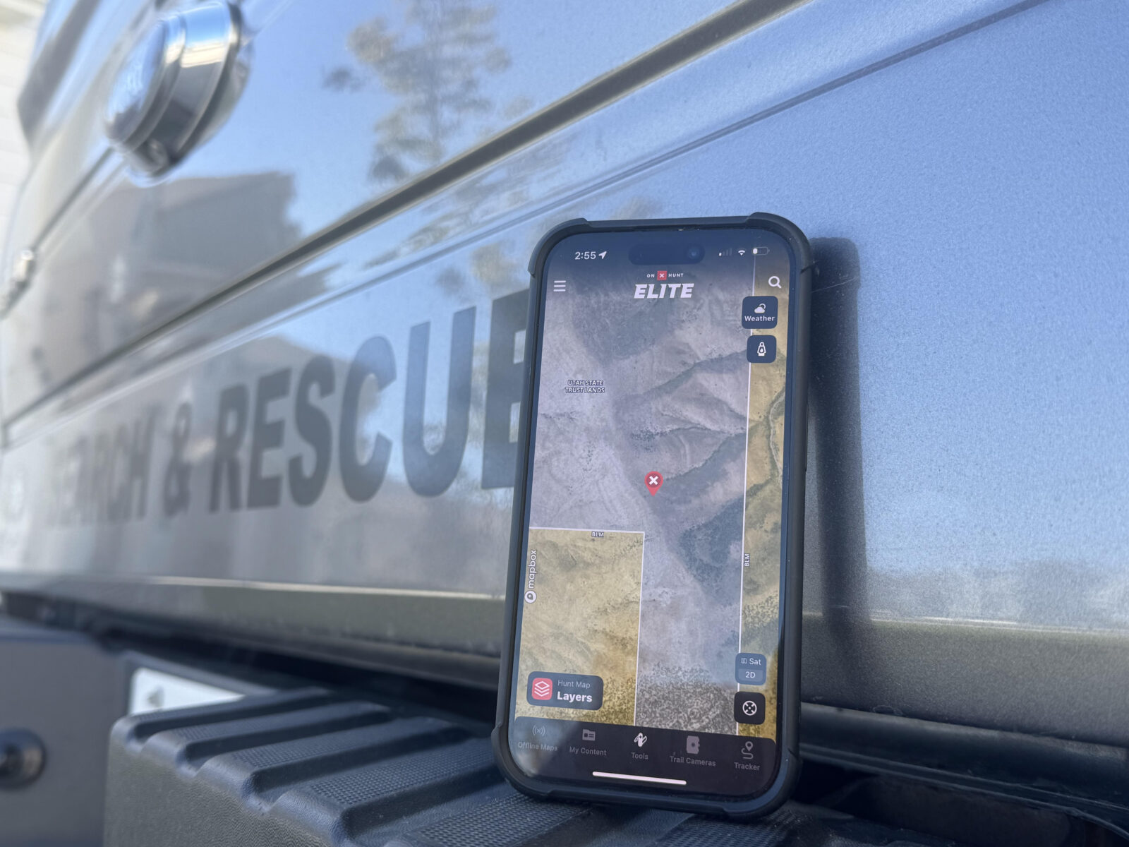
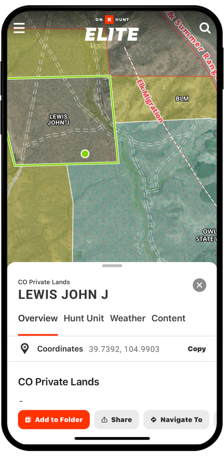
Always-On Mapping
Offline maps, topo, and incident layers available without connectivity.
Rapid Rollout
Team licensing and instant provisioning for cross‑agency teams.
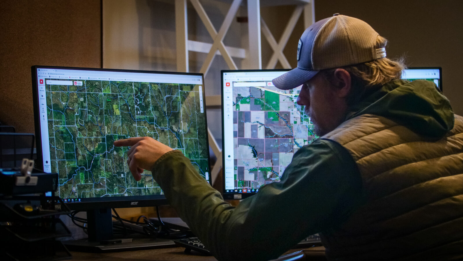
Shared Situational Intel
Consistent maps, waypoints, and boundaries keep everyone aligned.
Why Emergency Response Crews Choose onX
Familiar Tools, Faster Adoption
Teams already know onX which reduces training time and allows your team to start using it immediately.
Offline Reliability
Download unlimited maps and layers for remote operations with zero connectivity.
Easy Collaboration
Organize missions and keep every unit working from the same boundaries, tracks, and waypoints.
Operational Impact You Can Measure
50% faster onboarding with familiar apps
1 admin → 50+ licenses managed in minutes
Shared maps reduce miscommunication & rework