
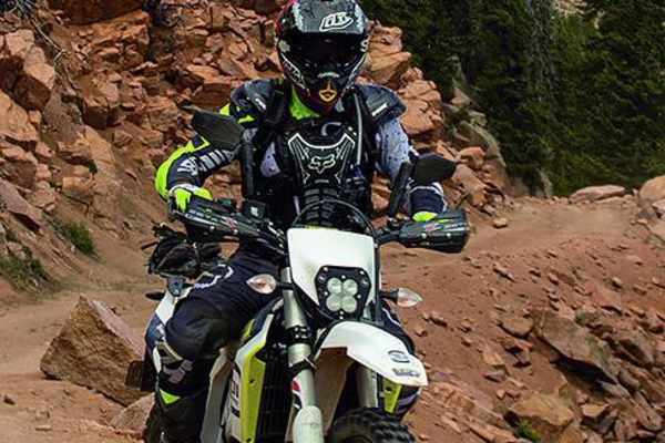
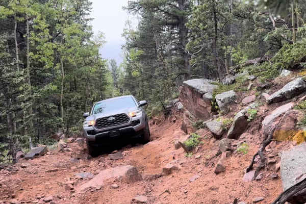
Off-Road Trails
Near Goldfield, Colorado
Off-Road Trails Near Goldfield, Colorado
Discover the best offroad trails near you. Browse trail maps, check difficulty ratings, and find your next adventure — whether you're looking for a quick ride or an all-day expedition.
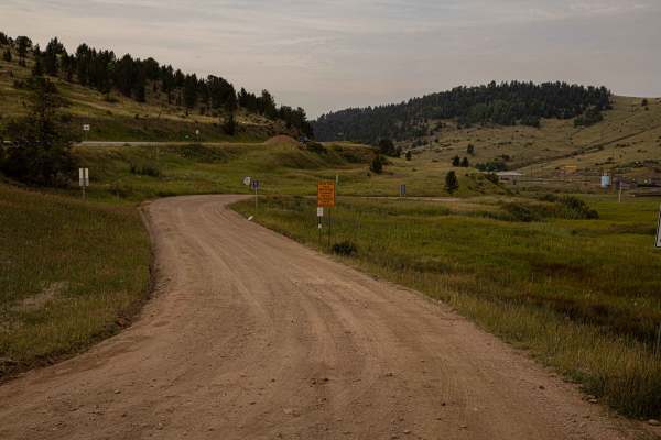
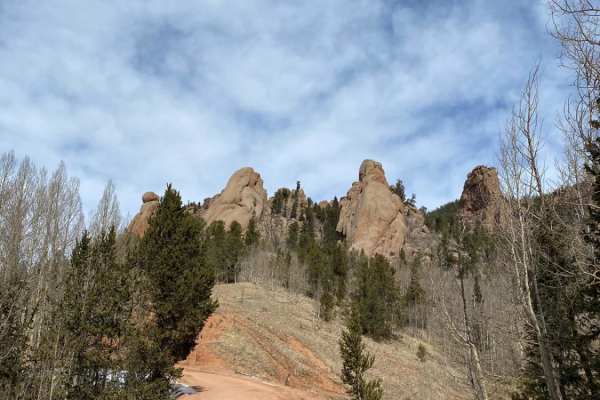
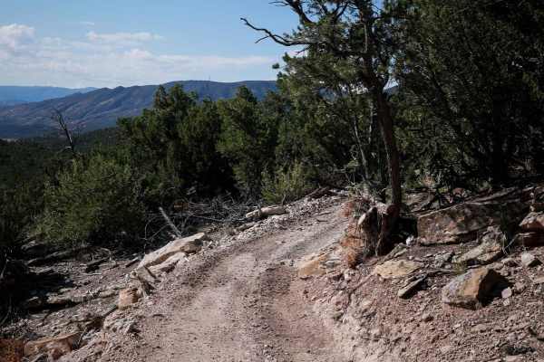
Shelf Road
Shelf Road is a heavily traveled network of trails beginning just south of Cripple Creek, offering a mix of steep, rugged terrain and historic scenery. The trail features old mines, ghost towns, and multiple 4x4 spur roads branching off near Sand Gulch and The Banks Campground, one of Colorado’s mos...
Learn more about Shelf Road
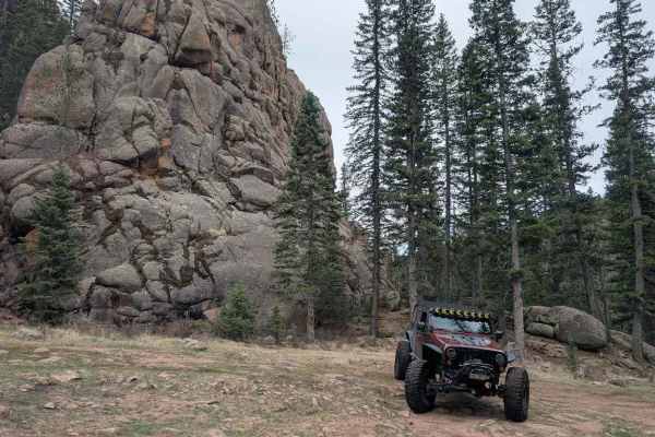
Bull Park Road
The trail begins as you turn off of Seven Lakes Rd (376) and cross Boehmer Creek. Right at 1/4 mile into the trail, a small rock garden, that's usually wet, serves as an unofficial gatekeeper, so you'll know what's in store for the remainder of the trail. You'll climb a couple of switchbacks until y...
Learn more about Bull Park Road
Seven Lakes Road
Seven Lakes Road branches off from Gold Camp Road and is typically very well-maintained. While more of a road than a trail most of the time, it leads to both Bull Park Rd and Frosty Park Road. From Gold Camp Road to the Colorado Springs Utilities' gate, you'll gain just over 1,300' in just over thre...
Learn more about Seven Lakes Road
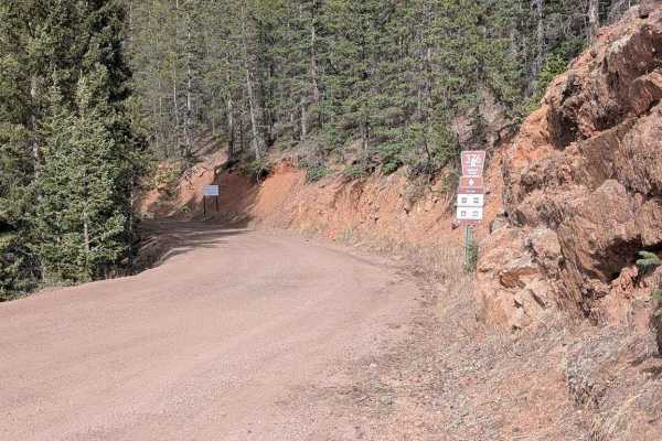
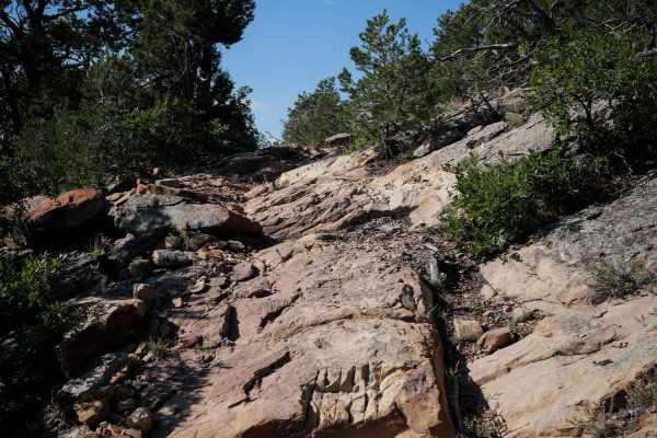
Saran Wrap Road - FS 370D
Saran Wrap Road (FS 370D) is a scenic loop trail consisting of mostly rock, dry mud and gravel in the Pike National Forest near Colorado Springs, CO. The trail consists of a couple obstacles that require high clearance 4x4 and moderate off-camber sections requiring careful tire placement. There are ...
Learn more about Saran Wrap Road - FS 370D
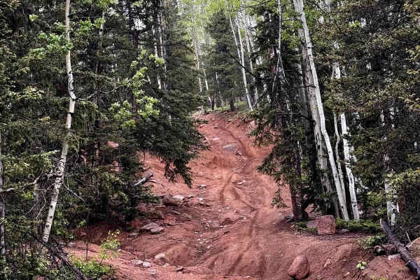
Gould Creek Road
This out-and-back trail descends from Gold Camp Road into a peaceful, quiet valley with a small creek running alongside most of the way. There are occasional off-camber rocky sections, but nothing too challenging for those with some off-road experience. Once you reach the valley floor, take in the v...
Learn more about Gould Creek Road
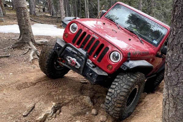
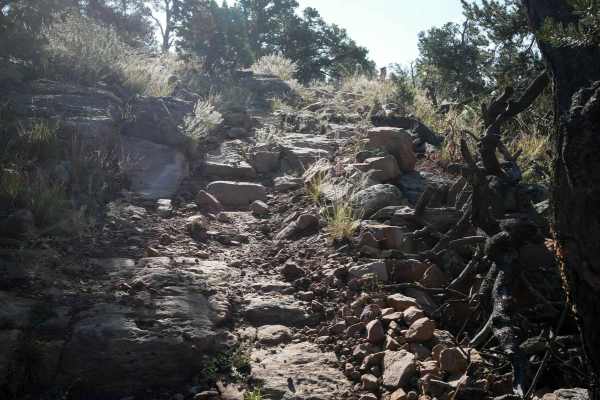
Eagle Rock Road
This 2.1-mile point-to-point trail is great for the intermediate to advanced off-roader. Though rated as a 6 there are more difficult lines available that are rated 7 to 8. Several of the more difficult obstacles do have a bypass. The Rock Garden, approx. halfway through the trail, is the most diffi...
Learn more about Eagle Rock Road
Frosty Park Road
Frosty Park Road is a fun trail to use as an alternate exit after running Eagle Rock or Mount Baldy Trails, or on its own from Seven Lakes Road (FS 376). The trail winds through heavy forest and in and out of wide open meadows. There are signs of prior tracks that are now closed or illegal, so be su...
Learn more about Frosty Park Road
The Banks BLM Road 5820
The road is easy at the beginning and gets rocker toward the top in several sections. The road is narrow for the first mile and on weekends the area is very busy. At the start, you travel down into a canyon with Great Cliffs, then opens up into high meadows with nice views.
Learn more about The Banks BLM Road 5820
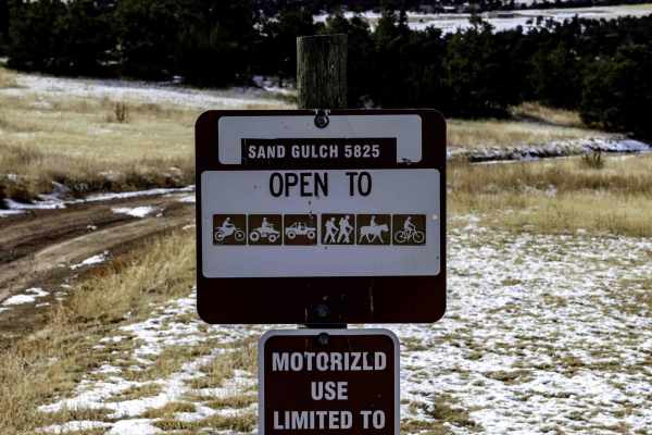
Sand Gulch to The Banks
From the Sand Gulch Trailhead, the road starts out easy for the first mile then turns rocky with larger rocks and ruts. In winter time it is best to travel from Sand Gulch Trailhead to the banks which is the north end. There are steep hills on the northern slopes that you can make it down in the sno...
Learn more about Sand Gulch to The Banks
Mount Baldy
As you start the trail, you'll pass through Frosty Park where you'll find some great camping spots. The trail ends just below Mt. Baldy and south of Almagre Mountain. You'll have to hike the rest of the way, but you'll get astounding, panoramic views from the top of of these peaks. When you're ready...
Learn more about Mount Baldy
Mount Rosa Road - FS 381
Mount Rosa Road (FS 381) is a scenic 4-mile out-and-back trail in the Pike National Forest near Colorado Springs, CO consisting of mostly rock, dry mud, and gravel. The trail consists of a couple of scenic stops to enjoy the views of the surrounding Pike National Forest. There is a shelf road at the...
Learn more about Mount Rosa Road - FS 381
5830D
This ATV trail is short, but has some challenging rocky sections. The south end starts out climbing on some rock slabs heading up a mesa full of pinyon pine trees. It switchbacks into more slab rock layers, with some small ledges. It continues curving through the pinyon trees with small loose rocks ...
Learn more about 5830D
Gold Camp Rd to Cripple Creek
Gold Camp originally connected the Cheyenne Mountain area to Cripple Creek, but in 1988, Tunnel #3 collapsed, and a large section of Gold Camp was closed to vehicles, but left open to hikers and bikers. The road that now connects to Cripple Creek picks back up around the Broadmoor in southeast Color...
Learn more about Gold Camp Rd to Cripple Creek
Fred Garza Memorial Trail
The 2 mile long Fred Garza ATV trail starts off of 5830D, and becomes really rocky right away, with big boulders embedded in the dirt, and lots of small loose rocks covering the surface of the trail. There are big long sections of slab rock that are sometimes flat and sometimes more rounded and chun...
Learn more about Fred Garza Memorial Trail
5830C
This is a 0.7 mile long intermediate ATV trail through the Seep Springs Recreation Area. The east side starts at the intersection with Fred Garza Trail, and winds around the top of the mesa through pinyon pine, on a tight two-track between the trees. There are small loose rocks in the trail and big ...
Learn more about 5830C
BLM 5830G
Easy to moderate short trail located outside of Canon City, CO. Out and back trail with great spots for dispersed camping. Dirt and gravel road winding through red rock formations and rolling high-desert terrain. At the end, the trail provides a hiking path to view a scenic overlook. The trail is li...
Learn more about BLM 5830G
Maverick
Maverick Trail is 1.6 miles long, for vehicles 50" or less. The north end starts at a wooden pinch point and enters the pinyon pine trees. You have to duck under several branches when making many sharp turns and twisty curves through the trees. There are loose small pieces of rock in the trail, but ...
Learn more about Maverick
Old Stage Rd
Easy trail with beautiful views. 4WD is recommended, especially after snowfall. This trail leads to Gold Camp Road. Take switchbacks cautiously, as they can become narrow, and on-coming traffic can be hard to see. The last mile or so is the most rutted, with some larger rocks to get over.
Learn more about Old Stage Rd
BLM 5830E
Easy-to-moderate trail located outside of Canon City, Colorado. Out-and-back trail with great spots for dispersed camping. Dirt, gravel, and sandy roads winding through red rock formations and rolling high-desert terrain. Two rock obstacles make this trail slightly more advanced for the beginner dri...
Learn more about BLM 5830E
BLM 5830H
Easy-to-moderate short trail located outside of Canon City, Colorado. This out-and-back trail is great for dispersed camping. Dirt and gravel roads winding through rolling high-desert terrain. The area is lined with juniper bushes, sagebrush, and cacti, and features a unique rock wall at the end of ...
Learn more about BLM 5830H
ATV trails near Goldfield, Colorado
Explore ATV-friendly trails near you. These trails are accessible for vehicles up to 50 inches wide, perfect for ATVs and smaller off-road machines.
Bull Park Road
The trail begins as you turn off of Seven Lakes Rd (376) and cross Boehmer Creek. Right at 1/4 mile into the trail, a small rock garden, that's usually wet, serves as an unofficial gatekeeper, so you'll know what's in store for the remainder of the trail. You'll climb a couple of switchbacks until y...
Learn more about Bull Park Road
Saran Wrap Road - FS 370D
Saran Wrap Road (FS 370D) is a scenic loop trail consisting of mostly rock, dry mud and gravel in the Pike National Forest near Colorado Springs, CO. The trail consists of a couple obstacles that require high clearance 4x4 and moderate off-camber sections requiring careful tire placement. There are ...
Learn more about Saran Wrap Road - FS 370D
Gould Creek Road
This out-and-back trail descends from Gold Camp Road into a peaceful, quiet valley with a small creek running alongside most of the way. There are occasional off-camber rocky sections, but nothing too challenging for those with some off-road experience. Once you reach the valley floor, take in the v...
Learn more about Gould Creek Road
Frosty Park Road
Frosty Park Road is a fun trail to use as an alternate exit after running Eagle Rock or Mount Baldy Trails, or on its own from Seven Lakes Road (FS 376). The trail winds through heavy forest and in and out of wide open meadows. There are signs of prior tracks that are now closed or illegal, so be su...
Learn more about Frosty Park Road
UTV/side-by-side trails near Goldfield, Colorado
Find UTV and side-by-side trails near you. These trails accommodate vehicles up to 60 inches wide, ideal for UTVs, side-by-sides, and wider off-road rigs.
Bull Park Road
The trail begins as you turn off of Seven Lakes Rd (376) and cross Boehmer Creek. Right at 1/4 mile into the trail, a small rock garden, that's usually wet, serves as an unofficial gatekeeper, so you'll know what's in store for the remainder of the trail. You'll climb a couple of switchbacks until y...
Learn more about Bull Park Road
Saran Wrap Road - FS 370D
Saran Wrap Road (FS 370D) is a scenic loop trail consisting of mostly rock, dry mud and gravel in the Pike National Forest near Colorado Springs, CO. The trail consists of a couple obstacles that require high clearance 4x4 and moderate off-camber sections requiring careful tire placement. There are ...
Learn more about Saran Wrap Road - FS 370D
Gould Creek Road
This out-and-back trail descends from Gold Camp Road into a peaceful, quiet valley with a small creek running alongside most of the way. There are occasional off-camber rocky sections, but nothing too challenging for those with some off-road experience. Once you reach the valley floor, take in the v...
Learn more about Gould Creek Road
Eagle Rock Road
This 2.1-mile point-to-point trail is great for the intermediate to advanced off-roader. Though rated as a 6 there are more difficult lines available that are rated 7 to 8. Several of the more difficult obstacles do have a bypass. The Rock Garden, approx. halfway through the trail, is the most diffi...
Learn more about Eagle Rock Road
The onX Offroad Difference
onX Offroad combines trail photos, descriptions, difficulty ratings, width restrictions, seasonality, and more in a user-friendly interface. Available on all devices, with offline access and full compatibility with CarPlay and Android Auto. Discover what you're missing today!
Open Trail Map