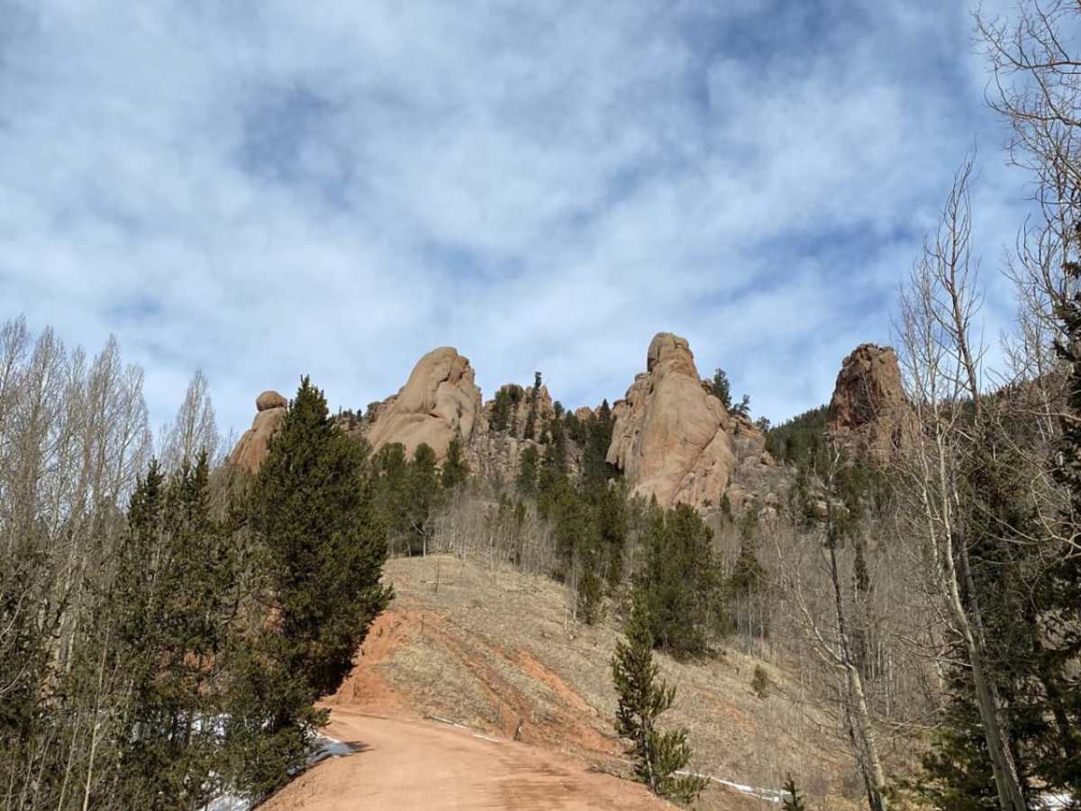
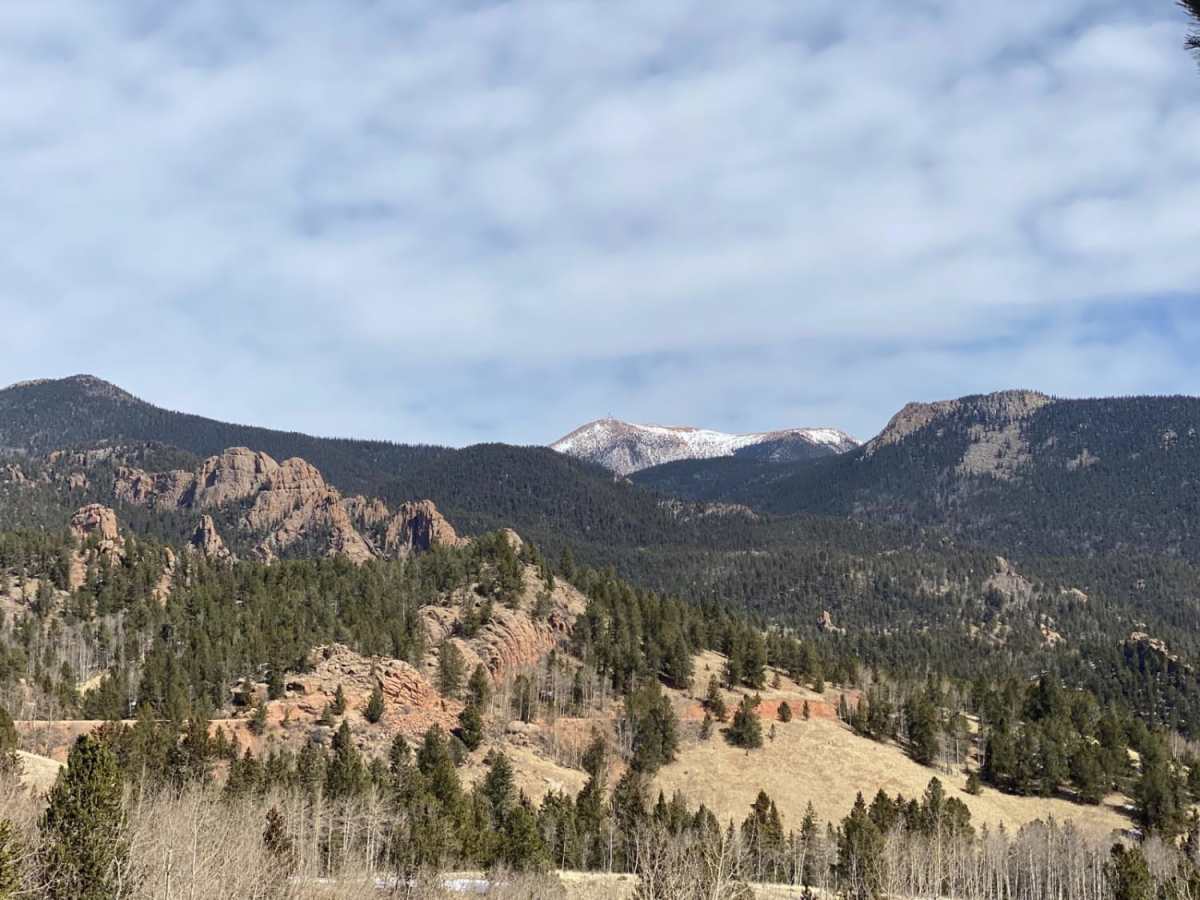
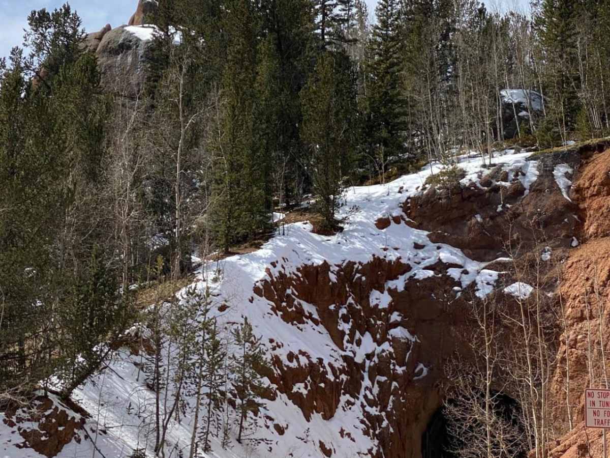
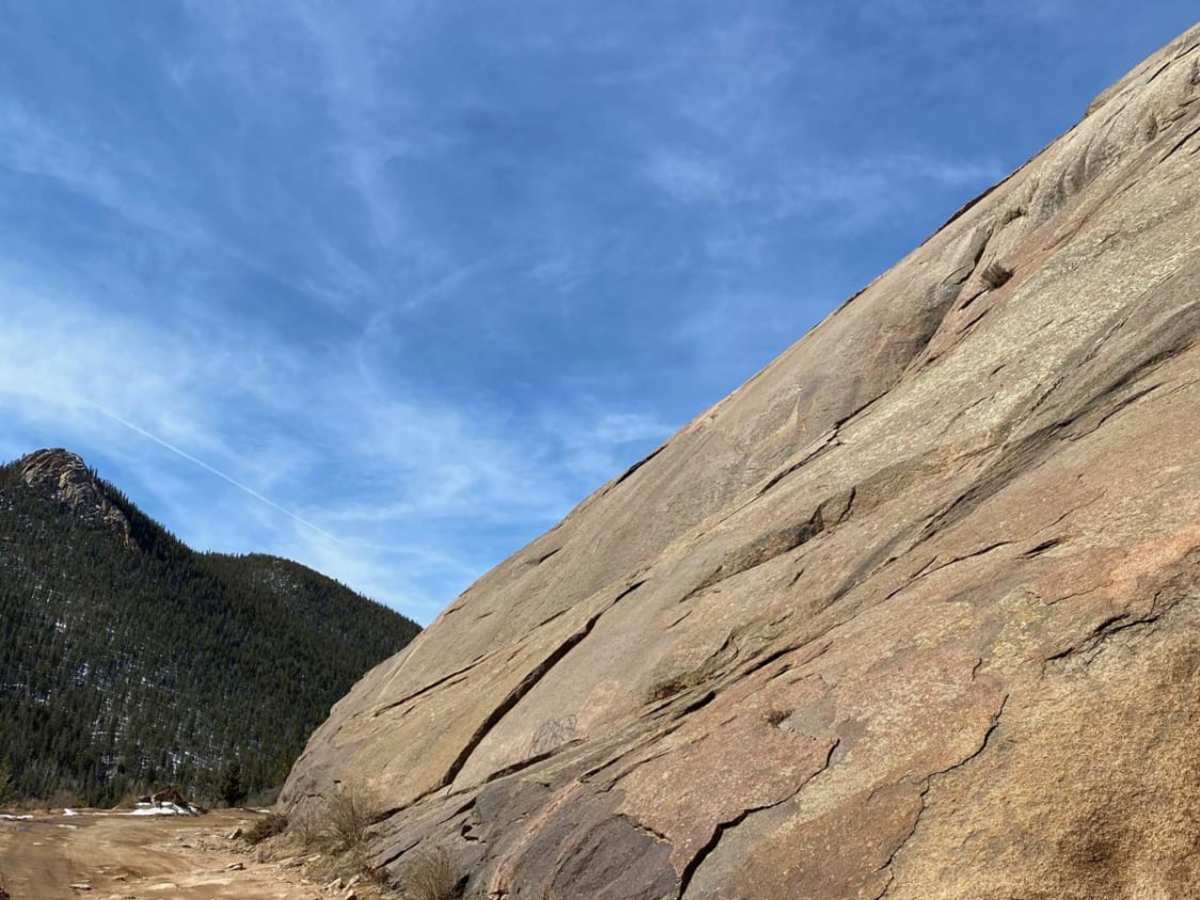
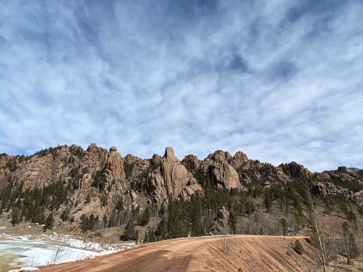
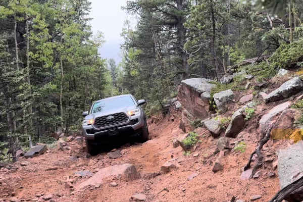
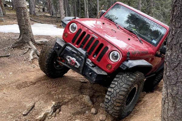
Gold Camp Rd to Cripple Creek

Total Miles 20.9
Technical Rating
2 Easy
Best Time Spring, Summer, Fall
Trail Type Full-Width Road
Accessible By
Open Trail Map

Trail Overview

Gold Camp originally connected the Cheyenne Mountain area to Cripple Creek, but in 1988, Tunnel #3 collapsed, and a large section of Gold Camp was closed to vehicles, but left open to hikers and bikers. The road that now connects to Cripple Creek picks back up around the Broadmoor in southeast Colorado Springs. Technically, you will be on Old Stage Coach Rd before returning to the real Gold Camp Rd. This is not a challenging road, but it connects Colorado Springs to Cripple Creek and other great 4x4 roads on the way. It was initially a Ute Indian Trail and then a rail line. It features extensive views, especially in the fall when the aspens turn. Most of the 26 miles allow for two-way traffic, but there are many tight curves with low visibility and several washed-out areas, especially during the summer peak season.

Photos of Gold Camp Rd to Cripple Creek

Difficulty

It could be a 1 except the road is not maintained regularly.

History

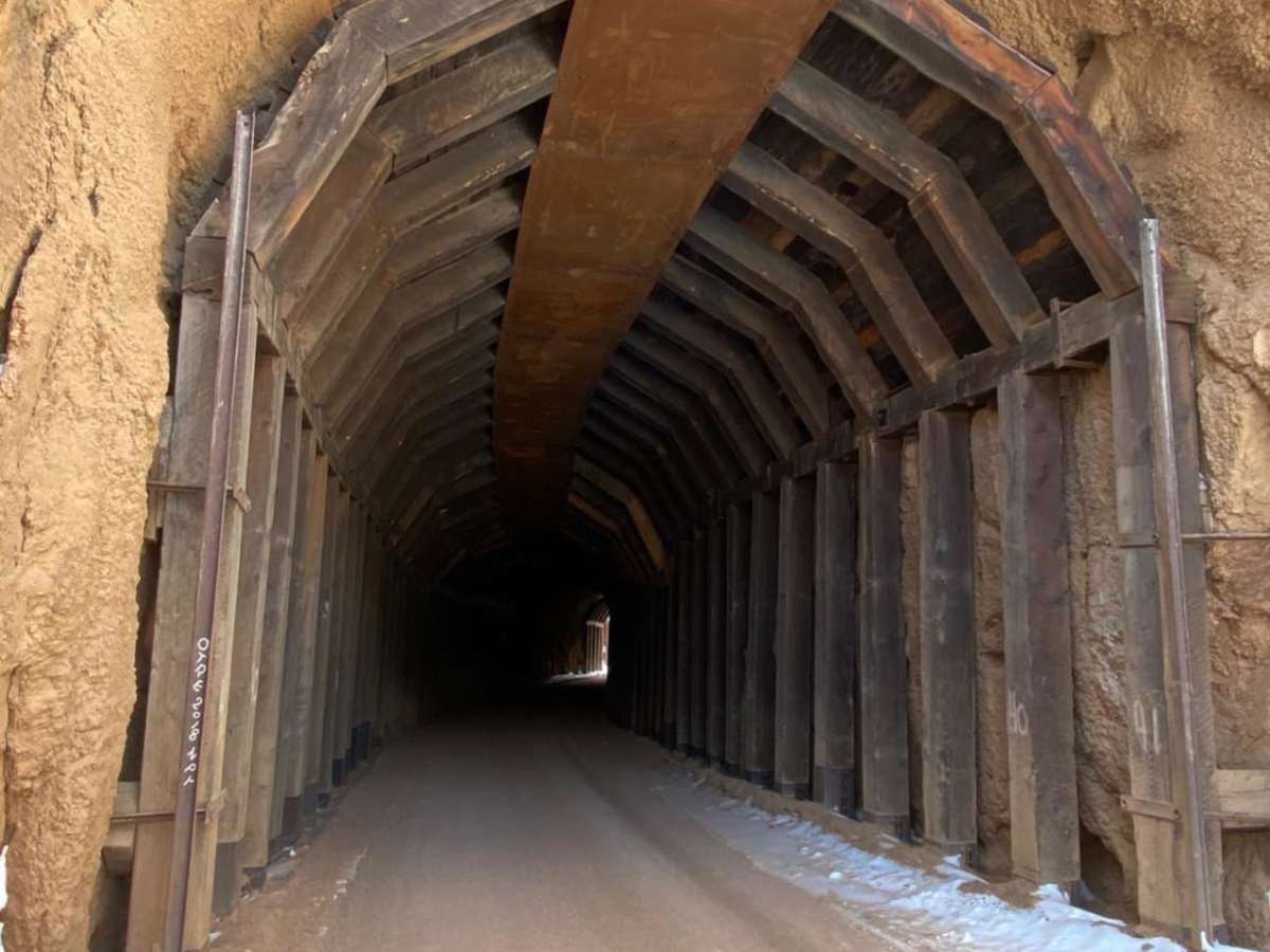
Originally it was a Ute Indian Trail that wound around Pikes Peak. It later became a railroad line with the discovery of gold in Cripple Creek. It had nine tunnels when built, but only tunnel #9 still remains. In the early 1900's another rail line to Cripple Creek opened and in 1939 the federal government took over gold camp. Tunnel #9 has been preserved by a local historical society.

Technical Rating

2

Status Reports

Add Status Report
Wicked Bastard
Dec 28, 2025
Open
Trailhead two or three inches of snow in some places. Switchback turns could be slippery. Did not run into any significant issues
Alejandro Bedolla
Dec 13, 2025
Open
Light snow here and there but mostly melting.
Mike L
Nov 29, 2025
Open
A little icy in the shade but nothing serious
Sam Green
Nov 15, 2025
Open
Lesley Wathen
Jul 21, 2025
Open
Hunter Binkiewicz
May 17, 2025
Open
Very nice easy afternoon trail, we enjoyed taking in the sites along the way. We started from The Springs and went to Victor. Lots of traffic in the begging of the trail, many cars and people driving fast down the hill so stay alert. Once you get past the look out the trail became less busy. Highly recommend for a nice afternoon ride!
Tyler M
May 05, 2025
Open
Jeremy Portillo
May 04, 2025
Open
Great ride from Springs to Cripple Creek area, just beat all the rain. Not too bad, lots of people shooting, people still fly down these roads and aren’t thinking about others so be careful around really tight turns where you can’t see out. Great easy run, all around. No snow.
Christopher Elmore
Apr 27, 2025
Open
Trail was awesome. Still snow on the high peaks but road was dry and dusty. Lots of other vehicles on the trail. The trip is definitely one that is going to be repeated. We drove into cripple creek.
Taylor Ingram
Apr 06, 2025
Open
Minimal ice on the route passable by dirt bike / dual sport. Pretty decent ride.
T C
Feb 07, 2025
Open
Very muddy, with some sections of thick, slick ice/snow slush mixed with mud. A few sections of 8-12" deep ruts.
Keenan Combis
Jan 31, 2025
Open
Was only plowed up to county lines so wasn’t able to drive through the BLM section, open but lots of snow still
Caleb Hildebrand
Jan 07, 2025
Open
put down fresh tracks all the way to the tunnel.
Hunter Kahn
Oct 02, 2024
Open
Barney Royalty
Sep 08, 2024
Open
The road was fine. A few aspens are just starting to turn. They'll be spectacular in a few weeks!

Gold Camp Rd to Cripple Creek Trail can be accessed by the following ride types:

  • High Clearance
  • Full Width

Gold Camp Rd to Cripple Creek Map

The onX Offroad Difference

onX Offroad combines trail photos, descriptions, difficulty ratings, width restrictions, seasonality, and more in a user-friendly interface. Available on all devices, with offline access and full compatibility with CarPlay and Android Auto. Discover what you're missing today!

Open Trail Map