Mount Baldy

Total Miles6.2
Technical Rating
3Easy
Best TimeSummer, Fall
Trail TypeFull-Width Road
Accessible By
Open Trail Map

Trail Overview

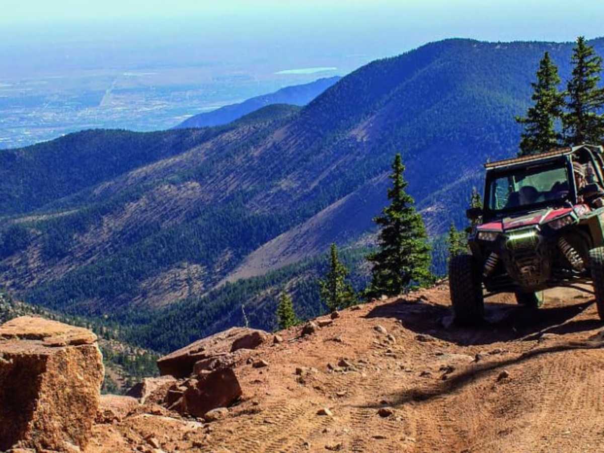
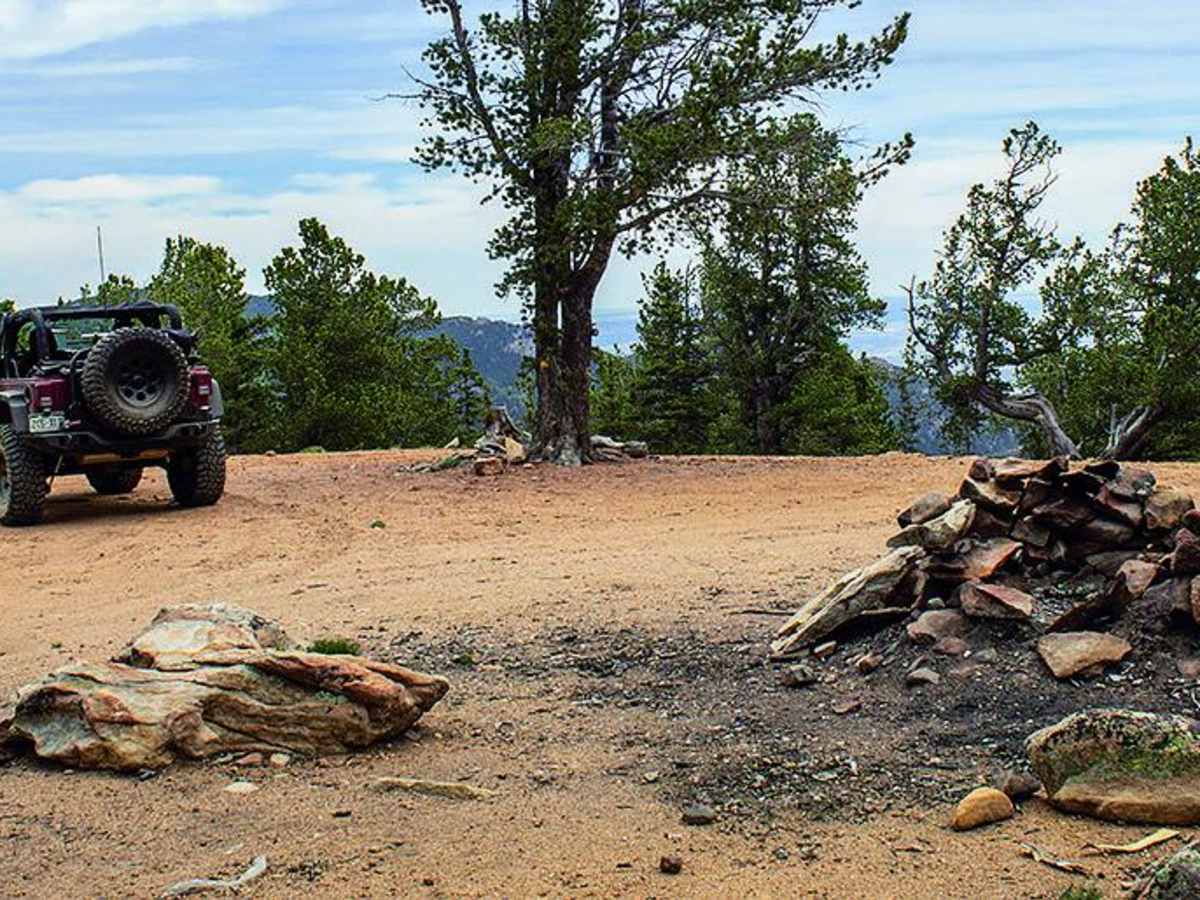
Mount Baldy (Forest Service Road 379) is an ideal route for intermediate offroaders seeking a scenic, high-elevation climb with panoramic views of the southern Front Range near Colorado Springs. This 6.2-mile dirt and rock trail begins near Rosemont Reservoir off Gold Camp Road and ascends over 2,050 feet, reaching a maximum elevation of 11,821 feet near Stratton Reservoir. Along the way, the trail winds through the forested campsites of Frosty Park before tackling steeper, narrower shelf sections on Almagre Road. High-clearance, four-wheel-drive vehicles and SxSs are recommended due to loose rock, occasional deep ruts, and potential rockfalls along the narrow ledge segments of FS 379A. The trail climbs steadily with an average gradient of around four degrees, though some steeper pitches reach up to 27 degrees. While the technical rating is generally a 3, seasonal snowpack can linger well into June, and frequent rock slides can create tight obstacles where backing up is required to find a turnout. At the trail's end just below Mount Baldy and Almagre Mountain, visitors can hike the remaining distance to the summits for breathtaking, 360-degree views of the surrounding peaks. To exit, drivers can either retrace their steps or continue west through Elk Park to connect back with Forest Service Road 376.

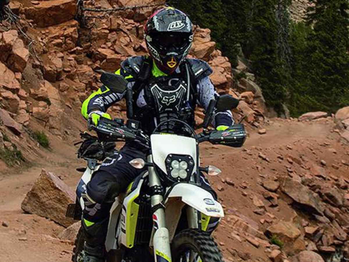
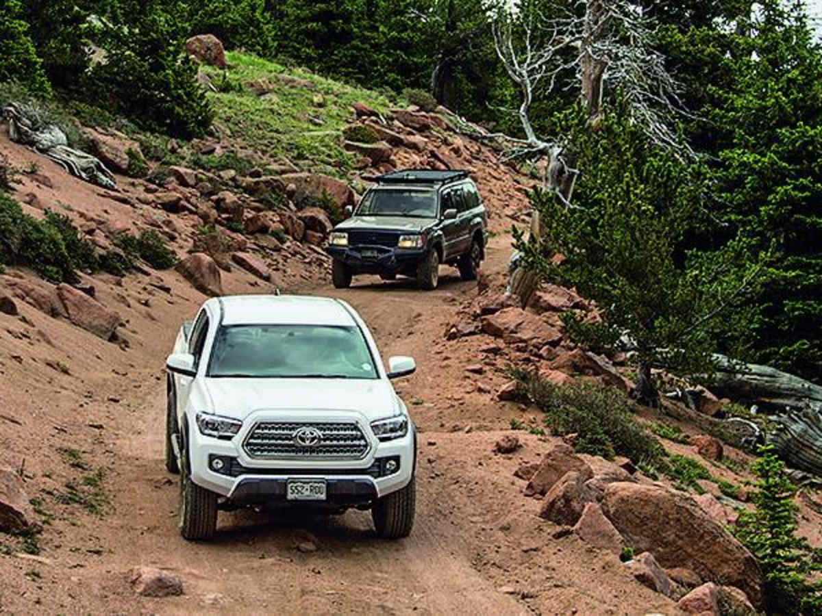
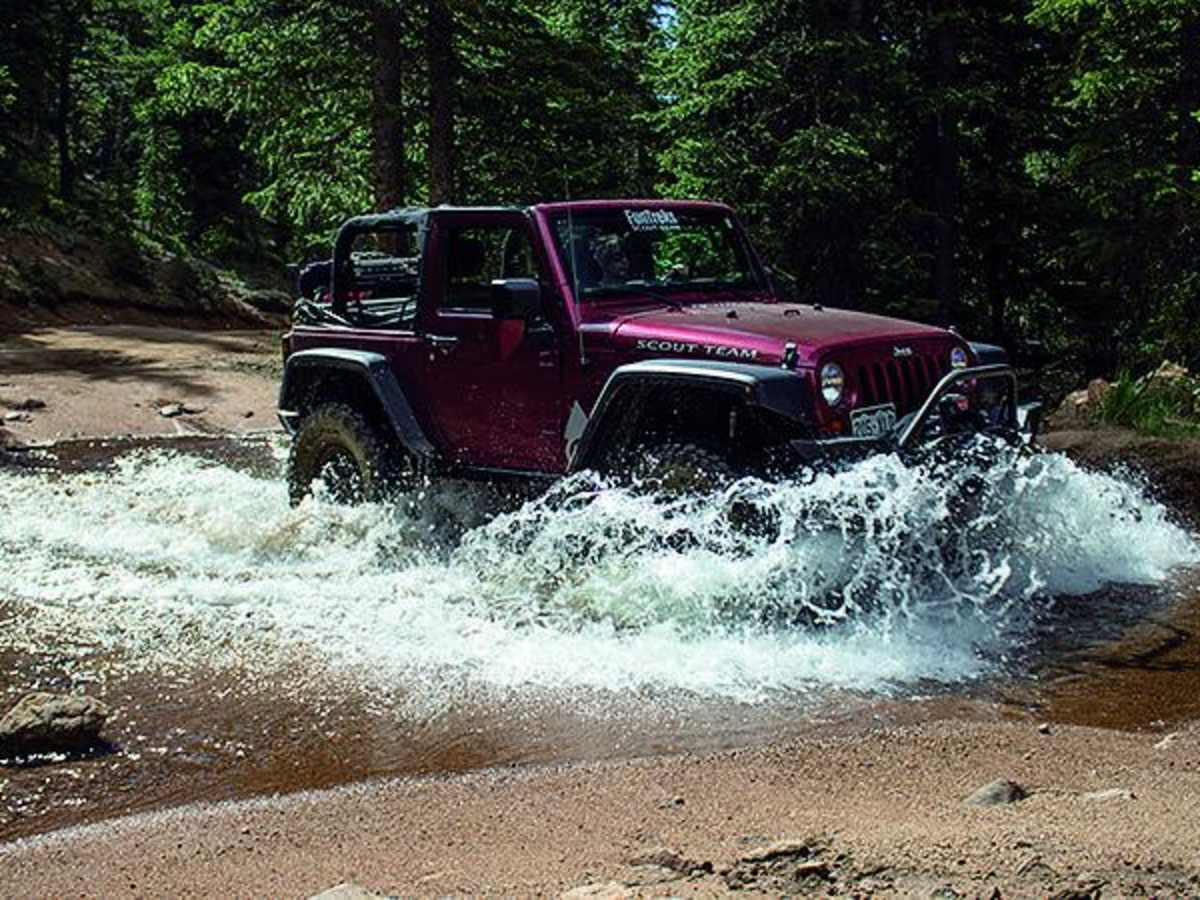
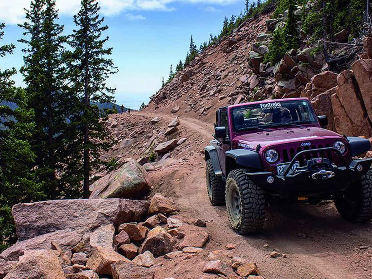
Photos of Mount Baldy

Difficulty

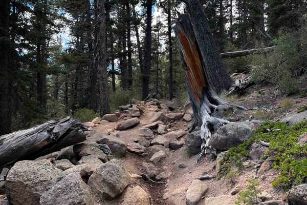
Easy. This road is used to service communication towers at the top of Mt. Baldy. It is usually maintained, but frequent rock slides along narrow ledge road 379A can make the road more difficult. If you run into a rock slide, you may have to back up a considerable distance to find a wide spot to turn around.

Technical Rating

3

Status Reports

Add Status Report
Lee Waters
Oct 11, 2025
2019 Jeep Cherokee
Open
A few years ago I did this tral in a stock ZJ. Now the trail looks nothing like it did then and I had to turn back just after the creek crossing. I'd give this trail a 5 or 6.
Hector Rodriguez
Oct 05, 2025
Open
Dusty
At the switch back at Frosty Rd it gets rough. I made it to the summit, but be careful a few spots up are tricky and dangerous. If I had read earlier trailer reports probably would not have made the trip. Doable, with experience. I saw two full size Dodge Rams go up on my way down. Not sure if they made. A Bronco just behind them. There is NO where to turn around until you get to the top. Depend if you get to the boulder and decided to get through you are best pushing through to the top to turn around. After the boulder you have two more spots to worry about one you’ll find both these vehicles off the side. The other is another a rocky shelf. I’m on 35 and 2.5” lift. Doable, yes. Be patient and take it easy.
Tim Clairmont
Sep 09, 2025
Open
About 0.75mi from the end there is a big boulder in the middle of the trail with another boulder to the right. If you are not super experienced and don’t have a spotter, this is a good place to reverse, park and hike the rest of the way up because not only is this obstacle very tricky to get around without a spotter, there are a couple more similar to it right after. If you don’t reverse and park there, it is VERY difficult to turn around after that boulder if you decide to abort the mission (ask me how I know)
Grant Vogel
Jun 22, 2025
Open
Normal
Only one section is very challenging possibly due to rock slides, towards the top of the trail there is 3-4 hill climbs with large rocks/boulders 1-3ft tall and not much room, doable with high clearance 4x4 or a bike.
T H
Jun 14, 2025
Obstructed
Great trail with awesome pull off points for pictures and views, towards the end of the trail on 379.A, the entire path was obstructed due to a rock slide. Would not recommend taking the trail until cleared unless you are skilled to crawl over 3ft -5ft rocks.
T C
May 03, 2025
Open
Snow/Ice
Harley Kremer
Mar 12, 2025
2022 Toyota Tacoma
Obstructed
Deep Snow
Attempted this tail as my first off-roading trip here in Colorado Springs. I didn't make it very far before hitting deep snow and having to turn around. It's still pretty fun, but I did end up getting stuck. https://www.youtube.com/watch?v=nIkZBxkcvU8
Abe w
Oct 08, 2024
Open
NormalDustyRough/Deteriorated
Majority of trail is not super technical, but the last section is pretty rocky (see screenshot) and would be difficult for inexperienced drivers. We talked to a couple guys who work on the towers up there and they said it’s been more challenging the last couple years. Would be easier in SxS than Jeep. All in all, it’s a fun trail with great views.
b mad
Sep 29, 2024
2018 Jeep Wrangler
Open
NormalDusty
Unfortunately not a lot of Aspen viewing. M/S Tires at 20psi. One spot i used lockers. Never scraped. Fully stock 2 door JK Rubicon.
Robert Whitman
Aug 25, 2024
Open
Rough/DeterioratedWashboard
Once you get towards the end it’s very rocky. Our Bronco on 35s had no problem nor the stock 4Runner in front of us but you will not make it in a Subaru.
ADAM RUSH
Jul 12, 2024
2023 Husqvarna FE350
Open
NormalDusty
Kevin G
Jun 24, 2024
2022 Jeep Gladiator
Open
Dusty
Brent Ellison
Jun 23, 2024
2024 Jeep Wrangler
Open
Dusty
Our first jeep trail. Trail is easily passable in high clearance vehicle. Ours is 4 door Rubicon X with 35’s. Last section (379A) was the most aggressive for us as new jeepers and we had to make passing room on that section on our way out which was the sketchiest challenge we had on the trail but we loved this trail!
Mathew Brittain
Jun 16, 2024
Open
not obstructed. Bring shovel for patches of ice
Jacob Bercel
May 08, 2024
Obstructed
Downed Tree
Downed birch tree (probably from high winds) About 6 inches in diameter, spanning entire width of trail, about 4-5 feet off the ground. Did not have clearing equipment, was forced to turn around.

Mount Baldy Trail can be accessed by the following ride types:

  • Single Track
  • 50 Inch
  • 60 Inch
  • High Clearance
  • Full Width

Access Description

The trail is located within the Pike National Forest and is subject to seasonal closures. It is typically open from mid-to-late June through November, depending on snowpack levels. No fees or permits are required to drive the route, but all vehicles must be street-legal or display a valid Colorado OHV registration decal.

Mount Baldy Map

The onX Offroad Difference

onX Offroad combines trail photos, descriptions, difficulty ratings, width restrictions, seasonality, and more in a user-friendly interface. Available on all devices, with offline access and full compatibility with CarPlay and Android Auto. Discover what you're missing today!

Open Trail Map