
Off-Road Trails
Near Adrian, West Virginia
Off-Road Trails Near Adrian, West Virginia
Discover the best offroad trails near you. Browse trail maps, check difficulty ratings, and find your next adventure — whether you're looking for a quick ride or an all-day expedition.
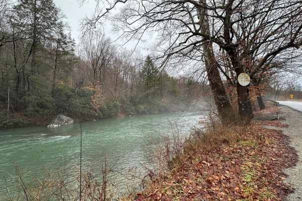
Beans Mill
Start this route in Buckhannon by taking WV-20 south to Sago Road for 5 miles. This section is paved but scenic, running alongside the emerald-hued Buckhannon River. The road transitions to dirt and gravel. At Big Bend Church (38.88129, -80.21359), take the road perpendicular to the parking lot call...
Learn more about Beans Mill
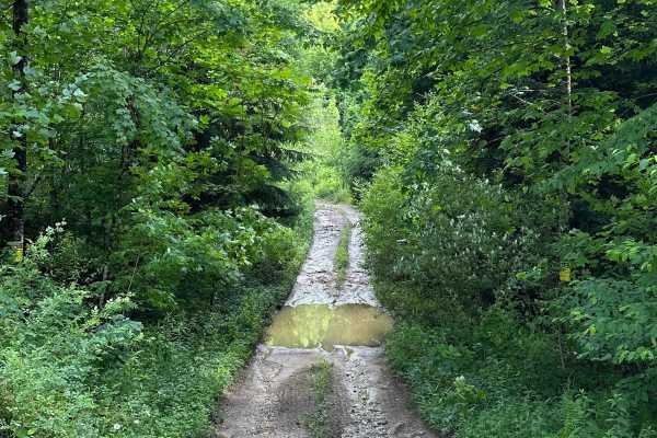
Long Run
This trail can be run in either direction, but this description starts from the north end at the following coordinates: 38.91771, -80.08878. There’s Civil War battle history regarding the bridge that crossed the Middle Fork River in 1861. Please note that this track combines several country roads ad...
Learn more about Long Run
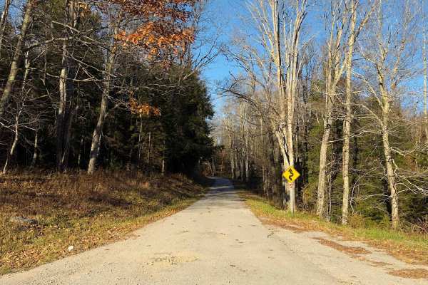
Cheat Mountain Road - FS 92
Cheat Mountain Trail 92 is a remote forest route suited for experienced drivers seeking a rugged 4x4 trail in Monongahela National Forest. Located in the Cheat Mountain area of the Greenbrier Ranger District in Randolph County, this designated motorized route follows a native surface of dirt, rock, ...
Learn more about Cheat Mountain Road - FS 92
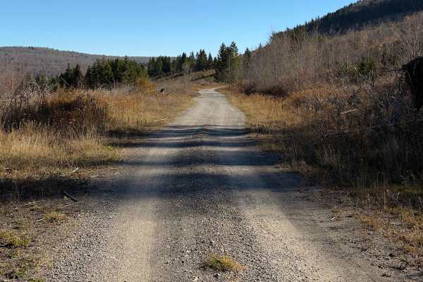
Lesser Pond - FS 227B
Lesser Pond - FS 227B is a 1.6-mile Forest Service road located in the Mower Basin area of West Virginia's Monongahela National Forest. This short, scenic route follows a well-maintained dirt and gravel surface through a landscape of open meadows, young forest growth, and stands of spruce. Unlike ma...
Learn more about Lesser Pond - FS 227B

Old Mine
This is a maintained gravel Forest Service route that travels from the Cheat Bridge area to US 250. This section was once a large strip. It passes along the Cheat River and then up in elevation with scenic views. The road is mostly maintained gravel with some mud and rocky areas. Several sediment po...
Learn more about Old Mine
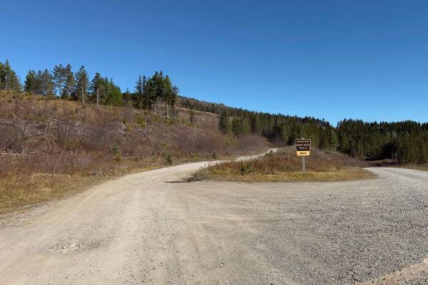
Reigle Overlook - FS 227C
Reigle Overlook - FS 227C is a scenic 1.5-mile dirt and gravel forest road within the Mower Basin area of West Virginia's Monongahela National Forest. The maintained road winds through a distinctive high-elevation landscape of open meadows, regenerating hardwoods, and stands of red spruce, with expa...
Learn more about Reigle Overlook - FS 227C
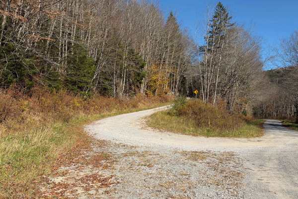
Hearth's Hill - FS 233A
Hearth's Hill - FS 233A is a 3.8-mile, single-lane forest road in West Virginia's Monongahela National Forest, offering a more rugged driving experience than many of the maintained gravel roads in the surrounding area. The route travels through a mixture of hardwood forest, evergreens, and open area...
Learn more about Hearth's Hill - FS 233A
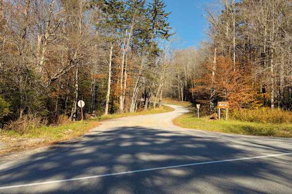
Gaudineer - FS 27
Gaudineer - FS 27 is a 7.7-mile forest road in the Greenbrier Ranger District of West Virginia's Monongahela National Forest. This scenic route follows a maintained, single-lane gravel road through the wooded slopes of Cheat Mountain, reaching elevations of approximately 4,300 feet. The drive passes...
Learn more about Gaudineer - FS 27
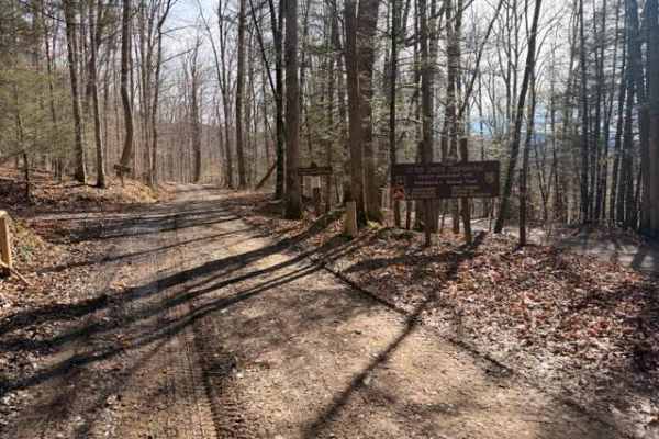
Sugar Camp
A dirt/gravel track with mild elevation gain, no real obstacles. Pay attention to logging, private property signs, etc. With the recent snow and rain, there was a decent amount of mud. This is a good trail for anyone testing out the River Road trail and wanting to mix it up. Additionally, it leads t...
Learn more about Sugar Camp
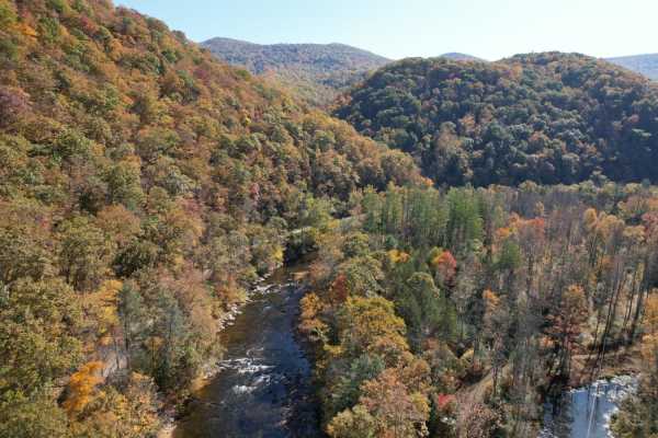
Parsons to Stone Lake Run
Parsons to Stone Lake Run is an easy, scenic gravel route ideal for beginners, overland travelers, and scenic drivers looking to experience the lush forests and river valleys of West Virginia. Spanning approximately 4.3 miles, this trail runs from the town of Parsons toward Stone Lake Run, ultimatel...
Learn more about Parsons to Stone Lake Run
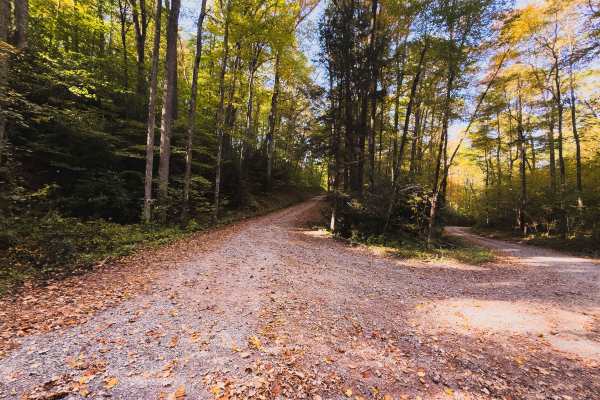
Fork Mountain - FS 709
Fork Mountain - FS 709 is a 3.3-mile gravel forest road located within the Fernow Experimental Forest in West Virginia's Monongahela National Forest. The road follows a scenic ridgeline through a mixture of mature hardwoods and younger forest growth, offering a peaceful drive beneath the canopy. The...
Learn more about Fork Mountain - FS 709
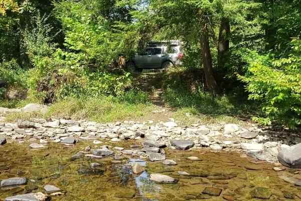
River Road
A county dirt track running primarily along the Shavers Fork River in Randolph and Tucker counties. The majority of the track lies in Monongahela NF. Careful attention should be paid to private property boundaries along the river. The track is a mix of gravel and dirt easily traversed by most vehicl...
Learn more about River Road
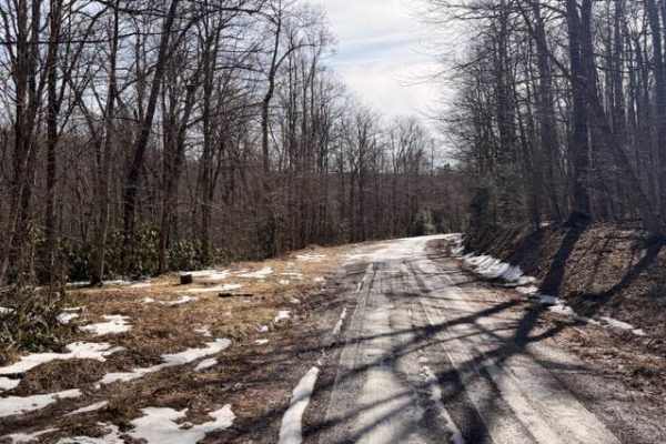
McGowen Mountain
This out-and-back trail is mostly gravel with some dirt mixed in at times. With the recent snow and ice was a beautiful drive. There are good views of the surrounding mountains and the windmills. Very relaxed ride which works well for those who want to take it easy, enjoy the view, and hit the hikin...
Learn more about McGowen Mountain
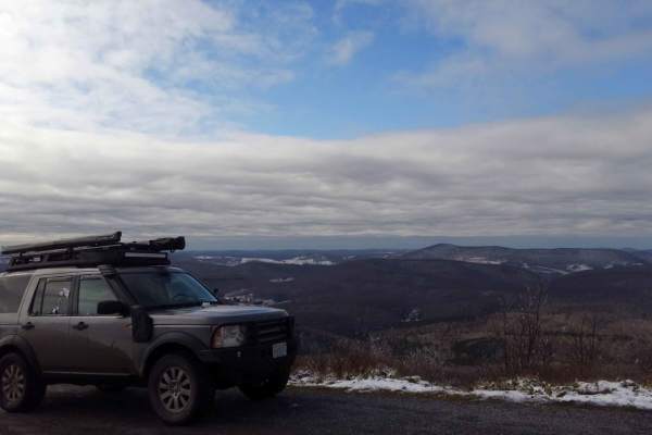
Osceola Spruce Knob
The route travels primarily through Monongahela National Forest on maintained Forest Service gravel roads. A section of the route passes through private land and rolling farmland on gravel road. The ascent from the FSR to the summit at Spruce Knob is fully paved. Spruce Knob is the highest point in ...
Learn more about Osceola Spruce Knob
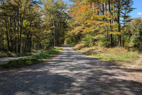
Laurel Fork Overlook
Starting at Laurel Fork Campground, the route heads north along gravel roads, passing scenic areas and wildlife habitats. The trail proceeds toward the Laurel Fork Overlook, which provides stunning panoramic views of the surrounding wilderness. Continuing along the gravel roads, hikers or travelers ...
Learn more about Laurel Fork Overlook
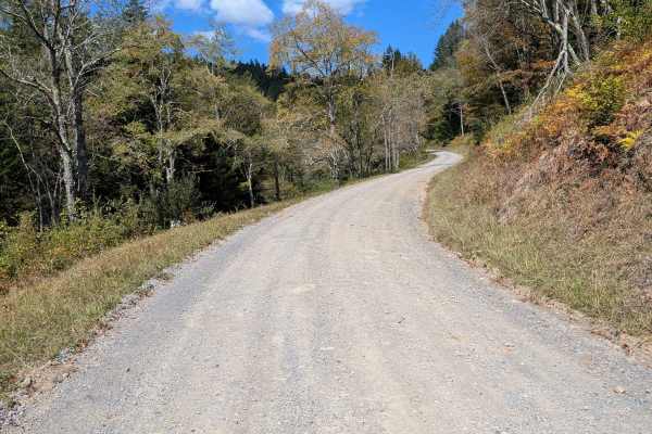
Little River Connector
The Little River Connector links the Elkins Road to River Road, bypassing Forest Service roads closed in summer. Just a 15-minute drive, it provides direct vehicle access to the southern border of Laurel Fork. This short route ensures reliable seasonal access when other roads are restricted, improvi...
Learn more about Little River Connector
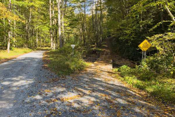
Hickman Slide - FS 704
Hickman Slide - FS 704 is a scenic 2.5-mile gravel forest road located within the Fernow Experimental Forest in West Virginia's Monongahela National Forest. Accessible from Elklick Run - FS 701, the route begins by crossing a low-water bridge before climbing steadily into the surrounding hardwood fo...
Learn more about Hickman Slide - FS 704
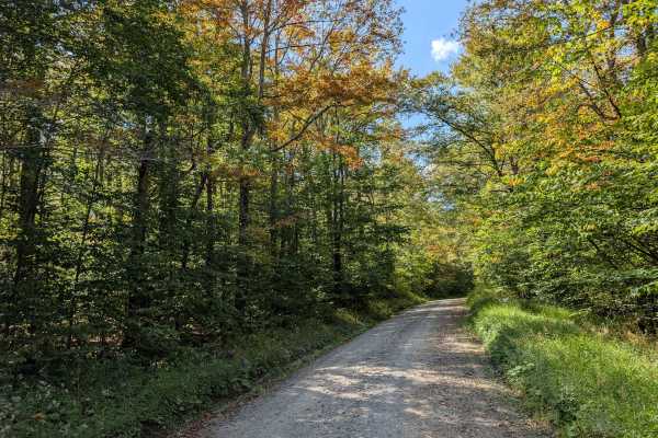
Middle Mountain
The Middle Mountain Trail provides a scenic and relatively easy route connecting the southern border of the Laurel Fork Wilderness to the intersection with Forest Road 17. Along the trail, travelers pass through several lush, forested areas, offering a peaceful, nature-rich experience. The trail's g...
Learn more about Middle Mountain

Glady Durbin
Glady Durbin is a scenic access road that runs right along the West Fork Greenbriar River and offers stunning picnic, fishing, and camping opportunities along the trail. This trail connects the towns of Durbin and Glady, West Virginia. From the start of the trail, there is no gas station for about 4...
Learn more about Glady Durbin
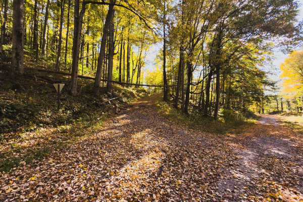
Bear Run - FS 707
Bear Run - FS 707 is a 2-mile forest road within the Fernow Experimental Forest in West Virginia's Monongahela National Forest. Connecting Hickman Slide - FS 704 and Elklick Run - FS 701, Bear Run offers an alternative route that can be incorporated into a scenic loop through the forest. Compared to...
Learn more about Bear Run - FS 707
ATV trails near Adrian, West Virginia
Explore ATV-friendly trails near you. These trails are accessible for vehicles up to 50 inches wide, perfect for ATVs and smaller off-road machines.
Beans Mill
Start this route in Buckhannon by taking WV-20 south to Sago Road for 5 miles. This section is paved but scenic, running alongside the emerald-hued Buckhannon River. The road transitions to dirt and gravel. At Big Bend Church (38.88129, -80.21359), take the road perpendicular to the parking lot call...
Learn more about Beans Mill
Long Run
This trail can be run in either direction, but this description starts from the north end at the following coordinates: 38.91771, -80.08878. There’s Civil War battle history regarding the bridge that crossed the Middle Fork River in 1861. Please note that this track combines several country roads ad...
Learn more about Long Run
Sugar Camp
A dirt/gravel track with mild elevation gain, no real obstacles. Pay attention to logging, private property signs, etc. With the recent snow and rain, there was a decent amount of mud. This is a good trail for anyone testing out the River Road trail and wanting to mix it up. Additionally, it leads t...
Learn more about Sugar Camp
McGowen Mountain
This out-and-back trail is mostly gravel with some dirt mixed in at times. With the recent snow and ice was a beautiful drive. There are good views of the surrounding mountains and the windmills. Very relaxed ride which works well for those who want to take it easy, enjoy the view, and hit the hikin...
Learn more about McGowen Mountain
UTV/side-by-side trails near Adrian, West Virginia
Find UTV and side-by-side trails near you. These trails accommodate vehicles up to 60 inches wide, ideal for UTVs, side-by-sides, and wider off-road rigs.
Beans Mill
Start this route in Buckhannon by taking WV-20 south to Sago Road for 5 miles. This section is paved but scenic, running alongside the emerald-hued Buckhannon River. The road transitions to dirt and gravel. At Big Bend Church (38.88129, -80.21359), take the road perpendicular to the parking lot call...
Learn more about Beans Mill
Long Run
This trail can be run in either direction, but this description starts from the north end at the following coordinates: 38.91771, -80.08878. There’s Civil War battle history regarding the bridge that crossed the Middle Fork River in 1861. Please note that this track combines several country roads ad...
Learn more about Long Run
Sugar Camp
A dirt/gravel track with mild elevation gain, no real obstacles. Pay attention to logging, private property signs, etc. With the recent snow and rain, there was a decent amount of mud. This is a good trail for anyone testing out the River Road trail and wanting to mix it up. Additionally, it leads t...
Learn more about Sugar Camp
Parsons to Stone Lake Run
Parsons to Stone Lake Run is an easy, scenic gravel route ideal for beginners, overland travelers, and scenic drivers looking to experience the lush forests and river valleys of West Virginia. Spanning approximately 4.3 miles, this trail runs from the town of Parsons toward Stone Lake Run, ultimatel...
Learn more about Parsons to Stone Lake Run
The onX Offroad Difference
onX Offroad combines trail photos, descriptions, difficulty ratings, width restrictions, seasonality, and more in a user-friendly interface. Available on all devices, with offline access and full compatibility with CarPlay and Android Auto. Discover what you're missing today!
Open Trail Map