Lesser Pond - FS 227B

Total Miles1.6
Technical Rating
1Easy
Best TimeSpring, Summer, Fall, Winter
Trail TypeFull-Width Road
Accessible By
Open Trail Map

Trail Overview

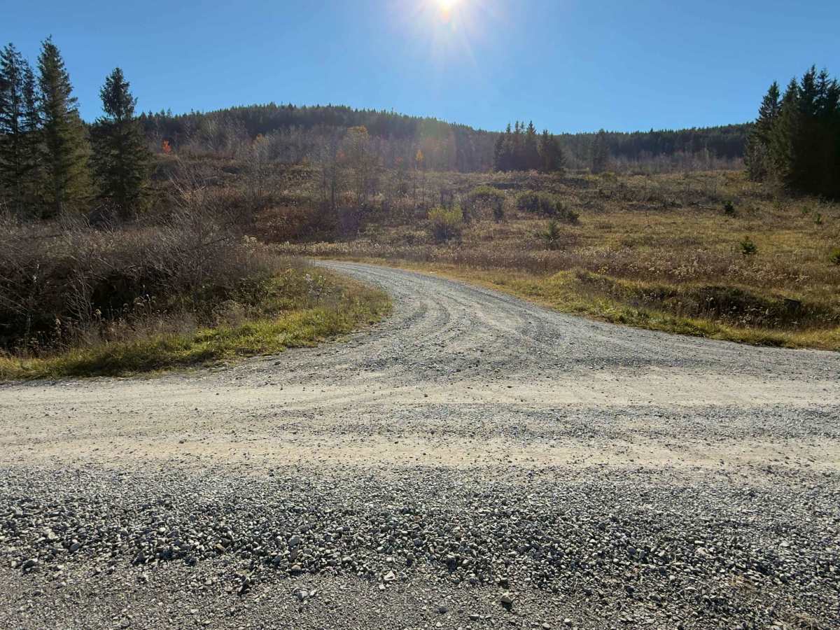
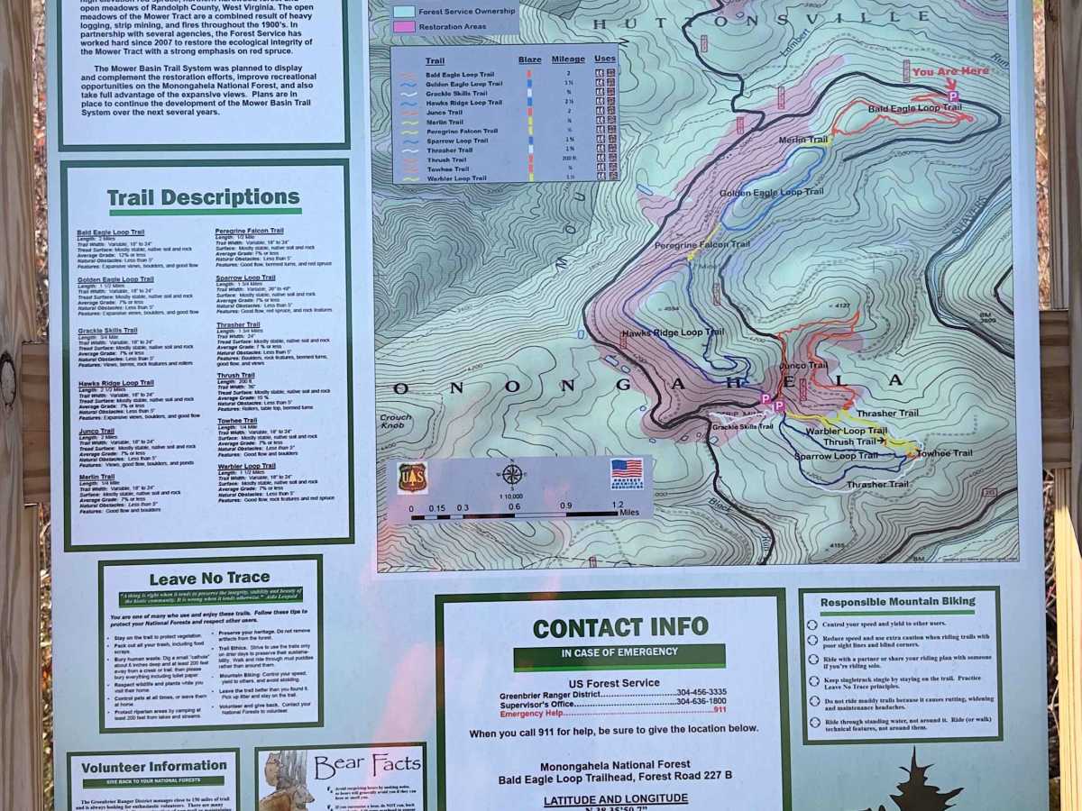
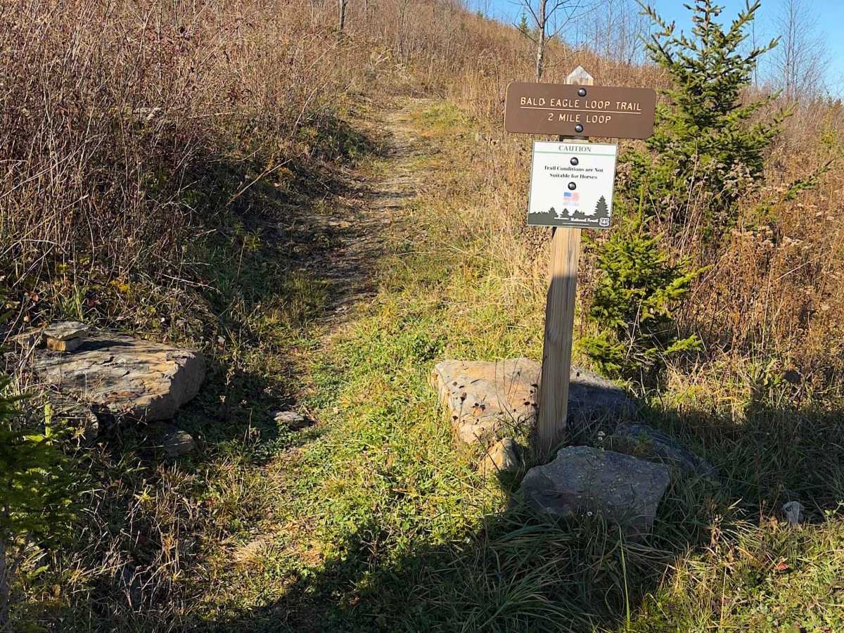
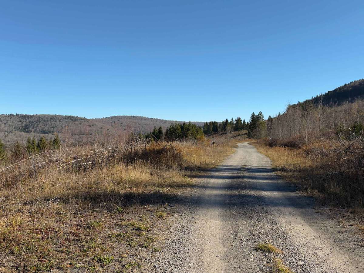
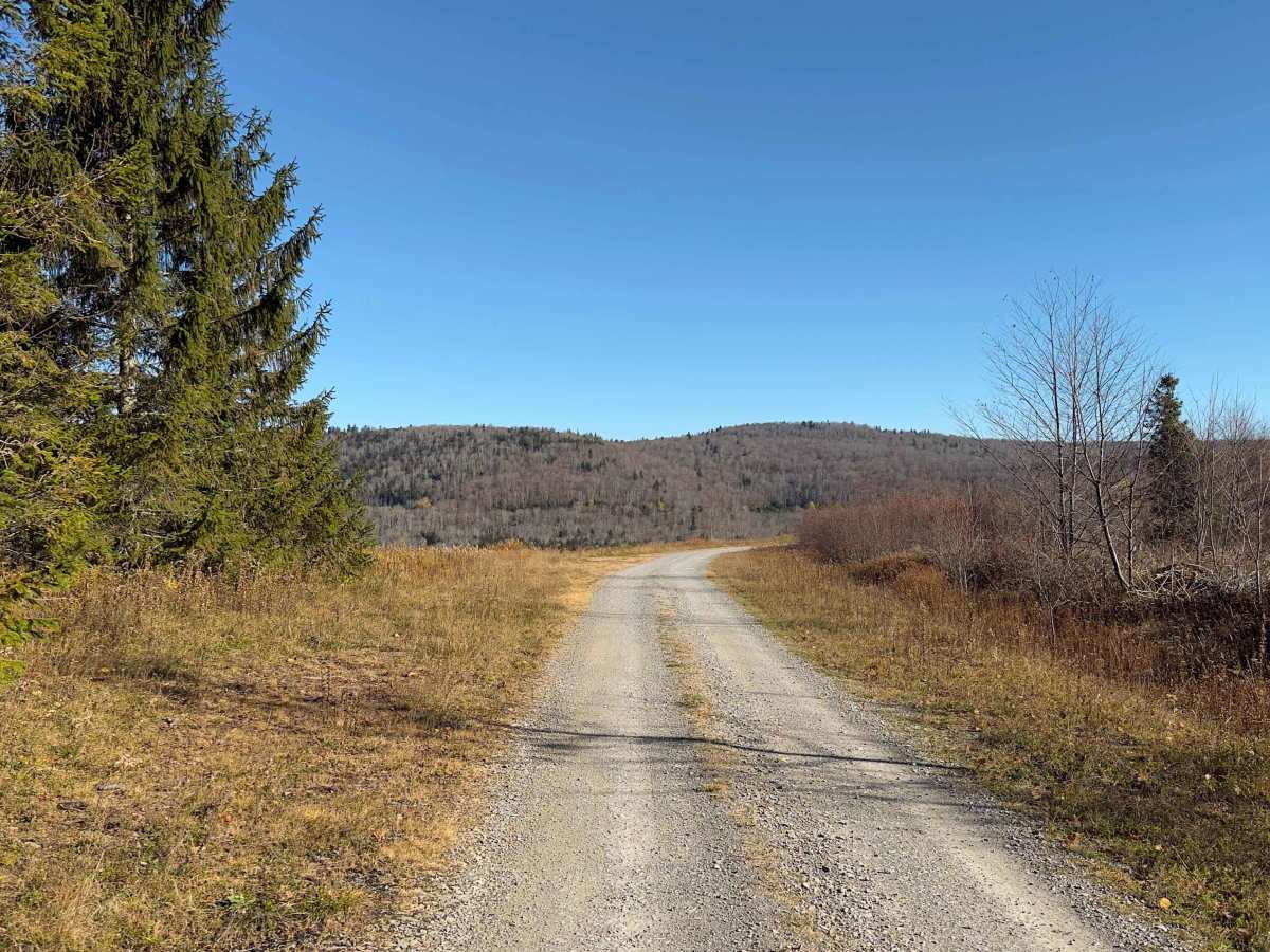
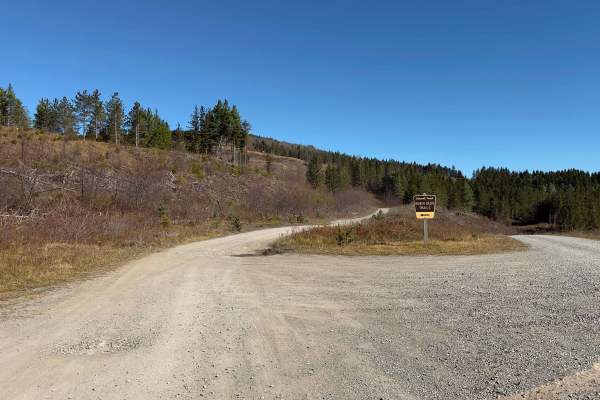
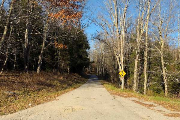
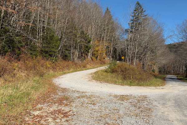
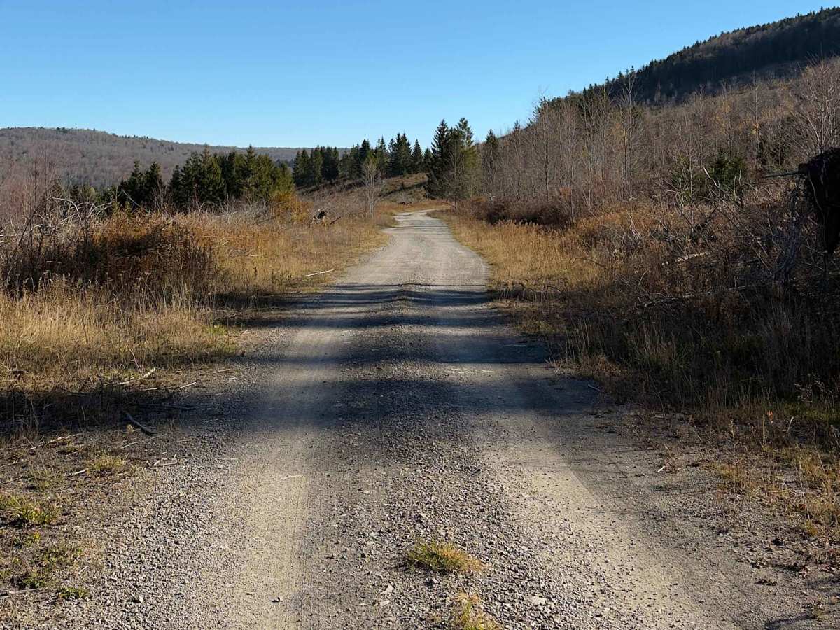
Lesser Pond - FS 227B is a 1.6-mile Forest Service road located in the Mower Basin area of West Virginia's Monongahela National Forest. This short, scenic route follows a well-maintained dirt and gravel surface through a landscape of open meadows, young forest growth, and stands of spruce. Unlike many of the heavily wooded roads in the region, portions of Lesser Pond offer expansive views across the surrounding mountains and the forested Lambert Run drainage. The road features gentle curves, gradual elevation changes, and occasional potholes but no significant technical obstacles. The surrounding landscape reflects the area's ongoing forest restoration efforts, making this an especially interesting destination for nature enthusiasts. Along the route, visitors will find campsite #10 and access to the northern trailhead of the Bald Eagle Loop, part of the Mower Basin mountain biking trail system. The road ends without connecting to another route, requiring drivers to return the way they came.

Photos of Lesser Pond - FS 227B

Difficulty

Rated 1/10, Lesser Pond is an easy, maintained dirt and gravel road with gentle grades, occasional potholes, and no significant technical obstacles. The route is suitable for stock vehicles under normal conditions.

Technical Rating

1

Lesser Pond - FS 227B Trail can be accessed by the following ride types:

  • High Clearance
  • Full Width

Lesser Pond - FS 227B Map

The onX Offroad Difference

onX Offroad combines trail photos, descriptions, difficulty ratings, width restrictions, seasonality, and more in a user-friendly interface. Available on all devices, with offline access and full compatibility with CarPlay and Android Auto. Discover what you're missing today!

Open Trail Map