Trail Overview
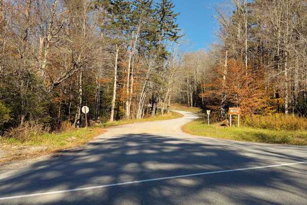
Cheat Mountain Trail 92 is a remote forest route suited for experienced drivers seeking a rugged 4x4 trail in Monongahela National Forest. Located in the Cheat Mountain area of the Greenbrier Ranger District in Randolph County, this designated motorized route follows a native surface of dirt, rock, and mud typical of Appalachian mountain terrain. Conditions can become slick and rutted after rain, and the trail includes narrow sections, uneven tread, and moderate grades that require careful vehicle placement and good traction. Trail 92 is identified on the district Motor Vehicle Use Map and is open only to highway-legal vehicles operating in accordance with Forest Service travel regulations.
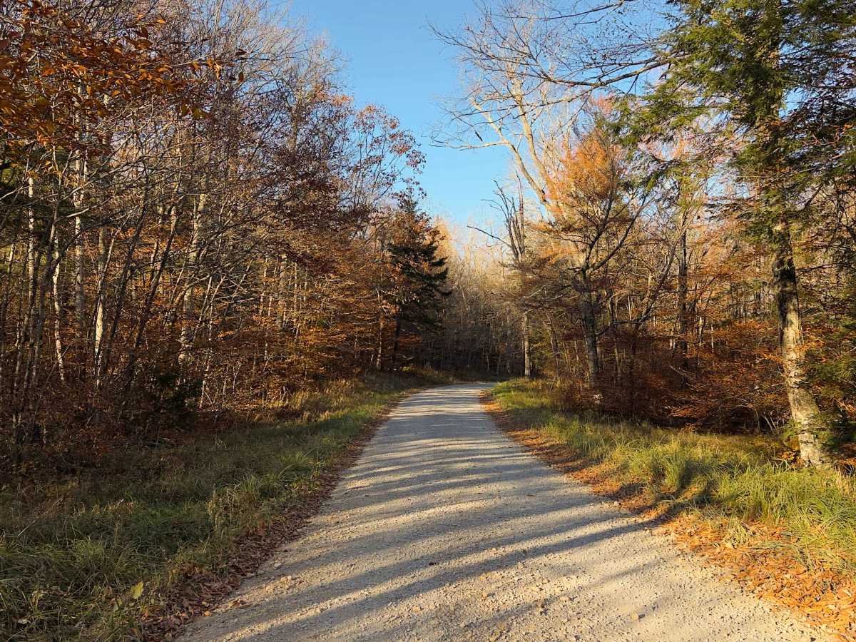
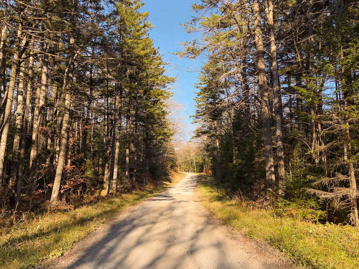
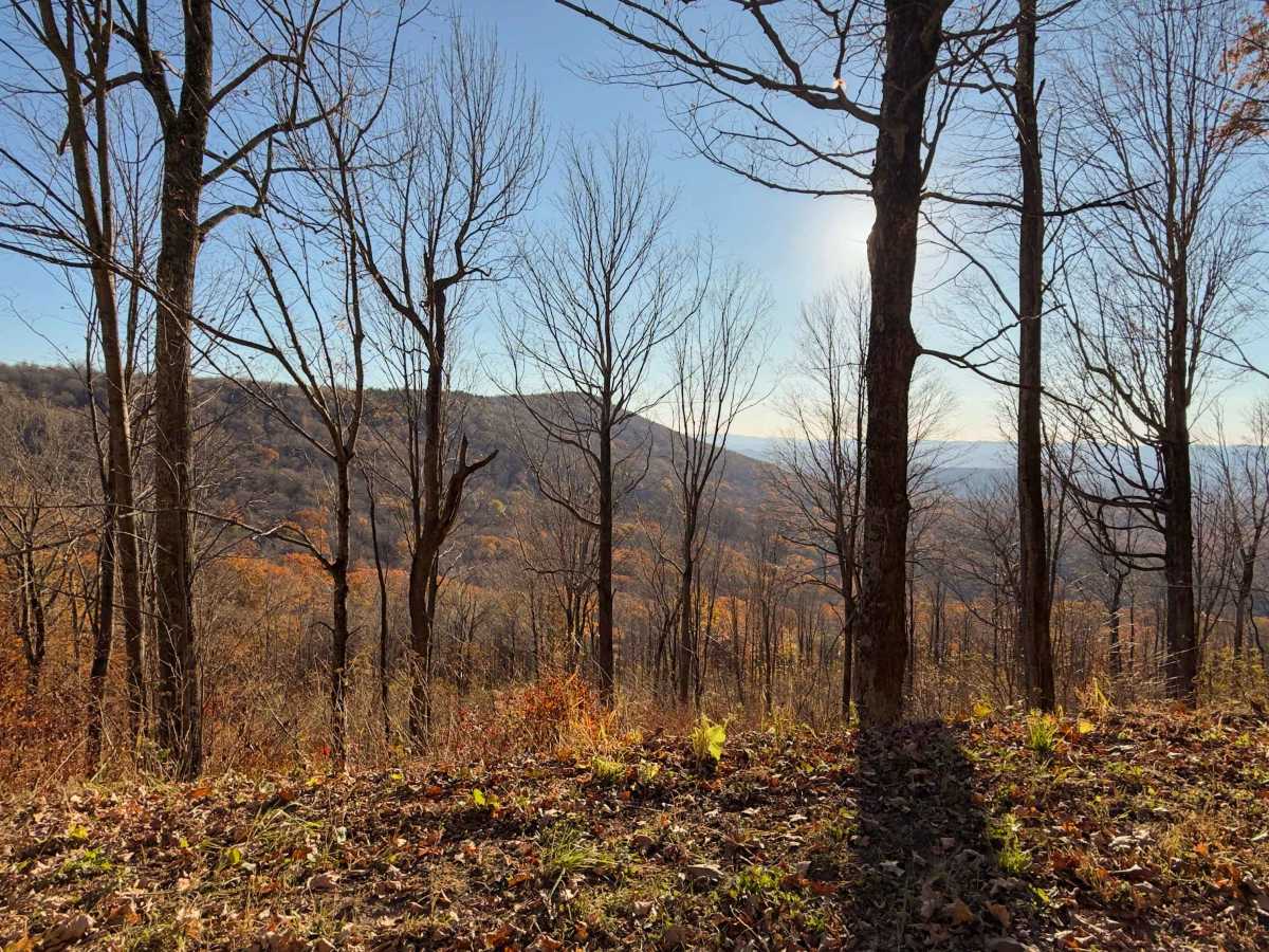
The trail winds through dense hardwood forest along the slopes of Cheat Mountain, where rocky segments and muddy depressions are common depending on weather conditions. Although the MVUM lists no seasonal restriction and the route is generally considered open year-round, temporary closures can occur due to storm damage, maintenance, or resource protection needs. The area is remote with limited turnaround options and minimal services, so drivers should be prepared for obstacles such as fallen trees, washouts, and changing trail conditions while traveling through this section of the Greenbrier Ranger District.
Difficulty
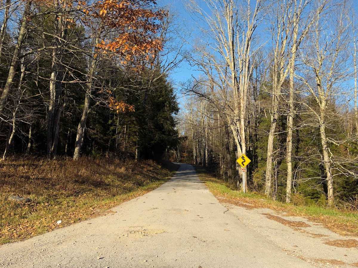
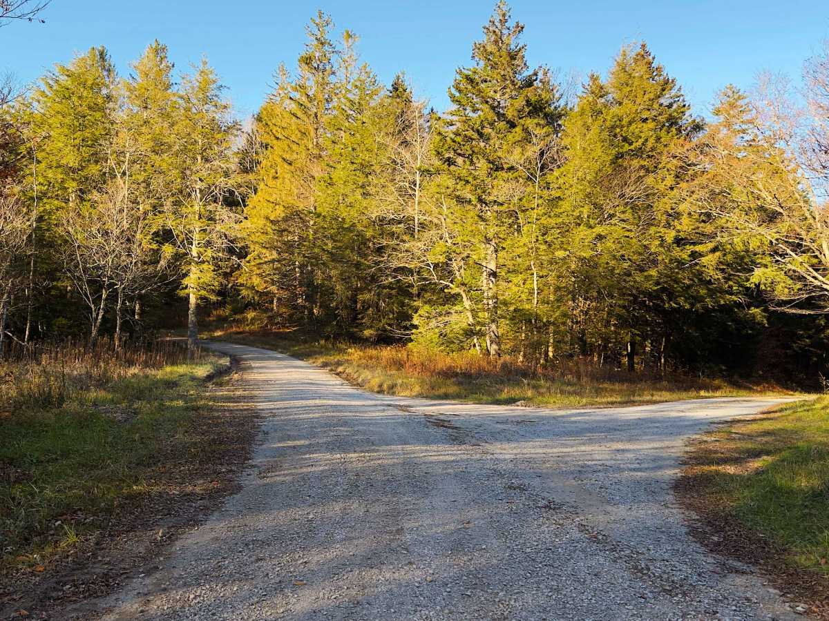
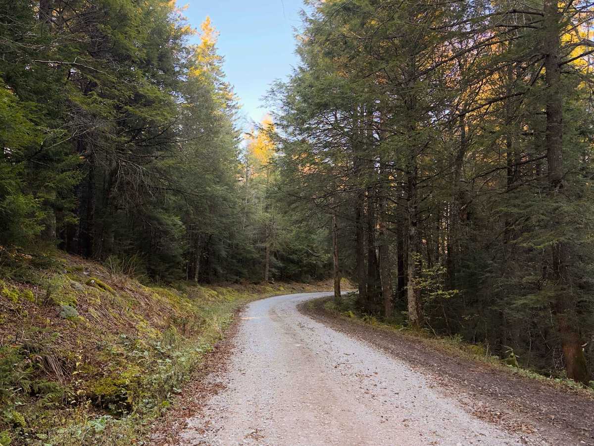
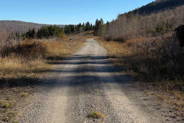
Rated 2/10, FS 92 consists primarily of maintained gravel and dirt surfaces with minimal technical obstacles. However, the northern section features steep grades, sharp switchbacks, and rougher road conditions. When traveling south, the sustained climb and tight turns can present traction challenges for two-wheel-drive vehicles, especially during wet weather. 4WD or AWD is recommended for improved traction, control, and safety.


 Offroad