Trail Overview
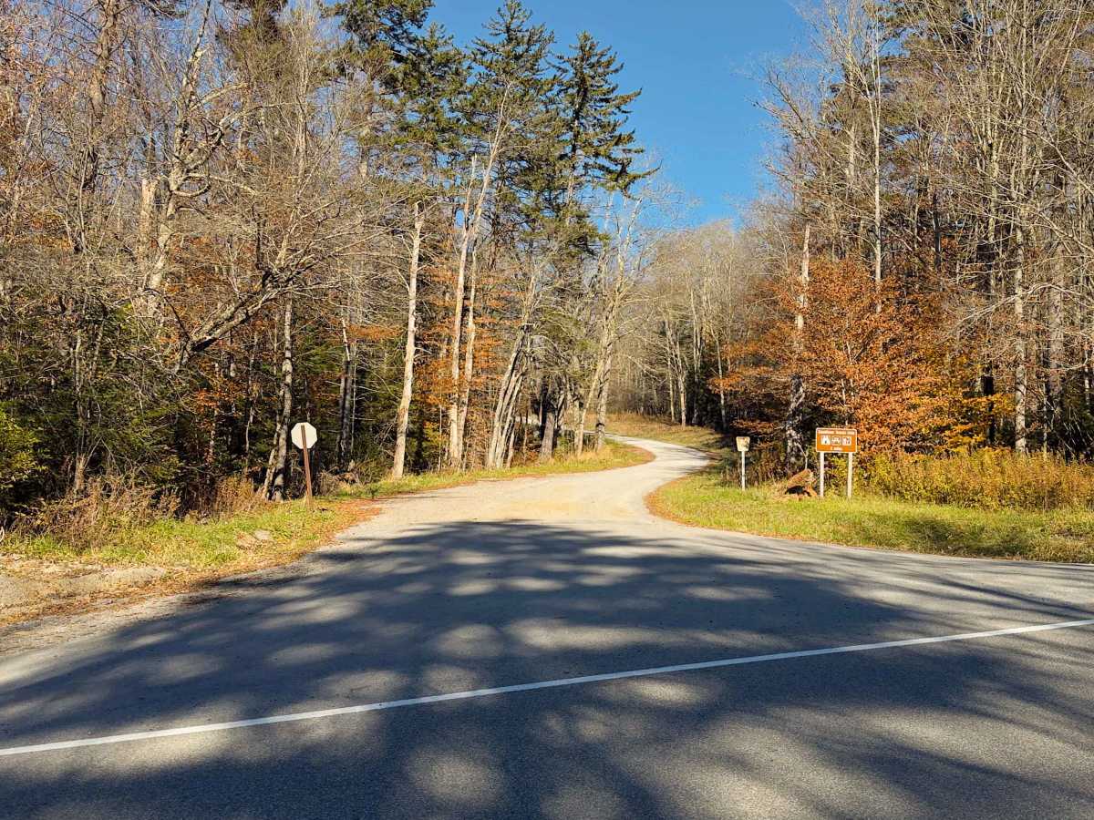
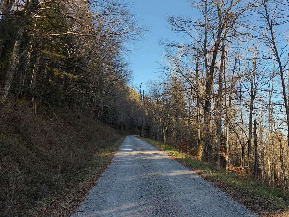
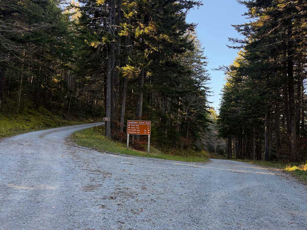
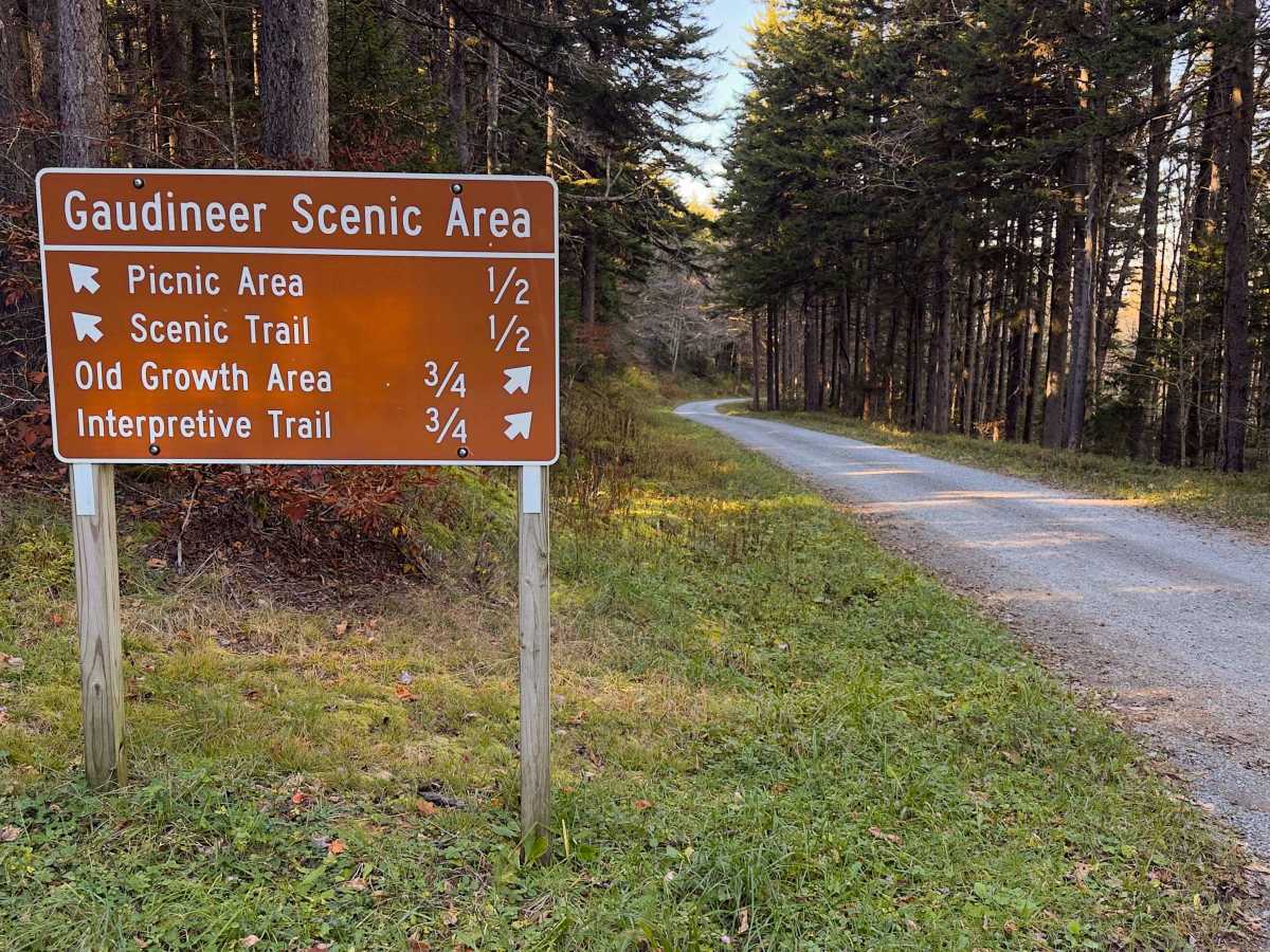
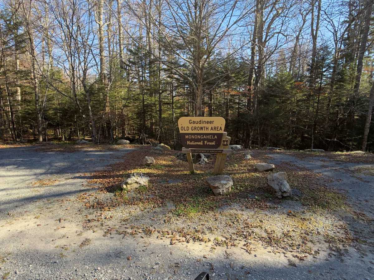
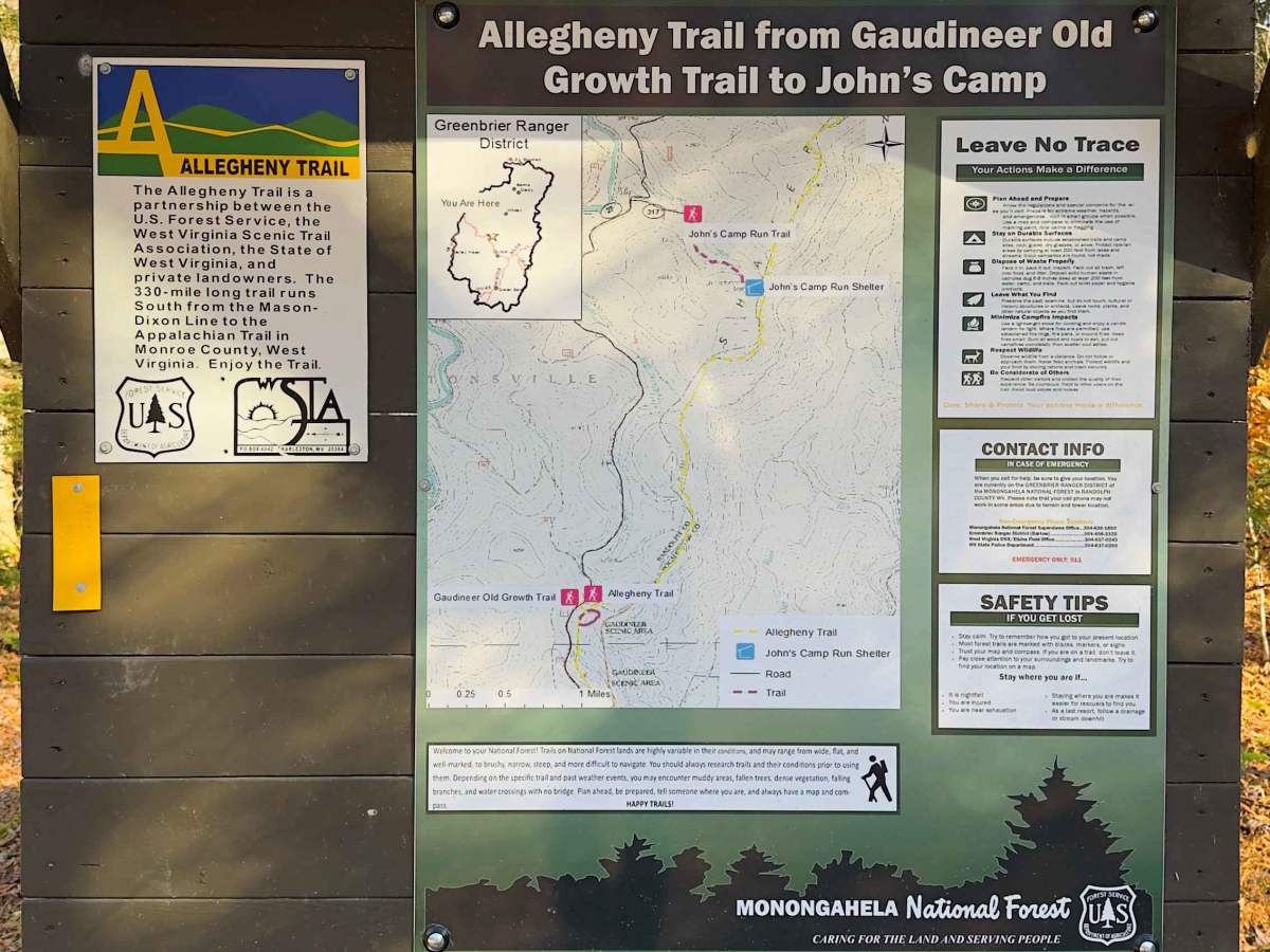
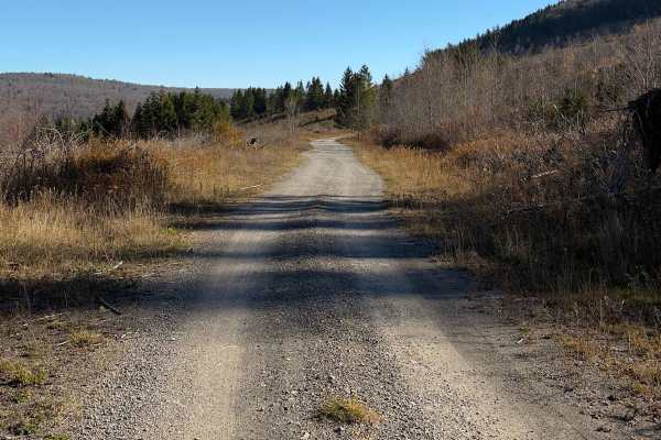
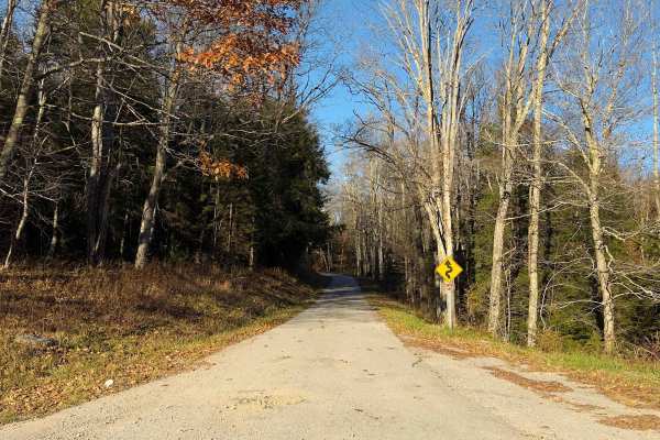
Gaudineer - FS 27 is a 7.7-mile forest road in the Greenbrier Ranger District of West Virginia's Monongahela National Forest. This scenic route follows a maintained, single-lane gravel road through the wooded slopes of Cheat Mountain, reaching elevations of approximately 4,300 feet. The drive passes through a beautiful mixture of mature hardwoods and evergreens, with gently rolling terrain, winding curves, and occasional glimpses into the surrounding mountains. The Gaudineer Scenic Area protects a remarkable stand of old-growth forest and provides opportunities to explore the area on foot. Farther along the route, visitors can access sections of John's Camp Run and Glade Run, where special trout-fishing regulations apply. FSR 27 also provides access to the Allegheny Trail and surrounding backcountry hiking opportunities. With its generally smooth gravel surface and lack of significant obstacles, Gaudineer is an enjoyable, easygoing forest drive. The road eventually dead-ends near Shavers Fork (closed gate and rock barrier), requiring visitors to turn around and return along the same route.
Difficulty
Rated 1/10, FS 27 is a maintained gravel road with gentle elevation changes and no significant technical obstacles. Its narrow width and winding mountain terrain require normal caution, but the route should be manageable for most passenger vehicles in favorable conditions.