
Dirt Bike Trails
Near Woods Landing-Jelm, Wyoming
Explore All Dirt Bike Trails Near Woods Landing-Jelm, Wyoming
Dirt Bike Trails Near Woods Landing-Jelm, Wyoming
Discover the best dirt bike trails near you. Browse trail maps, check difficulty ratings, and find your next adventure — whether you're looking for a quick ride or an all-day expedition.
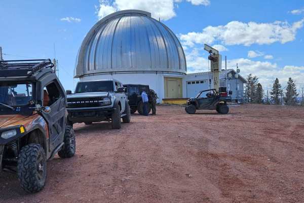
Jelm Mountain
This is a well-maintained road that climbs to a stunning 10,000 feet. The views on the way up are breathtaking. Once at the top, you will find the U.W. Infrared Telescope Observatory, as well as amazing 360-degree views of the valleys and mountains below. There are multiple dispersed camping sites a...
Learn more about Jelm Mountain
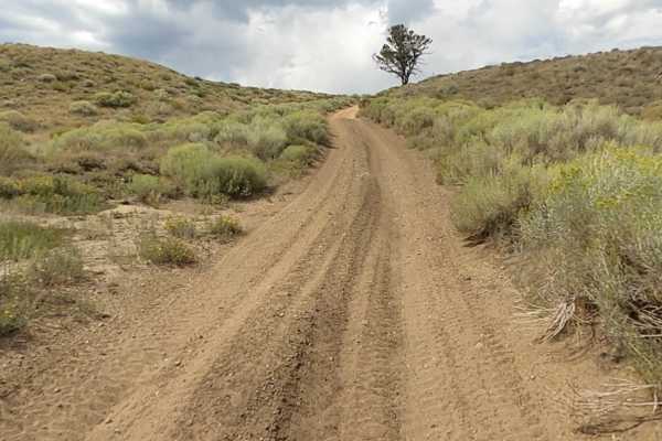
Squaw Ridge Road
Heading from Fox Road (County Road 47), you'll come to the Squaw Ridge Road Trailhead, which is also known as Forest Service Road 311.A. This trail starts off with deep sand ruts, which will get you off camber pretty quickly on the ascent to the top. Once you pass the initial loose sand, the terrain...
Learn more about Squaw Ridge Road
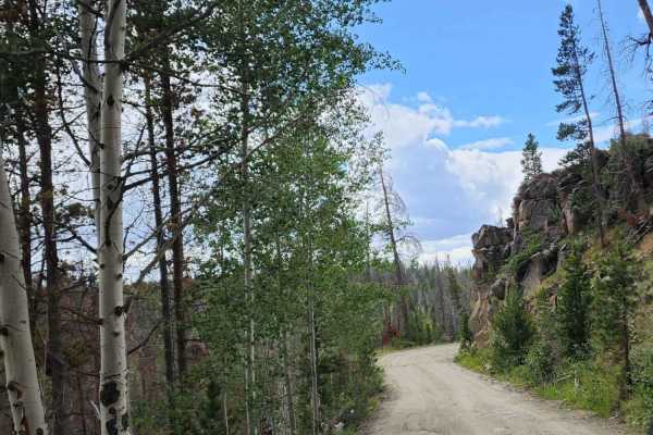
Keystone
Beautiful road with amazing views and tall trees. There isn't much for camping, maybe a spot or two, but it is a quick simple enjoyable road to take a drive on. This road takes you into the small town of Keystone; please drive slowly! Dirt or rocky road with gentle grades. Safe for most 4WD and high...
Learn more about Keystone

Valley Trail
This is a 50-inch trail. It starts high on the mountain running through tight trees. Once at the top, you drop down into a beautiful valley that offers views of a snowy range that cannot be seen any other way. There is a large rock field to crawl over on your way down into the valley. Once at the bo...
Learn more about Valley Trail
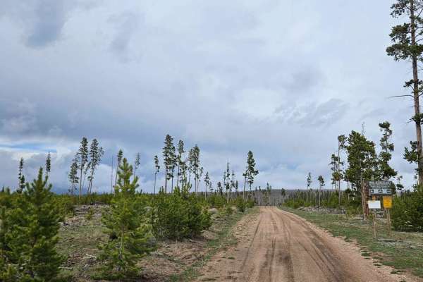
FS 501 MTN HOME
The trail starts at Mountain Home, where there is a large parking lot to unload if you are riding an ATV or SXS. The trail begins fairly easily and has multiple places for dispersed camping. Multiple large water crossings can be deep in the spring or after a good rain. Parts of the trail cross throu...
Learn more about FS 501 MTN HOME
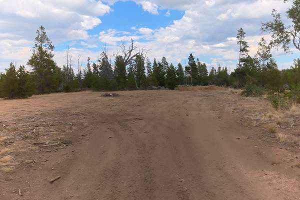
FS 516D
This short trail branches off FS 516 and travels into a forested area surrounded by trees.
The trail is mostly dirt with little to no rocks and has 5–6-inch ruts. At the end of the trail, there is a large, private campsite with extremely level ground, a fire ring, and enough space for up to 20 vehic...
Learn more about FS 516D
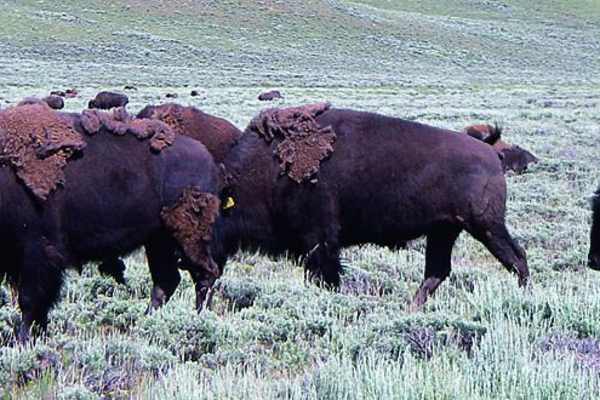
Back Way to North Sand Hills
Avoid the paved road to Walden on this fun back way to North Sand Hills. There are camping sites along the trail, and a good number of side roads to play on. The Old Roach Area is part of the Roosevelt National Forest and is open year-round.
Learn more about Back Way to North Sand Hills
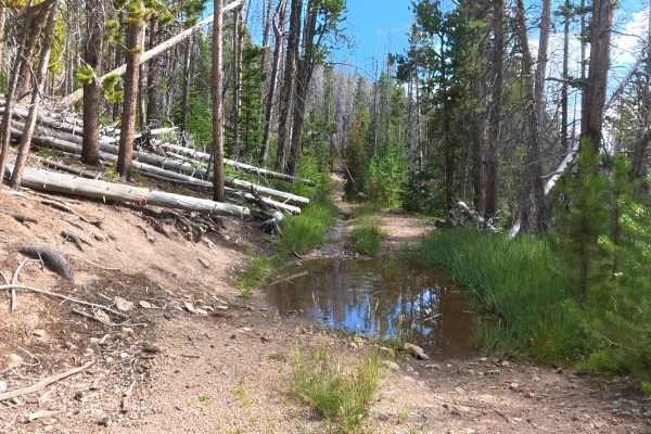
Grace Creek Road - FS 143
This trail begins off the North Sandhills backway and starts as a wider, maintained route with a gravel and dirt surface. Early sections have 5–8-inch ruts and a campsite at 0.2 miles that fits two vehicles with level ground and a fire ring.
The trail climbs steadily in elevation through dense fores...
Learn more about Grace Creek Road - FS 143
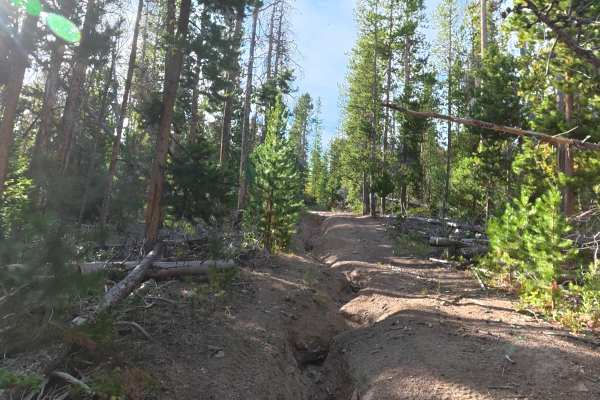
FS 200C
This short trail breaks off the North Sandhills backway and is significantly tighter than the main routes. Wide or tall vehicles should expect heavy pinstriping, and carrying a chainsaw or handsaw is recommended. The trail is mostly dirt with 1–2 inch rocks, 8–10 inch ruts, low-hanging trees, and s...
Learn more about FS 200C
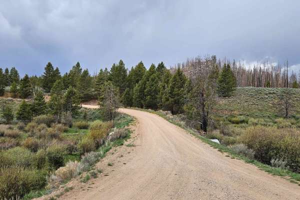
FS516 to Platte Ridge
This is a well-maintained forest service road. It has multiple sites along the way for dispersed camping. The trail winds high above Pelton Creek and gives you multiple access points to the Platte River Wilderness Area. Although empty most of the year, it does get busy come fall as many hunters use ...
Learn more about FS516 to Platte Ridge
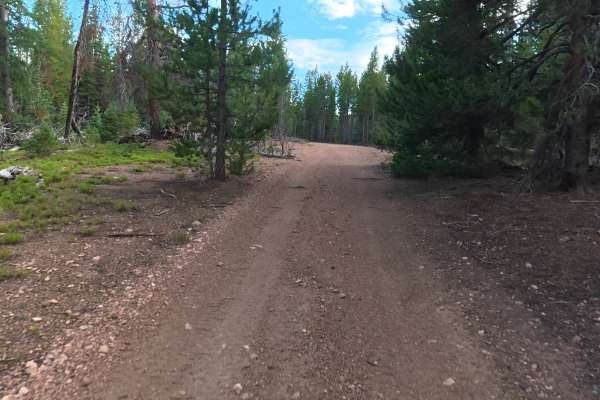
FS 157B
This short trail begins off Roach Road and travels through a dense forested area. The trail is narrow with a high likelihood of pinstriping and requires careful navigation around trees and branches. The trail consists mostly of dirt with about 50% rock coverage ranging from 1–3 inches in diameter. R...
Learn more about FS 157B
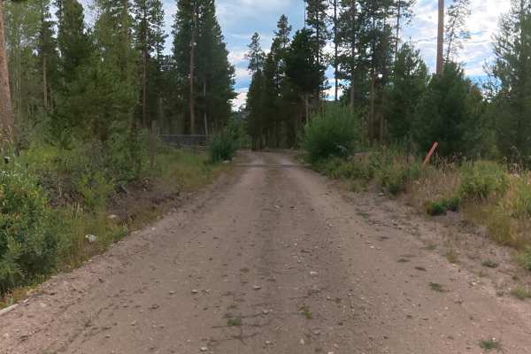
Village Belle Road
This short trail is mostly dirt with small rocks up to 1–2 inches in diameter. Unlike many nearby trails, it is wide enough to allow vehicles to pull aside and pass safely.
At 0.2 miles, there is a private campsite off the trail that fits up to two vehicles with level ground and a fire ring.
Overall...
Learn more about Village Belle Road
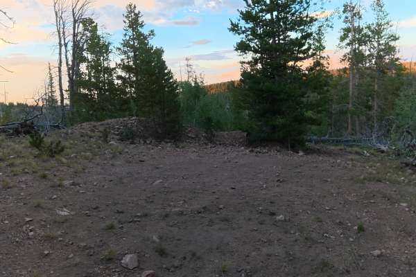
FS 200E
This trail begins off the main trail toward North Sandhills. A small private campsite at the entrance fits one vehicle, has a fire ring, and is surrounded by trees.
The trail is mostly fine dirt with scattered rocks up to 1 inch. It immediately drops along the cliffside and is not recommended for wi...
Learn more about FS 200E
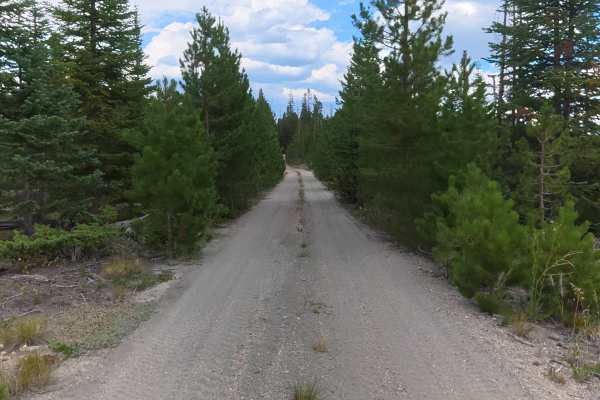
FS 516
This trail begins at the end of Pinkham Creek Road and travels through a beautiful section of forest filled with aspens, mountain views, and occasional open valleys.
The trail is mostly maintained dirt with small rocks and ruts up to 5 inches early on. At 1.2 miles, there is a campsite that fits up ...
Learn more about FS 516
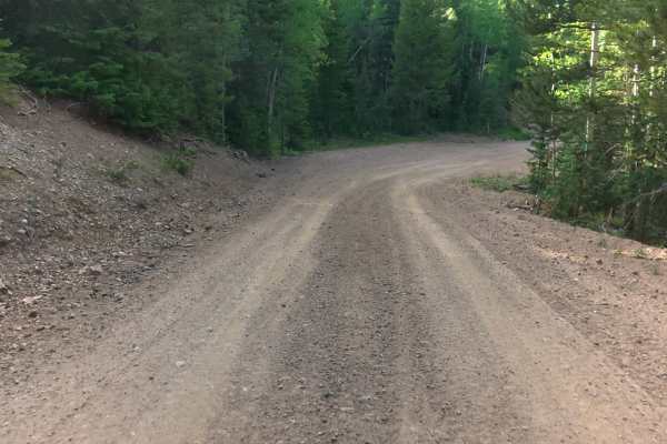
Kings Canyon Road
This maintained gravel road begins at the end of Pinkham Circle Road in the Roosevelt National Forest. The road is wide, easy to navigate, and suitable for all vehicles, campers, and trailers. This quick and scenic route travels through the mountains and connects to additional trails and camping are...
Learn more about Kings Canyon Road
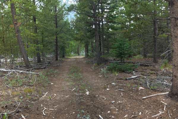
Flat Draw Road
This trail begins off Village Belle Road and consists of dirt with rocks up to 2 inches in diameter. The trail is wide enough to avoid pinstriping and has ruts no larger than 5 inches.
At 0.8 miles, there is a small private campsite that fits up to two vehicles with level ground, shade, and a fire r...
Learn more about Flat Draw Road
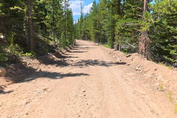
Government Creek Road
This trail begins off Pinkham Circle Road and climbs through a beautiful section of National Forest filled with dense trees and incredible mountain views.
The trail is narrow in sections, making it difficult for vehicles to pass, so use caution when approaching others. The surface is mostly fine dir...
Learn more about Government Creek Road
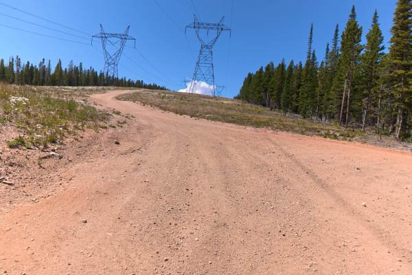
FS 876
This trail branches off Government Circle Road and travels through a beautiful section of National Forest filled with tall, dense trees.
The trail begins with a steady climb around the mountainside, featuring 5–8-inch ruts and sections that are 8–12° off-camber. At 0.7 miles, there is a scenic camps...
Learn more about FS 876
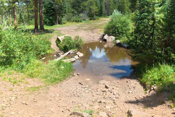
Allard Road
This trail begins off Hillside Road and quickly descends into a valley with a creek crossing. At the time of mapping, the water was about 3 inches deep. A scenic creekside campsite near the crossing fits 2–4 vehicles and offers level ground, a fire ring, and peaceful views. The trail is mostly fine ...
Learn more about Allard Road
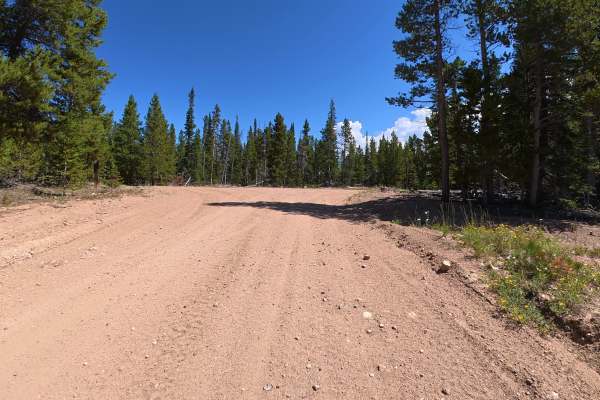
Pinkham Circle Road
This trail begins directly off Highway 127 and connects to several National Forest trails. A parking area near the entrance can accommodate up to 10 vehicles.
The trail starts with a fine dirt surface and 3–5-inch ruts. Please be respectful of nearby private homes and remain on the designated route....
Learn more about Pinkham Circle Road
ATV trails near Woods Landing-Jelm, Wyoming
Explore ATV-friendly trails near you. These trails are accessible for vehicles up to 50 inches wide, perfect for ATVs and smaller off-road machines.
Jelm Mountain
This is a well-maintained road that climbs to a stunning 10,000 feet. The views on the way up are breathtaking. Once at the top, you will find the U.W. Infrared Telescope Observatory, as well as amazing 360-degree views of the valleys and mountains below. There are multiple dispersed camping sites a...
Learn more about Jelm Mountain
Squaw Ridge Road
Heading from Fox Road (County Road 47), you'll come to the Squaw Ridge Road Trailhead, which is also known as Forest Service Road 311.A. This trail starts off with deep sand ruts, which will get you off camber pretty quickly on the ascent to the top. Once you pass the initial loose sand, the terrain...
Learn more about Squaw Ridge Road
Keystone
Beautiful road with amazing views and tall trees. There isn't much for camping, maybe a spot or two, but it is a quick simple enjoyable road to take a drive on. This road takes you into the small town of Keystone; please drive slowly! Dirt or rocky road with gentle grades. Safe for most 4WD and high...
Learn more about Keystone
Valley Trail
This is a 50-inch trail. It starts high on the mountain running through tight trees. Once at the top, you drop down into a beautiful valley that offers views of a snowy range that cannot be seen any other way. There is a large rock field to crawl over on your way down into the valley. Once at the bo...
Learn more about Valley Trail
UTV/side-by-side trails near Woods Landing-Jelm, Wyoming
Find UTV and side-by-side trails near you. These trails accommodate vehicles up to 60 inches wide, ideal for UTVs, side-by-sides, and wider off-road rigs.
Jelm Mountain
This is a well-maintained road that climbs to a stunning 10,000 feet. The views on the way up are breathtaking. Once at the top, you will find the U.W. Infrared Telescope Observatory, as well as amazing 360-degree views of the valleys and mountains below. There are multiple dispersed camping sites a...
Learn more about Jelm Mountain
Squaw Ridge Road
Heading from Fox Road (County Road 47), you'll come to the Squaw Ridge Road Trailhead, which is also known as Forest Service Road 311.A. This trail starts off with deep sand ruts, which will get you off camber pretty quickly on the ascent to the top. Once you pass the initial loose sand, the terrain...
Learn more about Squaw Ridge Road
Keystone
Beautiful road with amazing views and tall trees. There isn't much for camping, maybe a spot or two, but it is a quick simple enjoyable road to take a drive on. This road takes you into the small town of Keystone; please drive slowly! Dirt or rocky road with gentle grades. Safe for most 4WD and high...
Learn more about Keystone
FS 501 MTN HOME
The trail starts at Mountain Home, where there is a large parking lot to unload if you are riding an ATV or SXS. The trail begins fairly easily and has multiple places for dispersed camping. Multiple large water crossings can be deep in the spring or after a good rain. Parts of the trail cross throu...
Learn more about FS 501 MTN HOME
The onX Offroad Difference
onX Offroad combines trail photos, descriptions, difficulty ratings, width restrictions, seasonality, and more in a user-friendly interface. Available on all devices, with offline access and full compatibility with CarPlay and Android Auto. Discover what you're missing today!
Open Trail Map