Kings Canyon Road

Total Miles1.2
Technical Rating
1Easy
Best TimeSpring, Summer, Fall
Trail TypeFull-Width Road
Accessible By
Open Trail Map

Trail Overview

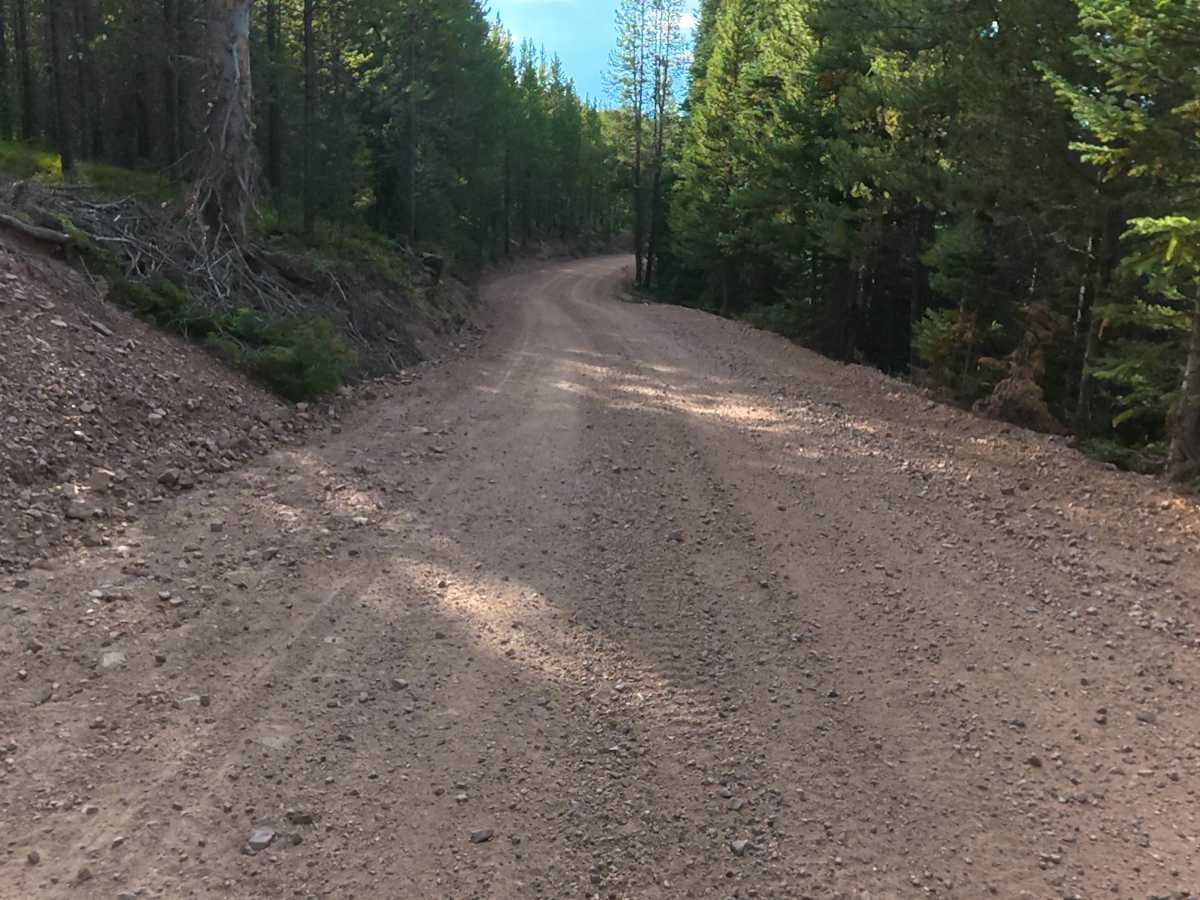
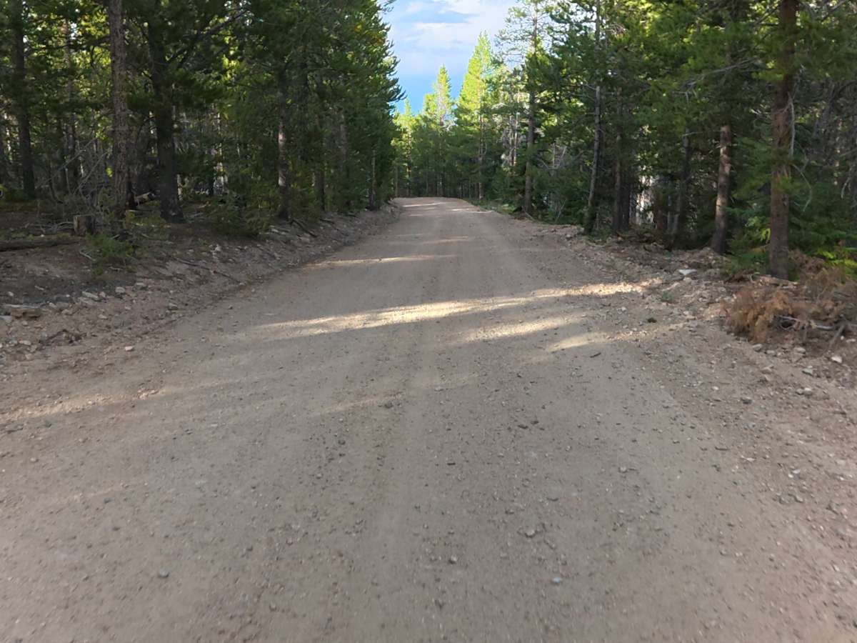
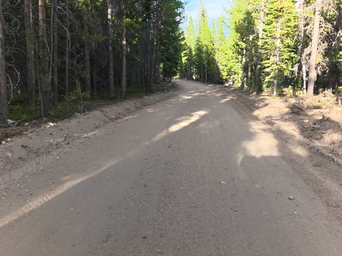
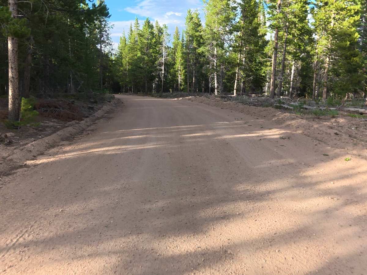
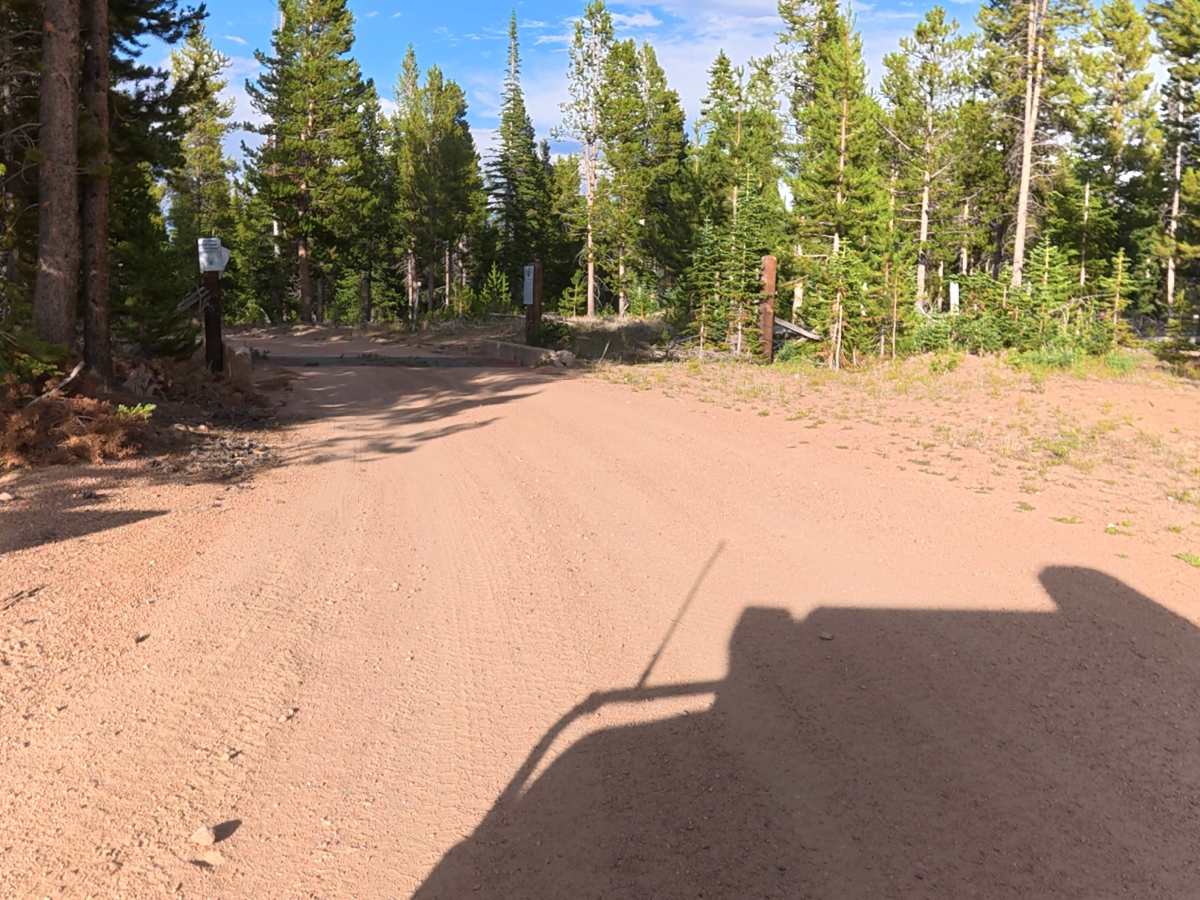
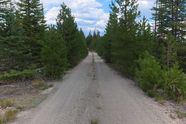
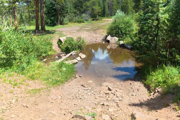
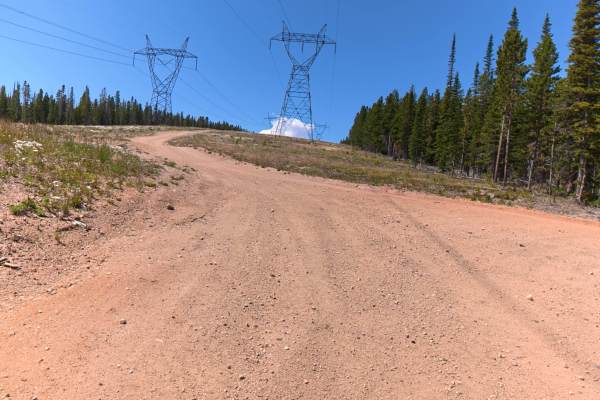
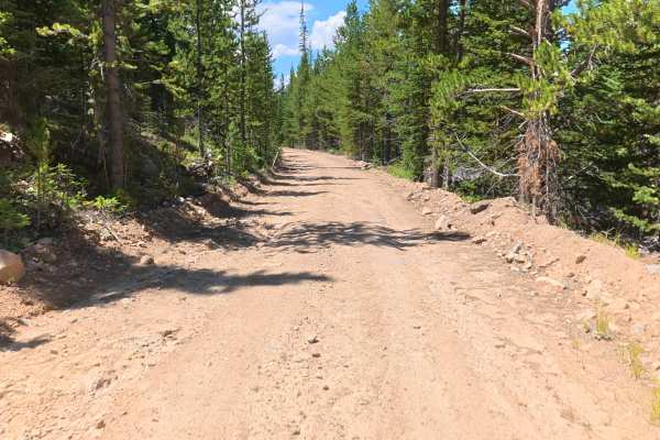
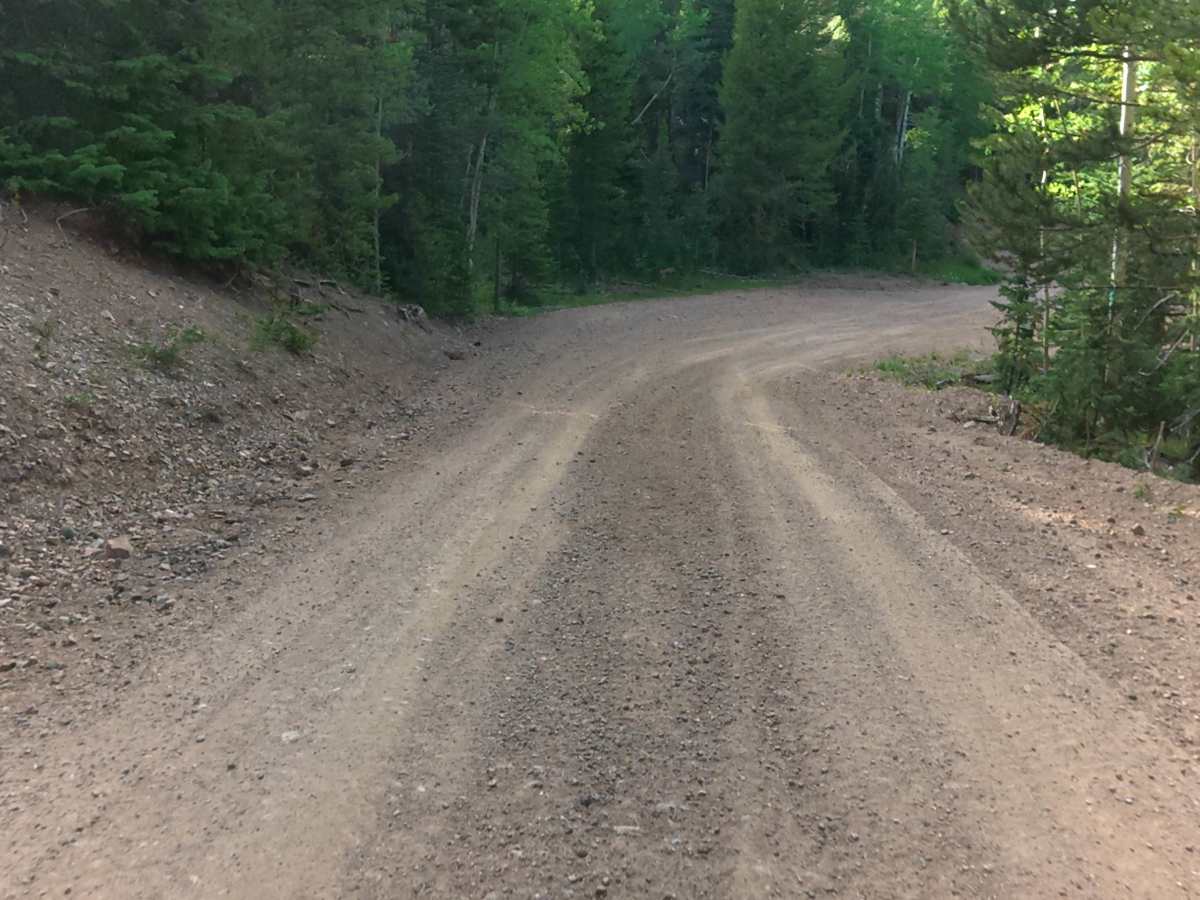
This maintained gravel road begins at the end of Pinkham Circle Road in the Roosevelt National Forest. The road is wide, easy to navigate, and suitable for all vehicles, campers, and trailers. This quick and scenic route travels through the mountains and connects to additional trails and camping areas on the other side of the forest. The trail offers great views of the surrounding mountains and dense forest, with aspen trees beginning to appear near the end. Overall, this is an easy, scenic connector trail with minimal obstacles and access to more recreation opportunities.

Photos of Kings Canyon Road

Difficulty

This trail has a wide, well-maintained gravel surface. The route is easy to navigate for most vehicles, including campers and trailers, with no significant technical sections. Drivers should only be aware of standard mountain road conditions and changing weather.

Technical Rating

1

Kings Canyon Road Trail can be accessed by the following ride types:

  • Single Track
  • 50 Inch
  • 60 Inch
  • High Clearance
  • Full Width

Kings Canyon Road Map

The onX Offroad Difference

onX Offroad combines trail photos, descriptions, difficulty ratings, width restrictions, seasonality, and more in a user-friendly interface. Available on all devices, with offline access and full compatibility with CarPlay and Android Auto. Discover what you're missing today!

Open Trail Map