Trail Overview
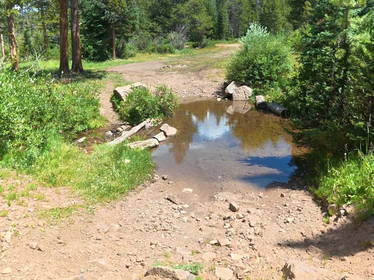
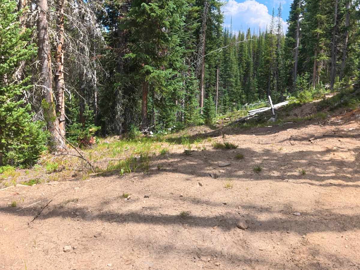
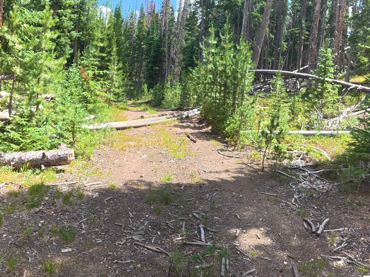
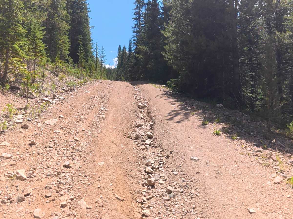
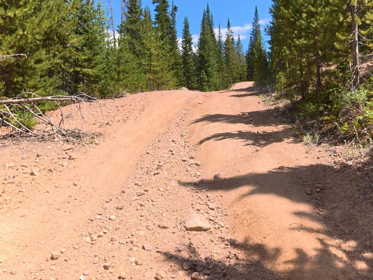
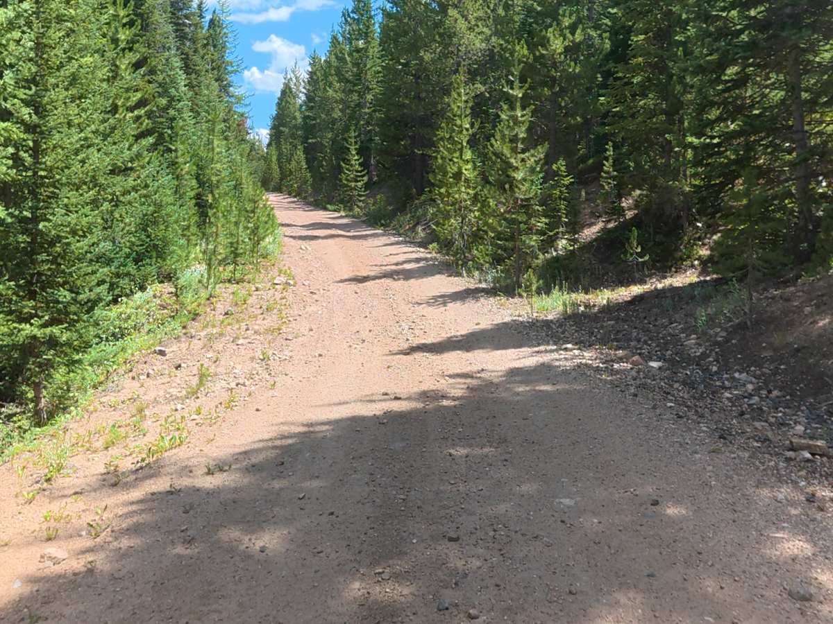
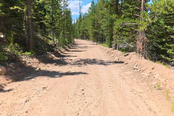
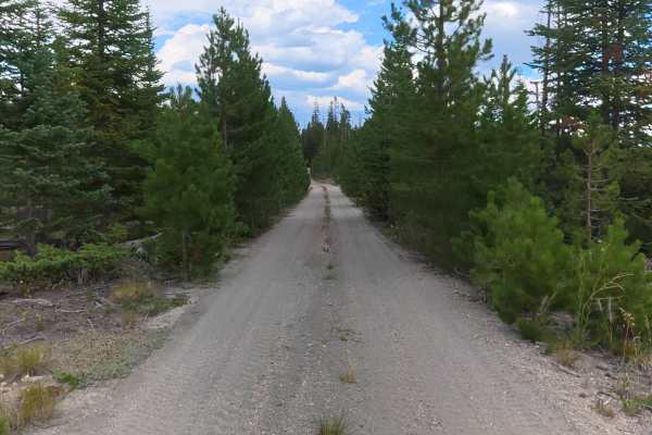
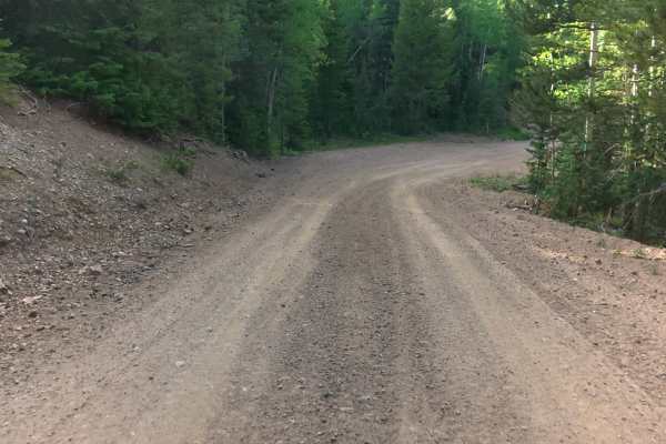
This trail begins off Hillside Road and quickly descends into a valley with a creek crossing. At the time of mapping, the water was about 3 inches deep. A scenic creekside campsite near the crossing fits 2–4 vehicles and offers level ground, a fire ring, and peaceful views. The trail is mostly fine dirt with rocks 1–3 inches in diameter and 12–14-inch ruts. Around 0.6 miles, a large fallen tree blocks part of the trail, but there is a bypass. Additional trees follow, though they can be avoided. The route stays surrounded by dense forest with several areas that become narrow and increase the chance of pinstriping. Around 2 miles, there is a low-hanging tree approximately 8 feet tall. At 3.1 miles, another campsite fits up to two vehicles with shade, privacy, and forest views. Near the end, the trail becomes very narrow with a log obstacle requiring careful navigation. The final campsite is private, level, and located at the end of the trail. Overall, this is a scenic and challenging trail with creek access, great camping, dense forest, and multiple obstacles.
Difficulty
This trail has multiple obstacles, including a creek crossing, 12–14-inch ruts, narrow forest sections, and log obstacles. Limited trail width, potential pinstriping, and tight navigation around fallen trees require careful driving. High clearance and attentive vehicle placement are recommended.