Trail Overview
This trail begins off the main trail toward North Sandhills. A small private campsite at the entrance fits one vehicle, has a fire ring, and is surrounded by trees.
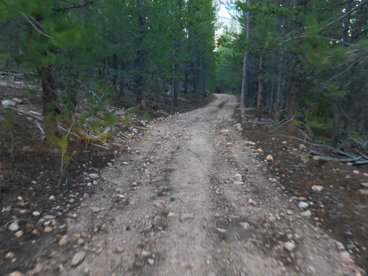
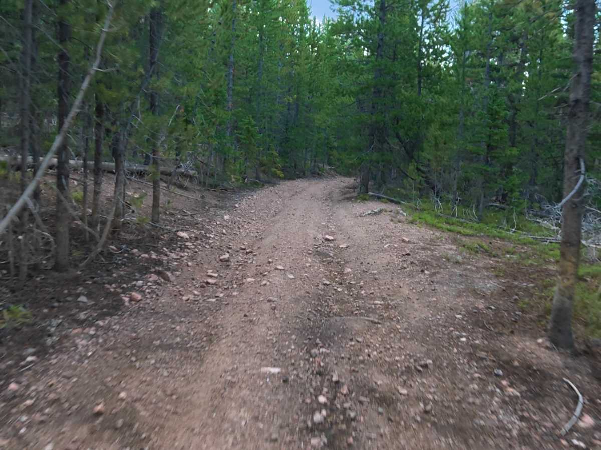
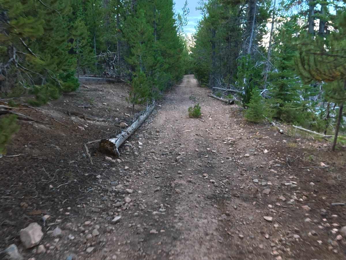
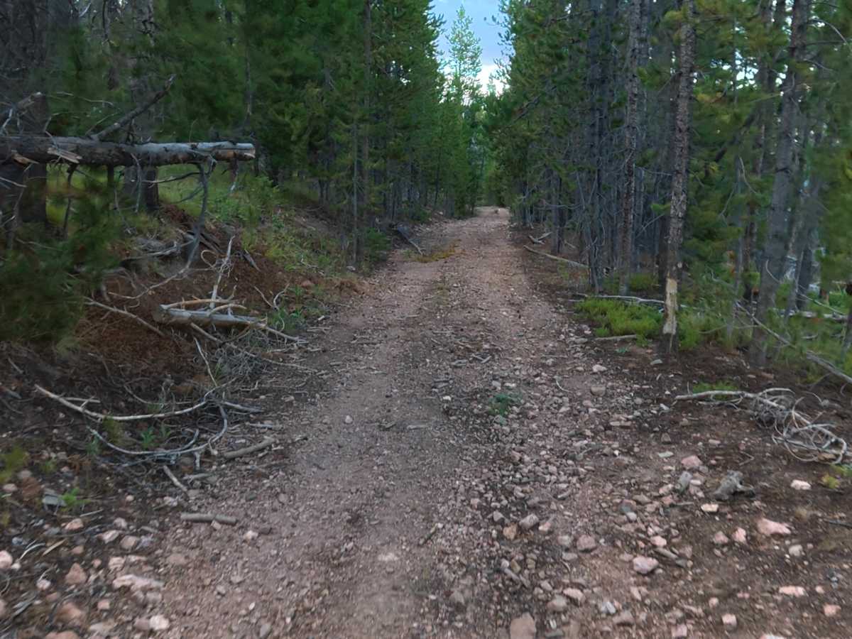
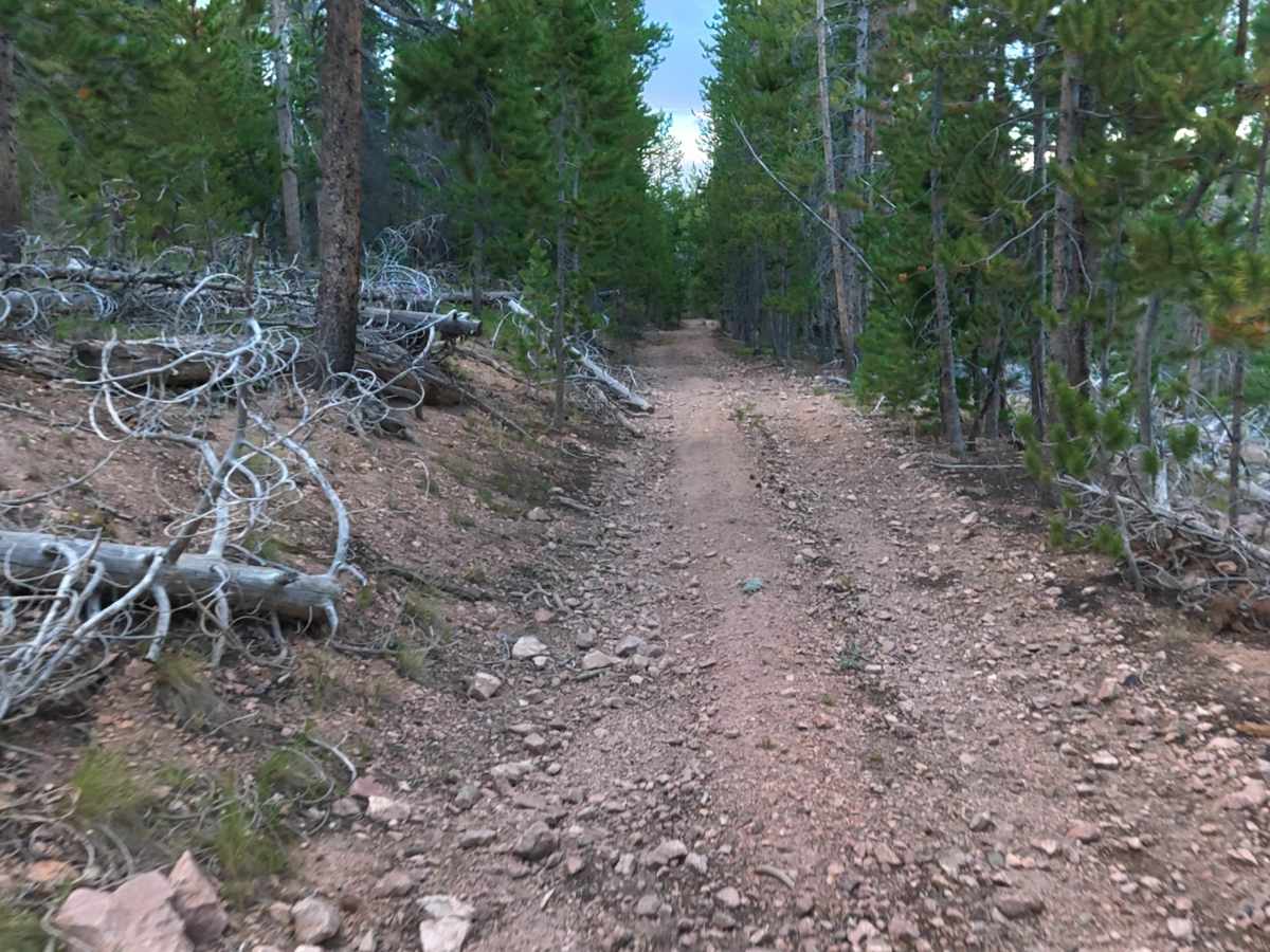
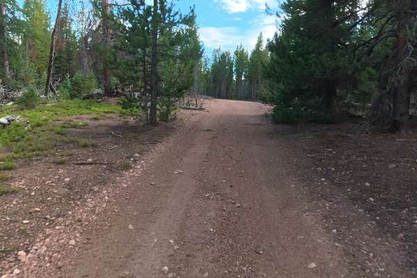
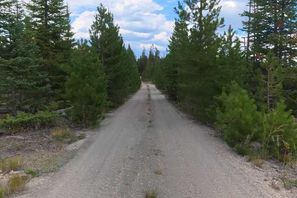
The trail is mostly fine dirt with scattered rocks up to 1 inch. It immediately drops along the cliffside and is not recommended for wide vehicles or vans due to tight sections and likely pinstriping.
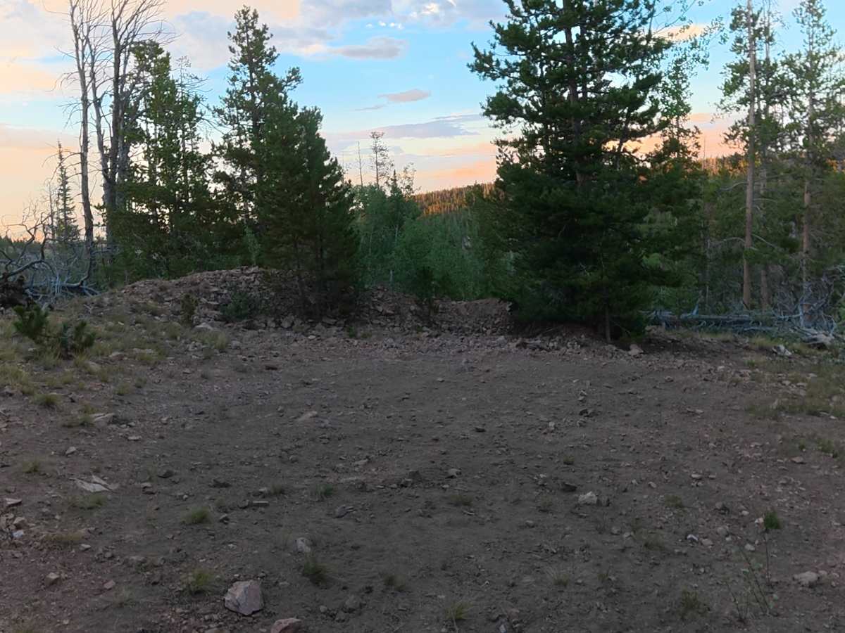
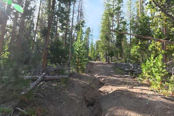
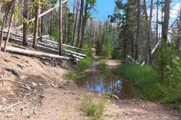
Ruts are 12–14 inches deep. 0.7 miles in, a private campsite on the left fits 1–2 vehicles, has level ground, shade, and a fire ring. The trail ends earlier than shown on GPS where the land manager has bulldozed and closed the route. The final campsite is private, level, fits up to 4 vehicles, and has mountain views.
Difficulty
This trail has steep cliffside terrain, narrow sections, and deep 12–14-inch ruts. Limited width creates challenges for larger vehicles and increases the risk of pinstriping. Careful tire placement and attentive driving are required to navigate the uneven terrain safely.