
Dirt Bike Trails
Near Whitefield, New Hampshire
Explore All Dirt Bike Trails Near Whitefield, New Hampshire
Dirt Bike Trails Near Whitefield, New Hampshire
Discover the best dirt bike trails near you. Browse trail maps, check difficulty ratings, and find your next adventure — whether you're looking for a quick ride or an all-day expedition.

Top of the World
This trail will bring you along the powerlines on the Vermont side of Moore Reservoir. This trail is mainly made up of gravel roads with water bars, ascents, and descents. There are many many offshoots all along the way, from mild to wild. Following the main trail can be done by most AWD vehicles wi...
Learn more about Top of the World
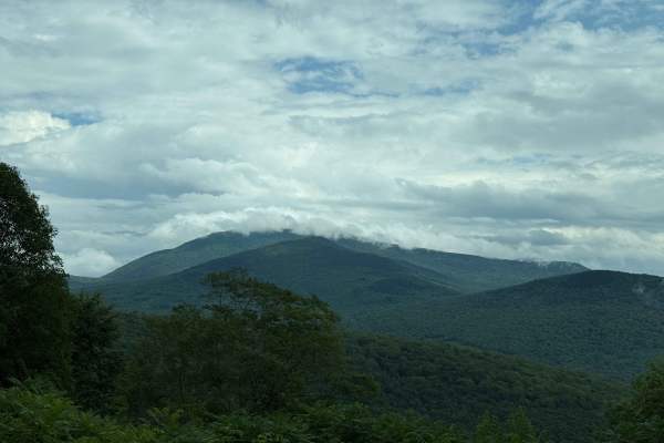
Tripoli Road
Tripoli Road is a well-maintained forest road that connects the Town of Waterville Valley to Thornton via a pass between Mt. Tecumseh and Mt. Osceola. This road is easily passable by any vehicle and is a popular road for access to hiking trails on Mt. Tecumseh and Mt. Osceola, as well as numerous ca...
Learn more about Tripoli Road
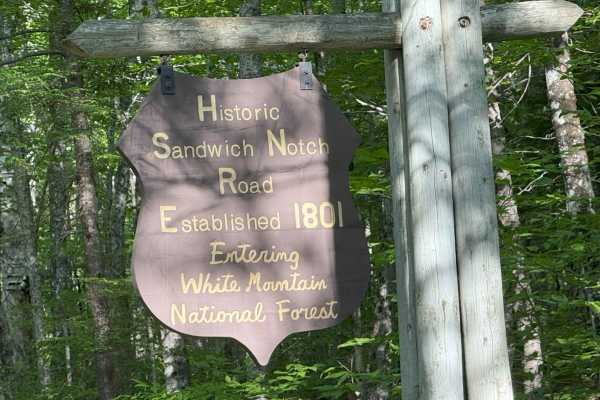
Sandwich Notch Road
Sandwich Notch Road is a well-maintained dirt forest road that runs between Thornton and Sandwich, New Hampshire, in the White Mountain National Forest. This iconic NH scenic byway was first established in 1801. This easy route has a lot of bang for your buck, as the scenery and views are breathtaki...
Learn more about Sandwich Notch Road
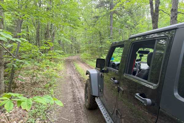
Wade Hill Road
Wade Hill Road is a Class 6 road in Hebron, NH. You can run it in both directions. Entering from the east side, you begin to ascend. You will reach the top in the middle of the trail. The trail travels through thick woods. It is muddy, has small ruts, and some loose, smaller rocks Weather will have...
Learn more about Wade Hill Road
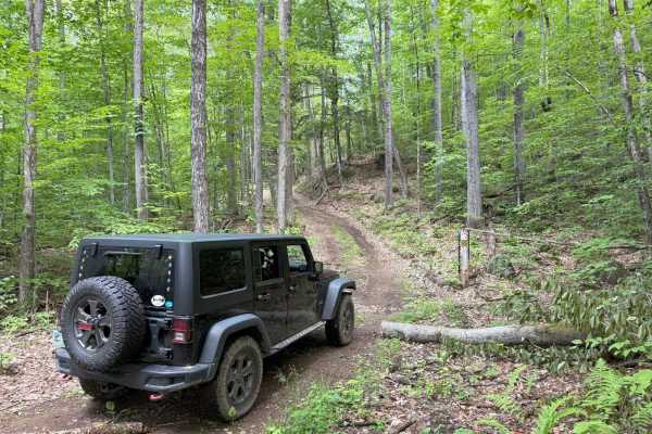
Cass Road
Cass Road is a Class 6 road in Bridgewater, NH. This route can be driven in either direction. From East to West, it runs uphill for nearly the entire route with approximately 600 feet of elevation gain. This route is a good access road into the main part of the Class 6 road system in Bridgewater, as...
Learn more about Cass Road
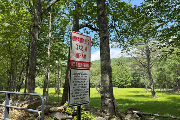
Berry Hill to Old Country Road Loop
This great loop trail runs on Berry Hill and Old Country Class 6 roads in Bridgewater, NH. The trail starts and ends at the historic Bridgewater Town House (1806). Enter the access gate behind the Town House and begin an ascent up Berry Hill Road. The trail is fairly wet and covered with loose rocks...
Learn more about Berry Hill to Old Country Road Loop
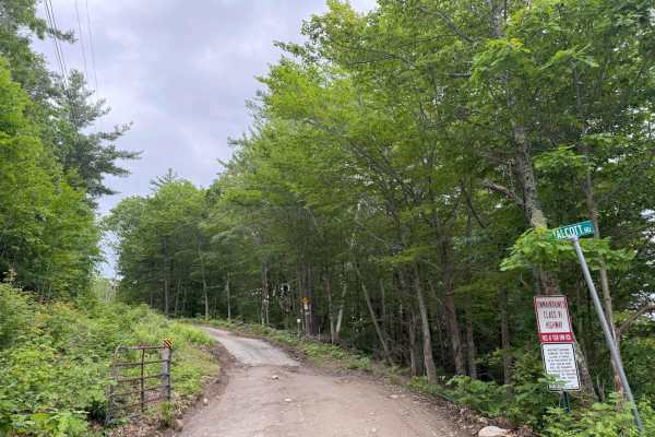
Talcott Road to Old Stage Road
This route starts out on Talcott Road and follows down to Old Stage Road in Bridgewater, NH. Both roads are Class 6 unmaintained roads. The entire route is a gradual descent, with some steep hills along the way. The route starts off with the million-dollar view from the trail's high point, overlooki...
Learn more about Talcott Road to Old Stage Road
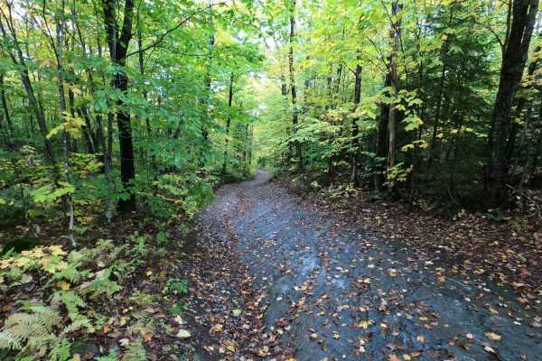
Lowell MTN / Baily-Hazen Military Road
This trail follows the original route of the Baily-Hazen Military Road, which was built in the 1780s, and in places, you can still see the original cobblestones. There are some truly beautiful views of northern Vermont. The trail is rough and rock-covered and can be very slippery when wet. There are...
Learn more about Lowell MTN / Baily-Hazen Military Road
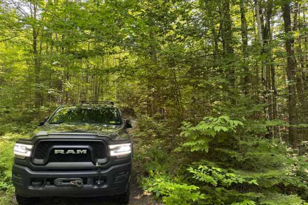
Explore Vermont Brookfield to Wells River
An amazing way to see real Vermont with never-ending views and just technical enough to keep you thinking. The route is a mix of dirt roads and class four roads with minimal pavement, probably only 10 miles total. If it has rained in the last few days the difficulty will increase a bit there are a ...
Learn more about Explore Vermont Brookfield to Wells River
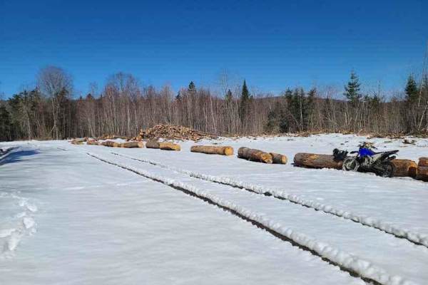
Lynch Hill Loop
This is legally a Class 4 town road, so anything on it should technically be registered. Typically, the main loop is a fairly mild drive through the woods. There are options to get a bit more radical if you want to try the Moretown Mountain Escape Spur, Kelley Brook Road, or Lynch Trail, which are a...
Learn more about Lynch Hill Loop
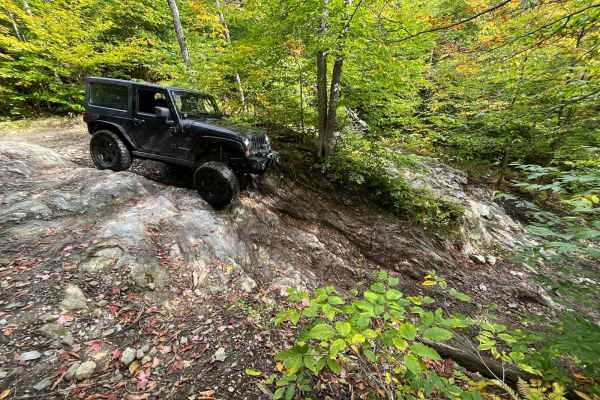
Belvedere Mountain Road
The route starts on the East side, goes roughly 2.5 mi to a lookout point, and returns. Options to enter/exit the trail area to the west are available as well, but this route seems to be the best experience. There are multiple rock ledges and rocky sections to navigate. There are a couple optional r...
Learn more about Belvedere Mountain Road
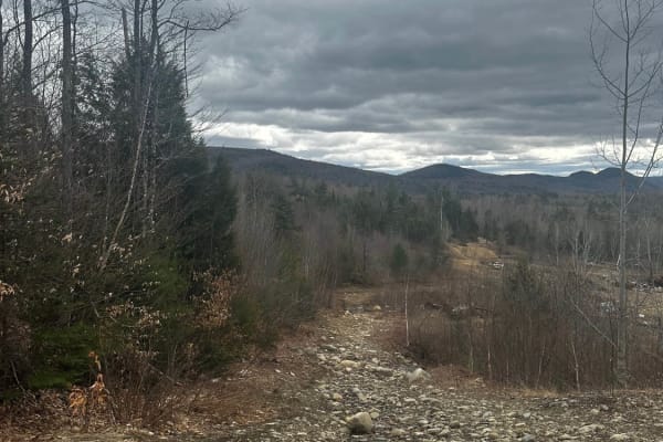
Rocky Mountain Terrain Park
Rocky Mountain Terrain is an 87 acres Off-Road Adventure Park located in Carthage, Maine USA. Off-Road enthusiasts of all types travel from all over the country to test their skills and play with other like minded individuals on varied types of natural terrain and man made obstacles. Upon entering t...
Learn more about Rocky Mountain Terrain Park
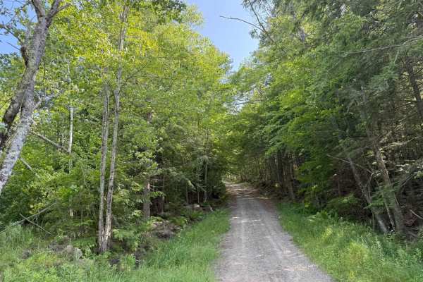
Caverly Road to Devil's Den Road
This route travels across two portions of two Class 6 roads that travel around Caverly Mountain, then between Devil's Den Mountain and Mount Molly. The route is stock four-wheel drive friendly and can be run in either direction. This route starts on Caverly Road and heads West for approximately 1 mi...
Learn more about Caverly Road to Devil's Den Road
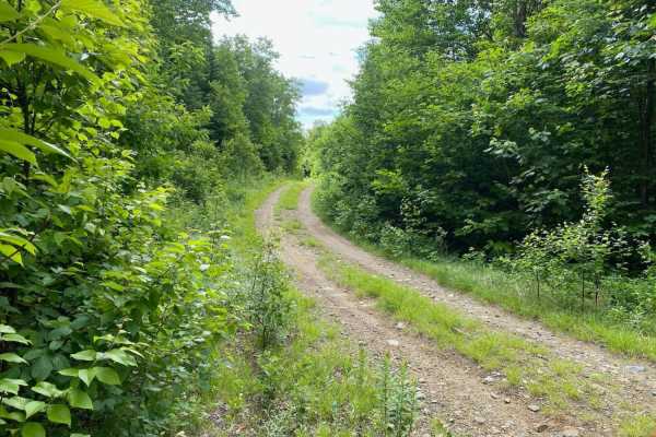
Edes Brook Trail
This trail is an easy access to some of our other trails and sights. Good trail for just cruising and enjoying the views. It will take you from Intervale Road to the Presidential Lookout or Weld via connecting trails. Trail speeds in Temple are 20 MPH if you can see a telephone pole. Open 24/7.
Learn more about Edes Brook Trail
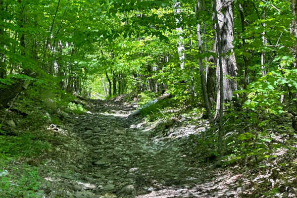
Mason Hill
The trail starts as a dirt road passing a few farms, then into the woods. Once you're into the wood line, expect a narrower trail you could still fit a full-size truck through, with a lot of loose rock with a few muddy spots as the trail continues North. The trail is relatively easygoing until you r...
Learn more about Mason Hill
ATV trails near Whitefield, New Hampshire
Explore ATV-friendly trails near you. These trails are accessible for vehicles up to 50 inches wide, perfect for ATVs and smaller off-road machines.
Top of the World
This trail will bring you along the powerlines on the Vermont side of Moore Reservoir. This trail is mainly made up of gravel roads with water bars, ascents, and descents. There are many many offshoots all along the way, from mild to wild. Following the main trail can be done by most AWD vehicles wi...
Learn more about Top of the World
Wade Hill Road
Wade Hill Road is a Class 6 road in Hebron, NH. You can run it in both directions. Entering from the east side, you begin to ascend. You will reach the top in the middle of the trail. The trail travels through thick woods. It is muddy, has small ruts, and some loose, smaller rocks Weather will have...
Learn more about Wade Hill Road
Cass Road
Cass Road is a Class 6 road in Bridgewater, NH. This route can be driven in either direction. From East to West, it runs uphill for nearly the entire route with approximately 600 feet of elevation gain. This route is a good access road into the main part of the Class 6 road system in Bridgewater, as...
Learn more about Cass Road
Berry Hill to Old Country Road Loop
This great loop trail runs on Berry Hill and Old Country Class 6 roads in Bridgewater, NH. The trail starts and ends at the historic Bridgewater Town House (1806). Enter the access gate behind the Town House and begin an ascent up Berry Hill Road. The trail is fairly wet and covered with loose rocks...
Learn more about Berry Hill to Old Country Road Loop
UTV/side-by-side trails near Whitefield, New Hampshire
Find UTV and side-by-side trails near you. These trails accommodate vehicles up to 60 inches wide, ideal for UTVs, side-by-sides, and wider off-road rigs.
Top of the World
This trail will bring you along the powerlines on the Vermont side of Moore Reservoir. This trail is mainly made up of gravel roads with water bars, ascents, and descents. There are many many offshoots all along the way, from mild to wild. Following the main trail can be done by most AWD vehicles wi...
Learn more about Top of the World
Wade Hill Road
Wade Hill Road is a Class 6 road in Hebron, NH. You can run it in both directions. Entering from the east side, you begin to ascend. You will reach the top in the middle of the trail. The trail travels through thick woods. It is muddy, has small ruts, and some loose, smaller rocks Weather will have...
Learn more about Wade Hill Road
Cass Road
Cass Road is a Class 6 road in Bridgewater, NH. This route can be driven in either direction. From East to West, it runs uphill for nearly the entire route with approximately 600 feet of elevation gain. This route is a good access road into the main part of the Class 6 road system in Bridgewater, as...
Learn more about Cass Road
Berry Hill to Old Country Road Loop
This great loop trail runs on Berry Hill and Old Country Class 6 roads in Bridgewater, NH. The trail starts and ends at the historic Bridgewater Town House (1806). Enter the access gate behind the Town House and begin an ascent up Berry Hill Road. The trail is fairly wet and covered with loose rocks...
Learn more about Berry Hill to Old Country Road Loop
The onX Offroad Difference
onX Offroad combines trail photos, descriptions, difficulty ratings, width restrictions, seasonality, and more in a user-friendly interface. Available on all devices, with offline access and full compatibility with CarPlay and Android Auto. Discover what you're missing today!
Open Trail Map