
Dirt Bike Trails
Near Warren, Oregon
Explore All Dirt Bike Trails Near Warren, Oregon
Dirt Bike Trails Near Warren, Oregon
Discover the best dirt bike trails near you. Browse trail maps, check difficulty ratings, and find your next adventure — whether you're looking for a quick ride or an all-day expedition.

Pittsburg Road
This timberland traverse route offers a journey through lush landscapes of private timber company land and access to the pristine Tillamook State Forest. Adventurers are immediately greeted with a canopy of towering conifers and the soothing sounds of nature. The trail gradually ascends, providing g...
Learn more about Pittsburg Road
Karth Road
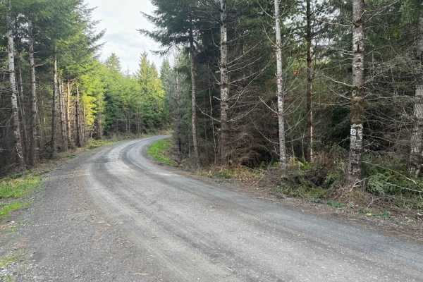
This forest road connects Apiary Road with Pittsburg Road and is relatively level. It is, however, a typical logging road with potholes, washboard, and the occasional windfall tree in the way. This route begins on Apiary Road adjacent to the Columbia County Park Camp Wilkerson. There's nothing extra...
Learn more about Karth Road
PH-3000
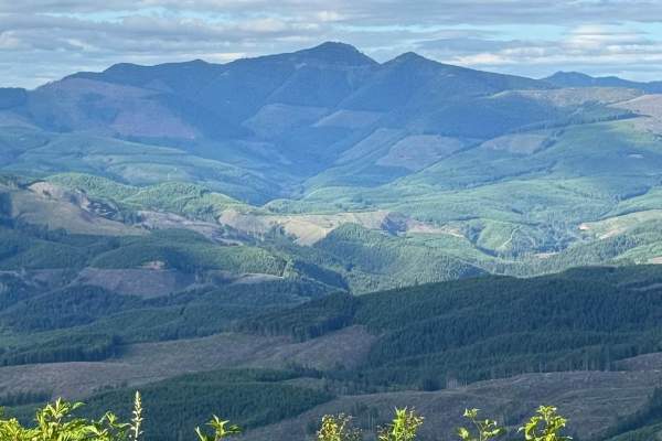
This is an easy trail that is mainly dirt with gravel. The trail has a few washouts and ruts. The trail is an out-and-back that offers some gorgeous views of Lake Merwin. There are a few areas that have overgrowth on the trail but nothing that will cause pin striping. You might encounter a few downe...
Learn more about PH-3000
Powder Horn Spur Road
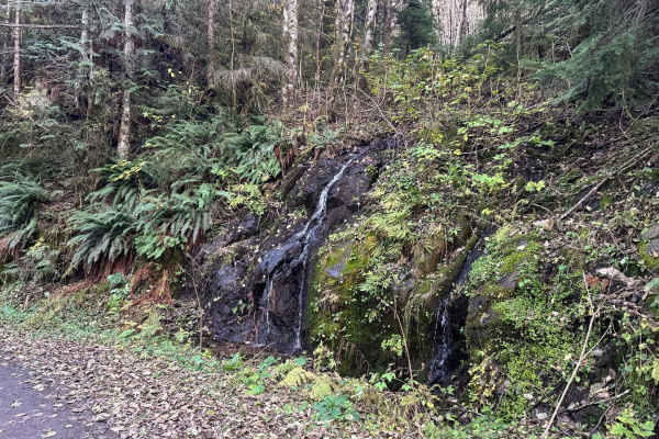
The Powder Horn Spur is an easy, out-and-back gravel road branching off the main Powder Horn route. Suitable for most vehicles, the road features minimal elevation change and generally maintains a single-lane width, with several widened pull-outs available for parking or passing.
As you drive, the ...
Learn more about Powder Horn Spur Road
PH-4000
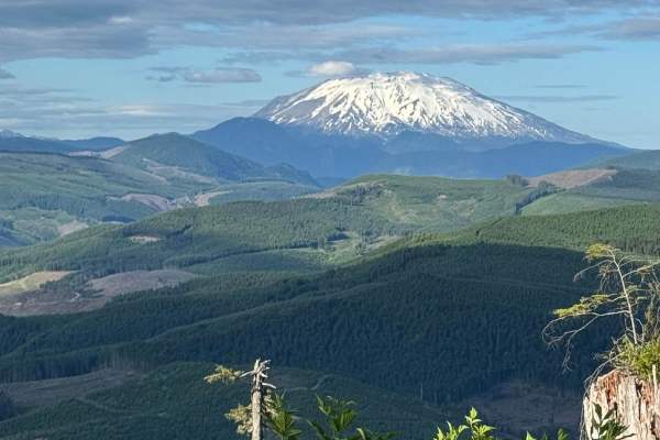
This is an easy trail that is mainly dirt with gravel. The trail has a few washouts and ruts but nothing that is overly challenging. There is one area of the trail where low-clearance vehicles might scrape their underbody. The trail leads to Fredrickson Road which can be used as a connecting point f...
Learn more about PH-4000
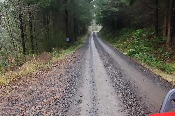
Powder Horn
Easy scenic route through the woods that can be done in a 2WD with good clearance. There are wonderful views and plenty of side roads to check out and explore. There are also a few dispersed camping spots along the way. Be careful at blind corners, this road sees a decent amount of traffic and loggi...
Learn more about Powder Horn
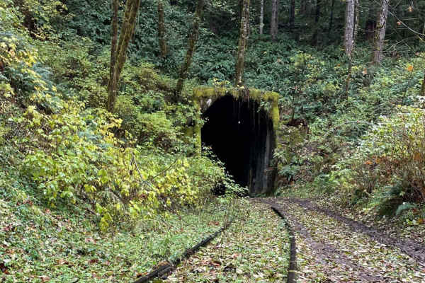
Salmonberry Railroad Tunnel Route
This route is an easy gravel road out and back route. The Beaver Slide Road dead ends at the Salmon Berry River where the road is washed out. There are many other logging roads that branch off. It would be pretty easy to find an alternate route on the way out for a change in scenery. The route is fa...
Learn more about Salmonberry Railroad Tunnel Route
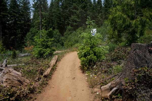
Rogers Camp Road #1
This is a 2-mile segment of Rogers Camp Road, a wide ATV trail running under a dense tree canopy. The route follows an easy grade with a smooth surface, scattered small loose rocks, and frequent gentle curves. While it has a few shelfy sections along the hillside, it remains highly manageable throug...
Learn more about Rogers Camp Road #1

L-1100
L-1100 is located in the Yacolt Burn State Forest which is nestled at the base of the Cascade Mountain Range in Southwest Washington. These roads are well maintained and are gravel with very few potholes. There are houses and private property along this route for the first section of this trail. The...
Learn more about L-1100
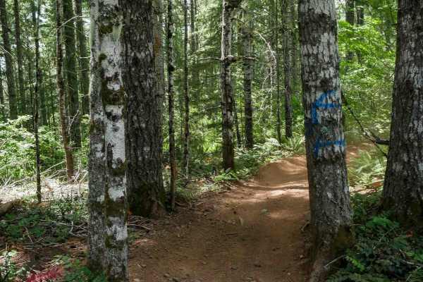
Firebreak One #2
Trail #2 is a half-mile-long, easy route that begins at the intersection with Trails #3 and #3A. It starts as a wide, road-width trail with small loose rocks and occasional waterbars before narrowing slightly as it passes between trees toward its northern end. It remains very manageable for all skil...
Learn more about Firebreak One #2
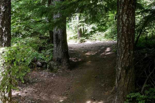
Clydes #7
Clydes is a 2-mile trail featuring an easy two-track route with frequent curves, small loose rocks, and occasional rutted or dug-out sections. The trail winds through a mossy, scenic forest of western white pines, with minor roots, water bars, and gentle, uneven terrain. There are a few straightaway...
Learn more about Clydes #7
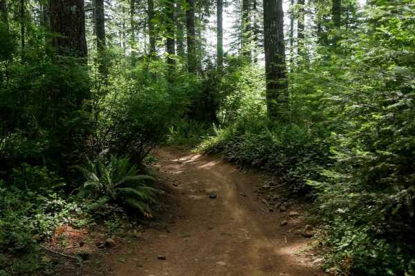
Marks #3A
Marks #3A is a short, half-mile ATV trail that winds through a forested area on a wide dirt path. With small loose rocks, gentle curves, and only mild elevation changes, it's well-suited for riders of all experience levels. The trail is fun, fast, and flowy, offering a relaxed ride despite some mino...
Learn more about Marks #3A
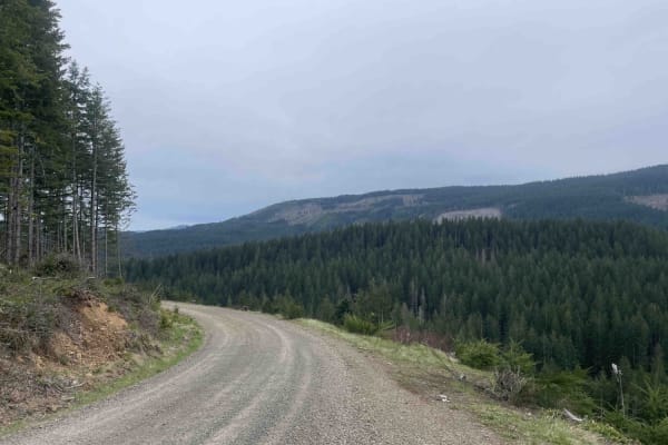
Wheeler Run
This is yet another trail for those of us who just want to get out and enjoy the little things. Expect a dense young stand of timber. Get a chance to see some wildlife, such as deer, elk, coyote, and grouse. Who knows, you may get lucky enough to see a black bear or cougar. The road is fairly well m...
Learn more about Wheeler Run
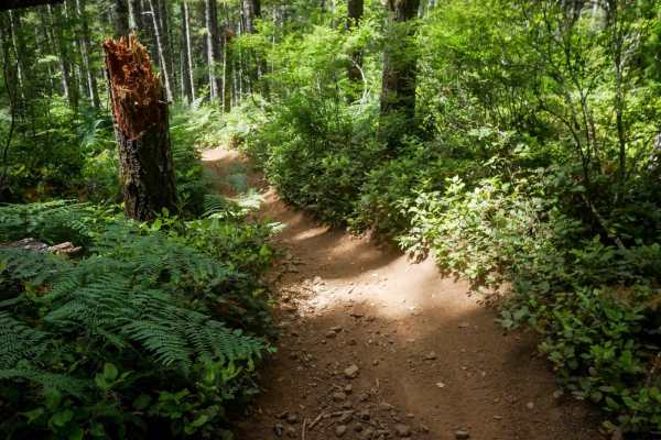
Crooked Bridge #3
Crooked Bridge #3 is a wide, fast, and flowy dirt ATV trail that's approachable for all skill levels. Starting from the southern entrance, it offers mostly straight sections with gentle curves and gradual grades, making it an enjoyable and low-stress ride. The trail surface consists of loose dirt wi...
Learn more about Crooked Bridge #3
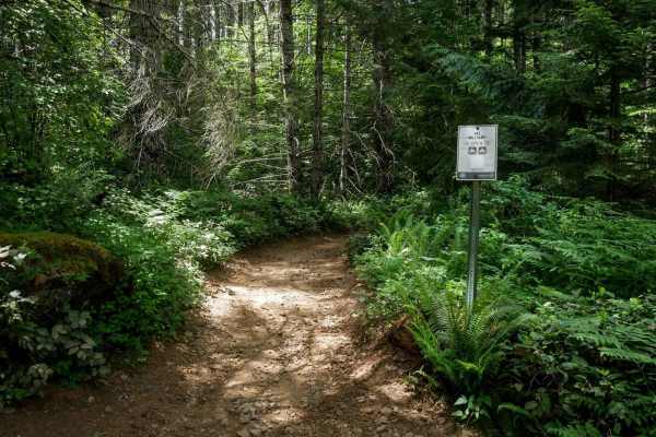
Military #43
Military is a 2-mile graded and maintained trail featuring sections lined with cement pavers and a wide two-track surface through dense forest. Although mostly wide, there are occasional narrow tree pinches where trees closely line the trail. The route is fast and flowy with gentle curves, a few lar...
Learn more about Military #43
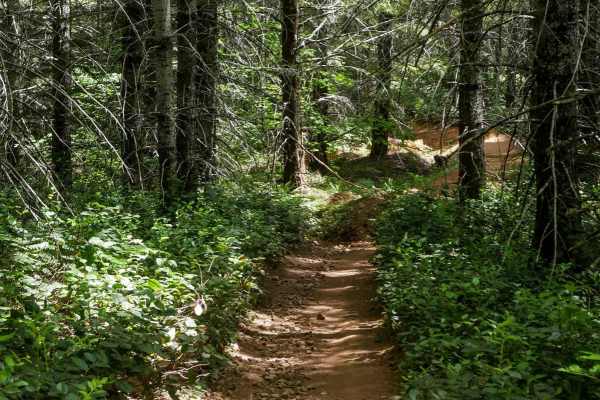
One-Way #98
This is a .8-mile directional loop trail that travels counterclockwise along a scenic forested corridor. This easy two-track is decently wide for ATVs and carved into the mossy Pacific Northwest landscape, with small loose rocks, shallow climbs, and naturally banked corners. Dense bushes and trees l...
Learn more about One-Way #98
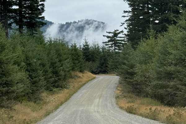
L-1000
This is a point-to-point trail that will connect you between 2 other trails in the area. It will also lead you to the Yacoult Burn Trailhead where you can access the area's hiking trail. There is also access to Cold Creek Campground. The trail is mainly a wide gravel road that is comprised of loose ...
Learn more about L-1000
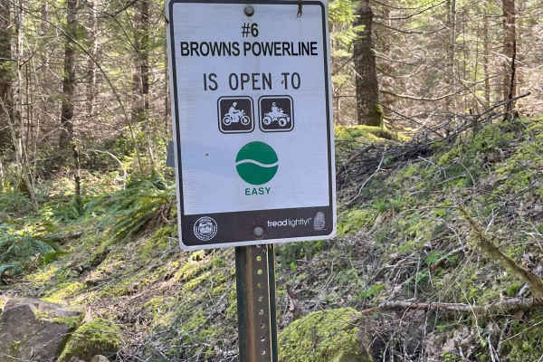
Brown's Powerline Connector
This trail just down from Brown's camp parking area. This is a dirt trail for 50-inch and smaller. It is marked easy level. A 50-inch side by side can get through if you don't have anything sticking out on the sides of vehicle, otherwise 4 wheeler and motorcycle best. It is narrow in some areas and ...
Learn more about Brown's Powerline Connector
#43 Connector
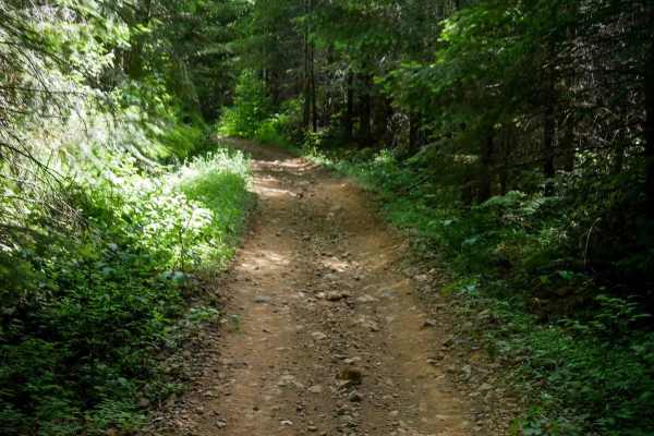
#43 Connector is a short, less-than-half-mile segment that links Quarry to the main portion of the Military Trail. This easy two-track path features small loose rocks, a fairly flat and gradual grade, and a decently wide corridor suitable for most riders. About halfway through, there's a fun EnduroC...
Learn more about #43 Connector
Kids Loop #86
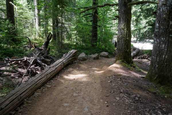
Kids Loop is a short half-mile loop specifically designed for young or beginner riders. The trail is a decently wide ATV track that curves gently between the trees and is sometimes lined with logs as boundaries on the edge of the trail. It's located right next to the staging area, making it convenie...
Learn more about Kids Loop #86
ATV trails near Warren, Oregon
Explore ATV-friendly trails near you. These trails are accessible for vehicles up to 50 inches wide, perfect for ATVs and smaller off-road machines.
Karth Road
This forest road connects Apiary Road with Pittsburg Road and is relatively level. It is, however, a typical logging road with potholes, washboard, and the occasional windfall tree in the way. This route begins on Apiary Road adjacent to the Columbia County Park Camp Wilkerson. There's nothing extra...
Learn more about Karth Road
PH-3000
This is an easy trail that is mainly dirt with gravel. The trail has a few washouts and ruts. The trail is an out-and-back that offers some gorgeous views of Lake Merwin. There are a few areas that have overgrowth on the trail but nothing that will cause pin striping. You might encounter a few downe...
Learn more about PH-3000
Powder Horn Spur Road
The Powder Horn Spur is an easy, out-and-back gravel road branching off the main Powder Horn route. Suitable for most vehicles, the road features minimal elevation change and generally maintains a single-lane width, with several widened pull-outs available for parking or passing.
As you drive, the ...
Learn more about Powder Horn Spur Road
PH-4000
This is an easy trail that is mainly dirt with gravel. The trail has a few washouts and ruts but nothing that is overly challenging. There is one area of the trail where low-clearance vehicles might scrape their underbody. The trail leads to Fredrickson Road which can be used as a connecting point f...
Learn more about PH-4000
UTV/side-by-side trails near Warren, Oregon
Find UTV and side-by-side trails near you. These trails accommodate vehicles up to 60 inches wide, ideal for UTVs, side-by-sides, and wider off-road rigs.
Karth Road
This forest road connects Apiary Road with Pittsburg Road and is relatively level. It is, however, a typical logging road with potholes, washboard, and the occasional windfall tree in the way. This route begins on Apiary Road adjacent to the Columbia County Park Camp Wilkerson. There's nothing extra...
Learn more about Karth Road
PH-3000
This is an easy trail that is mainly dirt with gravel. The trail has a few washouts and ruts. The trail is an out-and-back that offers some gorgeous views of Lake Merwin. There are a few areas that have overgrowth on the trail but nothing that will cause pin striping. You might encounter a few downe...
Learn more about PH-3000
Powder Horn Spur Road
The Powder Horn Spur is an easy, out-and-back gravel road branching off the main Powder Horn route. Suitable for most vehicles, the road features minimal elevation change and generally maintains a single-lane width, with several widened pull-outs available for parking or passing.
As you drive, the ...
Learn more about Powder Horn Spur Road
PH-4000
This is an easy trail that is mainly dirt with gravel. The trail has a few washouts and ruts but nothing that is overly challenging. There is one area of the trail where low-clearance vehicles might scrape their underbody. The trail leads to Fredrickson Road which can be used as a connecting point f...
Learn more about PH-4000
The onX Offroad Difference
onX Offroad combines trail photos, descriptions, difficulty ratings, width restrictions, seasonality, and more in a user-friendly interface. Available on all devices, with offline access and full compatibility with CarPlay and Android Auto. Discover what you're missing today!
Open Trail Map