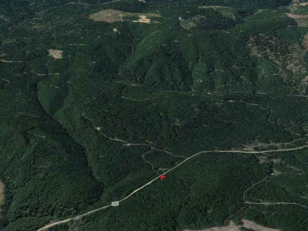
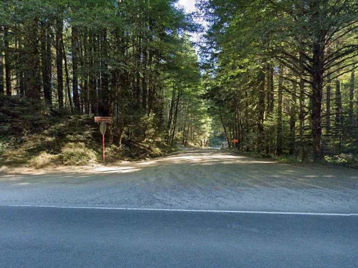
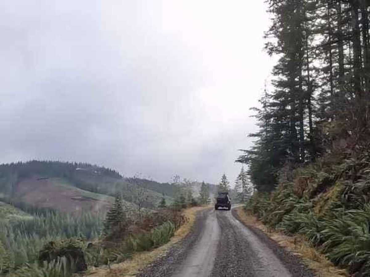
Salmonberry Railroad Tunnel Route

Total Miles 9.5
Technical Rating
1 Easy
Best Time Summer, Fall
Trail Type Full-Width Road
Accessible By
Open Trail Map

Trail Overview

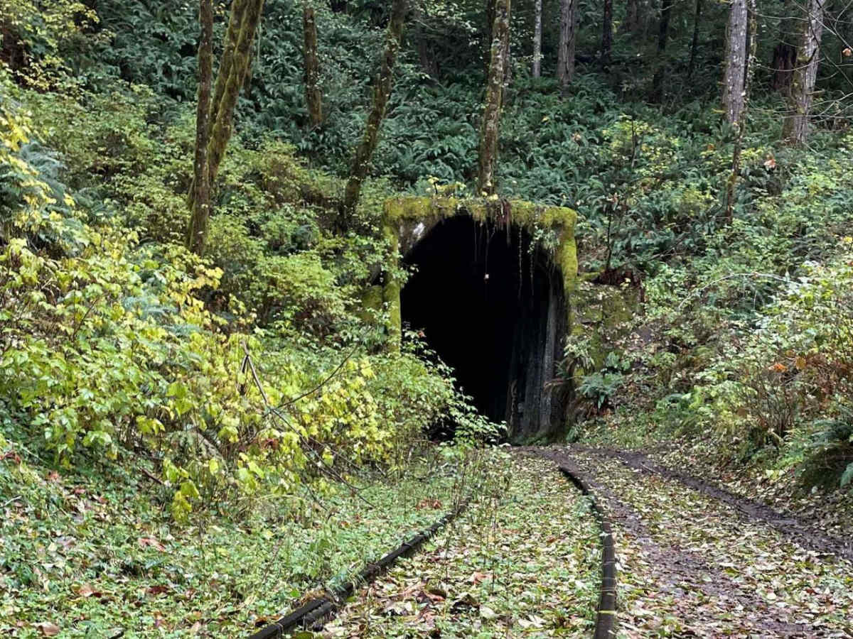
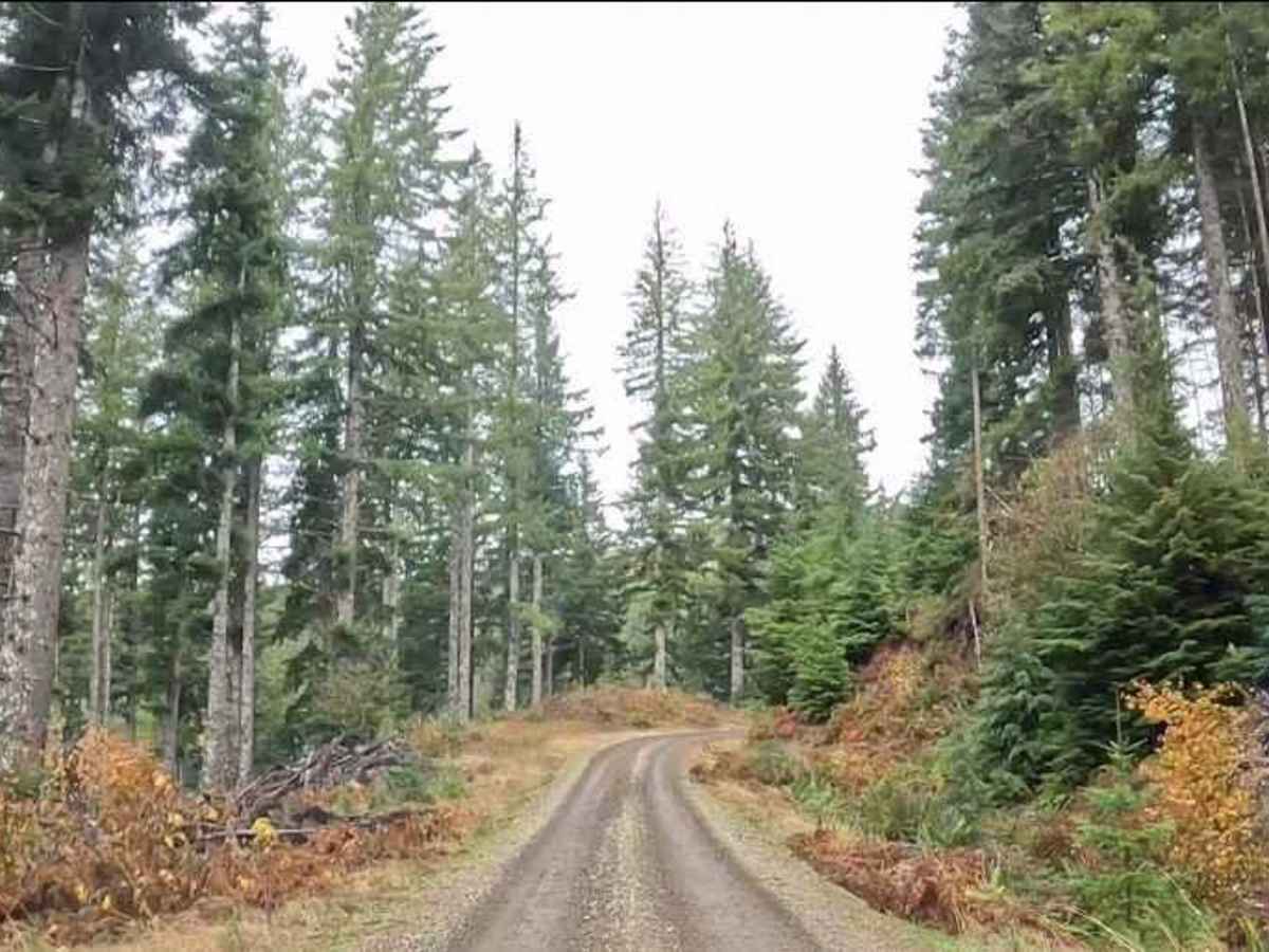
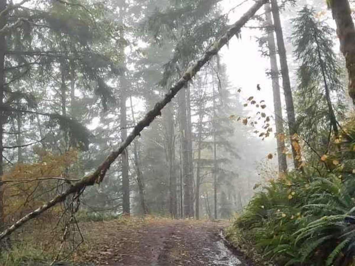
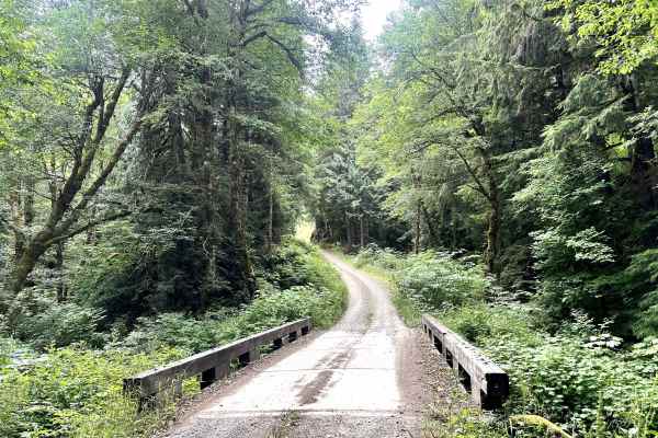
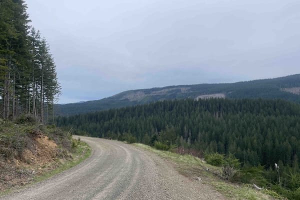
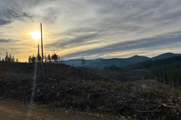
This route is an easy gravel road out and back route. The Beaver Slide Road dead ends at the Salmon Berry River where the road is washed out. There are many other logging roads that branch off. It would be pretty easy to find an alternate route on the way out for a change in scenery. The route is fairly level in most places. It descends pretty steeply once you reach Beaver Slide Road. There was only one spot on Beaver Slide Road that was a bit rough where the water had washed over the road. Would not recommend driving it in snow or icy conditions. Once you reach the river the tunnel is to your right. Get out, have lunch and go explore the abandoned Salmon Berry Railway Tunnel. Follow the tracks up the river to a trestle that is pretty to see as well. Check out this video to see our drive through this area! https://youtu.be/MICjSUVuW6M

Photos of Salmonberry Railroad Tunnel Route

Difficulty

Mostly gravel roads with a steeper section at the end.

History

Tunnel history -This cool railway tunnel is part of the Port of Tillamook Bay Railroad, which runs between Hillsboro and Tillamook Oregon. Known locally as the Salmonberry Railroad. Originally built by the Pacific Railway and Navigation Company between 1906 and 1911. The line, whose reporting mark was "PR&N", was nicknamed "Punk, Rotten, and Nasty," because the steep grades, hairpin curves, breathtaking trestles, and smoke from the firebox made passengers queasy. Fifteen years ago as of DEC 2nd 2022, the two-day Great Coastal Gale of 2007 pounded the Oregon Coast Range with hurricane-force winds and relentless rain. The storm eroded embankments and damaged tunnels, rendering the tracks impassable. Escalating costs dissuaded from making repairs, and the rails have gone unused ever since.

Technical Rating

1

Status Reports

Add Status Report
Victor Garcia
Dec 27, 2025
Open
This trail is CLOSED about 2 miles from the end. You can NOT access the tunnel unless you hike the rest of the way on foot. People calling the barricades "obstacles" is rediculous. So is claiming "there's no sign". The boulders, giant tree stump and dug out trench are CLEARLY there marking it's closure. Do NOT proceed past them, there have already been several washouts and landslides on the steep descent. We drove down to the obstacles, and someone else was there and did the smart thing, hiked down the rest of the way. Do not put yourself or your rig in danger by driving around the natural barriers put in place by the forest service.
Taco guy
Dec 21, 2025
Open
The steep section of road that starts down to the tunnel has boulders that you have to drive around and a tank trap road block that has been filled back in partially. It was tight getting around these in a toyota tacoma, the road was purposely obstructed but there is no signage saying road closed or no motor vehicles. Part way down the road has been partially compromised but is still passable. Im assuming they blocked the road for this reason. I would say enter at your own risk, if the road washes out entirely while you are in there you won't be getting your vehicle out and it's many miles to cell service.
Baustin Turner
Nov 23, 2025
Open
Jeremy Lemire
Nov 16, 2025
Open
At the trail head there are two challenging obstacles you have to navigate. However, once you have completed that it's fairly smooth from there.
Chandler A
Nov 16, 2025
Open
With about 2 miles left the trail hits 3 difficult obstacle back to back. If you can make it past those. Its still fairly steep and muddy at times ,but fairly easy. There is one washout but with proper line choice is do able without much trouble. . Definitely come prepared it goes from causal logging road to offroad trail pretty quickly.
Karla Jerez
Jul 13, 2025
Open
Evan Carter
Jun 15, 2025
Open
Barricaded at the top of the hill after Camp nine
Shintaro Andrew
Jun 06, 2025
Open
Still blocked, right towards the end where the road gets rougher.
Shintaro Andrew
May 04, 2025
Open
Blocked with big stump and rocks.
Michael Walker
Mar 21, 2025
Open
rocks builders blocks the trail
Ishan Pillai
Mar 06, 2025
Open
Trail is blocked by rocks and stumps and a ditch has been created as well, all by excavator. They do NOT want people going down to the river and railroad tunnel by 4WD anymore. Trail is closed as of 3/6/25. Big bummer as that was the last place I took my dog to and I wanted to sit by the river and reminisce on good times. I was pretty pissed to see it closed. But i doubt anyone maintains the trail, hence the blockage/closure.
Jacob Wagner
Mar 01, 2025
Open
HEADS UP. This trail may have been a 1 out of 10 in the past but no longer. Deep ruts, a landslide, and a flowing creek have taken over a large portion of this trail. I would not recommend unless you have a vehicle capable of 4LO. Not a trail for a fresh off the lot Subaru Crosstrek, and not a trail for someone with no experience in off road driving. Towards the bottom there is a significant landslide, and you need to steer almost into the ditch to get around it. Also since the trail is narrow, you won’t be able to turn around until you get to the bottom. Cannot stress enough this is not a 1 out of 10 trail any longer. Stay safe!
zanyo RK
Feb 18, 2025
Open
Slippery downhill for the last 1 mile. Definitely need a 4x4.
Tyler Baxter
Jan 31, 2025
Open
everything was open they are logging out of there so be careful of log trucks there’s a couple spots 4x4 is needed getting back up with condition of the road but going down stayed in 2wd the entire time
Jeeper Girl
Jan 25, 2025
Open

Salmonberry Railroad Tunnel Route Trail can be accessed by the following ride types:

  • Single Track
  • 50 Inch
  • 60 Inch
  • High Clearance
  • Full Width

Salmonberry Railroad Tunnel Route Map

The onX Offroad Difference

onX Offroad combines trail photos, descriptions, difficulty ratings, width restrictions, seasonality, and more in a user-friendly interface. Available on all devices, with offline access and full compatibility with CarPlay and Android Auto. Discover what you're missing today!

Open Trail Map