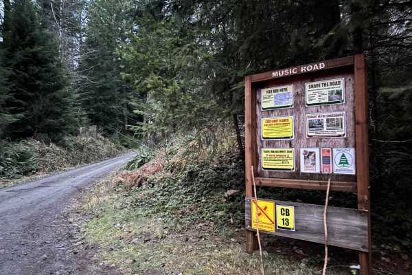
Trail Overview
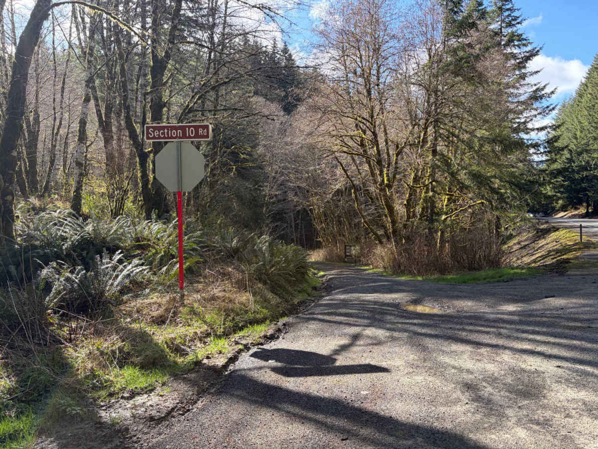
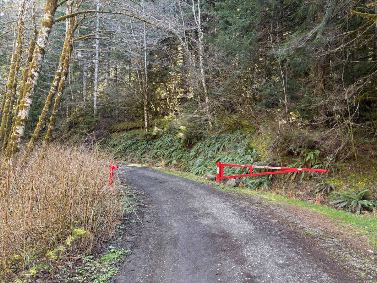
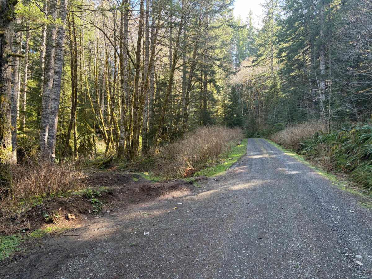
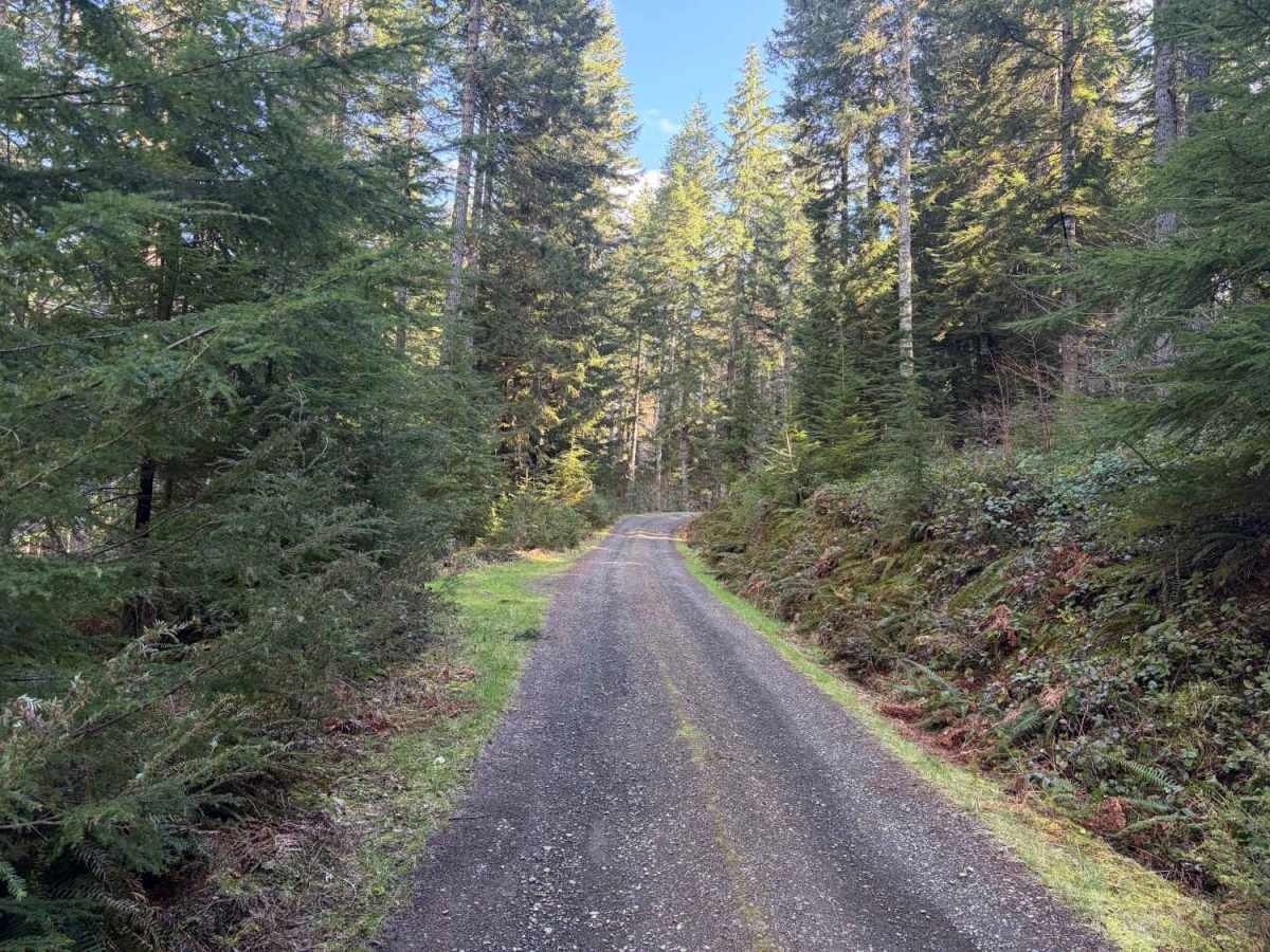
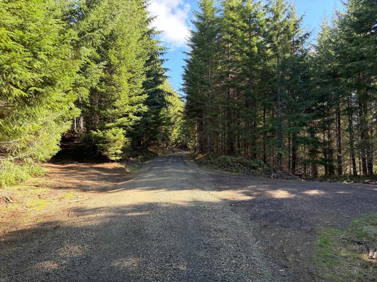
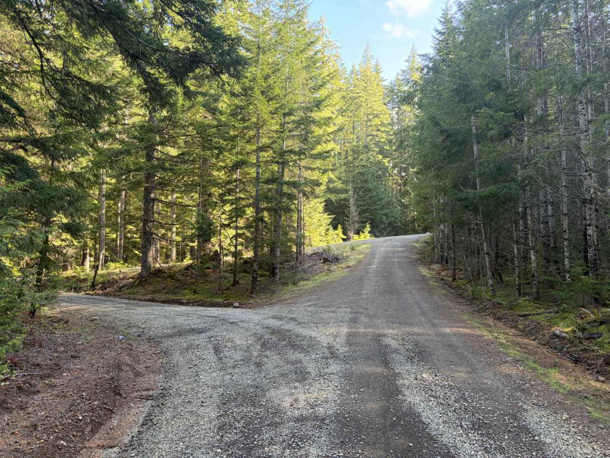
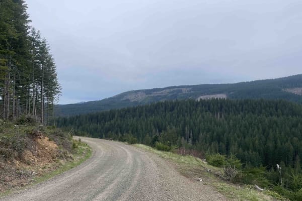
From US Highway 26 (Sunset Highway), just west of milepost 32, about 41 miles west of the Sylvan/Exit 71 area near Portland, turn left (south) onto Section 10 Road into a wide gravel pullout area, which is generally easier to spot than the nearby Salmonberry Road junction. The road immediately heads south and uphill on gravel and dirt into the forest, crossing Salmonberry Road, then proceeding south/uphill through wooded terrain, passing minor spur roads while climbing over ridges that approach 2,200 feet in elevation. The forest road network here is a maze with overlapping names, so careful attention to the map is key.
Difficulty
Section 10 Road is a maintained forest road surfaced primarily with gravel and dirt. The initial and main segments are relatively smooth for a backcountry forest road, featuring occasional potholes, loose gravel, and minor washboarding that can develop over time.
History
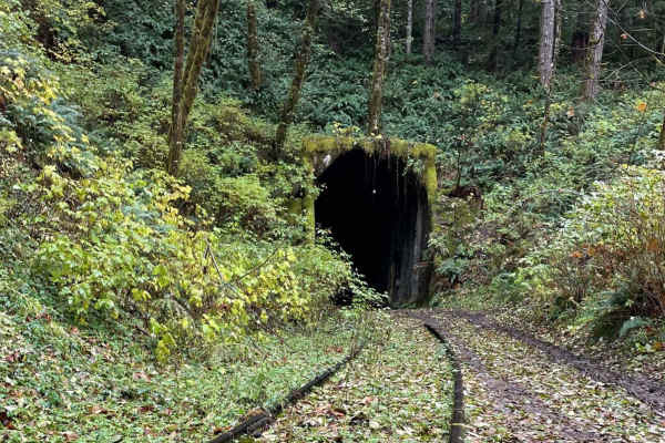
Section 10 Road and connecting routes provide indirect access to the historic Salmonberry River Canyon, once traversed by the Pacific Railway & Navigation Company (PR&N) line, completed in 1911. Nicknamed “Punk, Rotten & Nasty” due to frequent storm damage and harsh conditions, the railroad hauled timber from the Coast Range and carried passengers, but suffered repeated landslides and washouts, especially in 1913 and later major floods in 1996 and 2007 that led to its eventual abandonment.