
Dirt Bike Trails
Near Walker Lake, Nevada
Explore All Dirt Bike Trails Near Walker Lake, Nevada
Dirt Bike Trails Near Walker Lake, Nevada
Discover the best dirt bike trails near you. Browse trail maps, check difficulty ratings, and find your next adventure — whether you're looking for a quick ride or an all-day expedition.
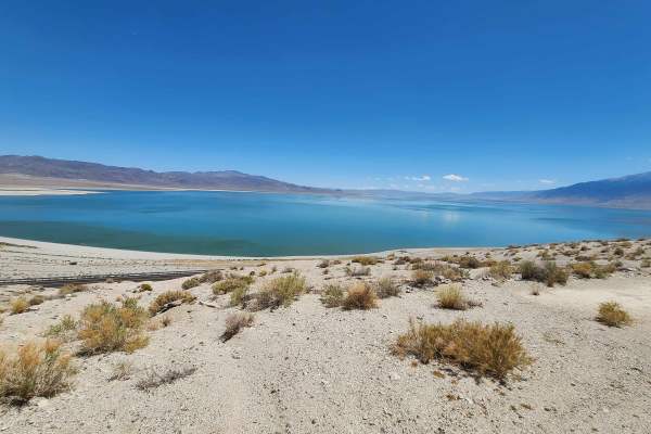
Walker Wassuk Ride
This trail wanders through the Wassuk Mountain Range, connecting the East Walker River to Walker Lake. Starting this route in the West at the Pitchfork Ranch, Nevada State Park, the first miles will be on a graded dirt road. Soon, you will turn East toward Walker Lake, and the trail becomes more c...
Learn more about Walker Wassuk Ride
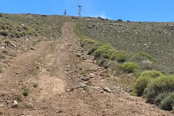
Bald Mountain
This eight-mile trail is a long and fairly steep climb to the top of one of the highest peaks in the area. It can be considered s a side trip off of the Walker Wassuk Ride, and the view of Walker Lake and the surrounding area makes it well worth the effort for a lunch stop to enjoy the endless view ...
Learn more about Bald Mountain
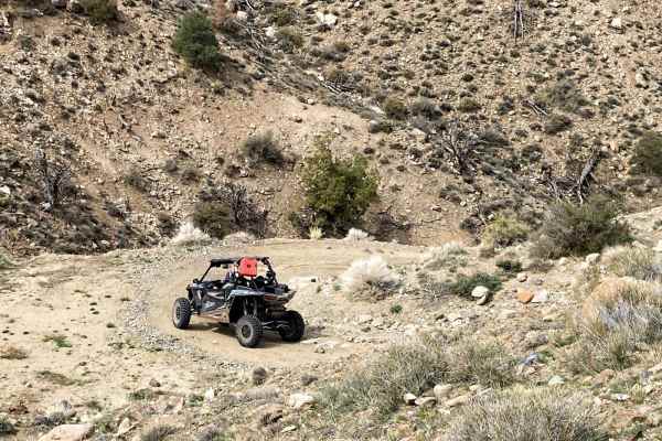
River End Road Spring
Also named River End Road K or 42765K, this road takes you down a wash that ends at the East Walker River. Alongside the river at the base of a hillside is a hot spring pool lined with concrete and stones. You will descend over one thousand feet in its 6 miles going through off-camber, steep, and na...
Learn more about River End Road Spring
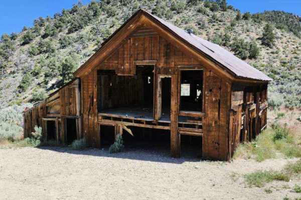
Pine Grove Summit
This trail is best driven in the summer and fall. There will be mud and snow in the winter and most likely into the spring as well. Also, check the weather report prior to attempting, as a significant part of the trail is subject to flash-flooding. Either side of this trail has an adequate staging a...
Learn more about Pine Grove Summit
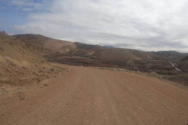
Hawthorne-Fletcher Rd/42028
This main trail, located alongside the East Walker River, is a well-maintained/graded road that traverses through some stunning Nevada landscape. Something this trail has to offer is the Walker River State Recreation Area, which has a seasonal campground and what the fisherman calls "The Elbow"--loo...
Learn more about Hawthorne-Fletcher Rd/42028
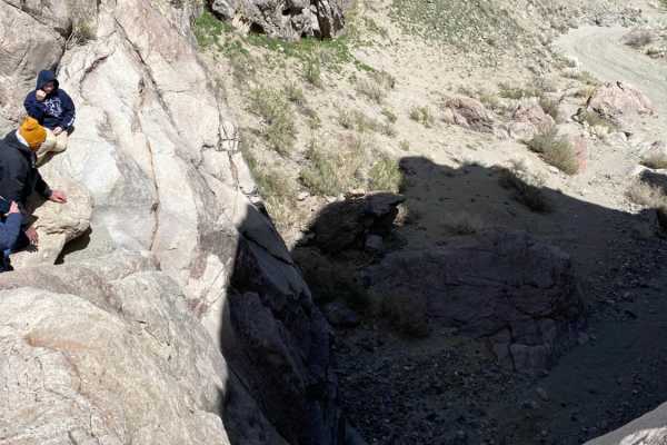
Pine Grove Connector ATV
Pine Grove Connector ATV is a short but highly challenging 0.7-mile route designed for advanced offroaders seeking to navigate extremely rugged, impassable-to-most terrain in the Pine Grove area. The trail begins at approximately 5,036 feet of elevation and rises to 5,148 feet, starting as a flat sa...
Learn more about Pine Grove Connector ATV
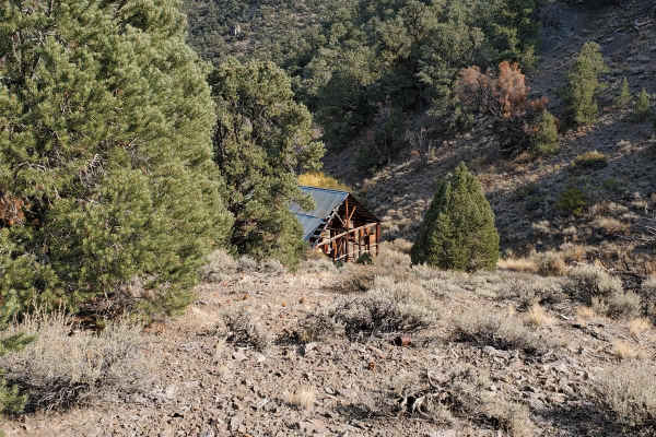
Masonic Mine Road
Masonic Mine Road offers offroaders and history buffs an accessible but scenic route through the historic Masonic Mining District in the Bodie Hills of Mono County, California. This 8.6-mile trail climbs from a minimum elevation of 5,766 feet up to 7,711 feet, providing expansive views of the surrou...
Learn more about Masonic Mine Road
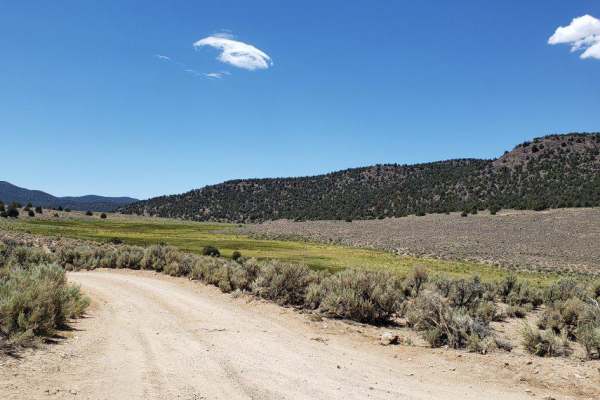
Desert Creek Loop
Short loop following Desert Creek between Smith Valley, NV and Bridgeport, CA. Several campgrounds are located along the creek, and there's good fishing and hiking nearby. The road is mostly one vehicle wide along the creek and ranges from hard packed dirt to loose rocks and gravel. There are 6 wate...
Learn more about Desert Creek Loop
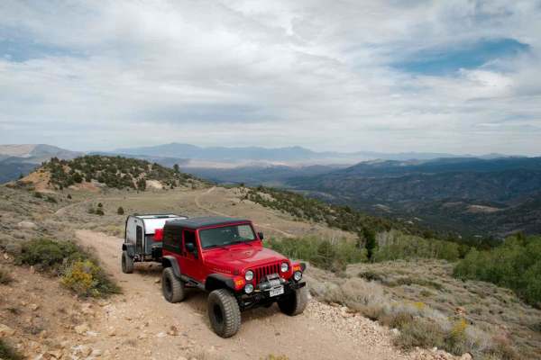
Mount Patterson
Mount Patterson is reached on the Nevada side using Star City Road, USFS road 32198 (Old Stage Road on some maps). The route starts at the Sweetwater Land & Cattle Co. Ranch on State Route 338 in the Sweetwater Valley, on Achiton Road (which turns into Star City Rd.). Always go slow and respectful b...
Learn more about Mount Patterson
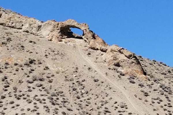
Backway to Wilson Spring Arch
Wilson Spring Arch is a good-sized natural arch. This route leads you into the Pine Nut Range. Besides the arch, you can reach sites like Pine Grove and Rockland. The trail starts following a creek bed, which is dry most of the time. After the creek bed, you climb over the hills into the next valley...
Learn more about Backway to Wilson Spring Arch
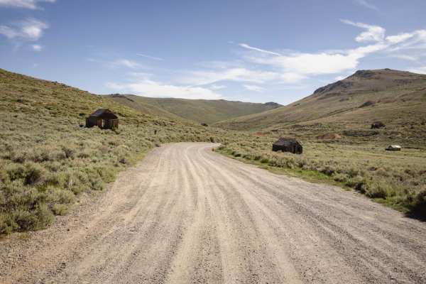
Bodie High Desert Highway
The Bodie High Desert Highway is a scenic and relatively easy off-pavement route that traverses the rolling high desert terrain just outside the historic Bodie Ghost Town area. This trail is often used to explore lesser-known mining remnants and access surrounding high desert plateaus with sweeping ...
Learn more about Bodie High Desert Highway
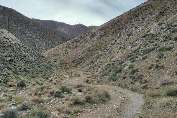
Hudson Pass
This trail is only 8.5 miles long, but the terrain is rough, making it feel like an accomplishment in a stock or lightly-modified vehicle. The trail can be driven in either direction, but it is probably more difficult going from the west to the east. The west side of the trail is mostly flat on a ro...
Learn more about Hudson Pass
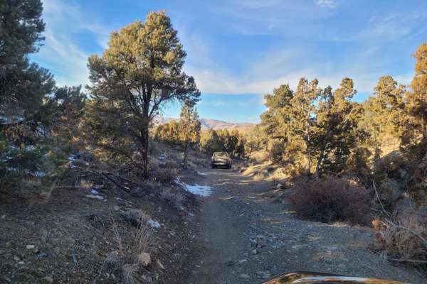
Wellington Hills Road - 42778
This out and back, double-track, dirt trail mostly accommodates one-way traffic. It begins at Eastside Lane and gradually rises in elevation into the Wellington Hills, located in Toiyabe National Forest. There are vistas of Antelope Valley and the snow-capped Sierra Nevada mountain range to the east...
Learn more about Wellington Hills Road - 42778
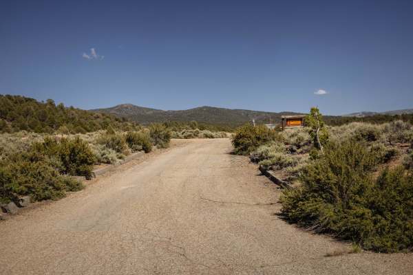
Bodie Ghost Town
This moderately challenging 23.5-mile backcountry trail is ideal for history enthusiasts and offroaders seeking a scenic route through the rugged Bodie Mountains to the famous Bodie Ghost Town. Starting near the Bridgeport Reservoir at an elevation of 6,516 feet, the track climbs steadily through th...
Learn more about Bodie Ghost Town
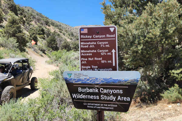
Rickey Canyon - BLM P-11
Where the P-11 trail crosses the peak of Bald Mountain at 9200 feet, you might think you were on top of the world. In any direction you look, the view is exceptional. But the views along the way are only part of the fun. From steep rocky climbs to small spring-fed mud bogs, overgrown water crossings...
Learn more about Rickey Canyon - BLM P-11
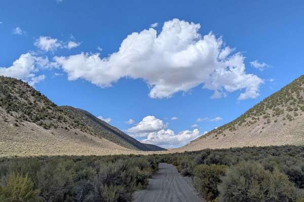
Larkin Lake
This sand and pumice trail is one vehicle wide and lined with brush, offering 360-degree views of hills and mountains, including the Eastern Sierras and the Bodie Mountain area. The trail climbs 200 feet and drops 200 feet into a valley and meadow over just over 5.6 miles. The route leads to Larkin ...
Learn more about Larkin Lake
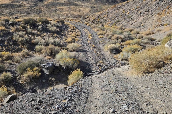
Rattlesnake Canyon
This route takes you from the Mina area to Little Huntoon Valley. It is easy and can be completed in dry conditions with a 2WD full-size vehicle. You cross Garfield Flat where Aerojet General uses the dry lakebed for a test facility. After the dry lakebed, you can follow Rattlesnake Flats Road for a...
Learn more about Rattlesnake Canyon
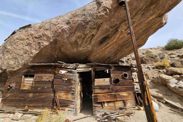
Cabin Under a Rock
This trip starts you at the Marrietta site with some ruins in various steps of decay. There are a few people that live there, watch your speed and dust. The whole area around Marietta is the Nation's first formally recognized Wild Burro Range. The 68,000-acre range is managed for between 78-104 wild...
Learn more about Cabin Under a Rock
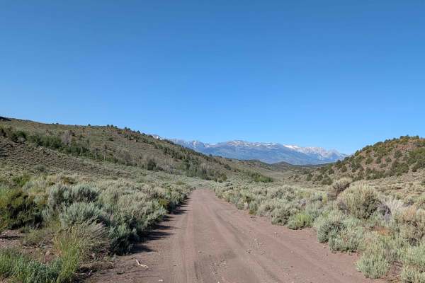
Aurora Canyon Road
This trail is located near the historic Bodie Ghost Town and starts near Bridgeport, California, climbing up almost 2000 feet into the mountains along Aurora Canyon. The route travels primarily through BLM land with some sections of private property along the way, so staying on the established trail...
Learn more about Aurora Canyon Road
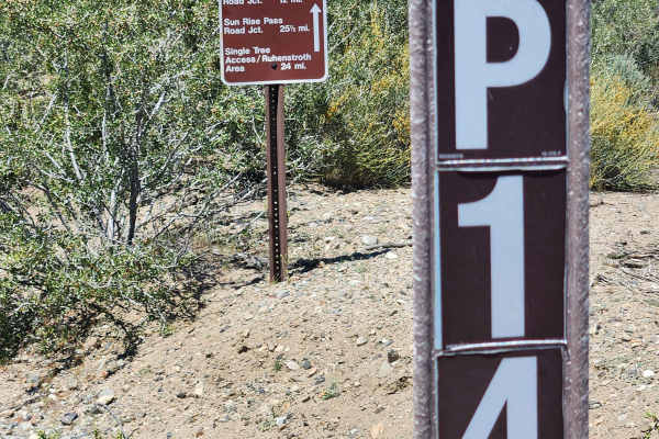
Pine Nut Valley Road - BLM P-14
Traveling 26 miles through the heart of the Pine Nut Mountains, this one-lane mountain trail has it all. It features a 4000-foot elevation change, high-altitude views, Pinion Pine and Juniper forests, open valleys, water crossings, rocks, sand, dirt, off-camber sections, a rock garden, and trenche...
Learn more about Pine Nut Valley Road - BLM P-14
ATV trails near Walker Lake, Nevada
Explore ATV-friendly trails near you. These trails are accessible for vehicles up to 50 inches wide, perfect for ATVs and smaller off-road machines.
Walker Wassuk Ride
This trail wanders through the Wassuk Mountain Range, connecting the East Walker River to Walker Lake. Starting this route in the West at the Pitchfork Ranch, Nevada State Park, the first miles will be on a graded dirt road. Soon, you will turn East toward Walker Lake, and the trail becomes more c...
Learn more about Walker Wassuk Ride
Bald Mountain
This eight-mile trail is a long and fairly steep climb to the top of one of the highest peaks in the area. It can be considered s a side trip off of the Walker Wassuk Ride, and the view of Walker Lake and the surrounding area makes it well worth the effort for a lunch stop to enjoy the endless view ...
Learn more about Bald Mountain
River End Road Spring
Also named River End Road K or 42765K, this road takes you down a wash that ends at the East Walker River. Alongside the river at the base of a hillside is a hot spring pool lined with concrete and stones. You will descend over one thousand feet in its 6 miles going through off-camber, steep, and na...
Learn more about River End Road Spring
Pine Grove Summit
This trail is best driven in the summer and fall. There will be mud and snow in the winter and most likely into the spring as well. Also, check the weather report prior to attempting, as a significant part of the trail is subject to flash-flooding. Either side of this trail has an adequate staging a...
Learn more about Pine Grove Summit
UTV/side-by-side trails near Walker Lake, Nevada
Find UTV and side-by-side trails near you. These trails accommodate vehicles up to 60 inches wide, ideal for UTVs, side-by-sides, and wider off-road rigs.
Walker Wassuk Ride
This trail wanders through the Wassuk Mountain Range, connecting the East Walker River to Walker Lake. Starting this route in the West at the Pitchfork Ranch, Nevada State Park, the first miles will be on a graded dirt road. Soon, you will turn East toward Walker Lake, and the trail becomes more c...
Learn more about Walker Wassuk Ride
Bald Mountain
This eight-mile trail is a long and fairly steep climb to the top of one of the highest peaks in the area. It can be considered s a side trip off of the Walker Wassuk Ride, and the view of Walker Lake and the surrounding area makes it well worth the effort for a lunch stop to enjoy the endless view ...
Learn more about Bald Mountain
River End Road Spring
Also named River End Road K or 42765K, this road takes you down a wash that ends at the East Walker River. Alongside the river at the base of a hillside is a hot spring pool lined with concrete and stones. You will descend over one thousand feet in its 6 miles going through off-camber, steep, and na...
Learn more about River End Road Spring
Pine Grove Summit
This trail is best driven in the summer and fall. There will be mud and snow in the winter and most likely into the spring as well. Also, check the weather report prior to attempting, as a significant part of the trail is subject to flash-flooding. Either side of this trail has an adequate staging a...
Learn more about Pine Grove Summit
The onX Offroad Difference
onX Offroad combines trail photos, descriptions, difficulty ratings, width restrictions, seasonality, and more in a user-friendly interface. Available on all devices, with offline access and full compatibility with CarPlay and Android Auto. Discover what you're missing today!
Open Trail Map