Trail Overview
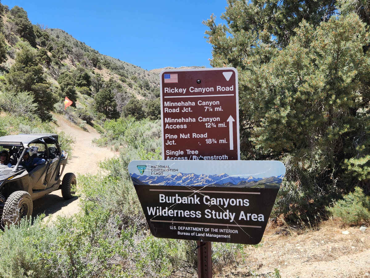
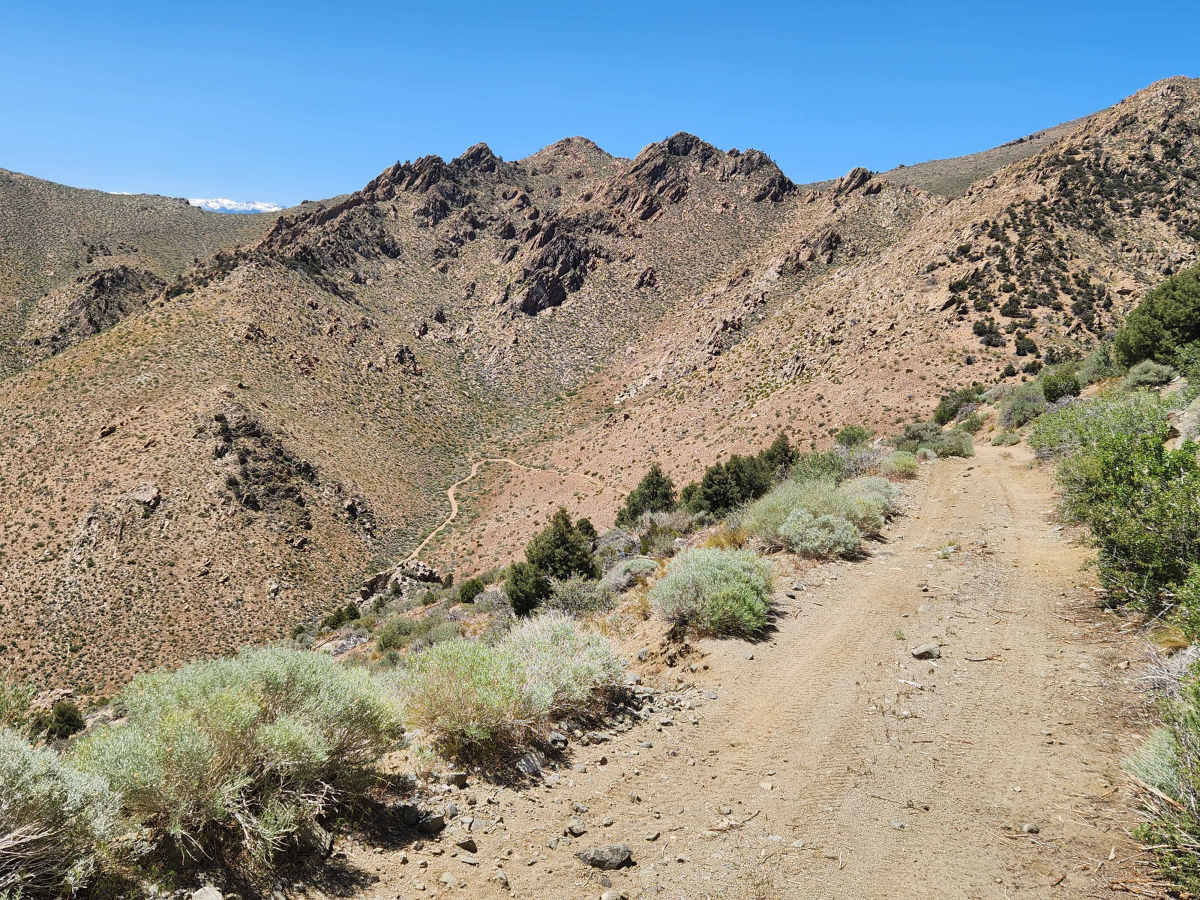
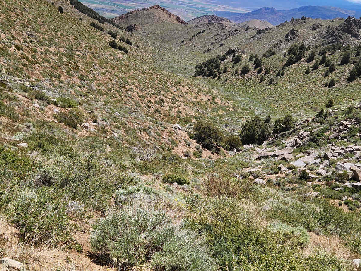
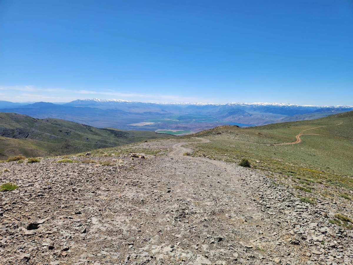
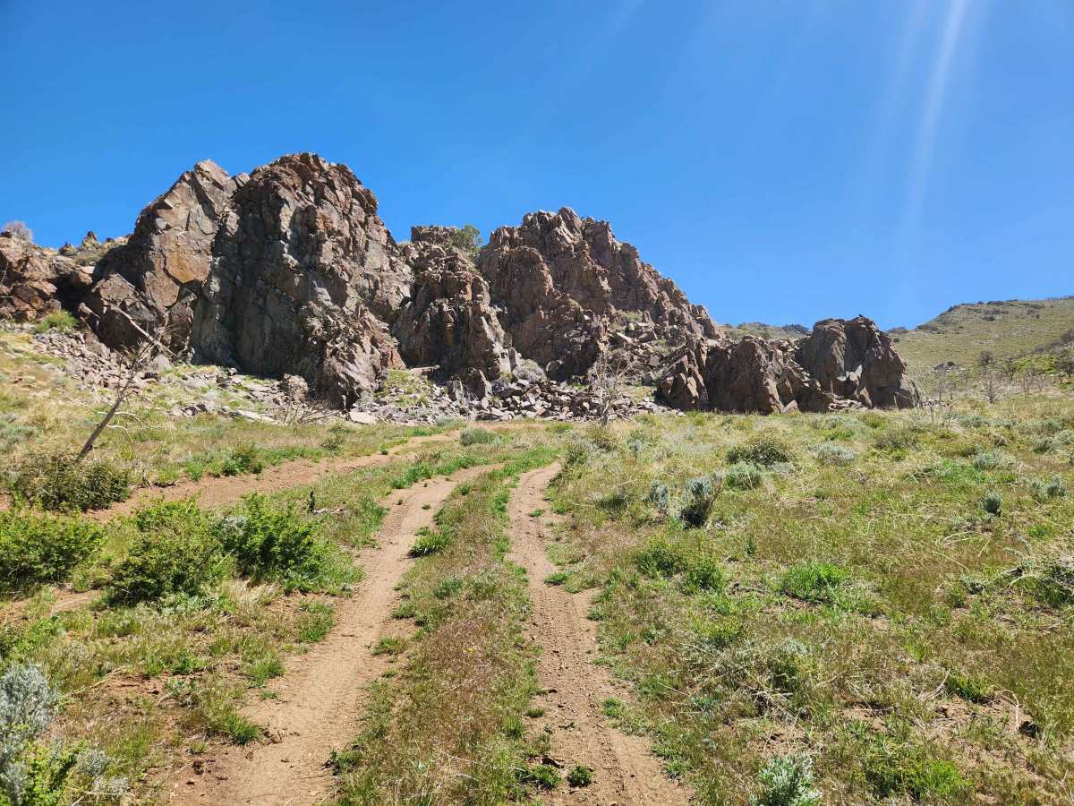
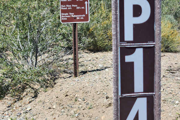
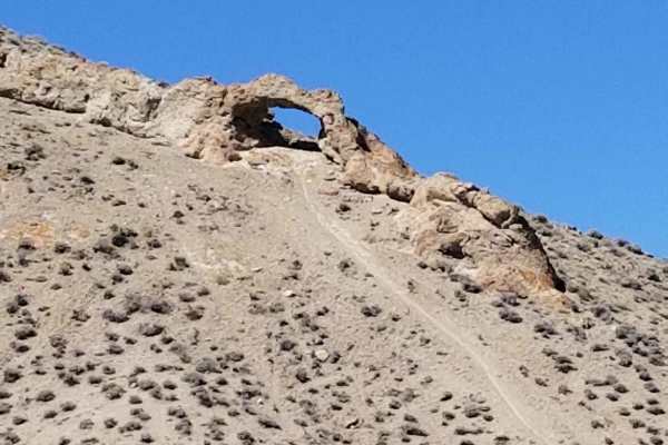
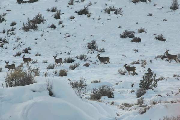
Where the P-11 trail crosses the peak of Bald Mountain at 9200 feet, you might think you were on top of the world. In any direction you look, the view is exceptional. But the views along the way are only part of the fun. From steep rocky climbs to small spring-fed mud bogs, overgrown water crossings, trenches, and a shelf road with switchbacks, the variety of trail conditions will keep you busy. Travel in either direction is equally interesting and twenty miles of trail enjoyment. Combine this trail with several other Pinenut Mountain trails, and you will have a day-long journey. The Southeast end of the trail is in Wellington, and the Northwest end is in Gardnerville. In Gardnerville, you can stage at the Single Tree Staging area, as shown on your onX map. In Wellington, staging is not as convenient, but parking is allowed on the roads approaching the entrance to Rickey Canyon. I do not recommend traveling this trail in the winter. At the higher altitudes, the snow will be deep and the trail hazards hidden.
Difficulty
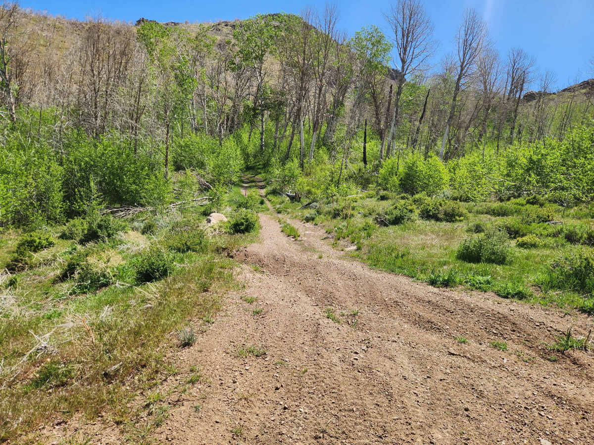
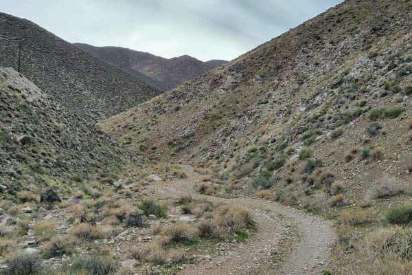
Sections of this trail are narrow, and full-size vehicles will rub the brush along the trail. As of this writing (July 2026), there are some trenches to straddle that may be difficult for narrow vehicles. Several of the mud bogs and wet trails have ledges to negotiate. My preferred direction of travel is North to South because from that direction you descend through Rickey Canyon. Rickey Canyon is a narrow shelf road with few places to pass another vehicle. When you descend, you have an overview of most of the trail and can more easily spot oncoming vehicles, an advantage you are not afforded when you ascend.

 Offroad