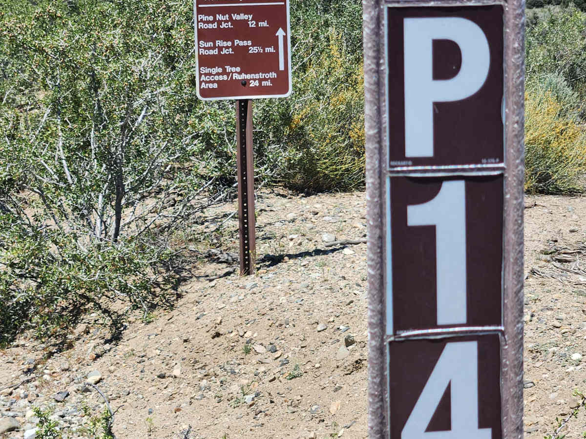
Trail Overview
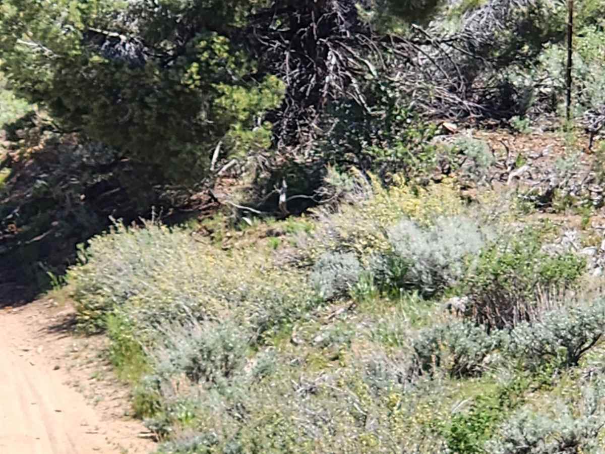
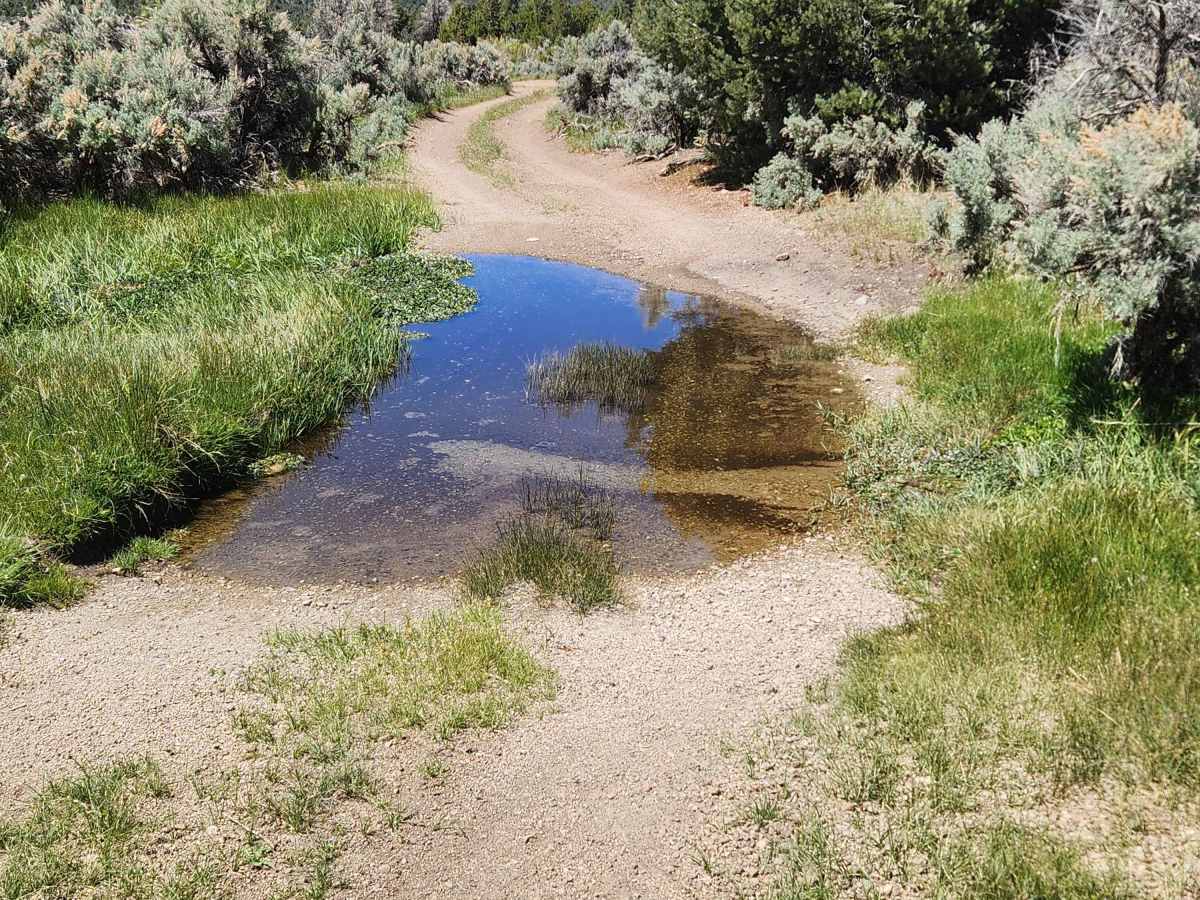
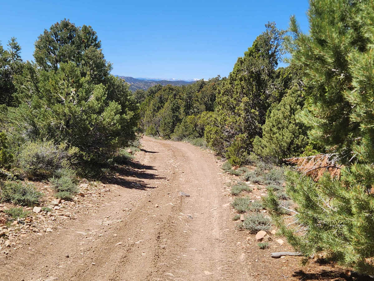
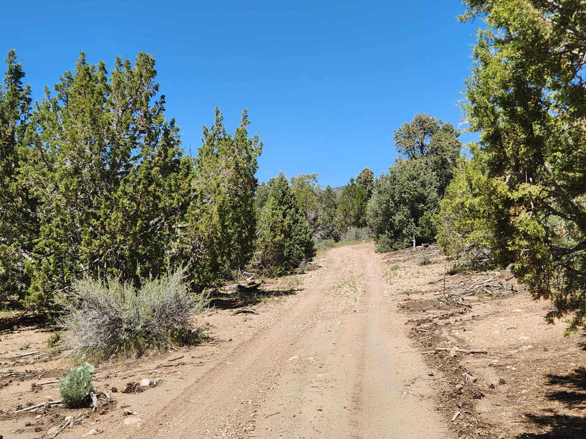
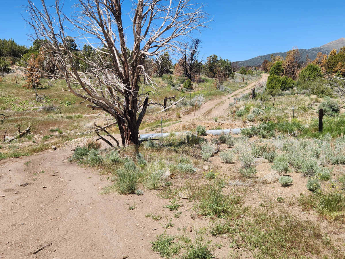
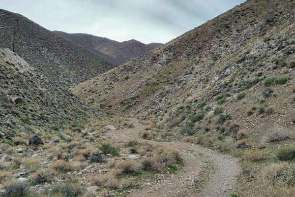
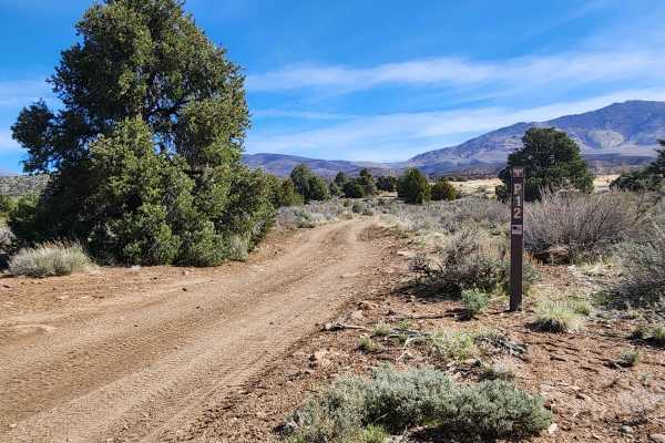
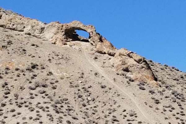
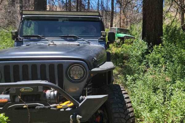
Traveling 26 miles through the heart of the Pine Nut Mountains, this one-lane mountain trail has it all. It features a 4000-foot elevation change, high-altitude views, Pinion Pine and Juniper forests, open valleys, water crossings, rocks, sand, dirt, off-camber sections, a rock garden, and trenches to navigate. Travel in either direction is equally interesting. Dozens of intersecting trails offer exploration opportunities. The views along the way are mostly of the Pine Nut Mountains, with glimpses of the Sierra Front and Smith Valley. A short side trip to Mount Siegel or Oreana Peak will provide stunning views of the Carson Valley, the Sierra Front, Smith Valley, Mason Valley, and the mountain ranges to the East. The Northern half of the trail, starting at Sunrise Pass, is the easiest. As you travel South, the challenges increase. At the Southern end of this trail is Red Canyon and the entrance to Wellington, in Smith Valley. This is an often-used trail with many blind corners, so watch for oncoming traffic.
Difficulty
The Northern end of this trail, from Sunrise Pass to P-16 trail, is an easy ride through the forest. If that is what you prefer, I recommend traveling South from Sunrise Pass to P- 16, then turning West into the Carson Valley. South of P-16 becomes more challenging at times, but all within the "5" trail rating. Additionally, there is some vegetation intruding into the trail. I strongly recommend NOT riding the Southern end of the trail in the winter months. The snow will stop you on some of the climbs. Through the Southern valleys in winter, the trail will be covered with snow and indistinct, and the trenches are hidden. Some who have tried have become the subject of rescue operations.
History
There are several old mining sites along the way.