Trail Overview
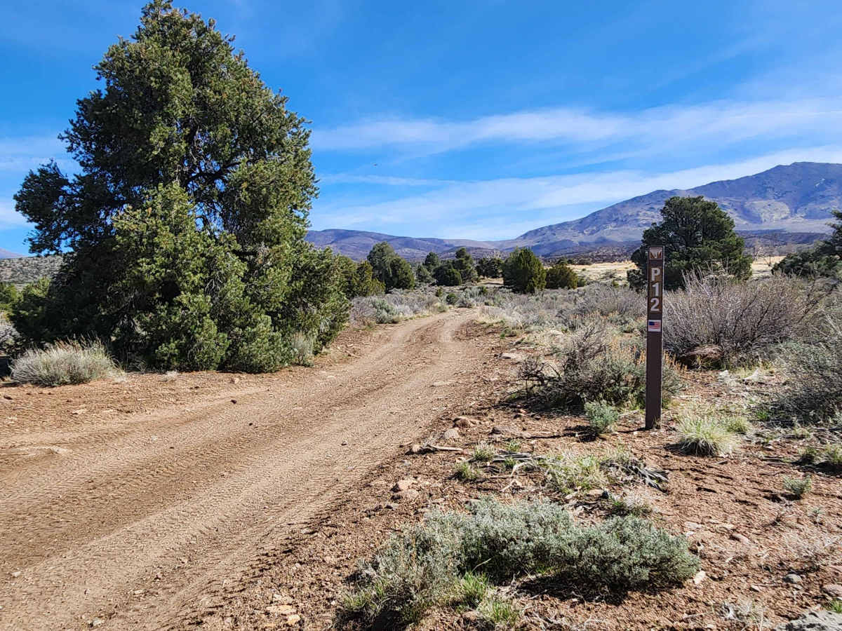
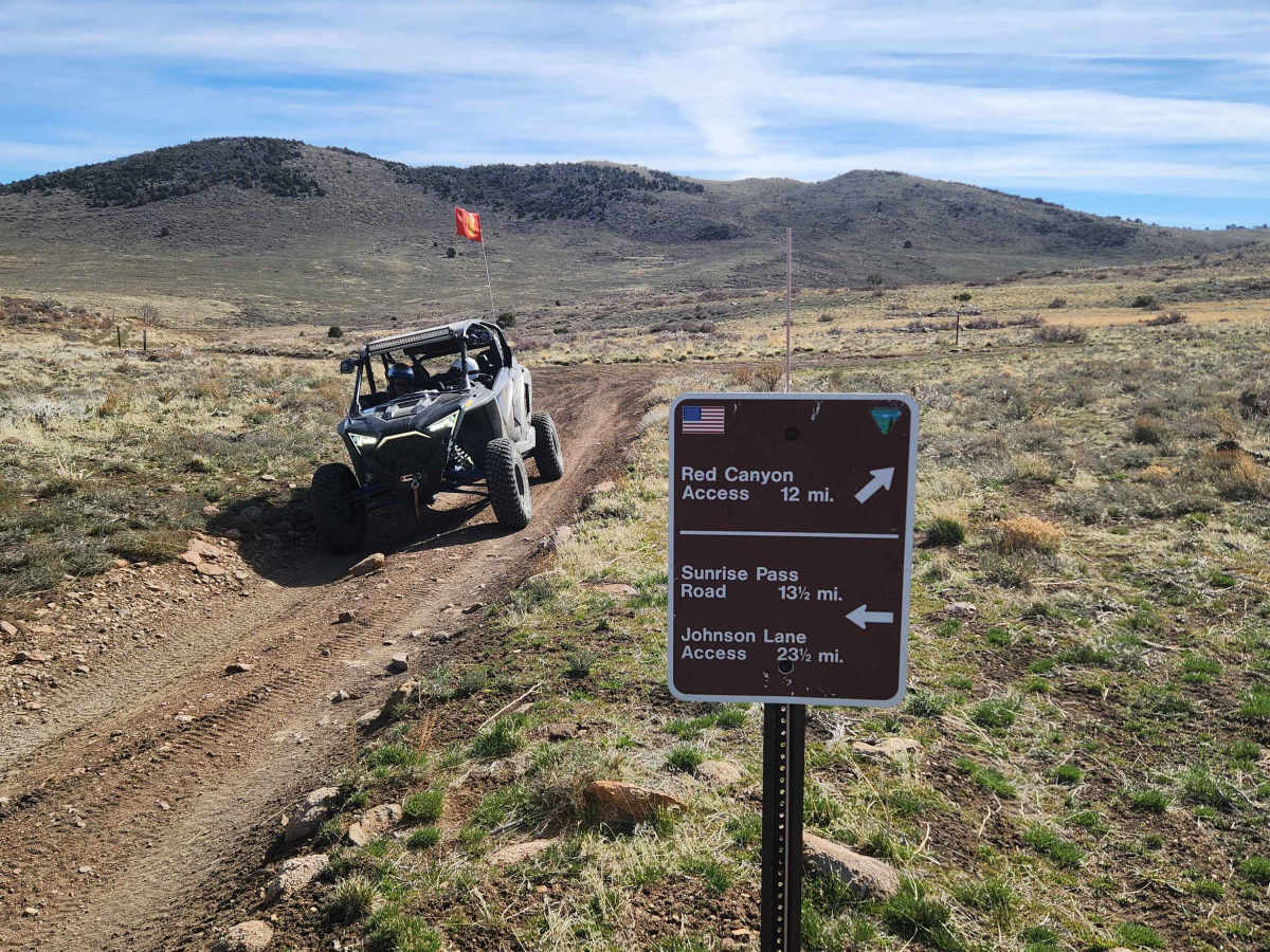
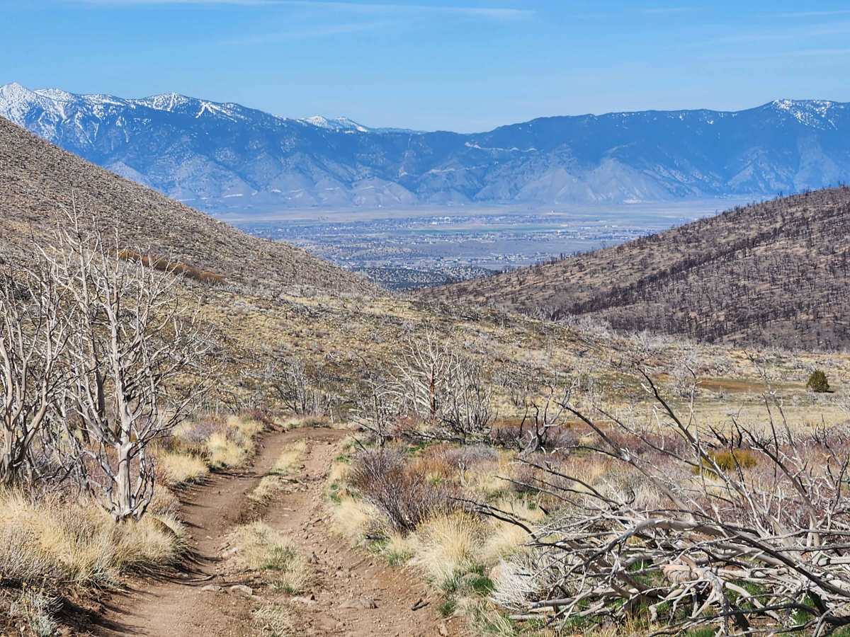
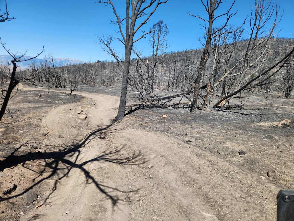
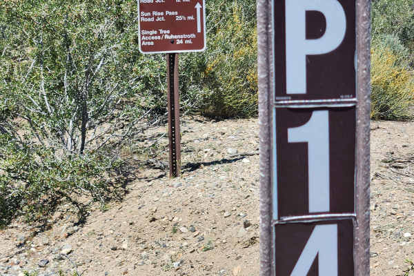
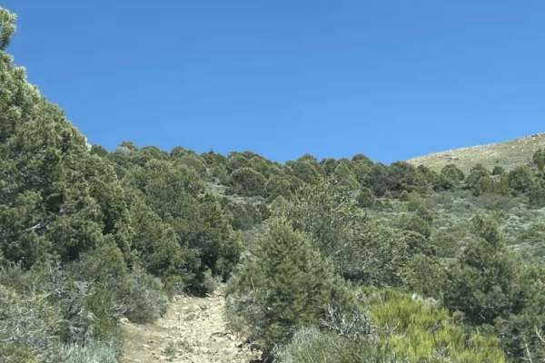
Traveling East from the Carson Valley, Lone Pine Canyon Road (BLM P-12) will take you into the Southern portion of the Pine Nut Mountains. It is a one-lane winding mountain trail with some moderate challenges. It gains altitude as you go East into the Pine Nuts. The trail once was lined with Juniper trees and Pinion Pines, with some open areas. A wind-driven wildfire in June 2025 rendered the landscape a stark example of the devastation that follows a wildfire. Unlike most trails in the Pine Nuts, there are few trails running off from Lone Pine Canyon Road, but the trail itself is worth the journey. At the East end, the trail intersects with Pine Nut Valley Road (BLM P-14 ). There, you can turn North through Pine Nut Valley, ending up at Sunrise Pass Road, or you can head South for a more challenging trek to Red Canyon, passing Mount Siegal and Oreana Peak on the way, ending in Wellington, Nevada. The West end is at BLM P-10 Trail, close to civilization in Gardnerville, Nevada. You might ask, why all these "P" designations? The BLM has named these trails and has marked them with signs. Please refer to the pictures.
Difficulty
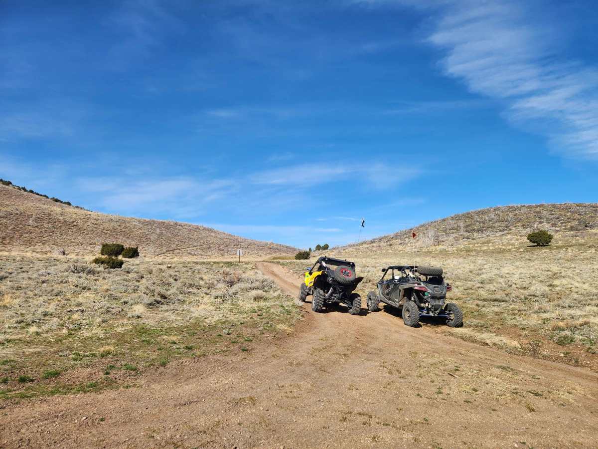
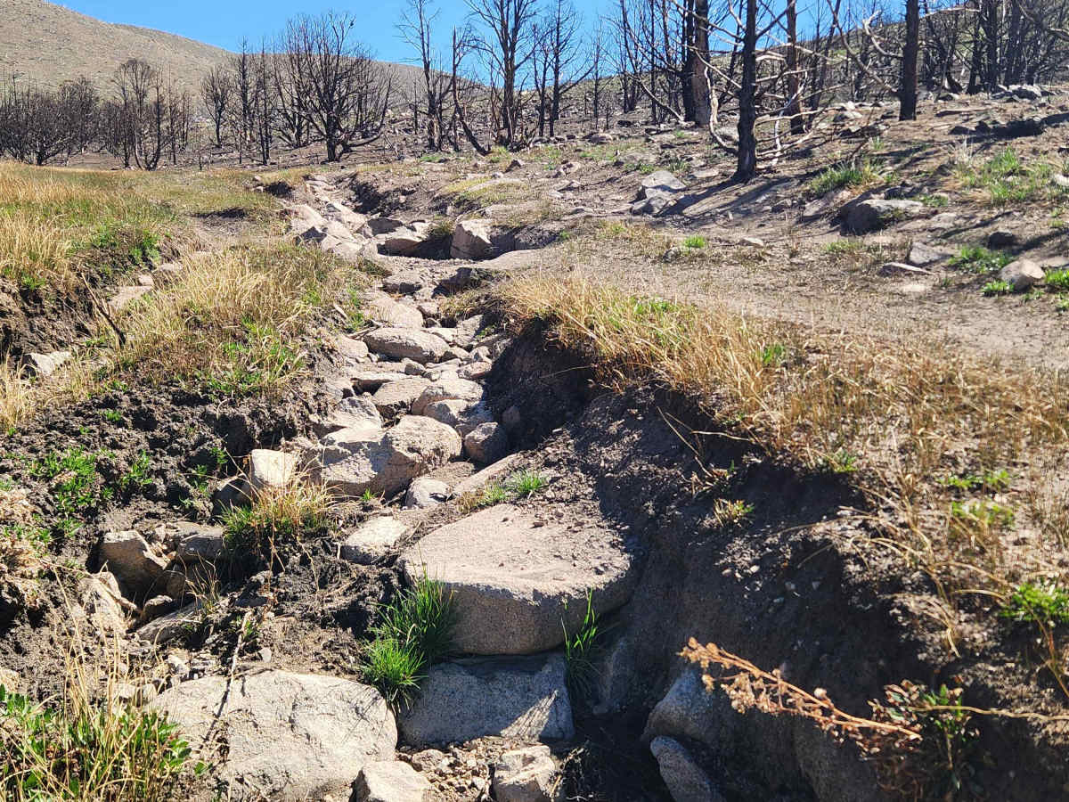
Most of Lone Pine Canyon Road is relatively easy, winding through the forest with no steep climbs. The difficult sections are the result of water erosion. The worst damage occurred a few winters ago, with runoff creating deep and wide trenches and some rocky washouts. The good news is, the worst sections are starting to wear in, and it looks like the trail gnomes have been at work performing improvements. The trail narrows in some places, but is adequate for full-size vehicles. Be advised that about a mile from the East end is an area, less than a quarter of a mile long, that is a mud bog in the winter and spring. Under normal conditions a SxS will travel this trail in 30 to 35 minutes, a 4x4 about 40 to 45 minutes.