Trail Overview
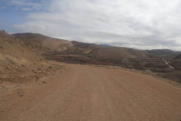
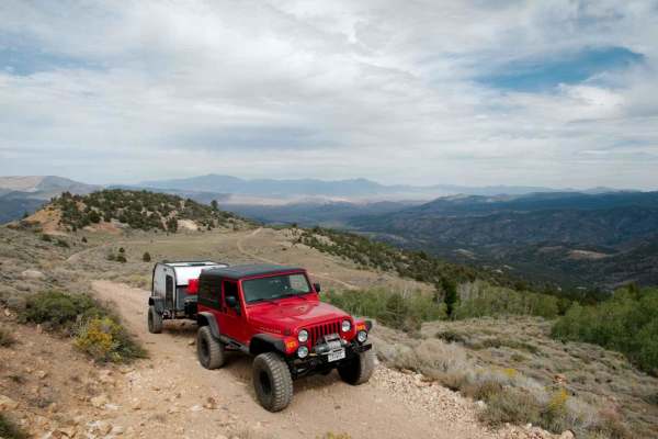
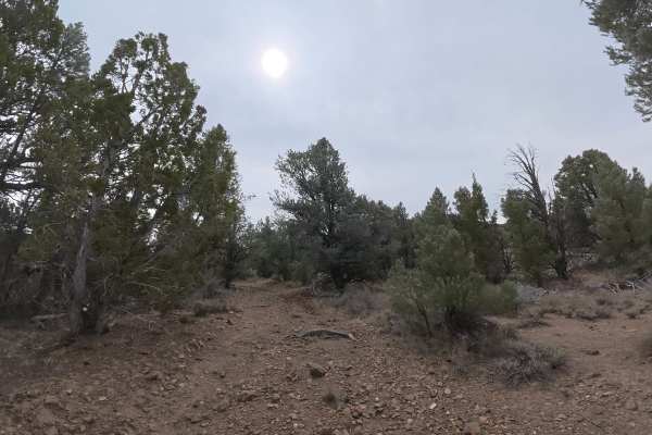
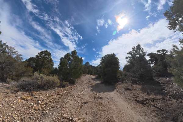
Masonic Mine Road offers offroaders and history buffs an accessible but scenic route through the historic Masonic Mining District in the Bodie Hills of Mono County, California. This 8.6-mile trail climbs from a minimum elevation of 5,766 feet up to 7,711 feet, providing expansive views of the surrounding high desert and rugged peaks. Rated a 2 out of 10, the route is technically straightforward with no major technical obstacles, making it suitable for most high-clearance four-wheel-drive vehicles and sturdy crossovers. However, the unpaved dirt surface is littered with sharp rocks, meaning robust all-terrain tires are highly recommended, and standard passenger vehicle tires are not suitable.
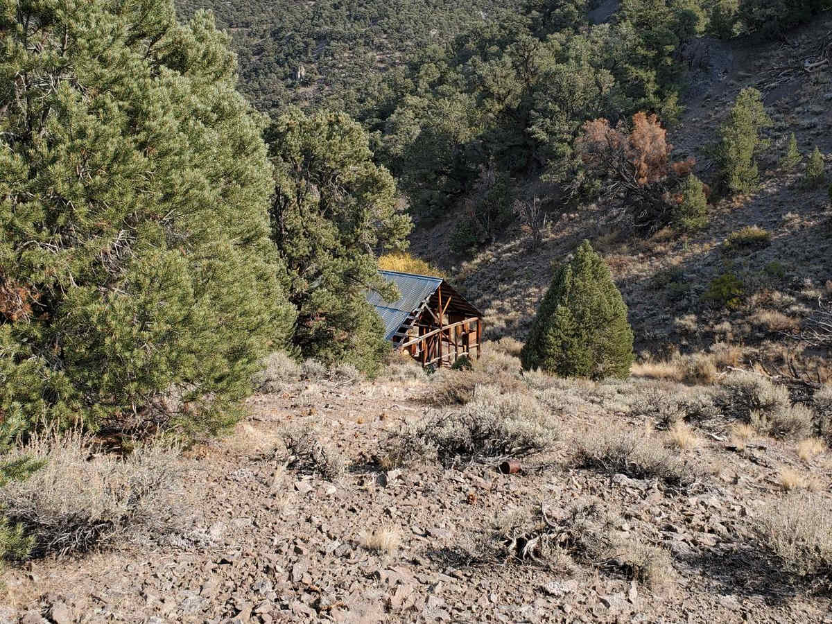
The trail features a cumulative elevation gain of approximately 2,100 feet with some steep gradients reaching up to 35 degrees on short stretches. Along the way, travelers can explore the ruins of the Masonic ghost town and its historic gold mines, which flourished in the early 1900s. A historical plaque situated near the parking area provides context about the site's rich mining heritage. While the main route to the mine is easy to navigate, those with capable high-clearance vehicles can continue past the mine site to explore interconnecting trails like Maybelle Mine Road, creating a scenic loop back to Hawthorne-Fletcher Road.
History
The Masonic Mining District was established in the Bodie Hills after gold was discovered here in the 1860s, with peak activity occurring in the early 1900s when the town of Masonic boasted a population of about 1,000 residents. A historical plaque located on a rock on the right side of the entrance to the parking area provides visitors with details on the history and preservation of the mine and ghost town.