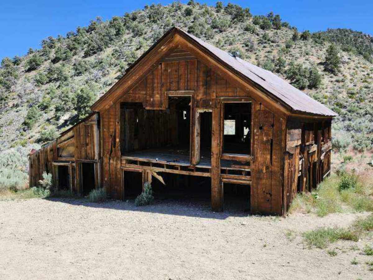
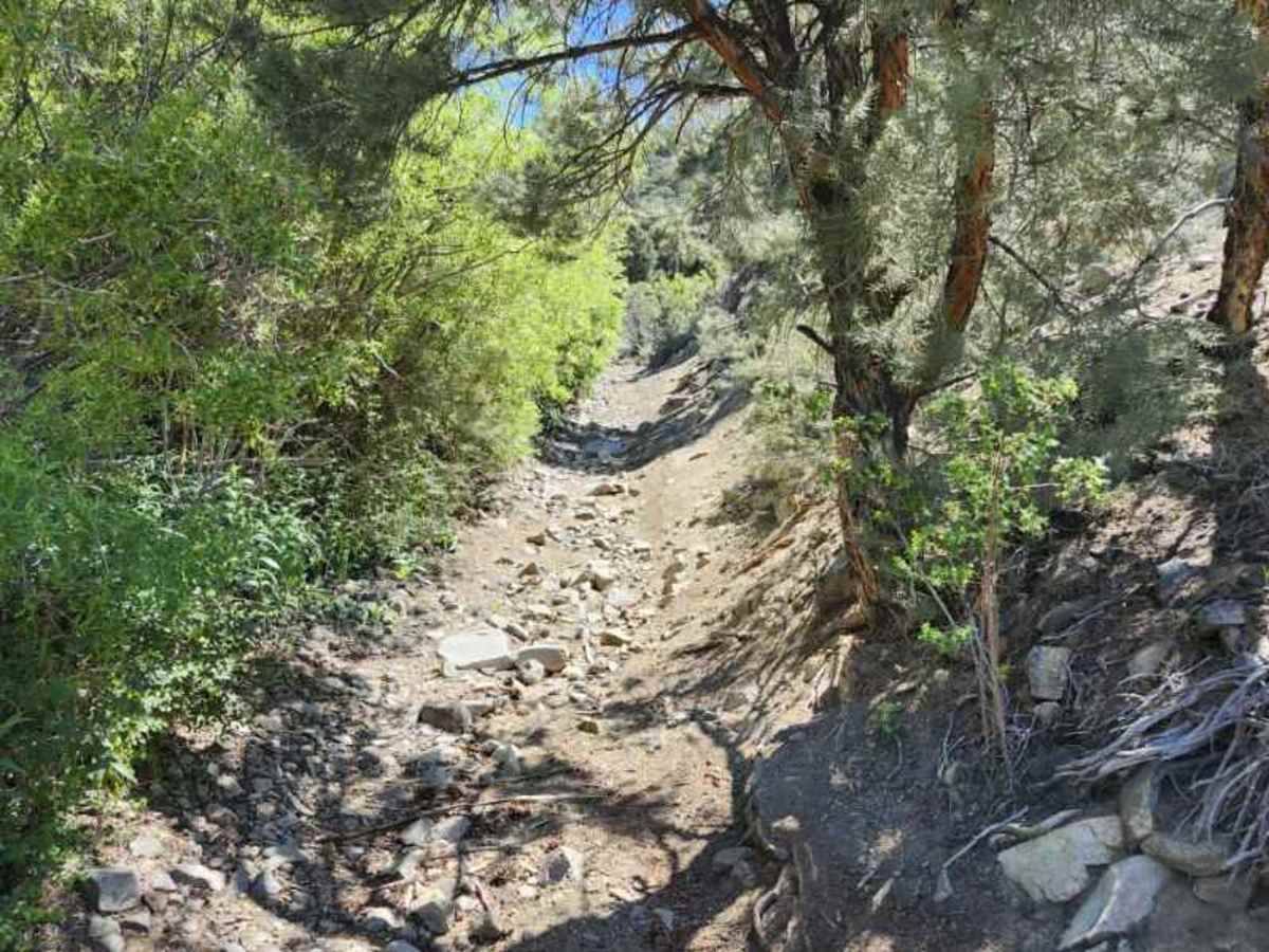
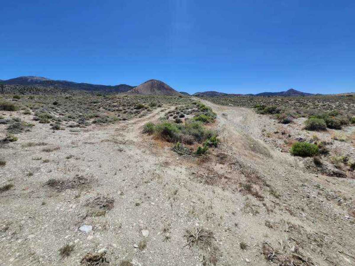
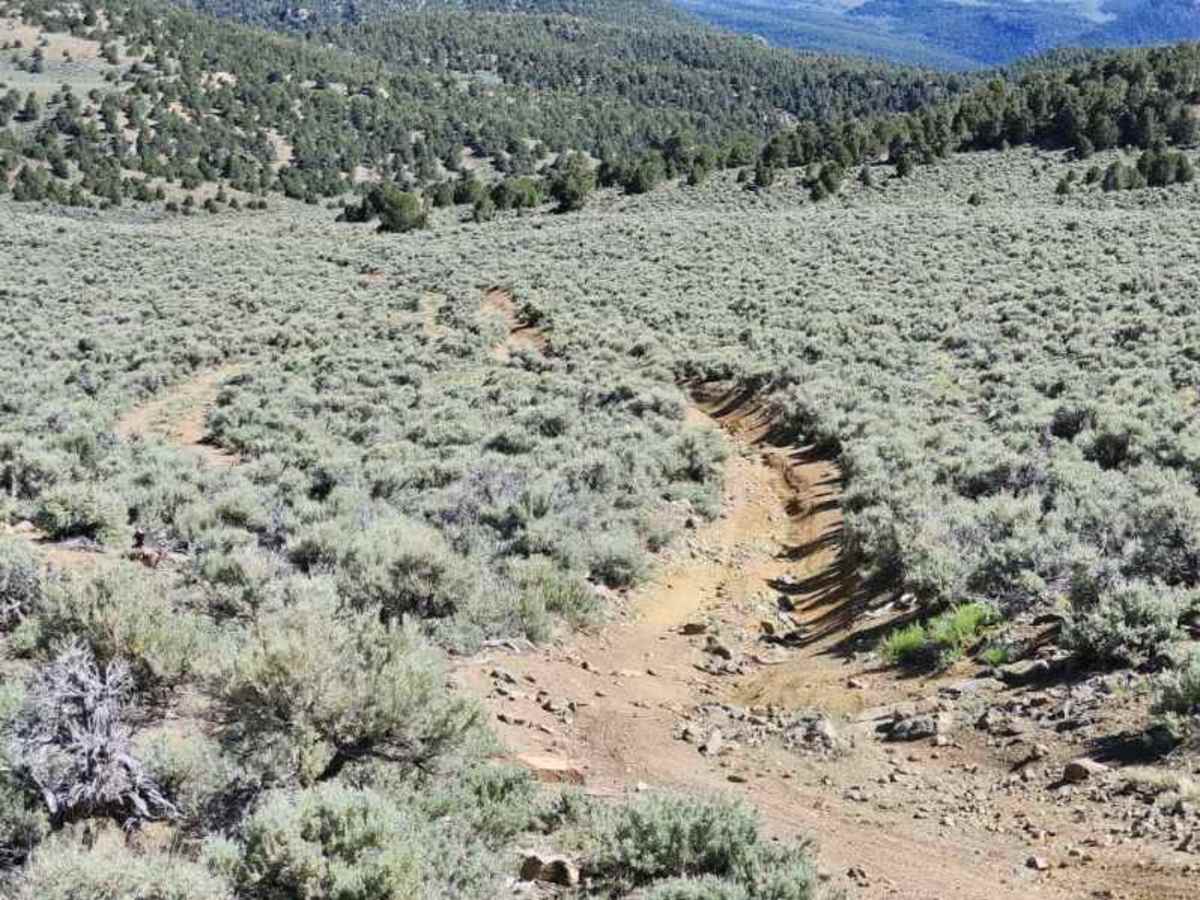
Trail Overview
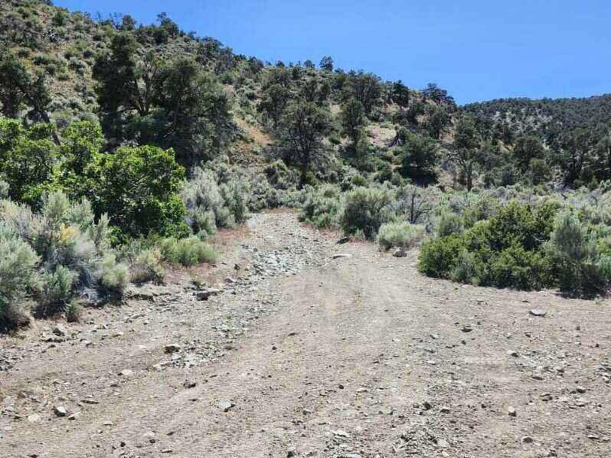
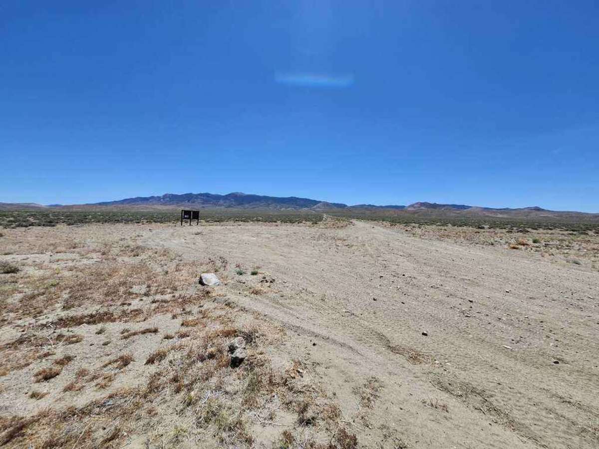
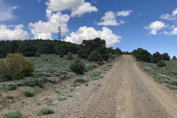
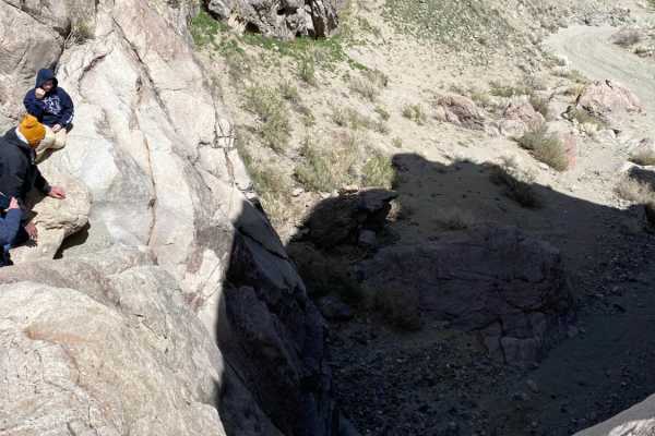
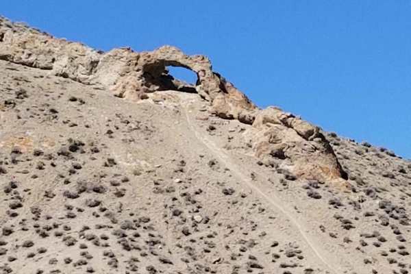
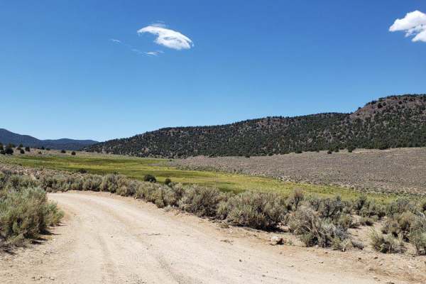
This trail is best driven in the summer and fall. There will be mud and snow in the winter and most likely into the spring as well. Also, check the weather report prior to attempting, as a significant part of the trail is subject to flash-flooding. Either side of this trail has an adequate staging area, whether it’s the Pine Grove Road side or the Highway 338 side at the beginning of Sand Canyon. When taking the road up to Pine Grove, the road is about a 4 rating, but there are a couple of obstacles that are probably a 5. There is a bypass that is about a 3-4 rating, and it goes around all the difficult parts. The road is dirt and rock on the Pine Grove side, and longer vehicles will have difficulty with some of the tight turns. After going through the Pine Grove mining site, the road narrows and becomes more difficult as it heads towards Pine Grove Summit. This is the most difficult part of the trail, and it lasts about three miles. The trees encroach on the road and will significantly rub the sides of most vehicles. There are numerous off-camber areas, washouts, large rocks in the road, and there are a couple of water crossings even in the summer. At one point, the water is flowing on the road, which is all rock on the canyon floor. There is a small rock step that must be traversed, and this is probably the most difficult obstacle. The road between Pine Grove and Pine Grove Summit is a solid 5 rating with a couple of obstacles that may be a 6. Long-wheelbase vehicles will definitely struggle through this section, and there are not many places to turn around. There are a few bypasses for the obstacles, some having no bypass at all. After reaching Pine Grove Summit, the trail rating drops to a 3-4, with sand becoming the new challenge. Once the trail drops into Dead Ox Canyon, the road is called Pine Grove Rockland Road, and going south through the canyon makes it less difficult because it is downhill through the sand. This road ends at a road called Bald Mountain Trail, which will turn towards the west; then it’s about a half mile before turning north on National Forest Development Road 031. This road is mostly sand with a few ruts, and it’s rated a 3. The trail then goes up to a summit that has good views of the east side of the Sierra Nevada Mountains. After that, it turns into Sand Canyon, which ends or begins at a staging area just off Highway 338, about 60 miles north of Bridgeport, California, and 15 miles south of Smith Valley, Nevada.
Difficulty
The most difficult section of this trail is about three miles, and it is narrow with over-grown vegetation in some places. There are several off-camber areas, washouts, large rocks in the road, and a couple of small water crossings. There are a few places to turn around, and a couple of obstacles do not have bypasses. The hardest obstacle is a couple of short rock steps with water running down them and no bypass.