
Dirt Bike Trails
Near Tetonia, Idaho
Explore All Dirt Bike Trails Near Tetonia, Idaho
Dirt Bike Trails Near Tetonia, Idaho
Discover the best dirt bike trails near you. Browse trail maps, check difficulty ratings, and find your next adventure — whether you're looking for a quick ride or an all-day expedition.
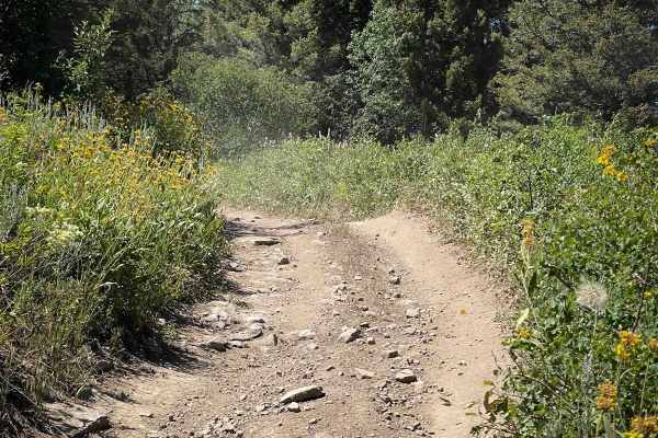
Nickerson Grove
Nickerson Grove is an easy ATV trail that starts at the Long Ridge Motorized Trailhead, which is accessed through private land--riders should stay on the road and respect property boundaries. The two-track trail begins at the end of the road, at a small area that can be used for parking a couple of ...
Learn more about Nickerson Grove
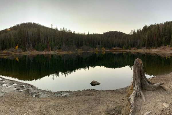
Packsaddle Lake
This route takes you to a natural lake named Packsaddle Lake from the northern edges of the Big Hole Range. There are amazing views of the Tetons along the way, including views across the Snake River Plain and of Big Southern Butte, the Menan Buttes, the Bitterroot, Lemhi, and Lost River Ranges. Thi...
Learn more about Packsaddle Lake
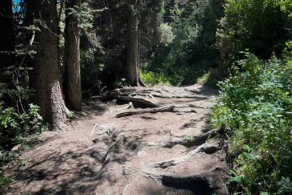
South Horseshoe
South Horseshoe is a nearly 6-mile-long dirt bike trail that offers a scenic and flowing ride, well-suited for newer riders. The route features curvy, mountain bike-style singletrack with smooth dirt, benched corners, wide lines, and minimal rock obstacles. While there are occasional roots and small...
Learn more about South Horseshoe
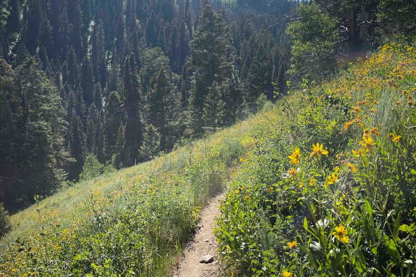
Mahogany
Mahogany is a fun and flowy trail for almost 5 miles in the Big Hole Mountains, which is pretty easy, with a few exposed sections and root obstacles that make it more of a moderate trail. It has several mild switchbacks near the west end that are pretty wide, gradual, and smooth. Expect moderate exp...
Learn more about Mahogany
Twin Creek
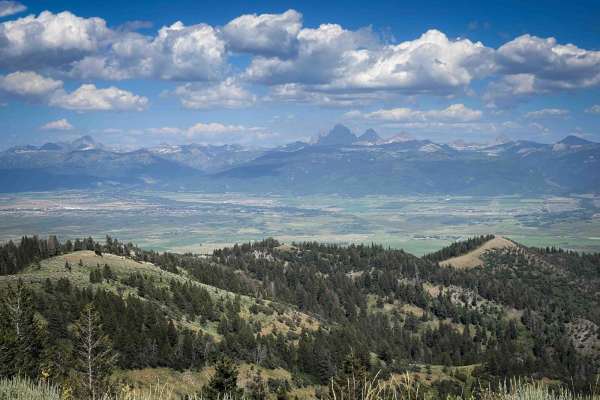
This 2.2-mile trail is an intermediate route with incredible views of the Teton Mountain Range. It climbs up steeply from the intersection with Mahogany and South Horseshoe for the first quarter mile, with lots of little rocks in the trail, topping out at a stunning view of the Tetons. From there, y...
Learn more about Twin Creek
Elk Flat Relay Station - FS 227
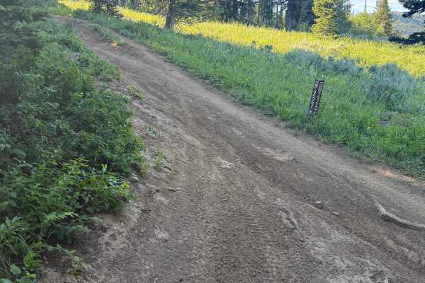
Starting in the southeast and heading northwest, this trail climbs almost the entire way. The first part of the trail is fun and flowing. There is a lot of soil. After a short break in climbing, the trail really takes a turn up. The quads have found this part of the single-track trail and torn it up...
Learn more about Elk Flat Relay Station - FS 227
South Fork Canyon Creek - FS 226
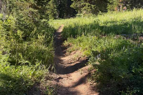
Starting from the east and heading west, this trail meanders through gorgeous meadows. Be sure to take some time to check out the wildflowers. After some distance, the trail meets up with the creek and begins to drop in elevation. Numerous bench-cut trail sections overlook the creek. The elevation c...
Learn more about South Fork Canyon Creek - FS 226
Calamity Creek - FS 224
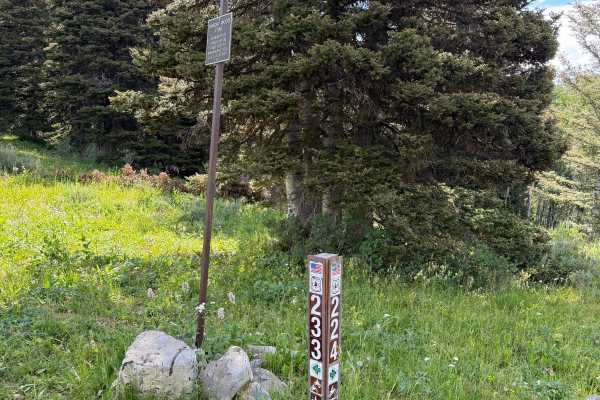
This is a fun, flowing trail with moderate difficulty. There are no major obstacles on this trail. Just enjoy the ride through beautiful pine forests, check out the wildflowers, and keep an eye out for wildlife. This would be a great trail for someone new to single track; there are a few roots and w...
Learn more about Calamity Creek - FS 224
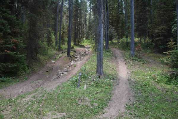
Henderson Cutoff
This is a 0.7-mile ATV trail that connects Wet Henderson Motorized Trailhead to the Patterson Motorized Trailhead. It's mostly used by dirt bikers to connect single-track zones because it doesn't connect to any other ATV trails. On the north end, there's a tricky rocky climb at the beginning, where ...
Learn more about Henderson Cutoff
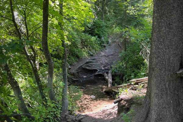
Wet Henderson
This is a short out-and-back trail from the Wet Henderson Motorized Trailhead in the Targhee National Forest, gaining about 700 feet elevation over 1.5 miles from east to west. The legal trail dead ends in the forest, so it should be ridden as an out-and-back. It has some moderate technical challeng...
Learn more about Wet Henderson
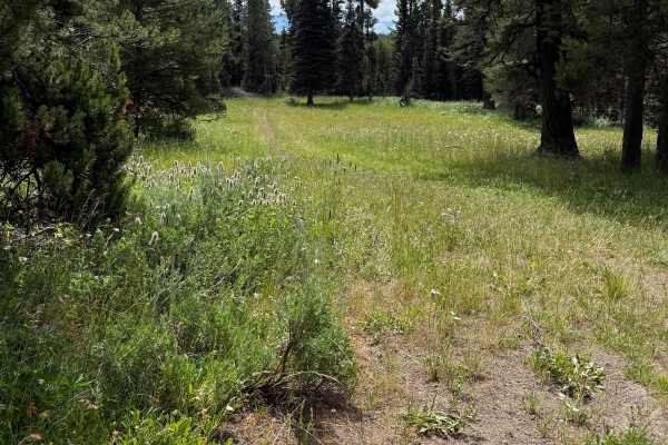
Graham Springs - FS 222
This is one of the most enjoyable sections of the trail. Traveling from north to south, the route begins in an open meadow where the track is faint but easy to follow before entering a stunning pine forest. From there, the trail winds gracefully through the trees, offering a peaceful and scenic ride...
Learn more about Graham Springs - FS 222
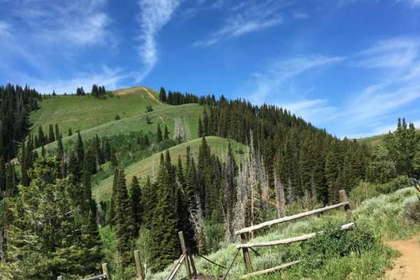
Big Hole Crest
This route traverses the bench above Driggs and Victor from just below Garns Mountain to Rocky Peak with gorgeous views of the Tetons. The route is very green and lush, with lots of wildflowers and wildlife. The Northern portion of this route just below Garns is very flowy and not technical but quic...
Learn more about Big Hole Crest
Garnes Mountain
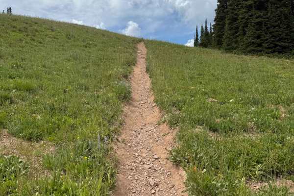
Depending on which direction this is ridden will contribute to the difficulty rating. When riding from the "South Horseshoe/Relay Ridge" side of the trail system, the trail follows the ridge and flows through a few meadows before summiting Garnes Peak. There is not a clear trail at the top, but plea...
Learn more about Garnes Mountain
Patterson
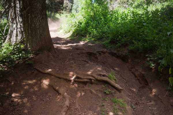
From the south end, this trail starts out more like a two-track, which is very wide, going along a forested hillside, on dusty, dry dirt. There are several shallow water crossings in the beginning. As it continues north, it starts to have a few root obstacles in the trees. The root obstacles are pre...
Learn more about Patterson
Dry Henderson
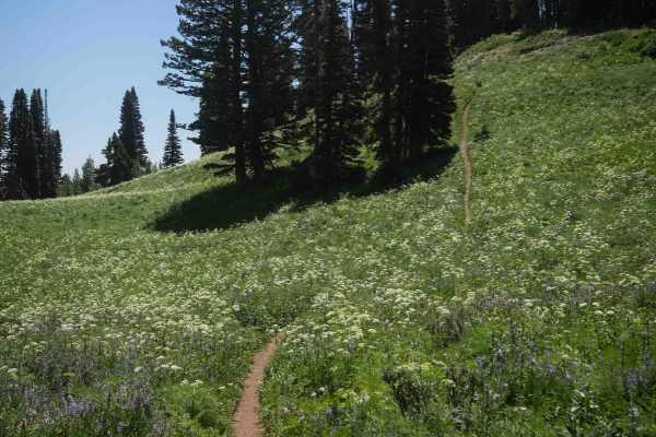
Dry Henderson is a 4.7-mile-long dirt bike trail in the Targhee National Forest with intermediate technical challenges and sections that would be difficult for newer riders. The trail stays fairly narrow throughout, with tight side-hilling along a densely brush-covered hillside where vegetation can ...
Learn more about Dry Henderson
Thousand Springs
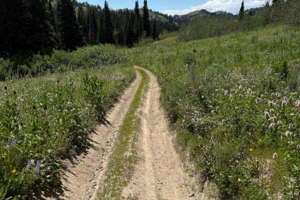
Thousand Springs climbs up to Piney Pass and is a nice ride that has (as the name suggests) several springs and a nice mountain lake. This is a beginner-friendly trail for both Dirt bikes and ATVs, with most of the trail being dirt with a few minor obstacles. This is a popular trail as it is used to...
Learn more about Thousand Springs
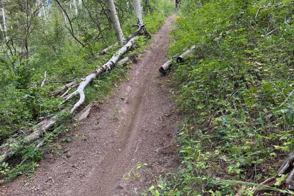
Carlton Cutoff - FS 060
This trail features significant elevation gain and offers an engaging climb when traveled from west to east. The ascent includes numerous switchbacks, loose rolling rocks, and a gravelly soil surface that can reduce traction, requiring careful throttle control and steady momentum. Despite the challe...
Learn more about Carlton Cutoff - FS 060
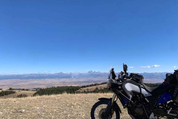
Relay Ridge
Want one of the best views of the Tetons outside Grand Teton National Park? Relay Ridge is the ride just for that. You start near Green Canyon Hot Springs without no idea of how picturesque of a view you are about to experience climbing to just under 9k feet (one of the highest points in the Big Hol...
Learn more about Relay Ridge
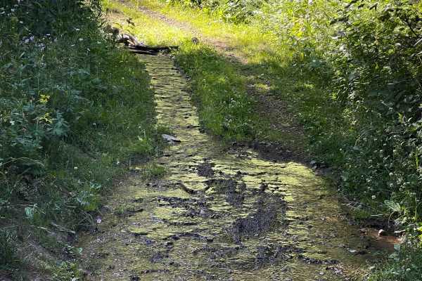
North Grove Creek
North Grove Creek is a lightly used 1-mile ATV trail located in Targhee National Forest, offering a bit of exploratory mileage from the Grove Creek Motorized Trailhead. The southern entrance is marked only by a wooden post with no sign, and the trail begins faint, grassy, and slightly overgrown. The...
Learn more about North Grove Creek
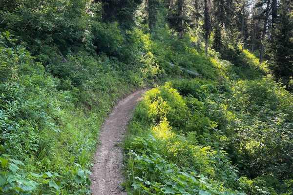
South Grove Creek
South Grove Creek is a 2-mile-long dirt bike single track in the Targhee National Forest, climbing nearly 1,000 feet from east to west between the Grove Creek Motorized Trailhead and the Big Hole Crest Trail. The trail begins by paralleling a small creek, which sometimes spills onto the trail itself...
Learn more about South Grove Creek
ATV trails near Tetonia, Idaho
Explore ATV-friendly trails near you. These trails are accessible for vehicles up to 50 inches wide, perfect for ATVs and smaller off-road machines.
Nickerson Grove
Nickerson Grove is an easy ATV trail that starts at the Long Ridge Motorized Trailhead, which is accessed through private land--riders should stay on the road and respect property boundaries. The two-track trail begins at the end of the road, at a small area that can be used for parking a couple of ...
Learn more about Nickerson Grove
Packsaddle Lake
This route takes you to a natural lake named Packsaddle Lake from the northern edges of the Big Hole Range. There are amazing views of the Tetons along the way, including views across the Snake River Plain and of Big Southern Butte, the Menan Buttes, the Bitterroot, Lemhi, and Lost River Ranges. Thi...
Learn more about Packsaddle Lake
Henderson Cutoff
This is a 0.7-mile ATV trail that connects Wet Henderson Motorized Trailhead to the Patterson Motorized Trailhead. It's mostly used by dirt bikers to connect single-track zones because it doesn't connect to any other ATV trails. On the north end, there's a tricky rocky climb at the beginning, where ...
Learn more about Henderson Cutoff
Thousand Springs
Thousand Springs climbs up to Piney Pass and is a nice ride that has (as the name suggests) several springs and a nice mountain lake. This is a beginner-friendly trail for both Dirt bikes and ATVs, with most of the trail being dirt with a few minor obstacles. This is a popular trail as it is used to...
Learn more about Thousand Springs
UTV/side-by-side trails near Tetonia, Idaho
Find UTV and side-by-side trails near you. These trails accommodate vehicles up to 60 inches wide, ideal for UTVs, side-by-sides, and wider off-road rigs.
Relay Ridge
Want one of the best views of the Tetons outside Grand Teton National Park? Relay Ridge is the ride just for that. You start near Green Canyon Hot Springs without no idea of how picturesque of a view you are about to experience climbing to just under 9k feet (one of the highest points in the Big Hol...
Learn more about Relay Ridge
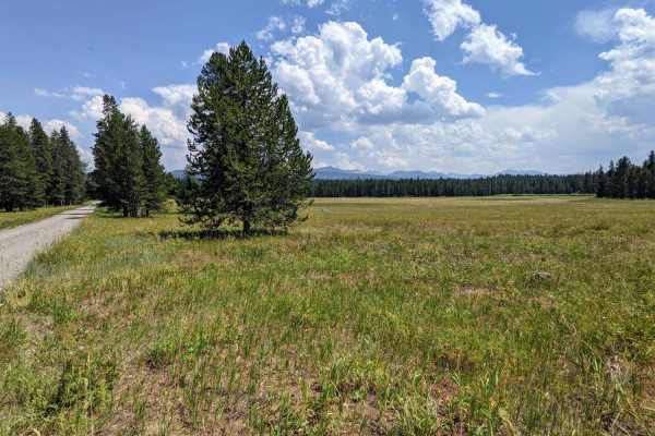
Jackass Loop Trail (FS 264)
Jackass Loop is a well-maintained two-way dirt road that crosses the Idaho-Wyoming state boundary in the Targhee National Forest. Running parallel to the Ashton-Flagg Ranch Road, the trail weaves through dense birch and pine trees that frequently give way to sprawling meadows and breath-taking views...
Learn more about Jackass Loop Trail (FS 264)
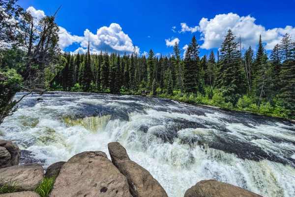
Sheep Falls
This trail winds along dirt roads headed to the remote corner of Yellowstone. But just before you reach the park is a trail that leads to a lesser-known gem. The first part of the trail is pretty easy and is just a gravel road. After turning off it becomes increasingly narrow and more complex as it ...
Learn more about Sheep Falls
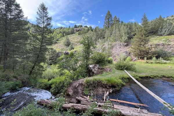
Webster Dam
This trail begins off of Browns road and the beginning section is the power line road, it is an out and back trail once you turn away from the power line road and begin the decent into Websters Dam. There is an abundance of ruts, washouts, steep climbs and descents as you make your way towards the d...
Learn more about Webster Dam
The onX Offroad Difference
onX Offroad combines trail photos, descriptions, difficulty ratings, width restrictions, seasonality, and more in a user-friendly interface. Available on all devices, with offline access and full compatibility with CarPlay and Android Auto. Discover what you're missing today!
Open Trail Map