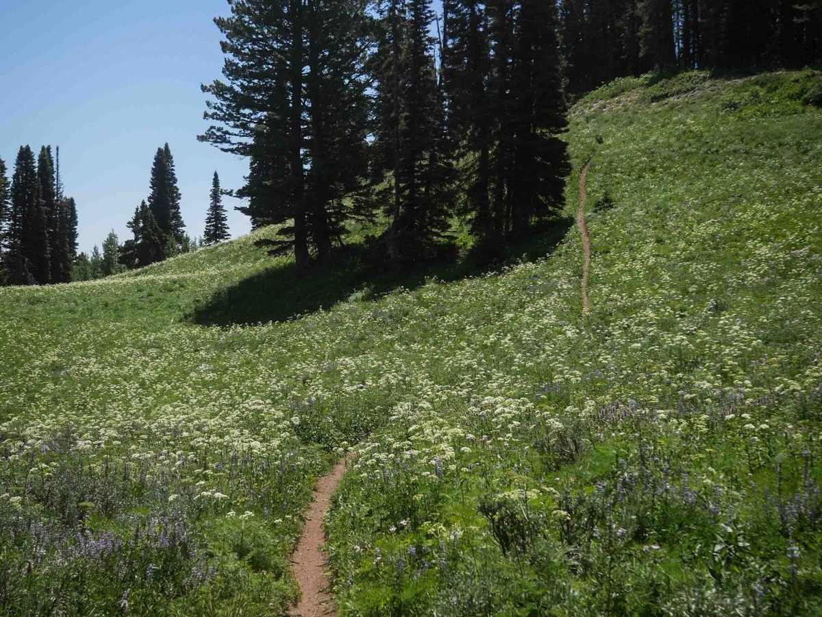
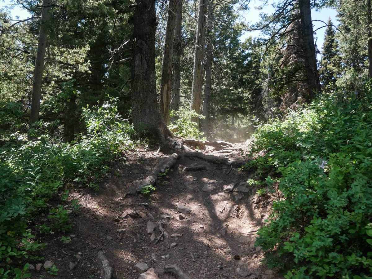
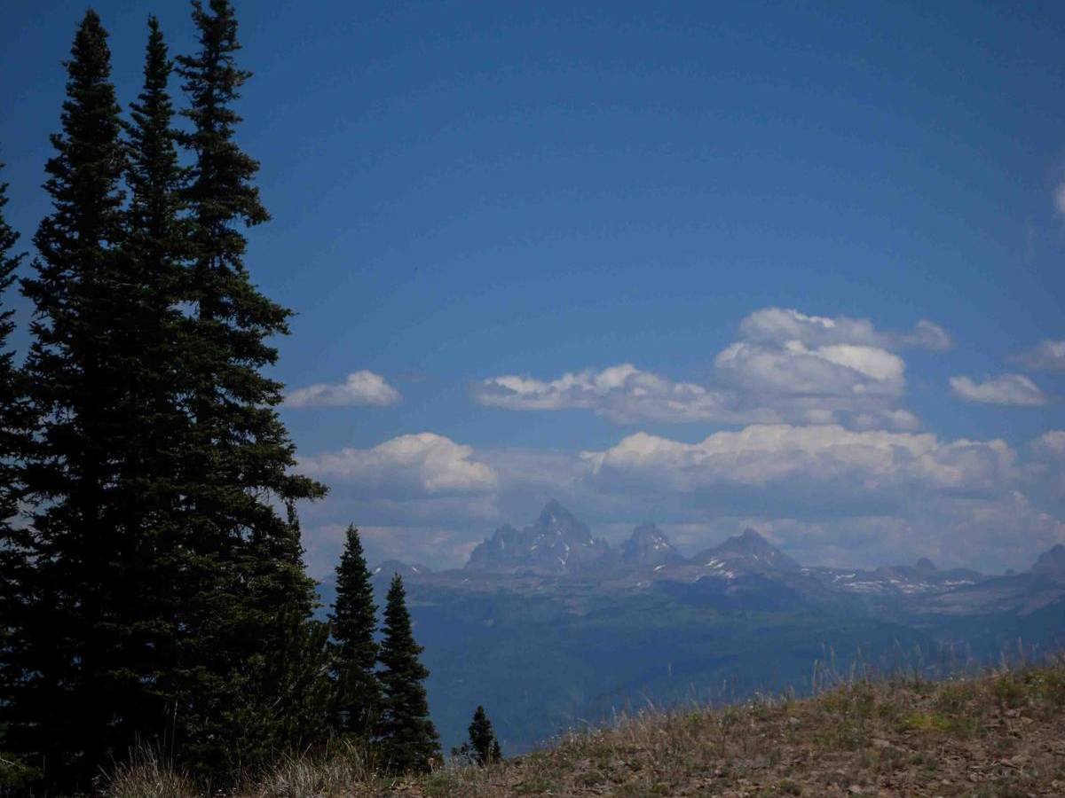
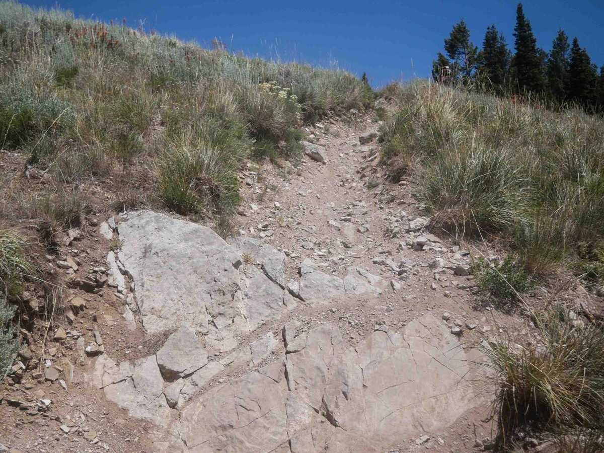
Trail Overview
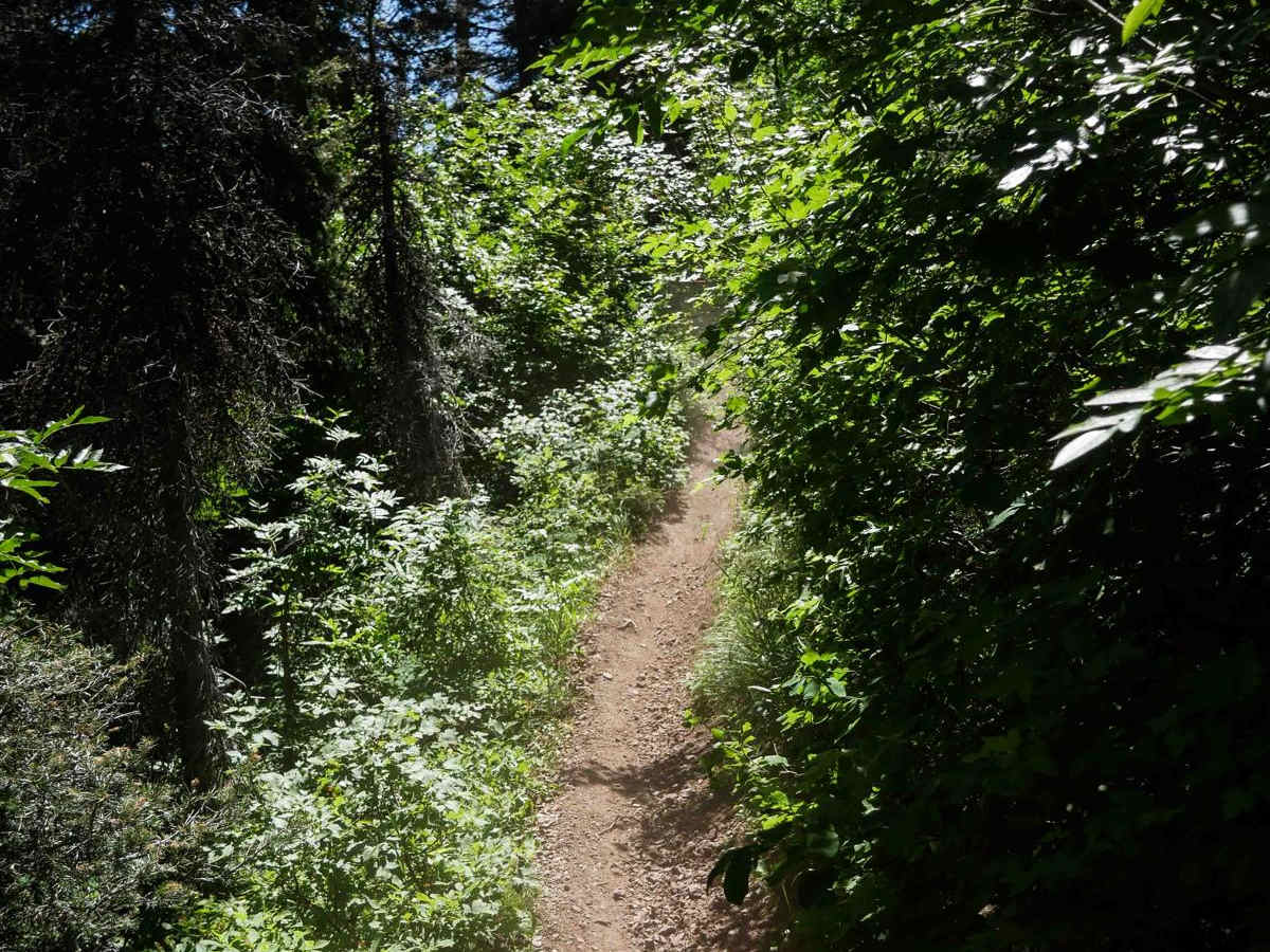
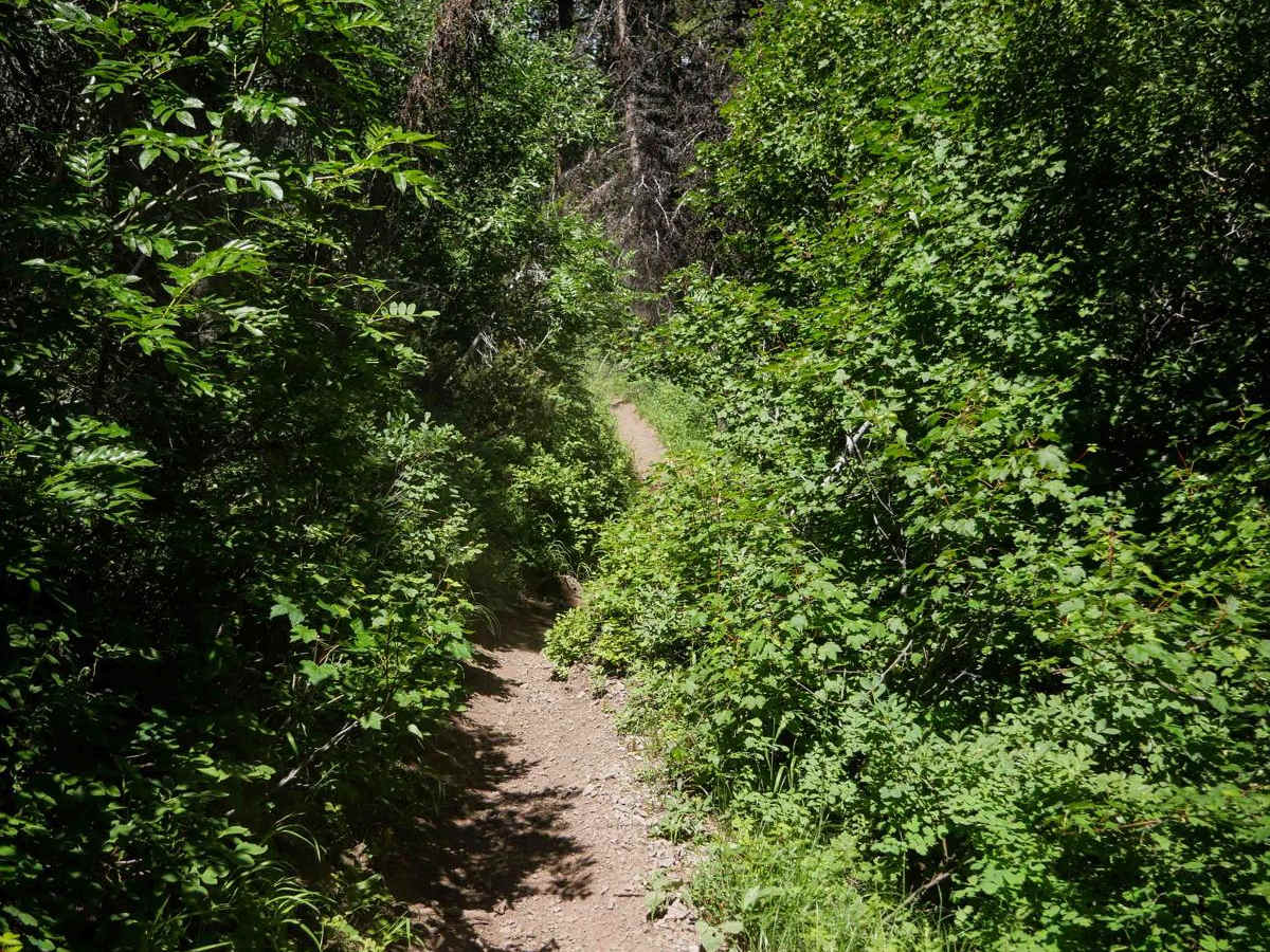
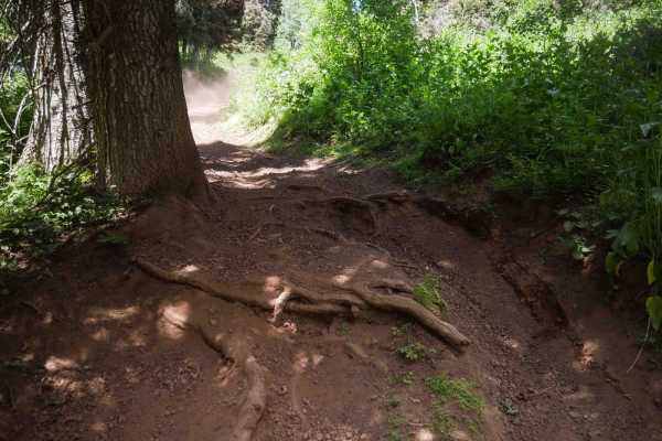
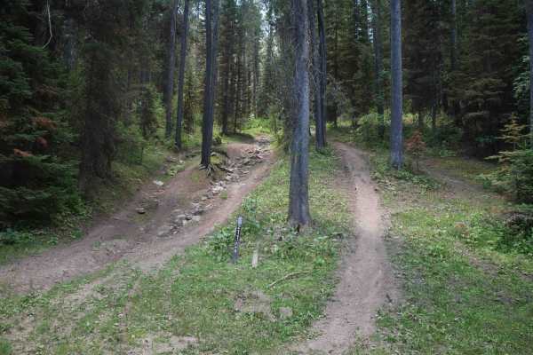
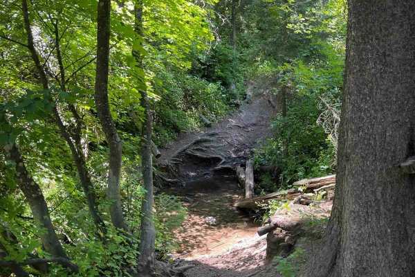
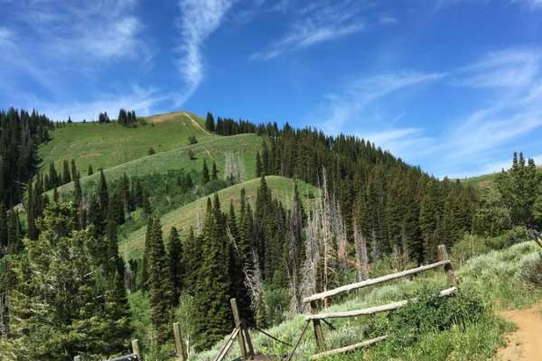
Dry Henderson is a 4.7-mile-long dirt bike trail in the Targhee National Forest with intermediate technical challenges and sections that would be difficult for newer riders. The trail stays fairly narrow throughout, with tight side-hilling along a densely brush-covered hillside where vegetation can obscure visibility. The exposure is high, with a steep drop-off to the side of the trail. Riders will traverse a series of climbs and descents across this terrain, with loose dirt, deep troughs, and big roots in narrow and exposed segments. Heading east, the trail goes up a long, extremely loose and steep climb -- this is the hardest section of the route, where less experienced riders may struggle with traction. There's a big rock face at the top of the climb you have to go over as well. After the climb, the trail reaches a high point with great views of the Tetons. The trail transitions into some easier meadow sections before it descends down towards the east entrance. The east end becomes quite rocky, with a steep downhill over loose, chunky rock on a wider path that leads to the Dry Henderson trailhead. There are also some faint, unmarked intersections throughout the trail, so having a map or GPS is helpful for staying on route.
Difficulty
This is a more challenging intermediate trail that includes steep, loose climbs, narrow exposed sections, and rocky descents. Although there are easier flowy sections in between, the climbs will test traction and control for less experienced riders.