Jackass Loop Trail (FS 264)

Total Miles17
Technical Rating
1Easy
Best TimeSummer
Trail TypeFull-Width Road
Accessible By
Open Trail Map

Trail Overview

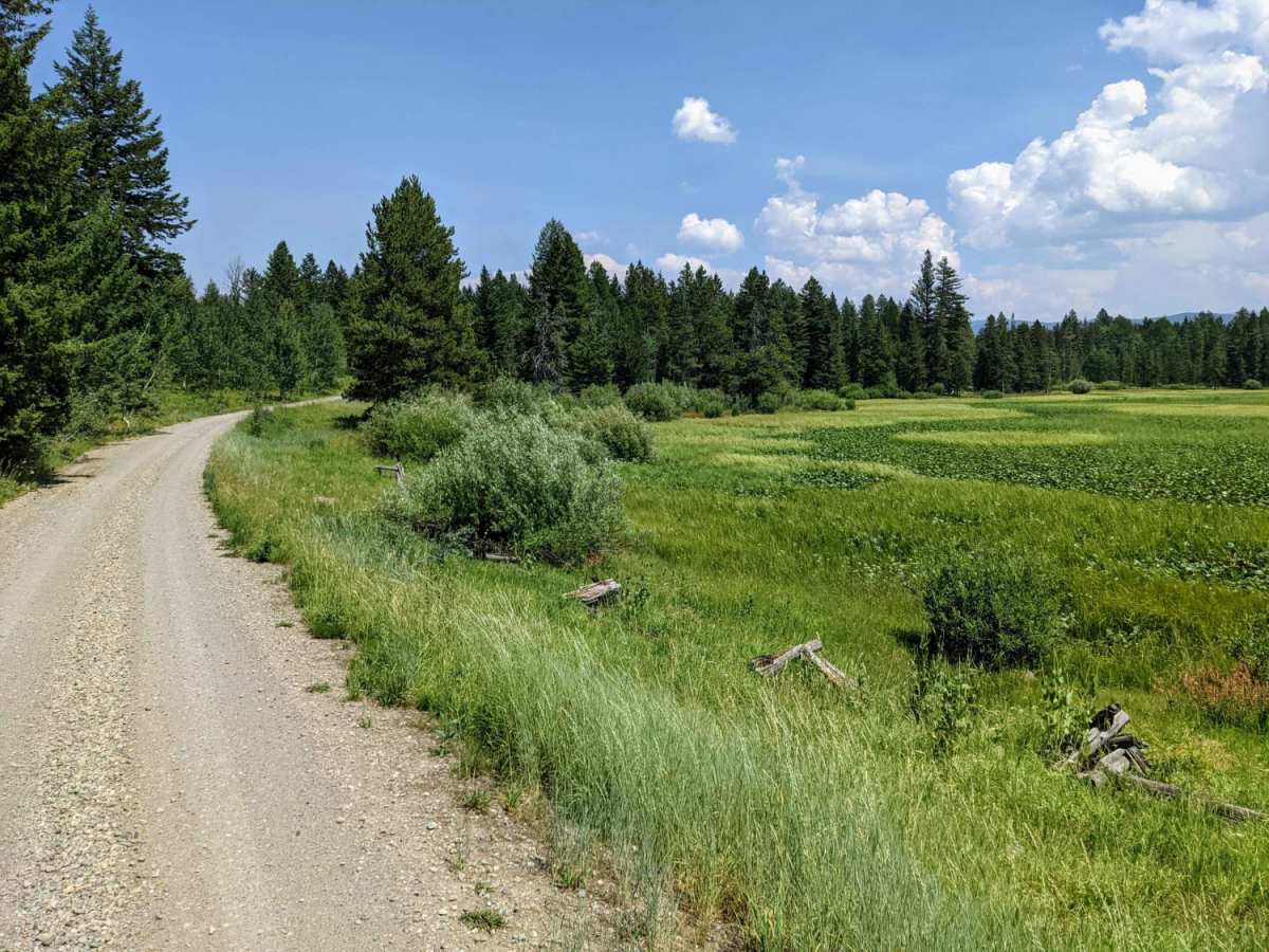
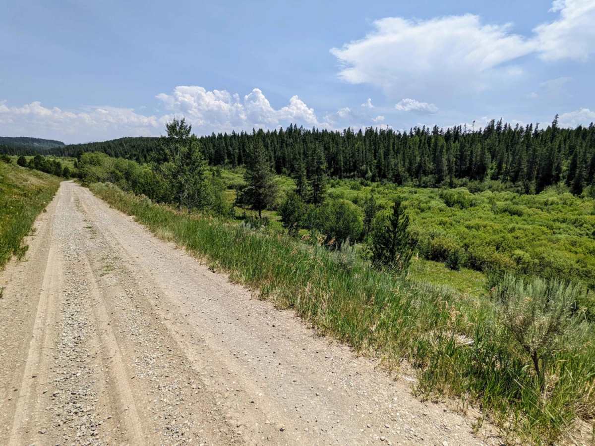
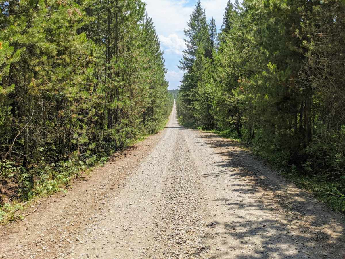
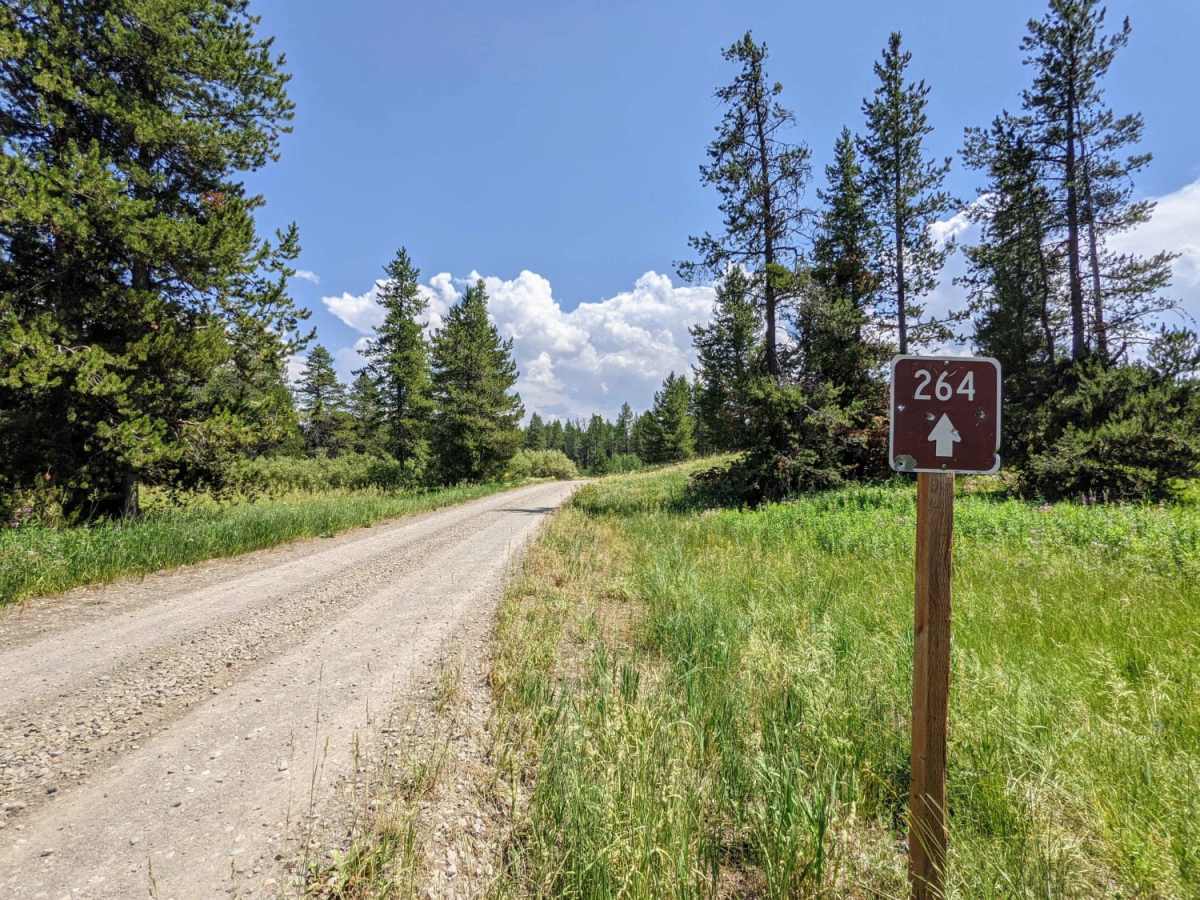
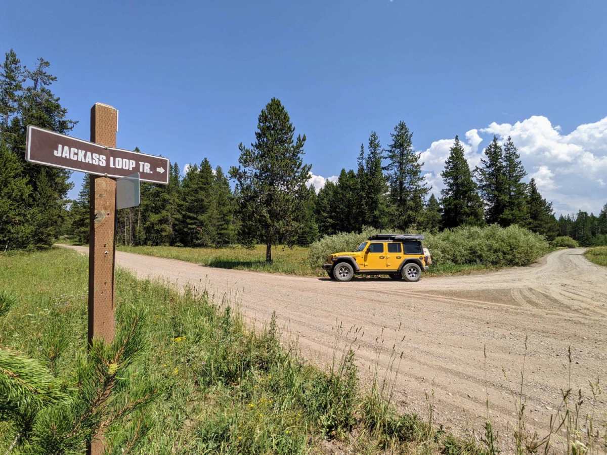
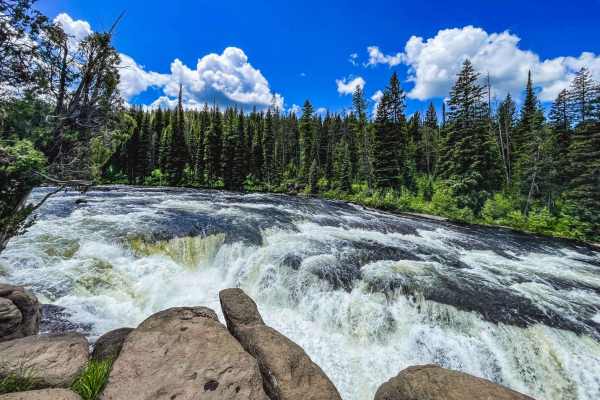
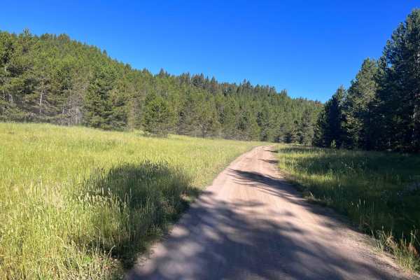
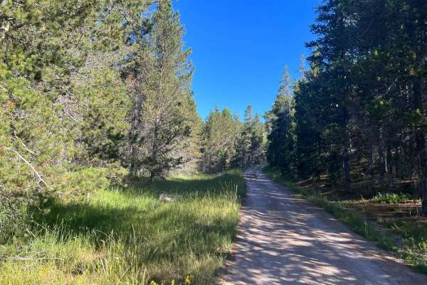
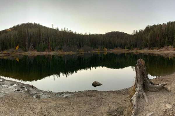
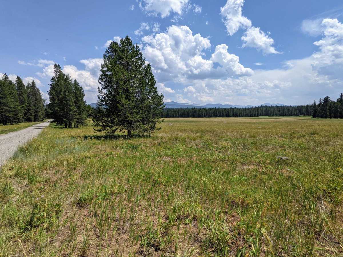
Jackass Loop is a well-maintained two-way dirt road that crosses the Idaho-Wyoming state boundary in the Targhee National Forest. Running parallel to the Ashton-Flagg Ranch Road, the trail weaves through dense birch and pine trees that frequently give way to sprawling meadows and breath-taking views of the Teton Mountains. Scattered along the trail are multiple dispersed campsites and hiking trailheads that provide access to the Jedediah Smith Wilderness and Grand Teton National Park. The trail intersects multiple streams via single lane bridges and skirts the northern edge of lily-padded Ernest Lake. Drivers should remain alert and maintain a safe speed when transiting the trail due to free-range cattle and equestrian activity throughout the area. Due to heavy snowfall, this trail is best traveled between June and September.

Photos of Jackass Loop Trail (FS 264)

Difficulty

Jackass Loop is a well-maintained two-way dirt road that can be easily traversed by stock 4WD and high-clearance 2WD vehicles during summer months.

Technical Rating

1

Status Reports

Add Status Report
Kevin Nate
Jun 19, 2026
2015 Polaris RAZR-4 900
Open
Dusty
Trail has some washboards and potholes but is good. Dry weather has it dusty.
Mark Garner
Jun 24, 2023
Open
NormalMuddy/Wet

Jackass Loop Trail (FS 264) Trail can be accessed by the following ride types:

  • Single Track
  • 50 Inch
  • 60 Inch
  • High Clearance
  • Full Width

Jackass Loop Trail (FS 264) Map

The onX Offroad Difference

onX Offroad combines trail photos, descriptions, difficulty ratings, width restrictions, seasonality, and more in a user-friendly interface. Available on all devices, with offline access and full compatibility with CarPlay and Android Auto. Discover what you're missing today!

Open Trail Map