
Dirt Bike Trails
Near Swede Heaven, Washington
Explore All Dirt Bike Trails Near Swede Heaven, Washington
Dirt Bike Trails Near Swede Heaven, Washington
Discover the best dirt bike trails near you. Browse trail maps, check difficulty ratings, and find your next adventure — whether you're looking for a quick ride or an all-day expedition.
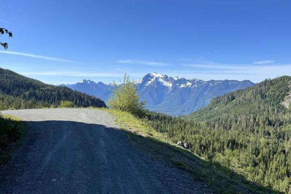
Segelsen - FS 18
Segelsen/NF18 is a 20.8-mile point-to-point gravel trail in the Mount Baker-Snoqualmie National Forest. Segelsen is a wide, well-groomed trail with lots of spur trails, views, and dispersed campsites along the way. (All distances are from the south starting point) At the 1-mile mark, there is an act...
Learn more about Segelsen - FS 18
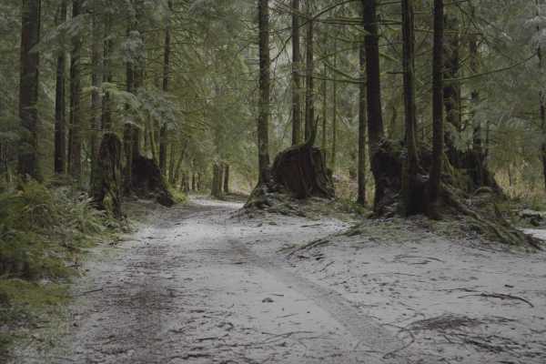
The Ferns on French Creek
A short trail that takes you to an awesome camp spot near a small waterfall and creek. Old-growth type forest lines the trail and the last section to the camp spot is lined with ferns. Decent spot for a few vehicles and is very secluded. Beautiful all year and even better in the snow. The trail is a...
Learn more about The Ferns on French Creek
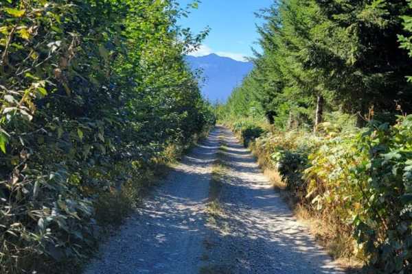
North Mountain Trail
The North Mountain Trail is an out and back in Mount Baker National Forest. It passes through private land so be mindful if camping. There are a few campsites along the trail, with the most impressive being in a section of removed rock towards the top. The trail has incredible views of Mount Baker a...
Learn more about North Mountain Trail
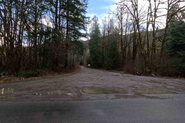
Dan's Creek - FS 24
Dan's Creek is a 10-mile point-to-point trail following the creek of the same name. Beginning from the north, the trail wraps around the back of Gold Hill. At mile 4.3, stay left at the fork (shown in photo 6) to continue on FS 24, or turn right onto Dan's Creek Divide (FS 2420). FS 24 ends at its i...
Learn more about Dan's Creek - FS 24
Clear Creek
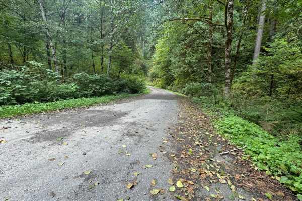
Clear Creek Trail is a beautiful, easy-running trail that follows Clear Creek almost all the way up the trail on your left with the potential for a waterfall view if you find parking and hike to it. There are easy-to-navigate washouts that could potentially become water crossings if there are period...
Learn more about Clear Creek
North Side Dan's Creek - FS 2130
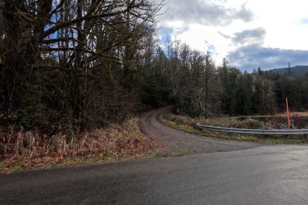
North Side Dan's Creek is a 1.7-mile out-and-back trail that, as of December 2025, ends at heavy brush encroachment, as shown in the last photo. The trail technically continues for an additional 2 miles, but would require significant clearing to become passable. The first half-mile crosses private p...
Learn more about North Side Dan's Creek - FS 2130
Goldfinger - FS 2410
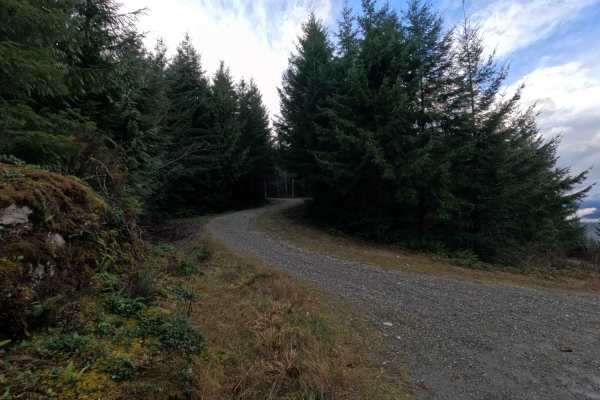
Goldfinger is a 1-mile out-and-back trail branching off from Dan's Creek (FS 24). The trail ascends the northeast face of Gold Mountain, ending at a small clearing a quarter-mile beyond the final fork (shown in photo 5). The route used to continue, but is now blocked by large rocks (Shown in the las...
Learn more about Goldfinger - FS 2410

Sauk MT
This trail is just a basic forest road where you can find views and a little campsite. This is made for full-size vehicles or smaller ones with some rough spots. The viewpoint of the Skagit River with mountain views is amazing. Please respect the private property as this trail is next to multiple p...
Learn more about Sauk MT
Goldhill - FS 2210
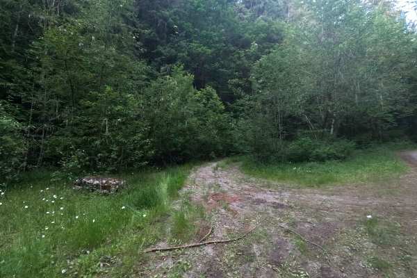
Goldhill is a 2.9-mile out-and-back route that follows a narrow trail through dense forest. The road features some rutting, brush encroachment, and sections where fist-sized loose rock forms the road base. Brush encroachment becomes progressively tighter higher up the trail, narrowing the corridor a...
Learn more about Goldhill - FS 2210
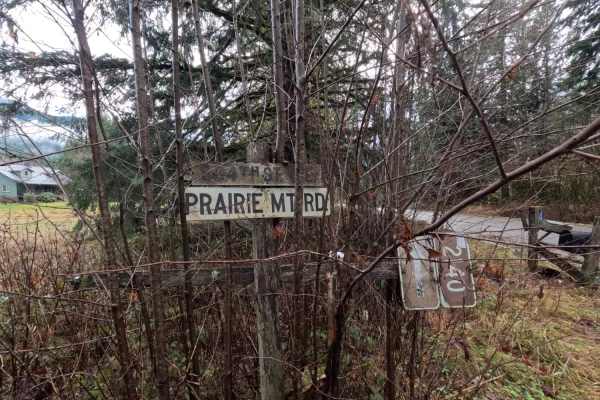
Prairie Mountain - FS 2140
Prairie Mountain is a 2.3-mile out-and-back gravel road ascending the west side of a 5,656-foot peak of the same name. The first quarter-mile of the trail serves as a driveway for local residents; please exercise courtesy and respect when passing through this section. At mile 1.5, the road features ...
Learn more about Prairie Mountain - FS 2140
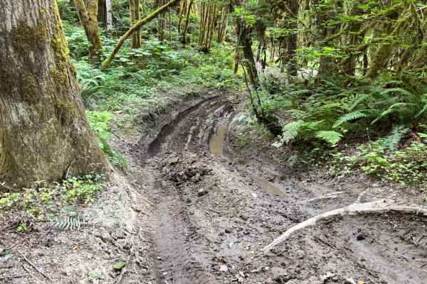
Sauk River Forest Loop
This lowland forest trail follows the Sauk River bottoms and offers a short but obstacle-filled route. Drivers will encounter mud holes, steep hill climbs, tight turns, and off-camber sections throughout. In spring and summer, it is important to be cautious of heavy overgrowth and stinging nettles, ...
Learn more about Sauk River Forest Loop
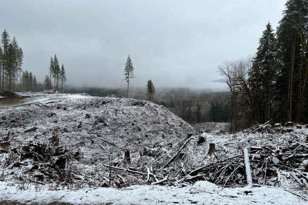
Sauk River
This trail starts out as a basic road and crosses a one-lane bridge. Over to the left, the trail begins. As you go up the trail, you will have a couple of mild switchbacks with limited visability of whats coming around the corner. As you travel up, there are nice areas to camp or take a break to enj...
Learn more about Sauk River
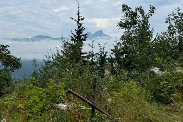
Murphy Creek
Murphy Creek is a long, unmaintained trail off Mountain Loop Highway near Darrington. The trail becomes so overgrown after about 6 miles that it would only be suited for walking. The trail itself is almost twice as long as you can complete but offers the stunning natural beauty of the Mt Baker Natio...
Learn more about Murphy Creek

Gee Point
The Finney-Cumberland trail accessing this trail allows for cell phone reception, but the trail to Gee Point does not. During this section, there are great views of Mt. Baker, as well as Skagit Valley and the Skagit River. Gee Lake is at the final 10 miles to Gee Point Trail. This portion of the tra...
Learn more about Gee Point
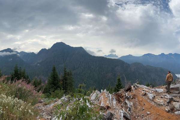
Helena Ridge
Helena Ridge is a volunteer-maintained trail spur off Murphy Creek Trail. The road is mostly well-laid rock and dirt with the occasional pothole and one deep rut in the last section. The end of the trail offers the most amazing viewpoint as well as a dispersed camp spot but this is a somewhat busy t...
Learn more about Helena Ridge
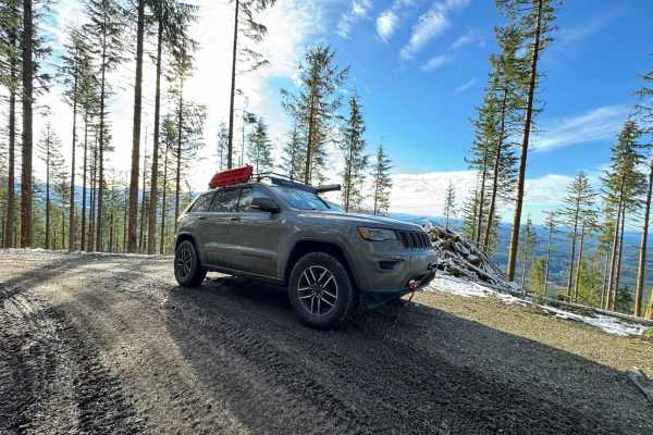
Green Mountain Road/NF-011
Green Mountain Road starts as a well-groomed dirt/ gravel track with a spectacular forest surround. This is a popular location for people to come shooting, with many small pullouts along the first half of the trail. Please be responsible and pick up your casings afterward! It climbs in elevation rat...
Learn more about Green Mountain Road/NF-011
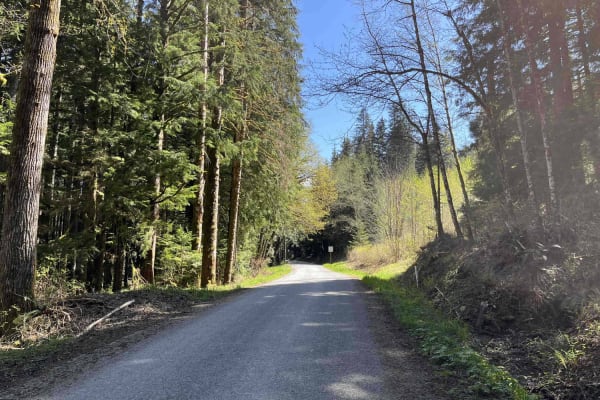
Lake Cavanaugh Road
Lake Cavanaugh Road is a point-to-point wide gravel road that connects Lake Cavanaugh and SR530. This trail is well-maintained and open to all vehicle traffic, however, some larger vehicles will find some of the switchbacks on the southern side of the trail to be tight. There are several short steep...
Learn more about Lake Cavanaugh Road
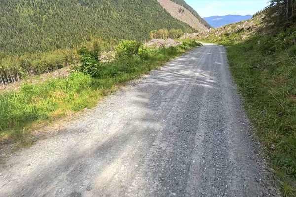
Finney-Cumberland - FS 17
Finney-Cumberland Road/NF17 is a point-to-point trail leading west to east which leaves and then reconnects with South Skagit Highway. At its current condition, this trail is passable only to capable SUVs and better, due to recent water damage from snow runoff (see ruts/damage in pictures). The road...
Learn more about Finney-Cumberland - FS 17
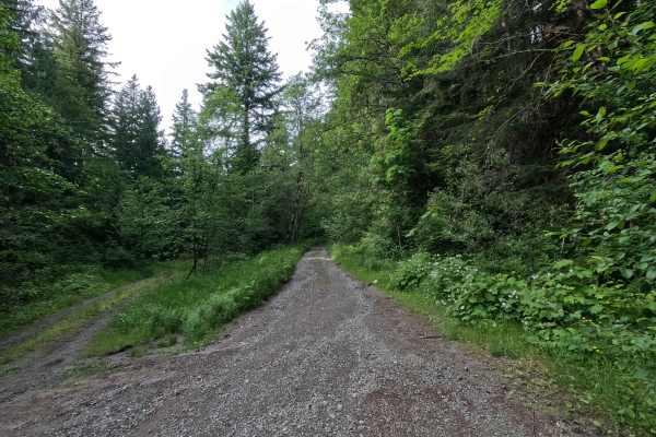
Upper Decline - FS 2435
Upper Decline is a 7.1-mile out-and-back route that climbs steadily through forested terrain, featuring occasional water damage, large potholes, and a few steeper sections as elevation increases. Breaks in the trees provide views of surrounding peaks, including Whitehorse Mountain and Three Fingers,...
Learn more about Upper Decline - FS 2435
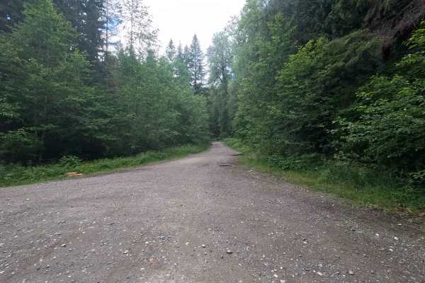
Decline - FS 2430
Decline is a 5.9-mile out-and-back route with a surprisingly smooth road surface for much of its length, though large potholes are present throughout. The trail offers occasional views of the surrounding foothills and passes through increasingly dense vegetation as it climbs. Past the intersection w...
Learn more about Decline - FS 2430
ATV trails near Swede Heaven, Washington
Explore ATV-friendly trails near you. These trails are accessible for vehicles up to 50 inches wide, perfect for ATVs and smaller off-road machines.
Segelsen - FS 18
Segelsen/NF18 is a 20.8-mile point-to-point gravel trail in the Mount Baker-Snoqualmie National Forest. Segelsen is a wide, well-groomed trail with lots of spur trails, views, and dispersed campsites along the way. (All distances are from the south starting point) At the 1-mile mark, there is an act...
Learn more about Segelsen - FS 18
The Ferns on French Creek
A short trail that takes you to an awesome camp spot near a small waterfall and creek. Old-growth type forest lines the trail and the last section to the camp spot is lined with ferns. Decent spot for a few vehicles and is very secluded. Beautiful all year and even better in the snow. The trail is a...
Learn more about The Ferns on French Creek
North Mountain Trail
The North Mountain Trail is an out and back in Mount Baker National Forest. It passes through private land so be mindful if camping. There are a few campsites along the trail, with the most impressive being in a section of removed rock towards the top. The trail has incredible views of Mount Baker a...
Learn more about North Mountain Trail
Dan's Creek - FS 24
Dan's Creek is a 10-mile point-to-point trail following the creek of the same name. Beginning from the north, the trail wraps around the back of Gold Hill. At mile 4.3, stay left at the fork (shown in photo 6) to continue on FS 24, or turn right onto Dan's Creek Divide (FS 2420). FS 24 ends at its i...
Learn more about Dan's Creek - FS 24
UTV/side-by-side trails near Swede Heaven, Washington
Find UTV and side-by-side trails near you. These trails accommodate vehicles up to 60 inches wide, ideal for UTVs, side-by-sides, and wider off-road rigs.
Segelsen - FS 18
Segelsen/NF18 is a 20.8-mile point-to-point gravel trail in the Mount Baker-Snoqualmie National Forest. Segelsen is a wide, well-groomed trail with lots of spur trails, views, and dispersed campsites along the way. (All distances are from the south starting point) At the 1-mile mark, there is an act...
Learn more about Segelsen - FS 18
The Ferns on French Creek
A short trail that takes you to an awesome camp spot near a small waterfall and creek. Old-growth type forest lines the trail and the last section to the camp spot is lined with ferns. Decent spot for a few vehicles and is very secluded. Beautiful all year and even better in the snow. The trail is a...
Learn more about The Ferns on French Creek
North Mountain Trail
The North Mountain Trail is an out and back in Mount Baker National Forest. It passes through private land so be mindful if camping. There are a few campsites along the trail, with the most impressive being in a section of removed rock towards the top. The trail has incredible views of Mount Baker a...
Learn more about North Mountain Trail
Dan's Creek - FS 24
Dan's Creek is a 10-mile point-to-point trail following the creek of the same name. Beginning from the north, the trail wraps around the back of Gold Hill. At mile 4.3, stay left at the fork (shown in photo 6) to continue on FS 24, or turn right onto Dan's Creek Divide (FS 2420). FS 24 ends at its i...
Learn more about Dan's Creek - FS 24
The onX Offroad Difference
onX Offroad combines trail photos, descriptions, difficulty ratings, width restrictions, seasonality, and more in a user-friendly interface. Available on all devices, with offline access and full compatibility with CarPlay and Android Auto. Discover what you're missing today!
Open Trail Map