Trail Overview
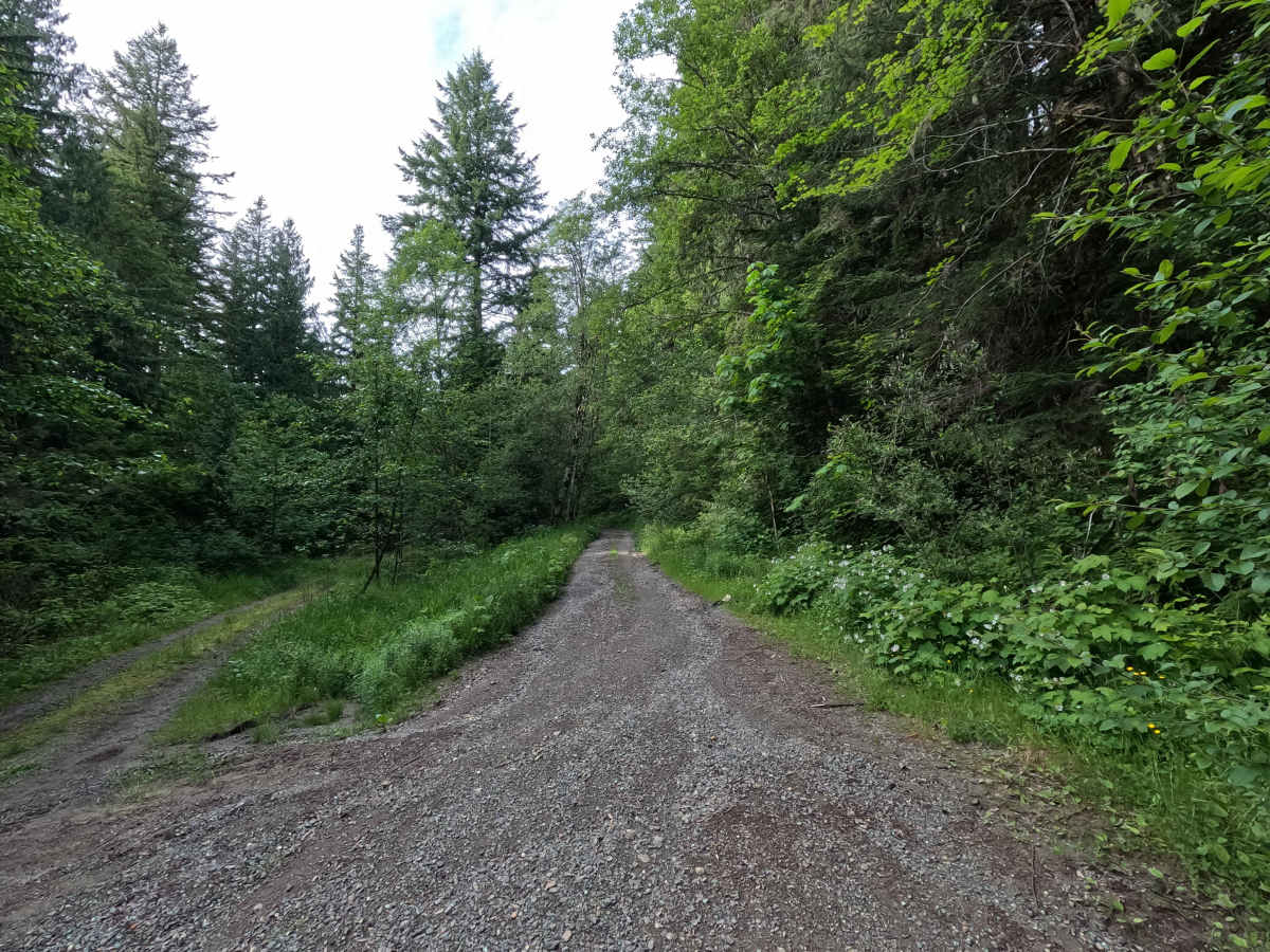
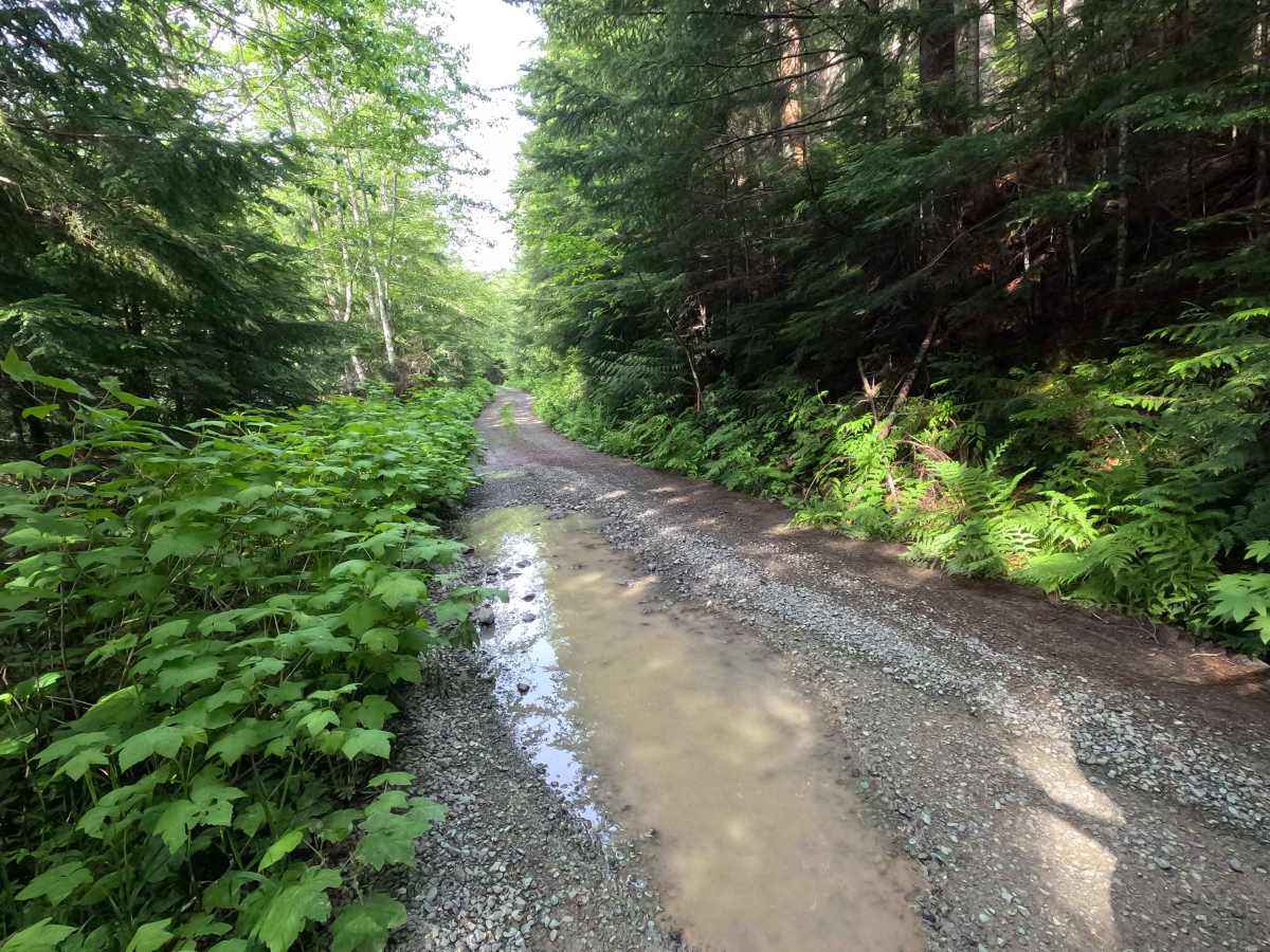
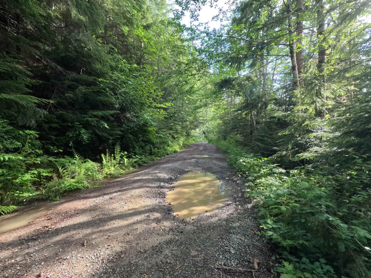
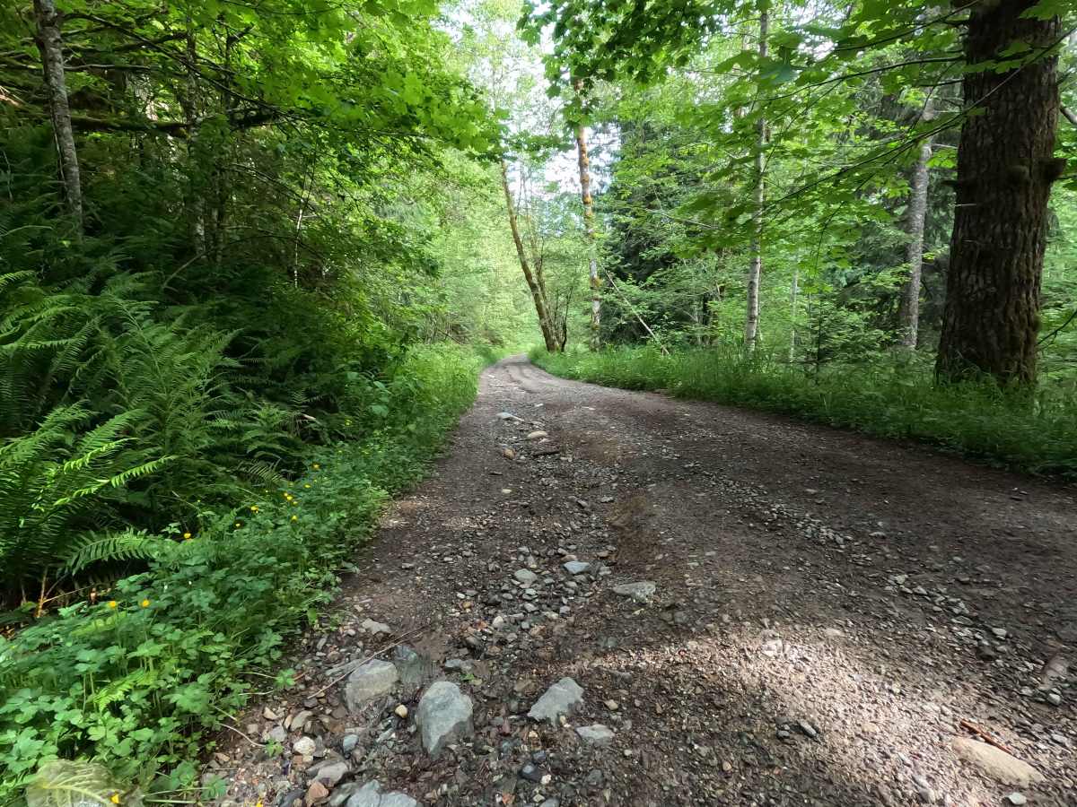
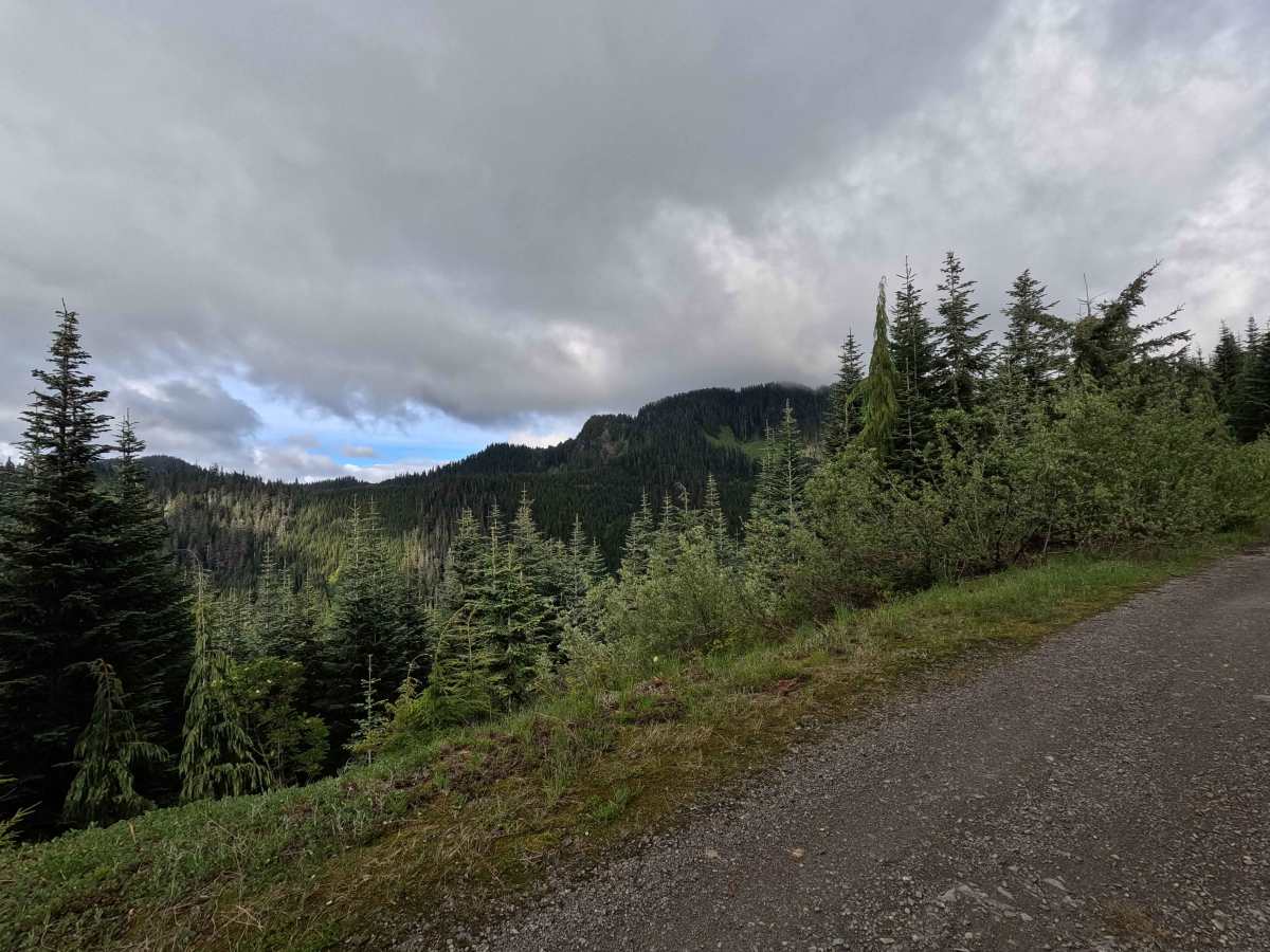
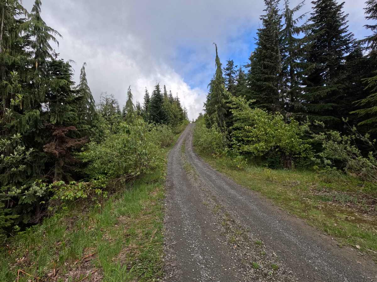
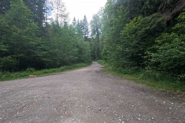
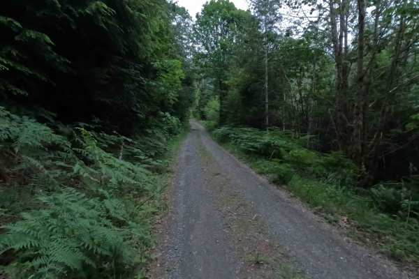
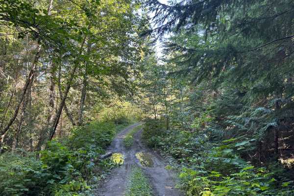
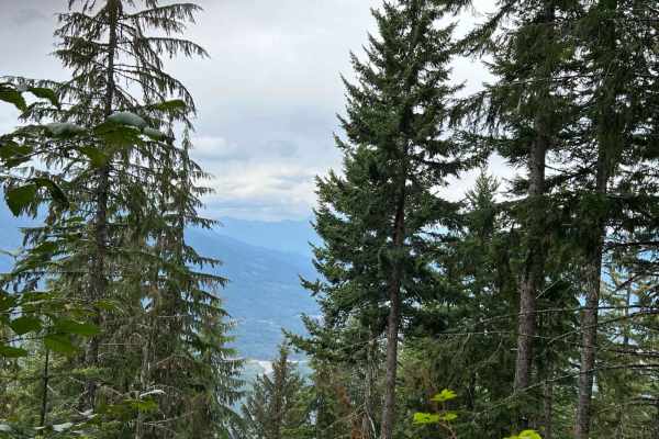
Upper Decline is a 7.1-mile out-and-back route that climbs steadily through forested terrain, featuring occasional water damage, large potholes, and a few steeper sections as elevation increases. Breaks in the trees provide views of surrounding peaks, including Whitehorse Mountain and Three Fingers, with especially impressive viewpoints found in the upper portions of the trail. Brush encroachment begins around mile 5.6 and continues to the end of the route, narrowing the trail corridor and making travel more difficult for wider vehicles. Despite the rougher upper sections, the route provides access to some of the best scenery in the area. Upper Decline is open year-round.
Difficulty
Upper Decline is a 7.1-mile out-and-back route that climbs steadily through forested terrain, featuring occasional water damage, large potholes, and a few steeper sections as elevation increases. Breaks in the trees provide views of surrounding peaks, including Whitehorse Mountain and Three Fingers, with especially impressive viewpoints found in the upper portions of the trail. A short spur trail at approximately mile 5.6 provides access to the Whitechuck Mountain Trailhead. Brush encroachment begins around mile 5.6 and continues to the end of the route, narrowing the trail corridor and making travel more difficult for wider vehicles. Despite the rougher upper sections, the route provides access to some of the best scenery in the area.