Trail Overview
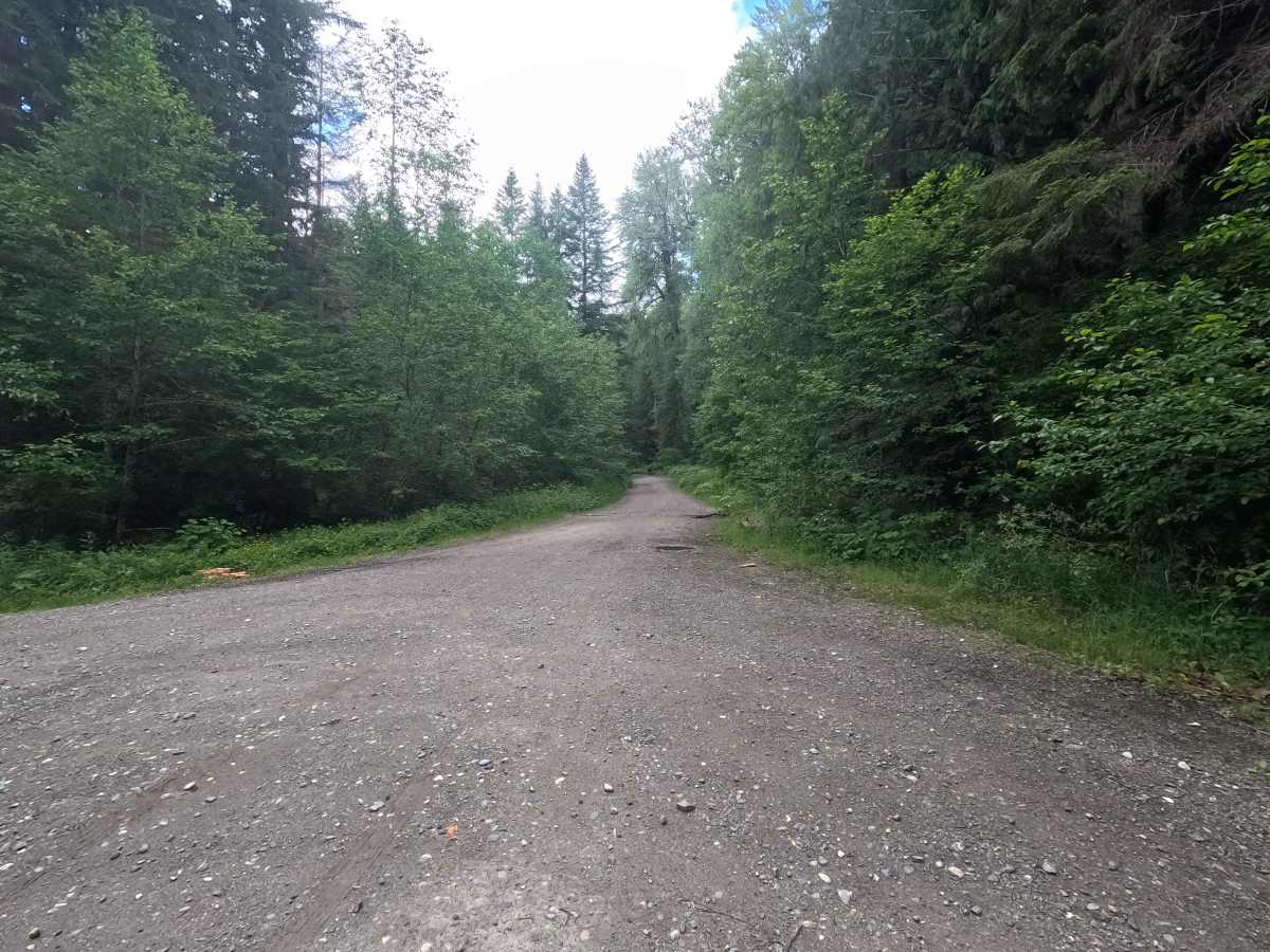
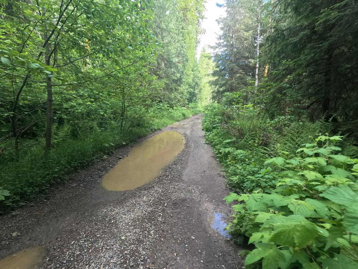
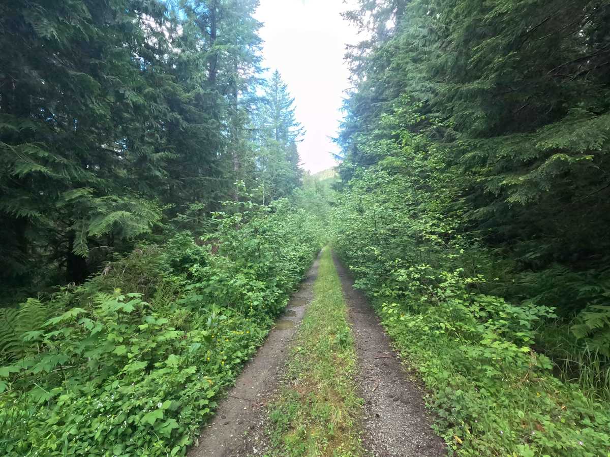
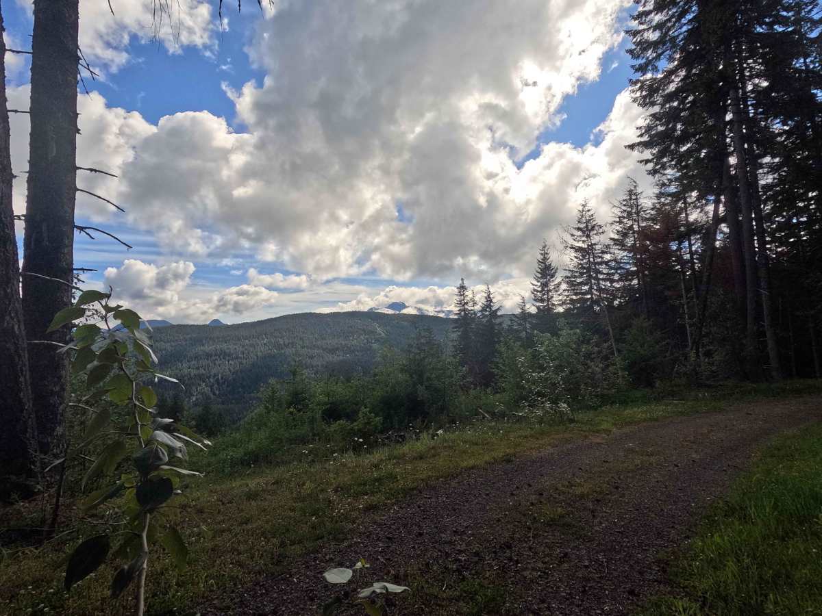
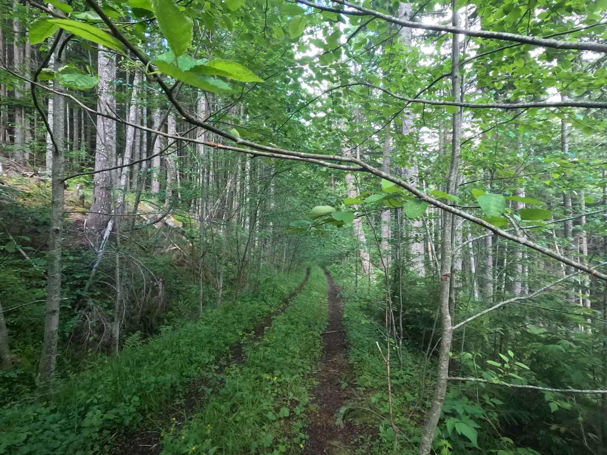
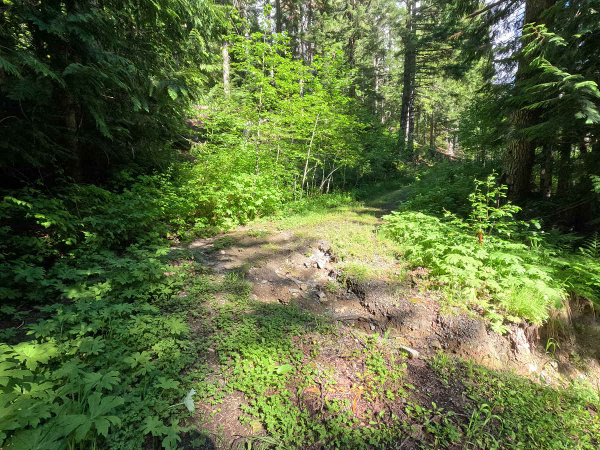
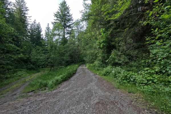
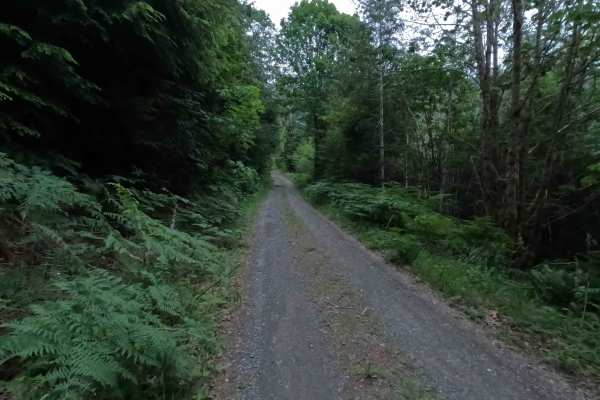
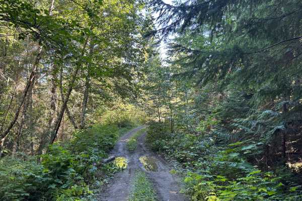
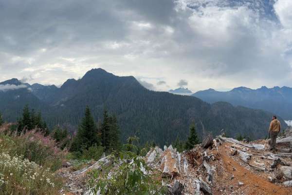
Decline is a 5.9-mile out-and-back route with a surprisingly smooth road surface for much of its length, though large potholes are present throughout. The trail offers occasional views of the surrounding foothills and passes through increasingly dense vegetation as it climbs. Past the intersection with Upper Decline, the road becomes progressively narrower and more overgrown, with significant brush encroachment. A small washout is present around mile 4.8, but remains passable. The route is blocked at approximately mile 5.9 by numerous downed trees that appear to have been in place for several years, marking the practical end of the trail. Although legally accessible by all vehicle types, heavy brush encroachment effectively limits the route to narrower machines such as ATVs and motorcycles. Users should expect significant pinstriping, and the turnaround at the end of the trail is very small. A small dispersed campsite is located near the end of the route.
Difficulty
Decline is moderately challenging, not because of large obstacles, but because of the increasingly narrow and overgrown trail corridor. Large potholes, brush encroachment, and a small washout near mile 4.8 require attention, while the heavy vegetation beyond Upper Decline can make passing difficult for wider vehicles. Although the route is legally open to all vehicle types, the amount of brush effectively limits practical use to narrower machines. Users should expect significant pinstriping and be prepared for a very limited turnaround area near the end of the trail. Conditions become more difficult when wet, and standing water may conceal potholes and other trail features. As with most trails in the area, bringing a chainsaw or equipment to clear fallen trees is recommended.