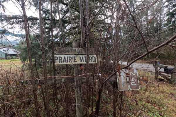
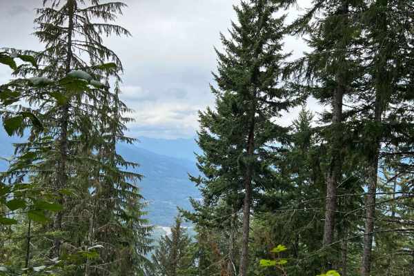
Trail Overview
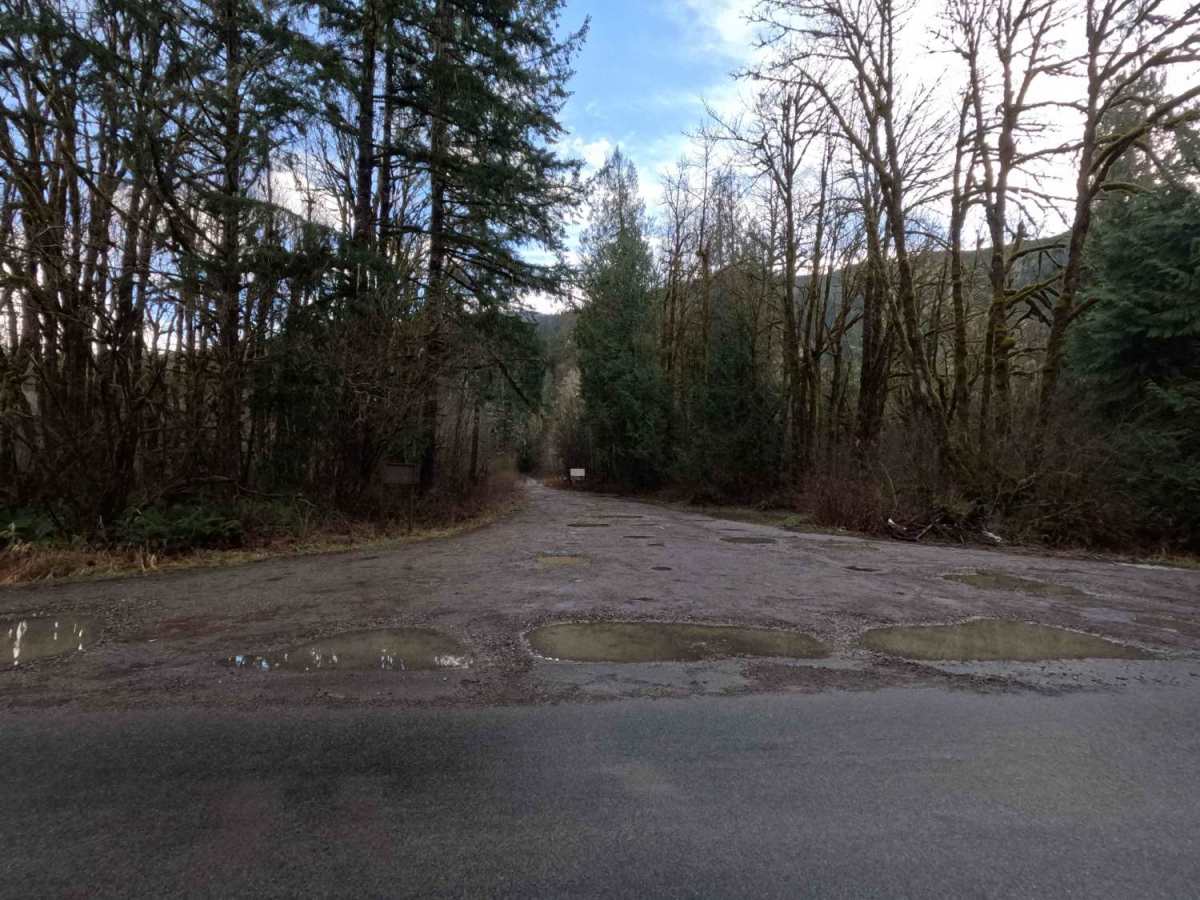
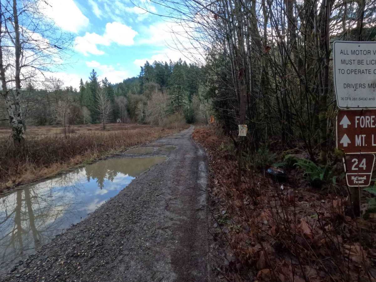
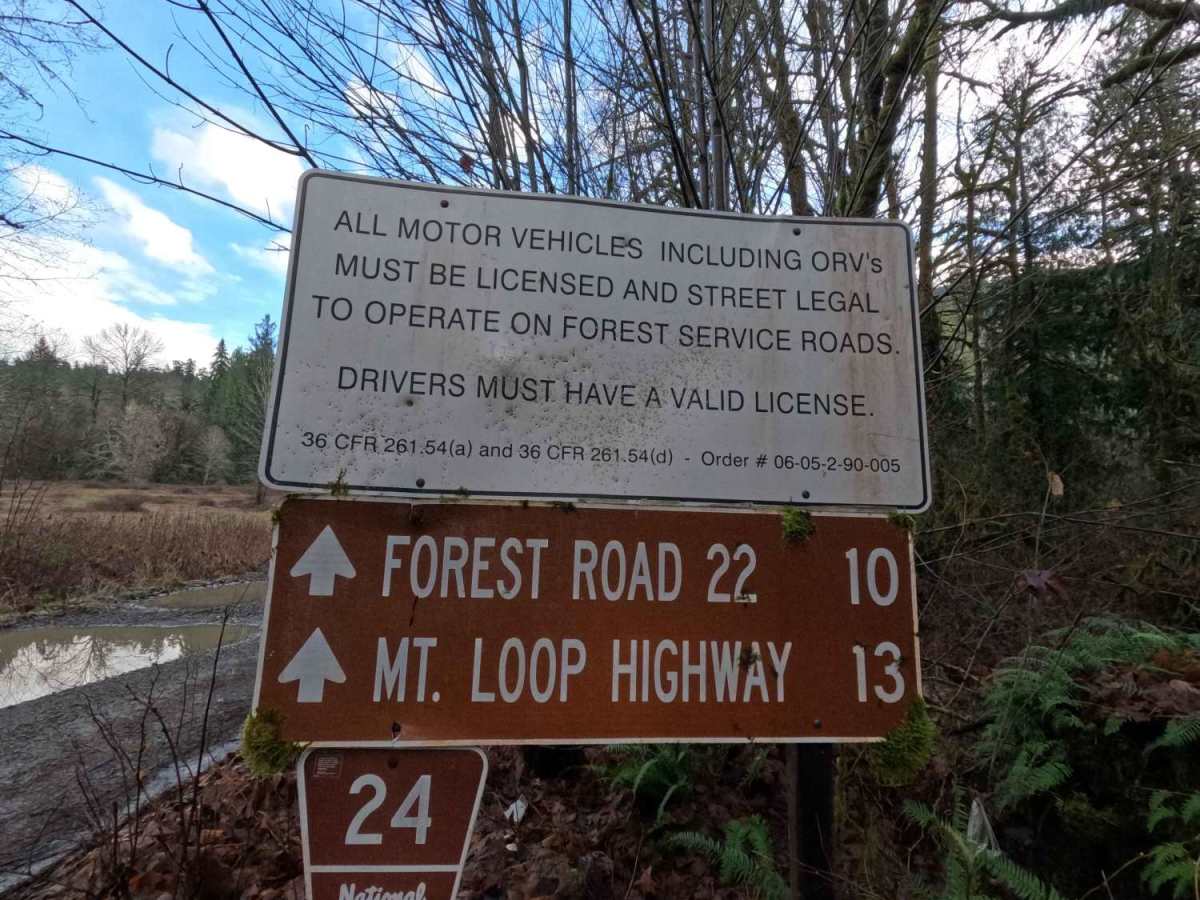
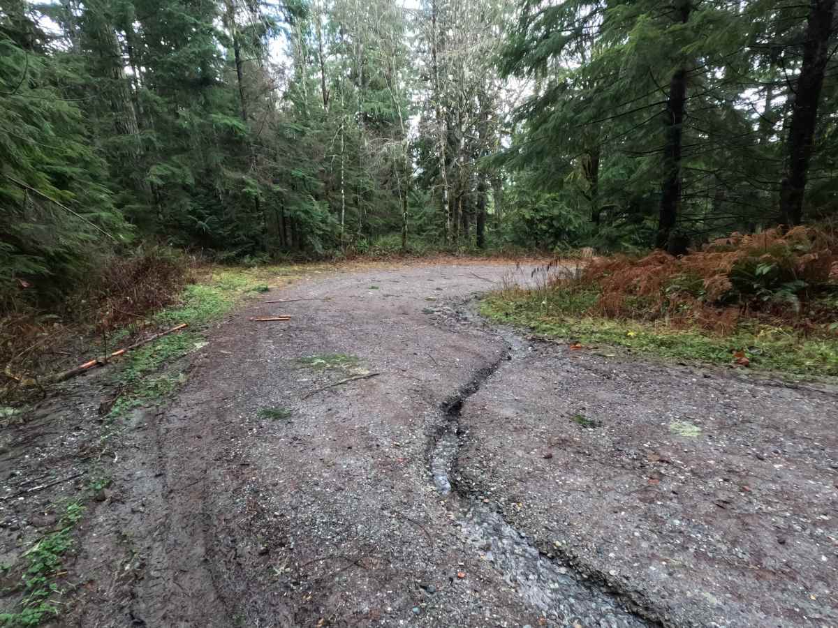
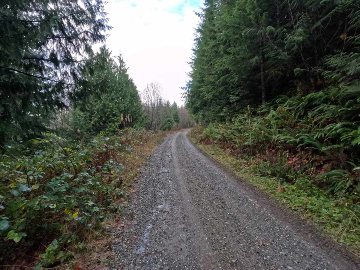
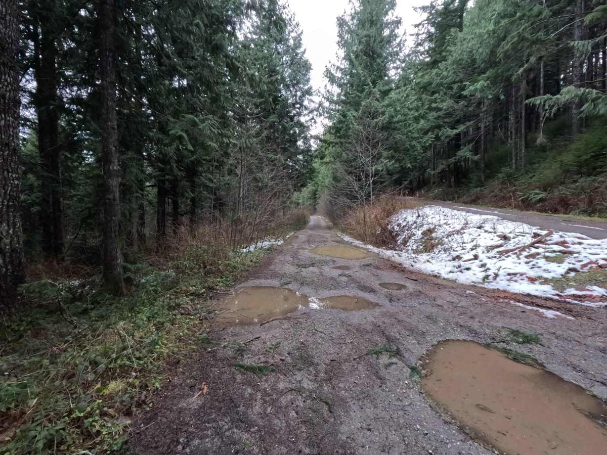
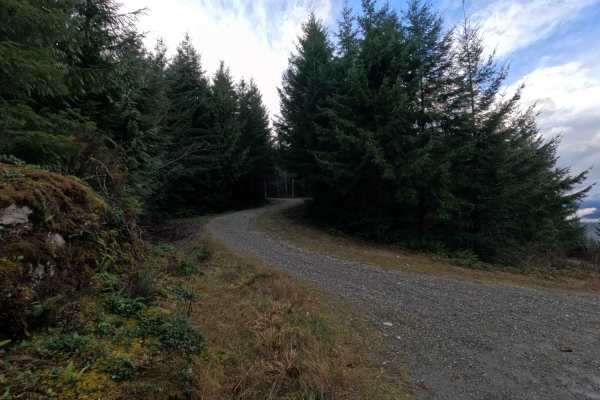
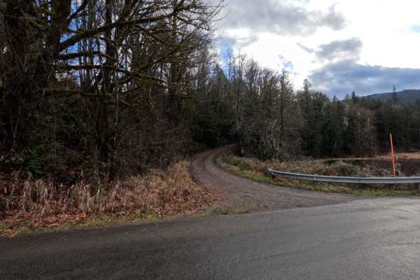
Dan's Creek is a 10-mile point-to-point trail following the creek of the same name. Beginning from the north, the trail wraps around the back of Gold Hill. At mile 4.3, stay left at the fork (shown in photo 6) to continue on FS 24, or turn right onto Dan's Creek Divide (FS 2420). FS 24 ends at its intersection with North Side Sauk River (FS 22), located 3 miles up from the Mountain Loop Highway. Dan's Creek is an easy gravel road featuring frequent deep potholes and moderate brush encroachment. Dan's Creek is accessible year-round. Note that photos are oriented from north to south.
Difficulty
Dan's Creek is an easy gravel road suitable for most vehicles. The primary challenges are frequent deep potholes that require attention and careful navigation, along with moderate brush encroachment that may cause pinstriping. Stock vehicles should have no difficulty completing this trail with cautious driving. Due to limited maintenance, visitors should bring a chainsaw for clearing windfall. Snow conditions may increase difficulty during the winter months.