
Dirt Bike Trails
Near Sturgeon Bay, Wisconsin
Explore All Dirt Bike Trails Near Sturgeon Bay, Wisconsin
Dirt Bike Trails Near Sturgeon Bay, Wisconsin
Discover the best dirt bike trails near you. Browse trail maps, check difficulty ratings, and find your next adventure — whether you're looking for a quick ride or an all-day expedition.
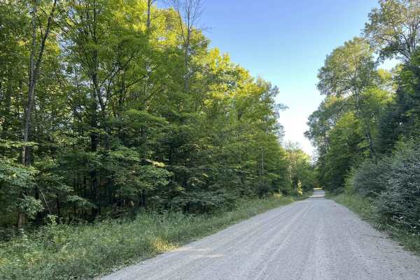
Trail FIT - FR 13044
Trail FIT - FR 13044 is the southernmost ATV and SxS trail located in the Forest Island Trail system. This trail navigates from its intersection with Forest Road 14571 to its northern intersection with Forest Road 13041 and Forest Road 34613. This trail, if traveled from the southern trailhead north...
Learn more about Trail FIT - FR 13044

#409-425 Pipeline Road to HWY 64 East
This 31.3-mile point-to-point trail in Oconto County follows an old railroad grade from the Lakewood area south toward Mountain and the Chute Pond recreation area. Designed for ATVs and side-by-sides, the route features fast, flowy, and winding dirt trails with large banked corners winding through s...
Learn more about #409-425 Pipeline Road to HWY 64 East
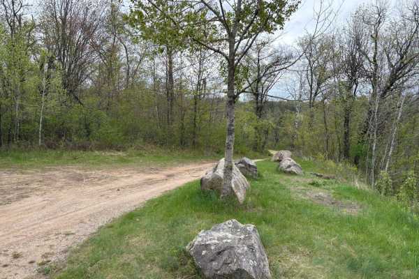
Dam Dead End
This easily flowing trail runs along the Peshtigo River, which flows down from the Johnson Fall Hydroelectric Dam. The trail features a mix of sandy whoops, hills, and scenic lookouts over the river. It eventually reaches a three-way dead end with gates at each split. A nice camping spot in one of t...
Learn more about Dam Dead End
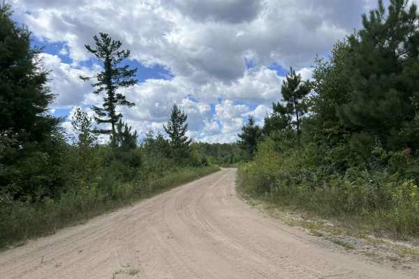
Fir - Forest Road 13042
Fir - Forest Road 13042 is a there-and-back trail open to all vehicle types, but it ends at an ungated ORV trail. This trail makes up the southern portion of the FIR route and runs from its intersection with Forest Road 13043 and Forest Road 34615 to its endpoint at FIT South. This trail is a modera...
Learn more about Fir - Forest Road 13042
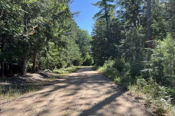
Fir - Forest Road 13040
Fir - Forest Road 13040 is a multi-use Forest Road which navigates from its intersection with Forest Road 14570 to where the trail dead-ends at an un-gated ORV trailhead. There are several short spur trails which navigate off this trail to provide additional areas to explore. This trail remains the ...
Learn more about Fir - Forest Road 13040
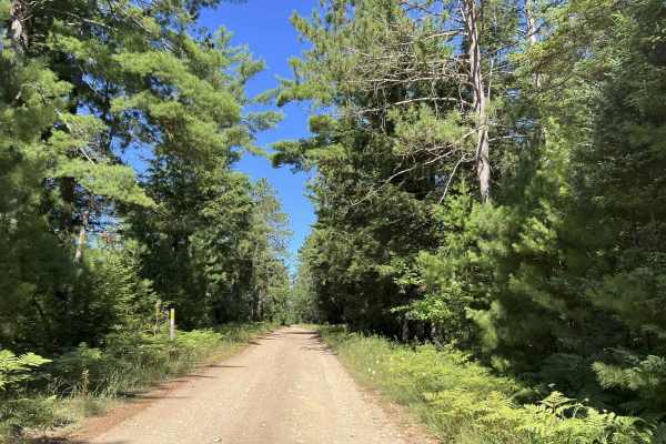
Fir - Forest Road 14570
Forest Road 14570 is a short spur trail that navigates from its intersection with Forest Road 14572, to Forest Road 13040. This trail serves as a quick way to access the east or west side of the Forest Island Trail system, rather than having to navigate further north or south where the eastern and w...
Learn more about Fir - Forest Road 14570
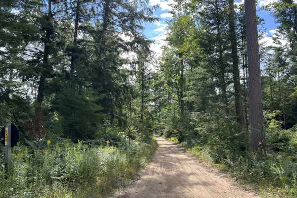
Route FIT West
Route FIT West is one of several 65 in. and under ORV routes located within the Escanaba Forest Management Unit. This trail begins at its intersection with Route FIR, Forest Road 31616, 14573, and navigates to its intersection with Route FIR 9995330. This trail is a converted 50 in. and under ORV ro...
Learn more about Route FIT West
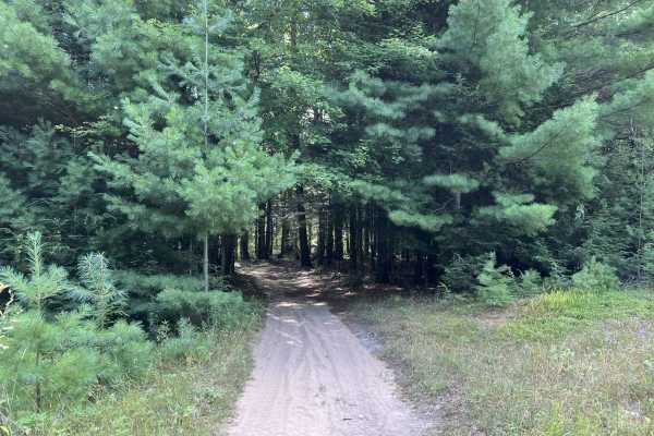
Fit East
Fit East is one of several 65 in. and under ORV routes located within the Escanaba Forest Management Unit. This trail begins at its intersection with Fir - 9995330 (Forest Island ORV Trailhead) and navigates to its endpoint at its intersection with Forest Road 13040 and Forest Road 14570. This was o...
Learn more about Fit East
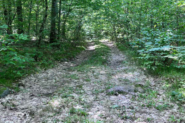
Forest Road 2330B
Forest Road 2330B begins at the intersection of Sullivan Springs Road - FS 2330 and extends west .8 miles, ending at the eastern banks of the North Branch of the Oconto River across from Snow Falls State Natural Area. The terrain of the trail starts out with multiple ruts and small exposed rocks, th...
Learn more about Forest Road 2330B
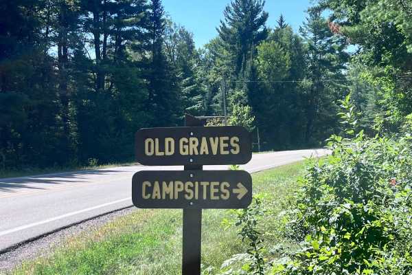
Old Grave Road
Old Grave Road - FS 2317 begins at the west intersection of County Road T, just south of the bridge over the Oconto River near the Barrier Free dispersed campsites. The road begins as a smooth gravel surface capable of accommodating most vehicles and trailers. After the first mile, the route narrows...
Learn more about Old Grave Road
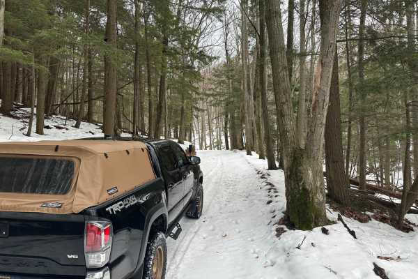
Shauger Hill Road
This is a wonderful drive through Sleeping Bear Dunes National Lakeshore. The trail is accessed off of South Dune Highway or off of North Bar Lake Road. The terrain is quite hilly and is primarily a beech-maple forest. Starting the trail off of North Bar Lake, you will start with ascending 368 feet ...
Learn more about Shauger Hill Road
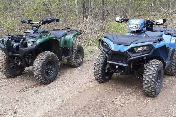
Great Bear Trail
There are a variety of dirt, sand, and gravel routes through forest roads that span from this route. It winds along a few small lakes through Oconto County. The trail runs from Lakewood south through the mountain area and wraps up close to Boulder Lake with a few route alternatives if you want to ex...
Learn more about Great Bear Trail
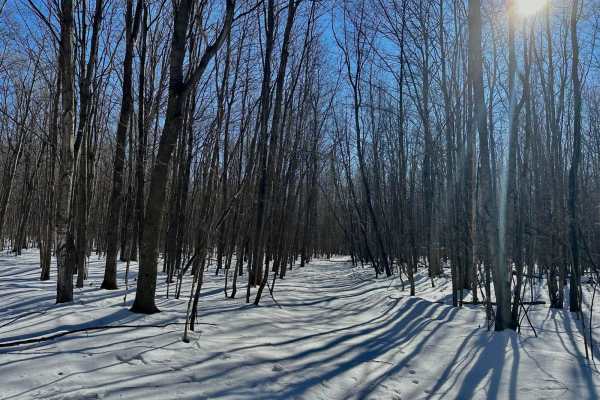
Deer Track Trail
Deer Track Trail gets its name from the immense amount of deer signs in the area. This is definitely a great trail to take if you want to see some incredible wildlife. This route is mostly a dirt/sand mix. Most of the trail is tight and will require some slower careful driving. This trail loops thro...
Learn more about Deer Track Trail
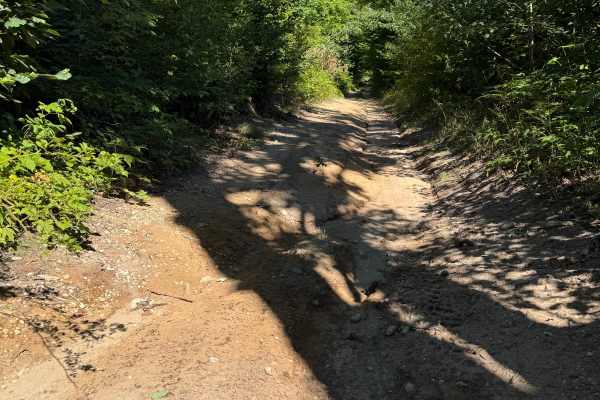
Alkire Trail
Alkire Trail is a unique and scenic 1-mile bidirectional trail within the Traverse City Forest Management Unit. Located between Big 4-Norconk Trail and Alkire Road, this trail is easily accessible. Starting out, the trail surface consists mostly of dirt and gravel. It quickly transitions to a dirt-a...
Learn more about Alkire Trail
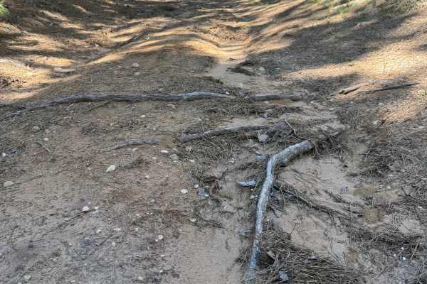
Lumley-Glovers Trail
Lumley-Glovers Trail is a classic Michigan two-track off-road bidirectional trail within the Traverse City Forest Management Unit. Located between Lumley Trail and 604, this trail is easily accessible. This trail surface consists mostly of dirt and sand and does get pretty tight throughout. You'll a...
Learn more about Lumley-Glovers Trail
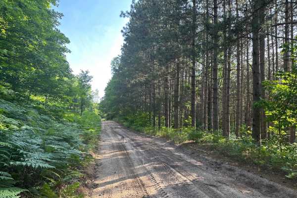
Fortine Road
This is a moderate route that cuts through the Traverse City Forest Management Unit. The trail is primarily sandy with some areas that have a rocky base. There isn't any specific obstacles other then some deep sandy corners. It would be advisable to air the tires down to give you a more enjoyable ri...
Learn more about Fortine Road
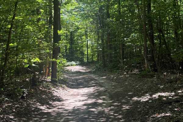
Big 4-Norconk-Swanson Connector Trail
Big 4-Norconk-Swanson Connector Trail is a quick bidirectional trail within the Traverse City Forest Management Unit. Located between Big 4-Norconk Trail and Swanson Trail, this trail is easily accessible. Starting out, you'll begin on a mostly dirt Michigan two-track off-road trail. This is such a ...
Learn more about Big 4-Norconk-Swanson Connector Trail
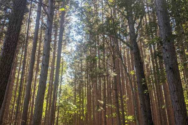
5757
Forest Road 5757 is an easygoing sandy route that offers a scenic, tranquil escape through the Manistee National Forest for beginner offroaders, stock SUVs, and SxSs looking to experience Michigan's lush woodland terrain. Winding through a dense canopy of towering hardwoods and pines with vibrant fe...
Learn more about 5757
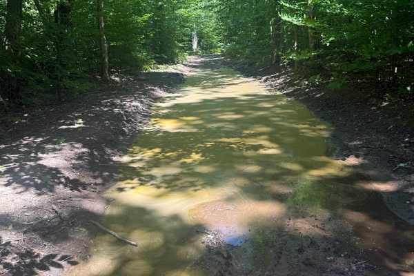
Big 4-Norconk Connector Trail
Big 4-Norconk Connector Trail is a muddy, muddy mess of a bidirectional trail within the Traverse City Forest Management Unit. Located between Big 4-Norconk Trail on both sides, this trail is easily accessible. Starting out, you'll begin on a grassy/sandy two-track in a clearing of the forest. As yo...
Learn more about Big 4-Norconk Connector Trail
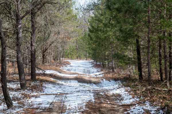
FS 5690
FS 5690 is a great, easy two-track route through the Manistee National Forest. The trail has a dirt base, is typically one vehicle wide, and includes occasional spots for passing. The main access point is off Morton Road on the south end. While the trail is generally not difficult, there are a few l...
Learn more about FS 5690
ATV trails near Sturgeon Bay, Wisconsin
Explore ATV-friendly trails near you. These trails are accessible for vehicles up to 50 inches wide, perfect for ATVs and smaller off-road machines.
Trail FIT - FR 13044
Trail FIT - FR 13044 is the southernmost ATV and SxS trail located in the Forest Island Trail system. This trail navigates from its intersection with Forest Road 14571 to its northern intersection with Forest Road 13041 and Forest Road 34613. This trail, if traveled from the southern trailhead north...
Learn more about Trail FIT - FR 13044
#409-425 Pipeline Road to HWY 64 East
This 31.3-mile point-to-point trail in Oconto County follows an old railroad grade from the Lakewood area south toward Mountain and the Chute Pond recreation area. Designed for ATVs and side-by-sides, the route features fast, flowy, and winding dirt trails with large banked corners winding through s...
Learn more about #409-425 Pipeline Road to HWY 64 East
Dam Dead End
This easily flowing trail runs along the Peshtigo River, which flows down from the Johnson Fall Hydroelectric Dam. The trail features a mix of sandy whoops, hills, and scenic lookouts over the river. It eventually reaches a three-way dead end with gates at each split. A nice camping spot in one of t...
Learn more about Dam Dead End
Fir - Forest Road 13042
Fir - Forest Road 13042 is a there-and-back trail open to all vehicle types, but it ends at an ungated ORV trail. This trail makes up the southern portion of the FIR route and runs from its intersection with Forest Road 13043 and Forest Road 34615 to its endpoint at FIT South. This trail is a modera...
Learn more about Fir - Forest Road 13042
UTV/side-by-side trails near Sturgeon Bay, Wisconsin
Find UTV and side-by-side trails near you. These trails accommodate vehicles up to 60 inches wide, ideal for UTVs, side-by-sides, and wider off-road rigs.
Trail FIT - FR 13044
Trail FIT - FR 13044 is the southernmost ATV and SxS trail located in the Forest Island Trail system. This trail navigates from its intersection with Forest Road 14571 to its northern intersection with Forest Road 13041 and Forest Road 34613. This trail, if traveled from the southern trailhead north...
Learn more about Trail FIT - FR 13044
#409-425 Pipeline Road to HWY 64 East
This 31.3-mile point-to-point trail in Oconto County follows an old railroad grade from the Lakewood area south toward Mountain and the Chute Pond recreation area. Designed for ATVs and side-by-sides, the route features fast, flowy, and winding dirt trails with large banked corners winding through s...
Learn more about #409-425 Pipeline Road to HWY 64 East
Dam Dead End
This easily flowing trail runs along the Peshtigo River, which flows down from the Johnson Fall Hydroelectric Dam. The trail features a mix of sandy whoops, hills, and scenic lookouts over the river. It eventually reaches a three-way dead end with gates at each split. A nice camping spot in one of t...
Learn more about Dam Dead End
Fir - Forest Road 13042
Fir - Forest Road 13042 is a there-and-back trail open to all vehicle types, but it ends at an ungated ORV trail. This trail makes up the southern portion of the FIR route and runs from its intersection with Forest Road 13043 and Forest Road 34615 to its endpoint at FIT South. This trail is a modera...
Learn more about Fir - Forest Road 13042
The onX Offroad Difference
onX Offroad combines trail photos, descriptions, difficulty ratings, width restrictions, seasonality, and more in a user-friendly interface. Available on all devices, with offline access and full compatibility with CarPlay and Android Auto. Discover what you're missing today!
Open Trail Map