Trail Overview
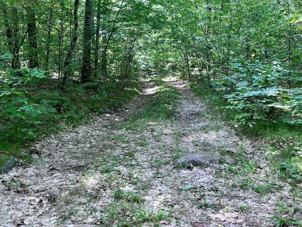
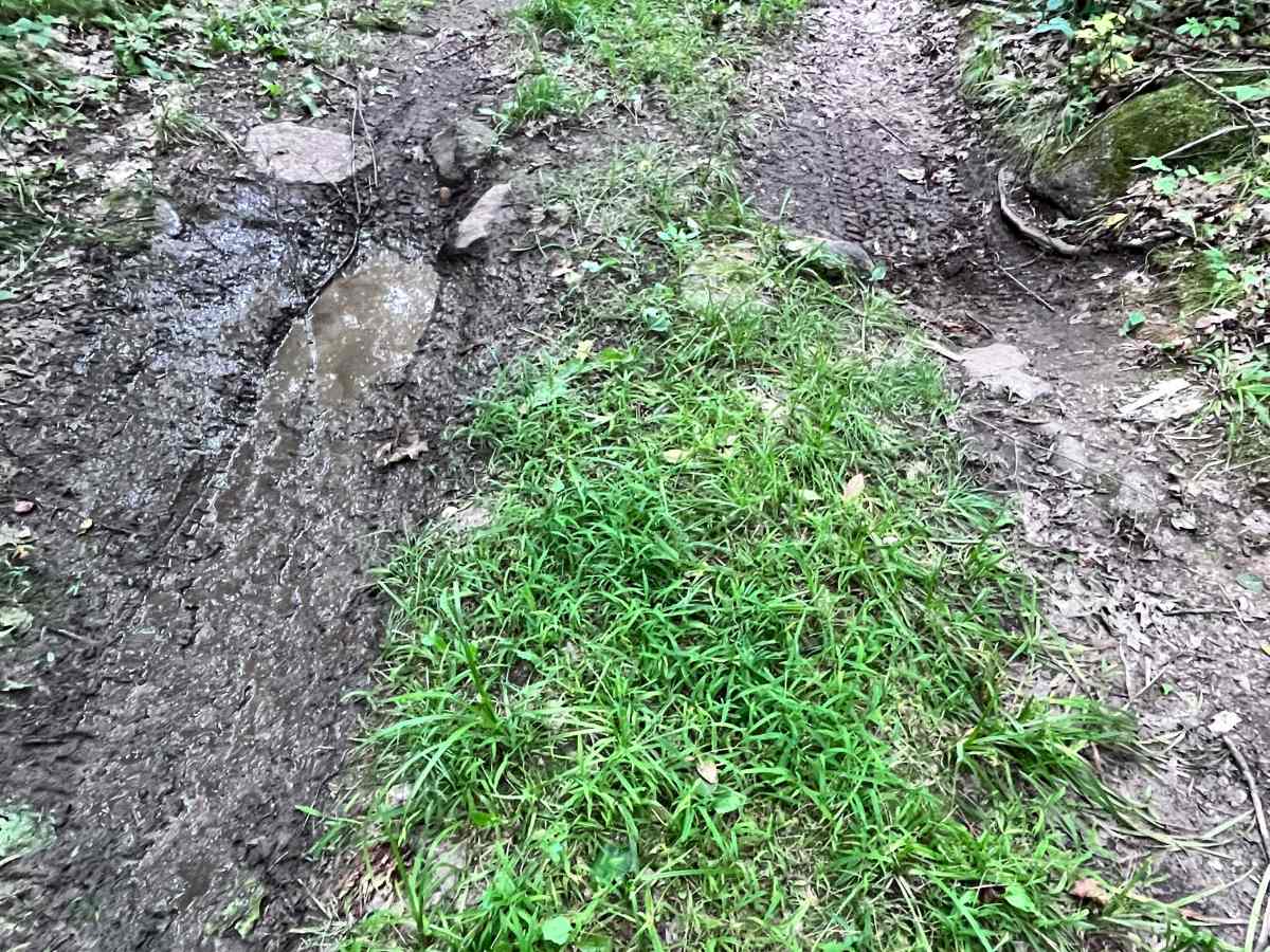
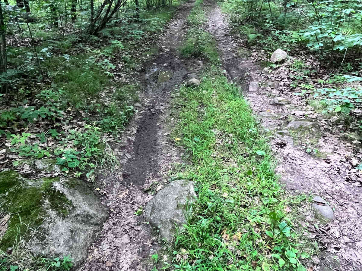
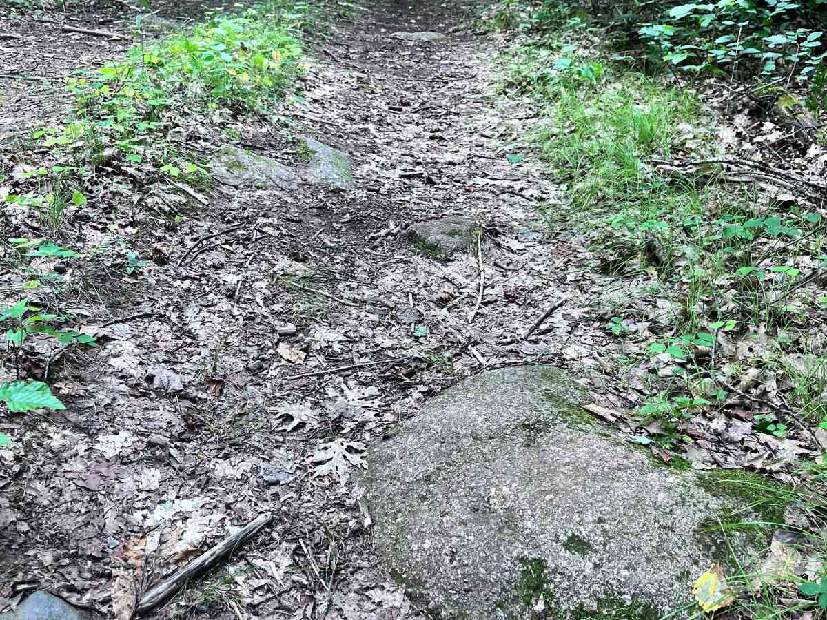
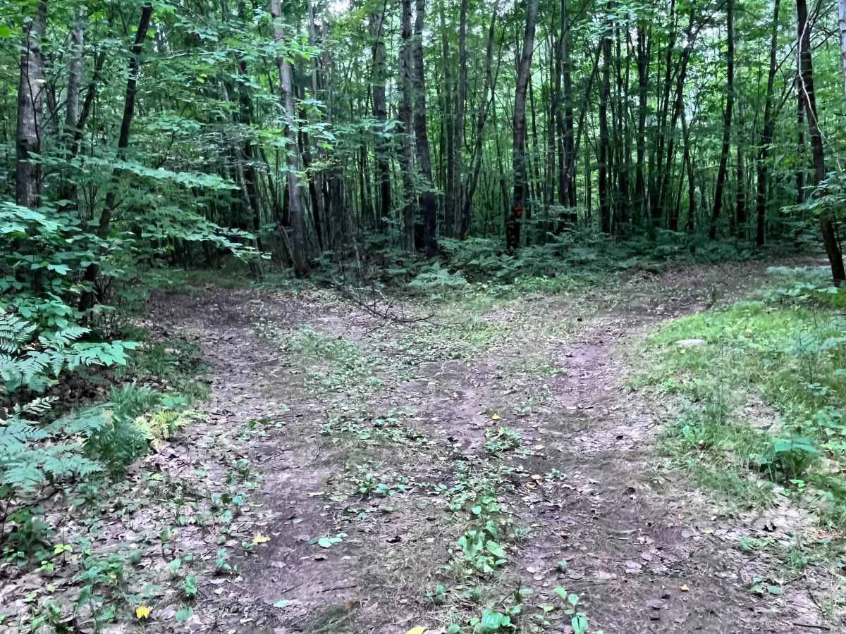
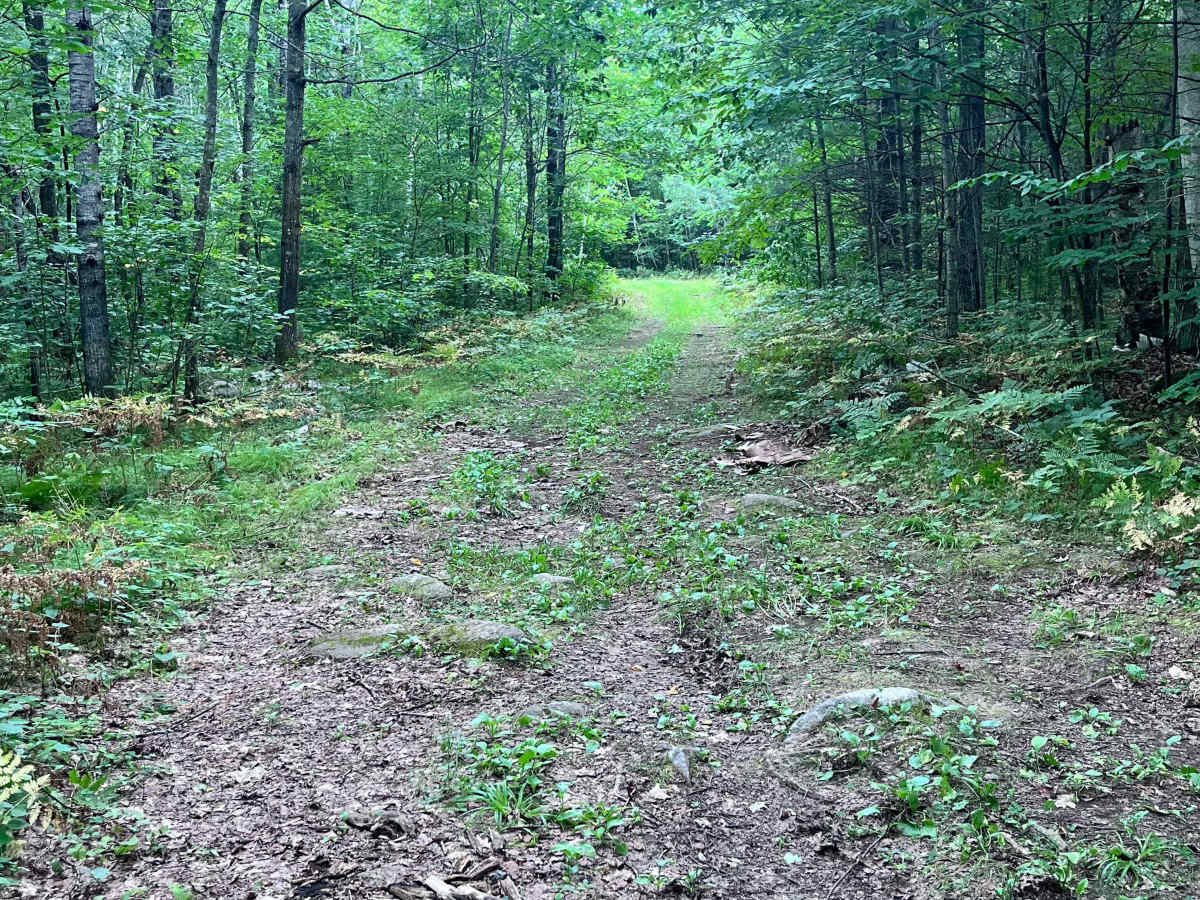
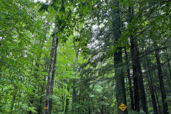
Forest Road 2330B begins at the intersection of Sullivan Springs Road - FS 2330 and extends west .8 miles, ending at the eastern banks of the North Branch of the Oconto River across from Snow Falls State Natural Area. The terrain of the trail starts out with multiple ruts and small exposed rocks, then continues through the scenic, dense Chequamegon Nicolet National Forest along a dirt-packed narrow trail. There are pockets of small, exposed rocks and minor ruts along the entire route, making this accessible to any off-road vehicle, SUV, or ATV. The end of the trail offers a medium-sized opening for dispersed camping with a stone fire pit. A few hundred feet further on foot, the Oconto River runs through the forest. Vehicles pulling small trailers may access this trail; however, they will need to travel to the end to turn around.