Trail Overview
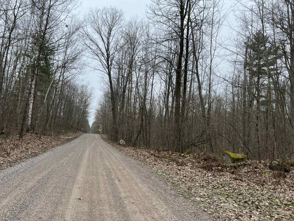
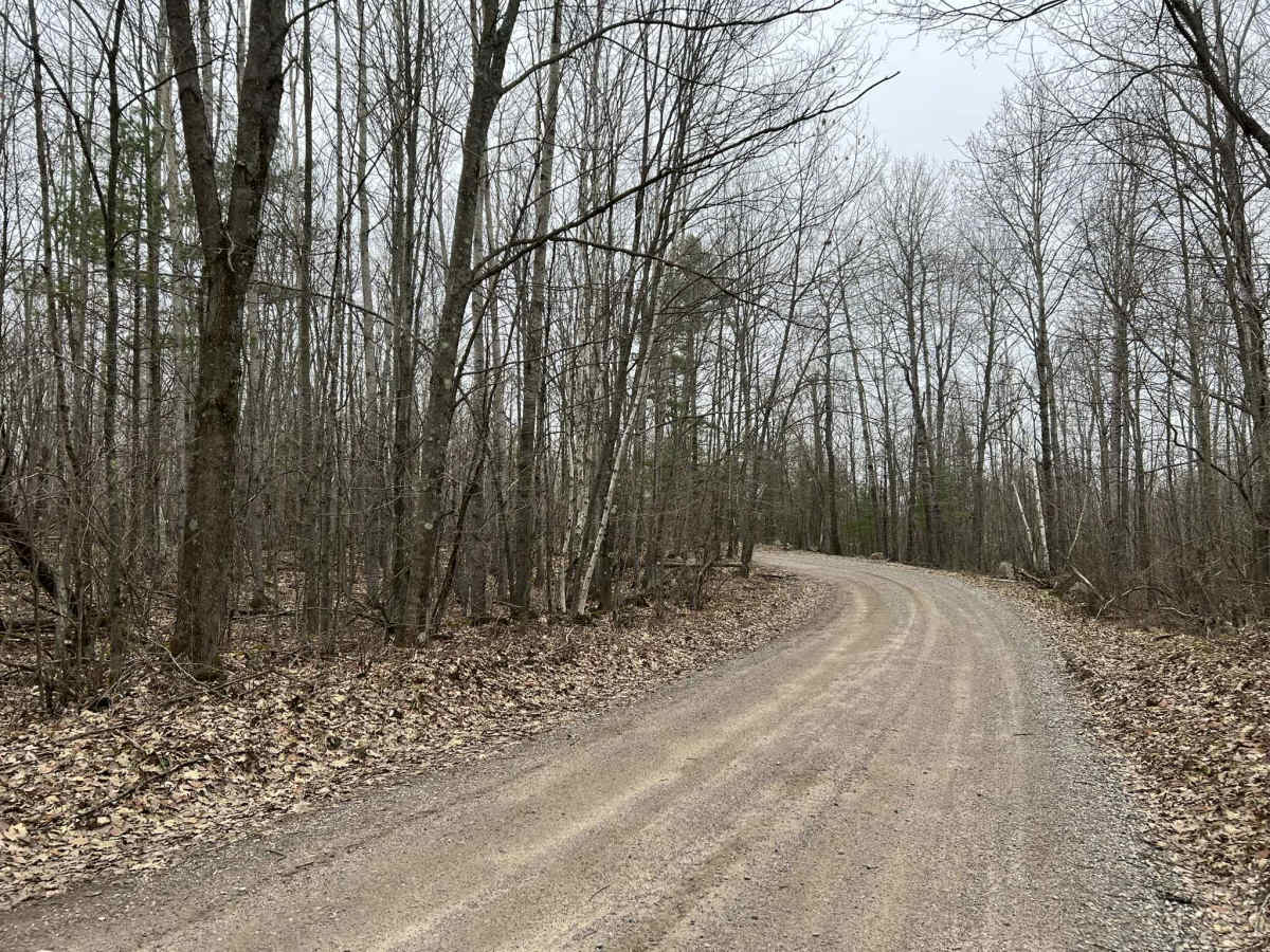
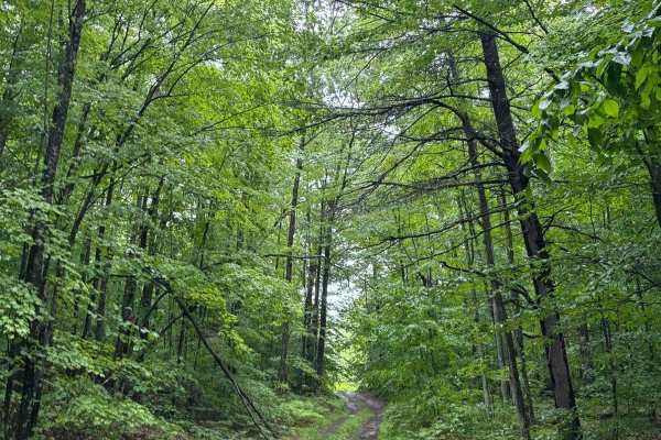
Sullivan Springs Road - FS 2330 navigates from its intersection with Tar Damn Road, FS 2104, and navigates to its intersection with Smyth Road. This trail, like several others in the area, is mildly maintained with a gravel base throughout most of its length. The trail varies in width from two vehicles wide to just over one vehicle wide, but there is room in most areas to pull off and allow for other vehicles to pass. The trail, as well as the surrounding terrain, consists of rolling hills and dense old-growth tree coverage. Sight lines on the trail itself are good; anything outside of the trail into the woods is dense and hard to see. This density increases in the summer months. Several trails intersect this trail, leading to more remote and less-maintained areas of the Nicolet National Forest. The northern end of this trail has a parking area for the former site of CCC Camp Lakewood, as well as several private properties and residences that border it. Increased traffic in these areas is likely, so extra caution should be taken when navigating this portion of the trail. Cell coverage throughout this trail is good in most areas, although there can be a loss of coverage in specific sections. The trail is open to road-going vehicles as well as OHVs.
Difficulty
This trail can be completed by riders of all experience levels. It is moderately maintained and has a surface that lends itself to being beginner-friendly. If ridden immediately after a heavy rainfall, there is potential for small washouts or debris on the trail. The trail has minimal overgrowth and has excellent sight lines. There is also enough room to pull over for vehicles to safely pass each other.