Trail Overview
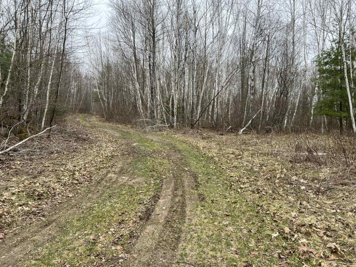
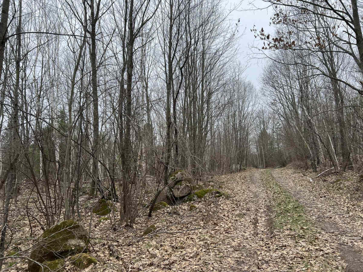
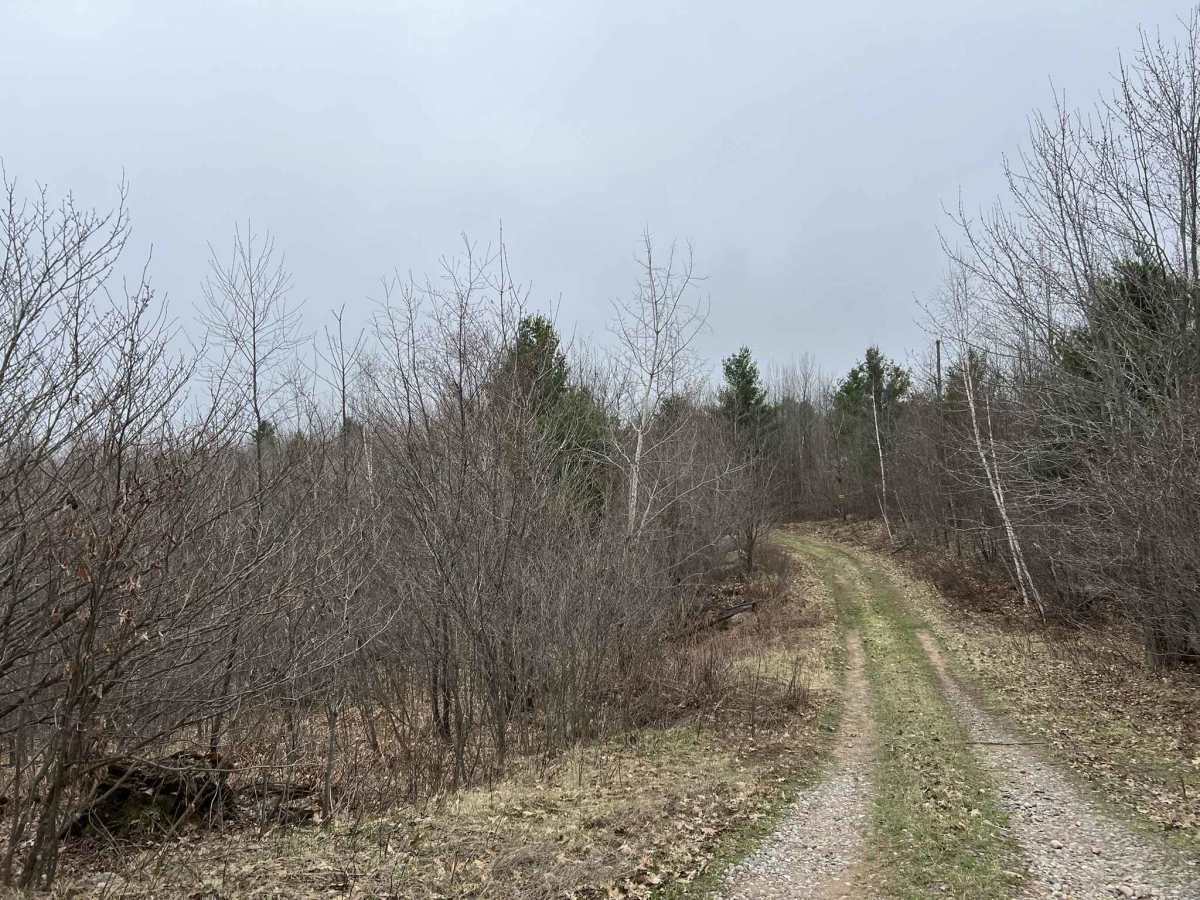
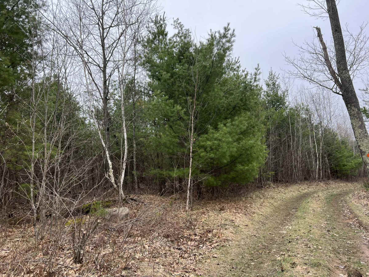
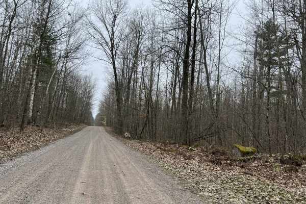
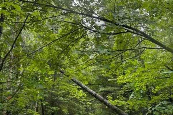
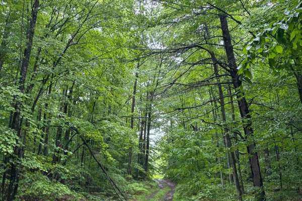
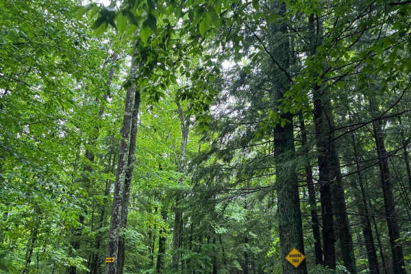
FS 2326B begins at its intersection with FS 2326 and travels to its intersection with Fr 2330E. This is a rugged 2-track trail that is not regularly maintained. The trail is overgrown in most places, with only a few areas opening up enough to allow for vehicles to pass one another. The trail surface is mostly dirt, with some areas having grass coverage or exposed rock on hillsides from runoff. There are a couple of low-lying portions of the trail that fill up with water and will turn to mud after rainfall. The terrain is similar to most other trails in the area, with subtle rolling hills. The surrounding scenery is mostly made up of young trees, with scattered mature trees. Cell coverage in the area is okay; however, depending on network demand, service could slow down. It is always a safe bet to have maps downloaded for offline use.
Difficulty
This is a narrow, dirt two-track trail. Expect small washouts, small mud holes, debris lying on the trail, and overhanging the trail. There are sections of the trail where passing oncoming traffic can be done; however, in some areas on of the vehicles may need to reverse to allow for passage. Sight lines on this trail are okay to good.