
Dirt Bike Trails
Near South Van Buren, Missouri
Explore All Dirt Bike Trails Near South Van Buren, Missouri
Dirt Bike Trails Near South Van Buren, Missouri
Discover the best dirt bike trails near you. Browse trail maps, check difficulty ratings, and find your next adventure — whether you're looking for a quick ride or an all-day expedition.
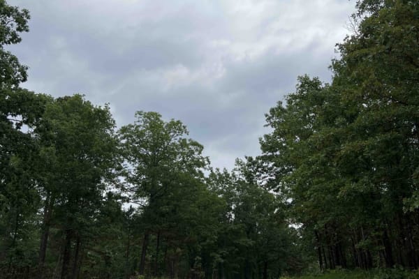
Turkey Knob 3145
Turkey Knob 3145 is an easy gravel road that takes you off-road from highway 60 south to highway 160 and is 23.8 miles long. When you first turn off of highway 60, you will find signs on the Decline of the Shortleaf Pine which is a collaborative project with several organizations to help bring the s...
Learn more about Turkey Knob 3145
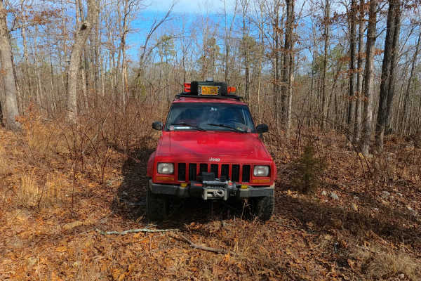
Exchange - FS 4101
Exchange (FS 4101) is a gravel and dirt forest service road within the Mark Twain National Forest, Doniphan / Eleven Point Unit. Exchange starts on the north shoulder of US-60 heading east-northeast into the woods, first climbing up the right-of-way embankment along the highway to meet the FS ID mar...
Learn more about Exchange - FS 4101
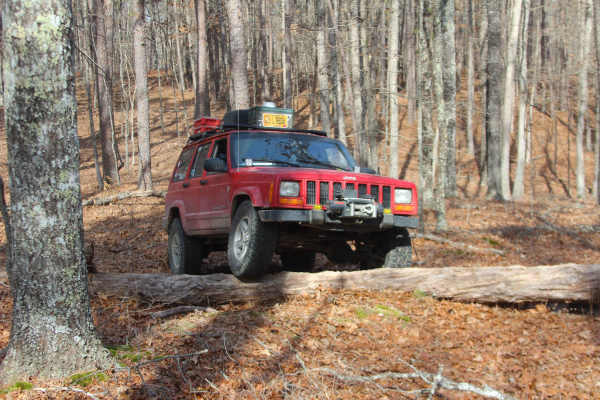
Ebb Spring - FS 4100
Ebb Spring (FS 4100) is a natural terrain forest service road within the Mark Twain National Forest, Doniphan / Eleven Point Unit. Ebb Spring is a short adventure starting from the north shoulder of US Route 60 heading north into the woods, passing the spur with a gate on the right at the entry, to ...
Learn more about Ebb Spring - FS 4100
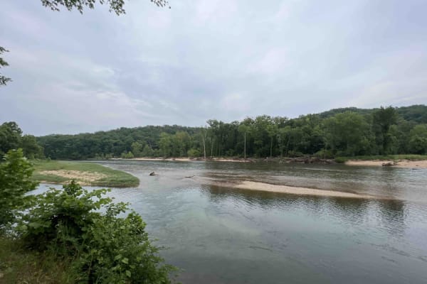
Gooseneck 3412
Gooseneck 3412 is a beautiful scenic drive along an easy gravel road that is well-maintained through the Mark Twain National Forest. This route is situated just southwest of Grandin, Missouri on the Current River in the Ozark National Scenic Riverway. This route leads to the Gooseneck Campground whe...
Learn more about Gooseneck 3412
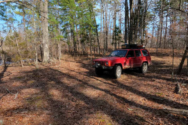
Tucker Road - FS 4099
Tucker Road (FS 4099) is a gravel, leaning into natural dirt forest road, within the Mark Twain National Forest, Doniphan / Eleven Point Unit. Tucker Road begins on the north shoulder of US Route 60 heading north into the woods, climbing uphill along the highway clearing, to turn into the dense wood...
Learn more about Tucker Road - FS 4099
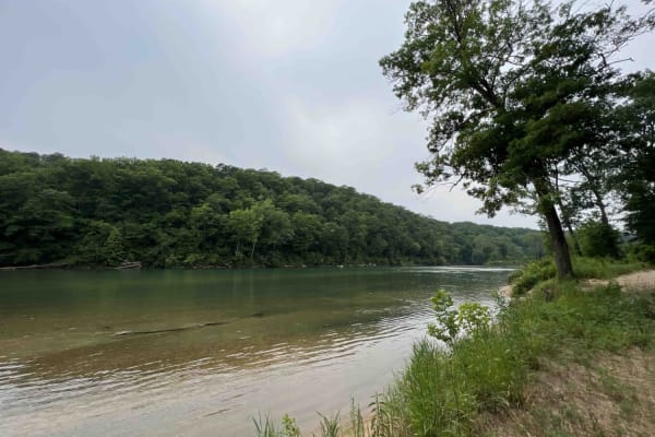
Bay Nothing Recreation Area 3140
Forest Road 3140 starts at an elevation of 748 feet and then drops to an elevation of 381 feet at the river. This route is an easy gravel road that curves through the Mark Twain National Forest which is located in Missouri. 3140 ends at the Current River which is a part of the Ozark National Scenic ...
Learn more about Bay Nothing Recreation Area 3140
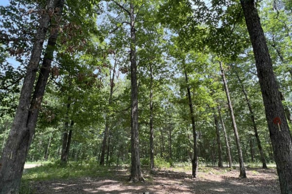
Current River Conservation Area
The Current River Conservation was created by combining Deer Run, Carrs Creek, Cardareva and Paint Rock State Forests combining 28,000 acres. The trail starts as #1 on the map which is provided at the beginning of the trail. Current River Conservation trail leads you down an easy gravel road however...
Learn more about Current River Conservation Area
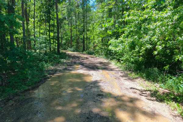
Smith Chapel - FS 3758
Smith Chapel (FS 3758) is a dirt and gravel Forest Service road within the Poplar Bluff Unit of Mark Twain National Forest. Smith Chapel begins at Carter County Road 257, heading west into the dense tree lines of the forest, splashing through a water collection spot or well-shaded wet area at the en...
Learn more about Smith Chapel - FS 3758
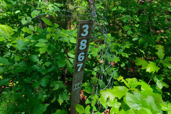
Ants - FS 3867
Ants (FS 3867) is a natural gravel and dirt road within the Poplar Bluff Unit of Mark Twain National Forest. Ants pathway leads into a lower swamp-like valley along a water runoff channel, which feeds the wet nature of the terrain that is present on this road. This includes terrain such as surface m...
Learn more about Ants - FS 3867
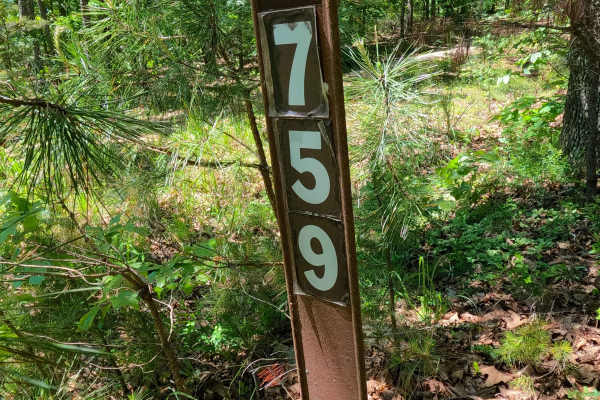
West Cane - FS 3759
West Cane (FS 3759) is a gravel Forest Service road within the Poplar Bluff Unit of Mark Twain National Forest. Starting from Carter County Road 256, heads north, going uphill from the entry, crossing mild erosion rutting of the gravel with natural rocks poking out of the surface, to climb to the ri...
Learn more about West Cane - FS 3759
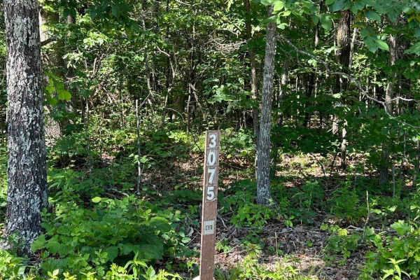
Kelly Ridge- FSR 3075
Kelly Ridge, located within the Mark Twain National Forest, is Forest Service Road 3075 located off Highway A, between Williamsville and Ellsinore. This scenic off-road trail predominantly consists of gravel and is generally well-maintained. While there are a couple of small washouts along the route...
Learn more about Kelly Ridge- FSR 3075
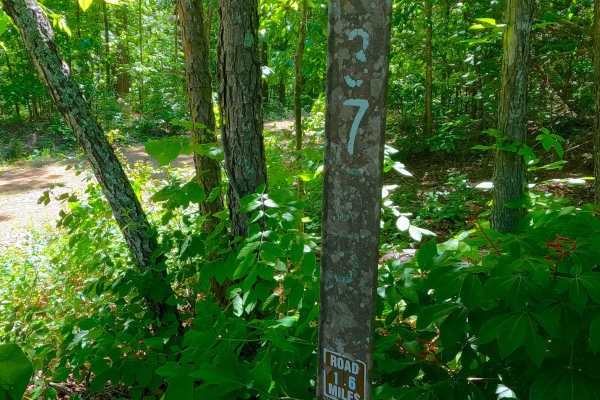
South Boundary - FS 3755
South Boundary (FS 3755) is a gravel and dirt Forest Service road within the Poplar Bluff Unit of Mark Twain National Forest. South Boundary starts heading west off Missouri Route K in Carter County, first riding to the north of a feeder branch of the Tenmile Creek, before turning south to cross the...
Learn more about South Boundary - FS 3755
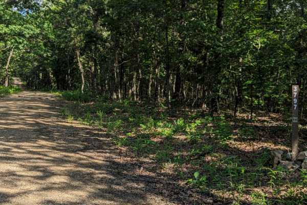
Little Brushy Ridge
Little Brushy Ridge (FSR 3797) is a forest service road branching off Kelly Ridge (FSR 3075). Initially, it is a well-maintained gravel road for the first 3/4 of the trail, suitable for all vehicle types without concern. At this point, an open area appears where the trail veers to the right. This ar...
Learn more about Little Brushy Ridge
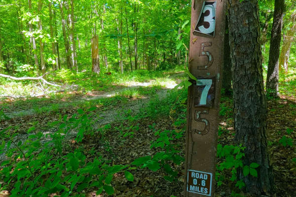
South Cane - FS 3575
South Cane (FS 3575) is a gravel Forest Service road within the Poplar Bluff Unit of Mark Twain National Forest. Starting from the westbound lanes of US-60, the road heads north, descending downhill into the dense forest foliage. The path is made up of coarse rock, crossing a small brook featuring a...
Learn more about South Cane - FS 3575
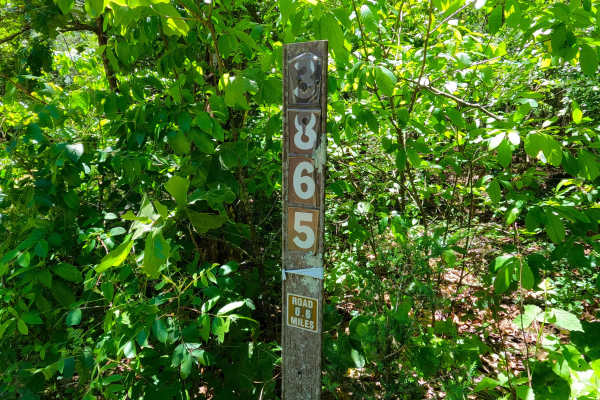
Spot - FS 3865
Spot (FS 3865) is a gravel and dirt Forest Service road within the Poplar Bluff Unit of Mark Twain National Forest. Starting from Carter County Road 256, heads south, going slightly downhill from the entry, with the terrain being based on a beaten mostly dirt road, with features of rutting, active e...
Learn more about Spot - FS 3865
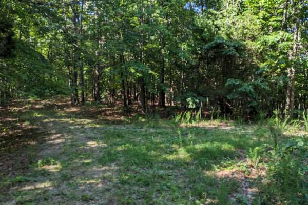
East Kelly Ridge
East Kelly Ridge, designated as Forest Service Road 3077 branching off from Kelly Ridge, offers a journey through well-maintained gravel paths. In the summer, parts of the trail may be partially obscured by tall grass growth. Expect narrow sections along the route that may leave pinstripes on vehicl...
Learn more about East Kelly Ridge
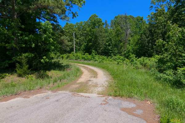
Kearney Cemetery - FS 3702
Kearney Cemetery (FS 3702), named (though misspelled) after the nearby Kearbey Cemetery, is a natural gravel and dirt road within the Poplar Bluff Unit of Mark Twain National Forest. Starting from the westbound lanes of US-60, the road first crosses the powerline tract that parallels the highway, th...
Learn more about Kearney Cemetery - FS 3702
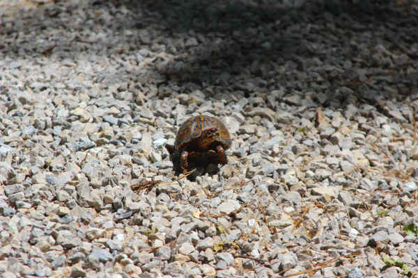
Pump Hollow - FS 3753
Pump Hollow (FS 3753) is a semi-maintained gravel forest service road within the Poplar Bluff Unit of Mark Twain National Forest. Starting from the eastbound lanes of US-60, the road heads south, onto the ridge that parallels the Carter and Butler county line, having mild elevation changes over reas...
Learn more about Pump Hollow - FS 3753
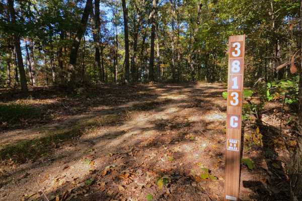
Prospect C - FS 3813C
Prospect C (FS 3813C) is a low-standard natural gravel and dirt forest service road, within the Poplar Bluff Unit of Mark Twain National Forest. The road begins at the intersection with the New Prospect FS 3813 and Prospect B (FS 3813B), where Prospect C continues eastward, gradually going downhill,...
Learn more about Prospect C - FS 3813C
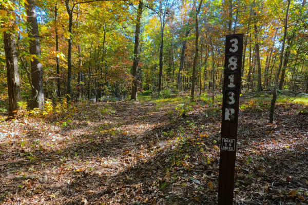
Prospect B - FS 3813B
Prospect B (FS 3813B) is a low-standard natural gravel and dirt forest service road within the Poplar Bluff Unit of Mark Twain National Forest. The road heads south from the New Prospect (FS 3813), featuring mild grade changes, as the road surface fades quickly from maintained gravel into natural co...
Learn more about Prospect B - FS 3813B
ATV trails near South Van Buren, Missouri
Explore ATV-friendly trails near you. These trails are accessible for vehicles up to 50 inches wide, perfect for ATVs and smaller off-road machines.
Turkey Knob 3145
Turkey Knob 3145 is an easy gravel road that takes you off-road from highway 60 south to highway 160 and is 23.8 miles long. When you first turn off of highway 60, you will find signs on the Decline of the Shortleaf Pine which is a collaborative project with several organizations to help bring the s...
Learn more about Turkey Knob 3145
Exchange - FS 4101
Exchange (FS 4101) is a gravel and dirt forest service road within the Mark Twain National Forest, Doniphan / Eleven Point Unit. Exchange starts on the north shoulder of US-60 heading east-northeast into the woods, first climbing up the right-of-way embankment along the highway to meet the FS ID mar...
Learn more about Exchange - FS 4101
Ebb Spring - FS 4100
Ebb Spring (FS 4100) is a natural terrain forest service road within the Mark Twain National Forest, Doniphan / Eleven Point Unit. Ebb Spring is a short adventure starting from the north shoulder of US Route 60 heading north into the woods, passing the spur with a gate on the right at the entry, to ...
Learn more about Ebb Spring - FS 4100
Gooseneck 3412
Gooseneck 3412 is a beautiful scenic drive along an easy gravel road that is well-maintained through the Mark Twain National Forest. This route is situated just southwest of Grandin, Missouri on the Current River in the Ozark National Scenic Riverway. This route leads to the Gooseneck Campground whe...
Learn more about Gooseneck 3412
UTV/side-by-side trails near South Van Buren, Missouri
Find UTV and side-by-side trails near you. These trails accommodate vehicles up to 60 inches wide, ideal for UTVs, side-by-sides, and wider off-road rigs.
Turkey Knob 3145
Turkey Knob 3145 is an easy gravel road that takes you off-road from highway 60 south to highway 160 and is 23.8 miles long. When you first turn off of highway 60, you will find signs on the Decline of the Shortleaf Pine which is a collaborative project with several organizations to help bring the s...
Learn more about Turkey Knob 3145
Exchange - FS 4101
Exchange (FS 4101) is a gravel and dirt forest service road within the Mark Twain National Forest, Doniphan / Eleven Point Unit. Exchange starts on the north shoulder of US-60 heading east-northeast into the woods, first climbing up the right-of-way embankment along the highway to meet the FS ID mar...
Learn more about Exchange - FS 4101
Ebb Spring - FS 4100
Ebb Spring (FS 4100) is a natural terrain forest service road within the Mark Twain National Forest, Doniphan / Eleven Point Unit. Ebb Spring is a short adventure starting from the north shoulder of US Route 60 heading north into the woods, passing the spur with a gate on the right at the entry, to ...
Learn more about Ebb Spring - FS 4100
Gooseneck 3412
Gooseneck 3412 is a beautiful scenic drive along an easy gravel road that is well-maintained through the Mark Twain National Forest. This route is situated just southwest of Grandin, Missouri on the Current River in the Ozark National Scenic Riverway. This route leads to the Gooseneck Campground whe...
Learn more about Gooseneck 3412
The onX Offroad Difference
onX Offroad combines trail photos, descriptions, difficulty ratings, width restrictions, seasonality, and more in a user-friendly interface. Available on all devices, with offline access and full compatibility with CarPlay and Android Auto. Discover what you're missing today!
Open Trail Map