Trail Overview
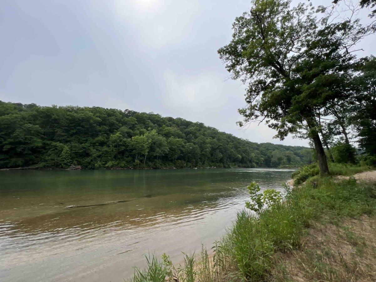
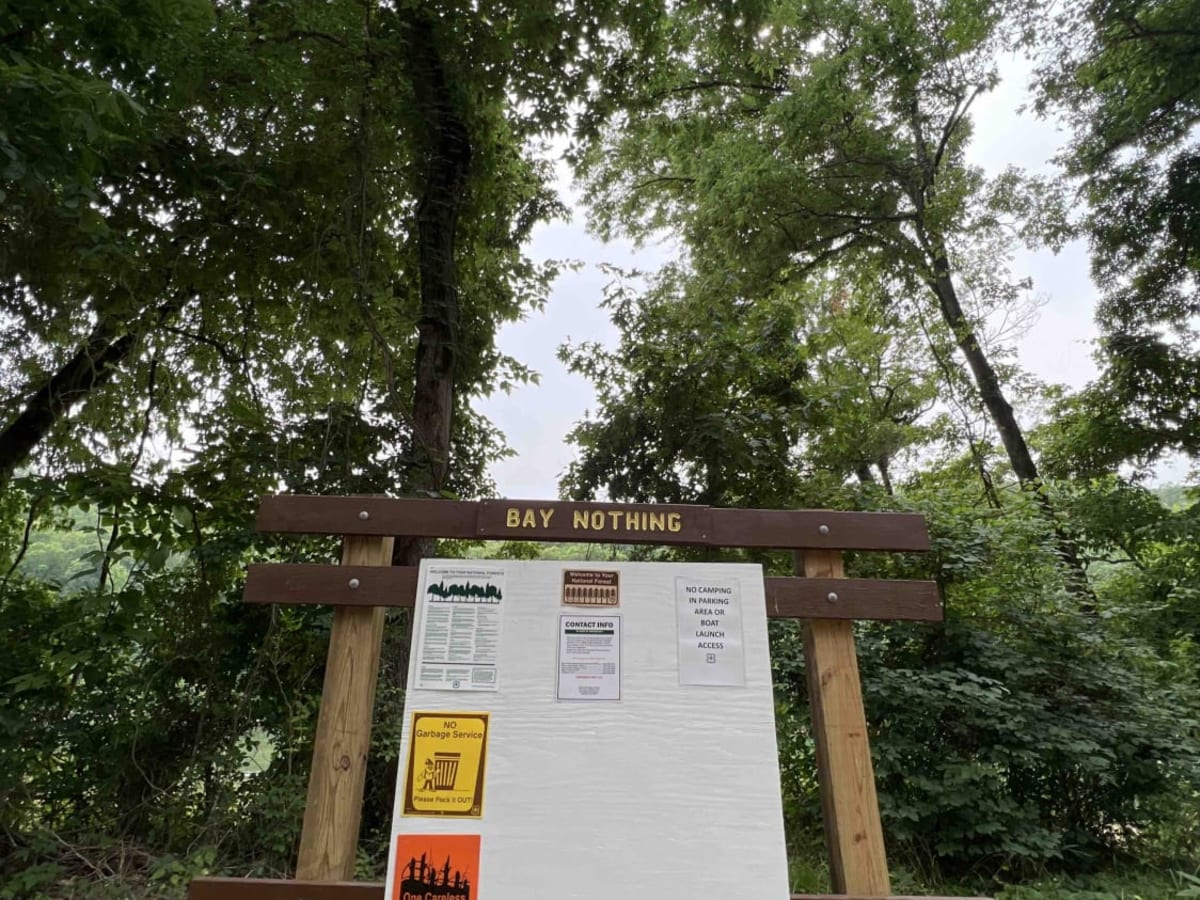
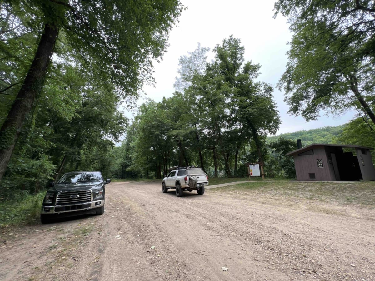
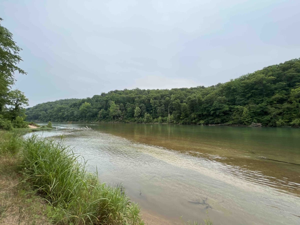
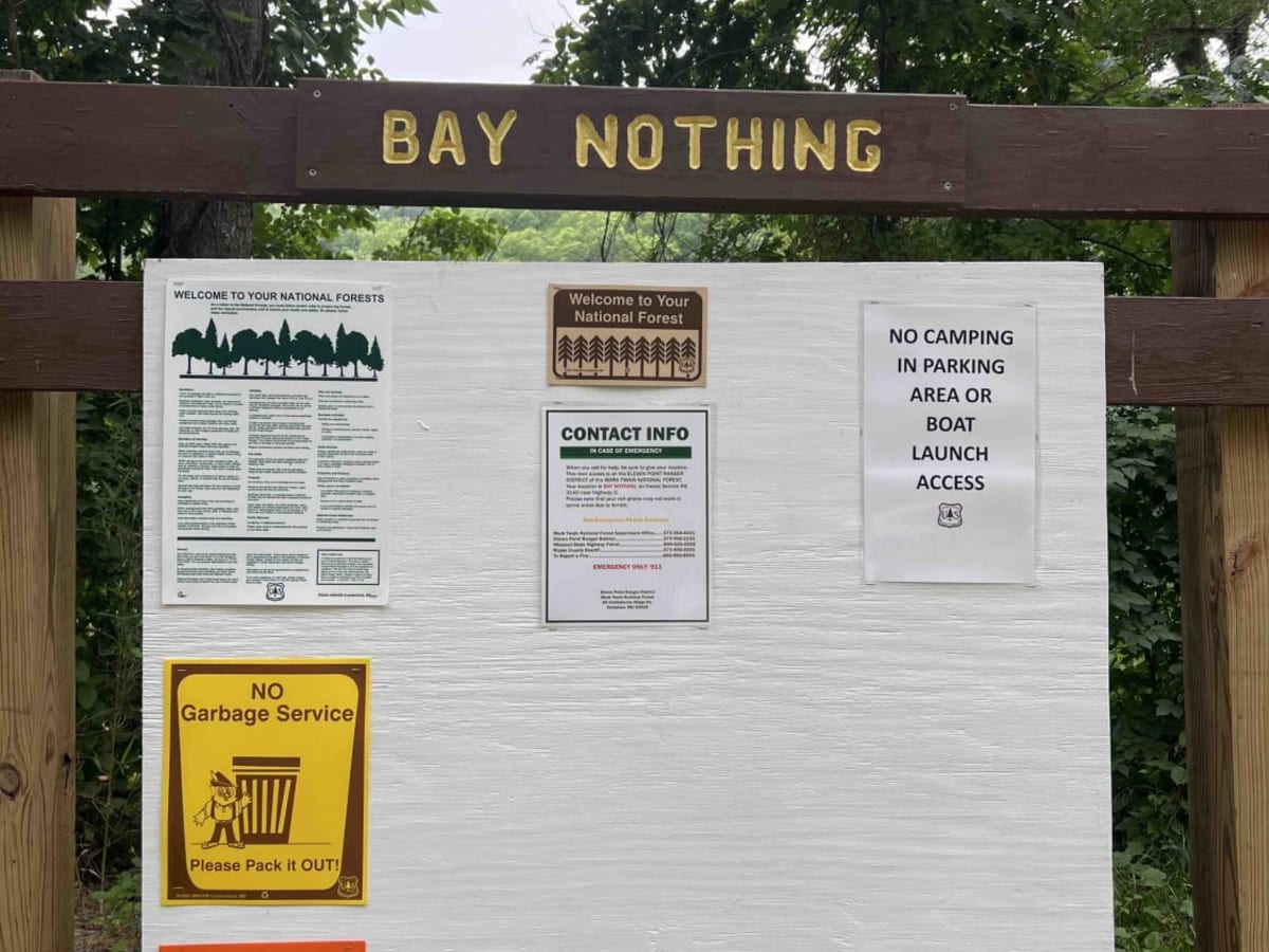
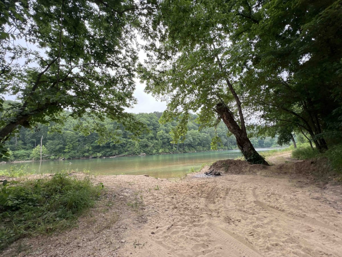
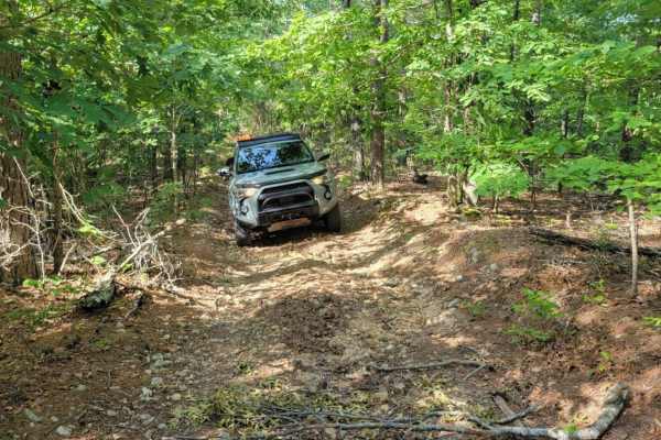
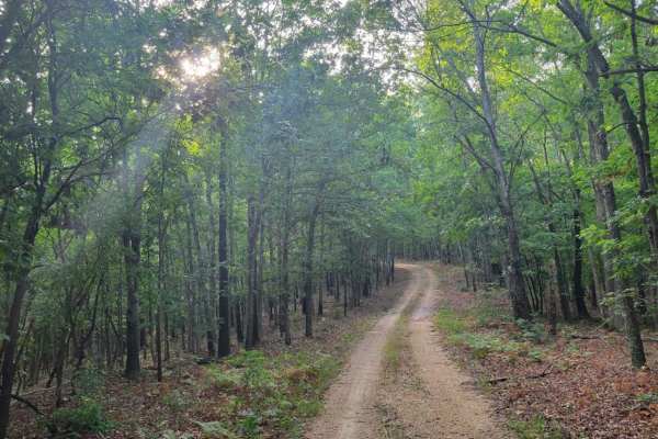
Forest Road 3140 starts at an elevation of 748 feet and then drops to an elevation of 381 feet at the river. This route is an easy gravel road that curves through the Mark Twain National Forest which is located in Missouri. 3140 ends at the Current River which is a part of the Ozark National Scenic Riverway. There you will find Bay Nothing Recreation Area and Boat Launch. There are restrooms, dispersed camping, fishing, rafting, and floating. Cell phone service is very limited in areas of the forest so be prepared. Trucks with boat trailers are limited at the bottom due to the limited parking. Dispersed camping is free but not allowed in the parking area or the boat launch. Some other things to explore would be the spur trail 3140B to Jokes Valley. Missouri is known for its glow bugs along with an assortment of other bugs so bring the bug spray. The best times to visit this area will be spring, summer, and fall as the winters can be very cold in this region. Severe weather can be a factor in this part of the United States which can bring strong storms. If you are planning a trip in this area check the local forecast to ensure the weather will be decent.
History
In the early 19th century to the mid 1960's this area was forested for its timber and was a thriving industry in the area which supported its community until it became a national park. Here is some more information on the history of this area. https://www.nps.gov/ozar/learn/historyculture/establishment.htm