Trail Overview
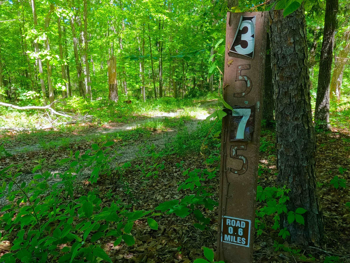
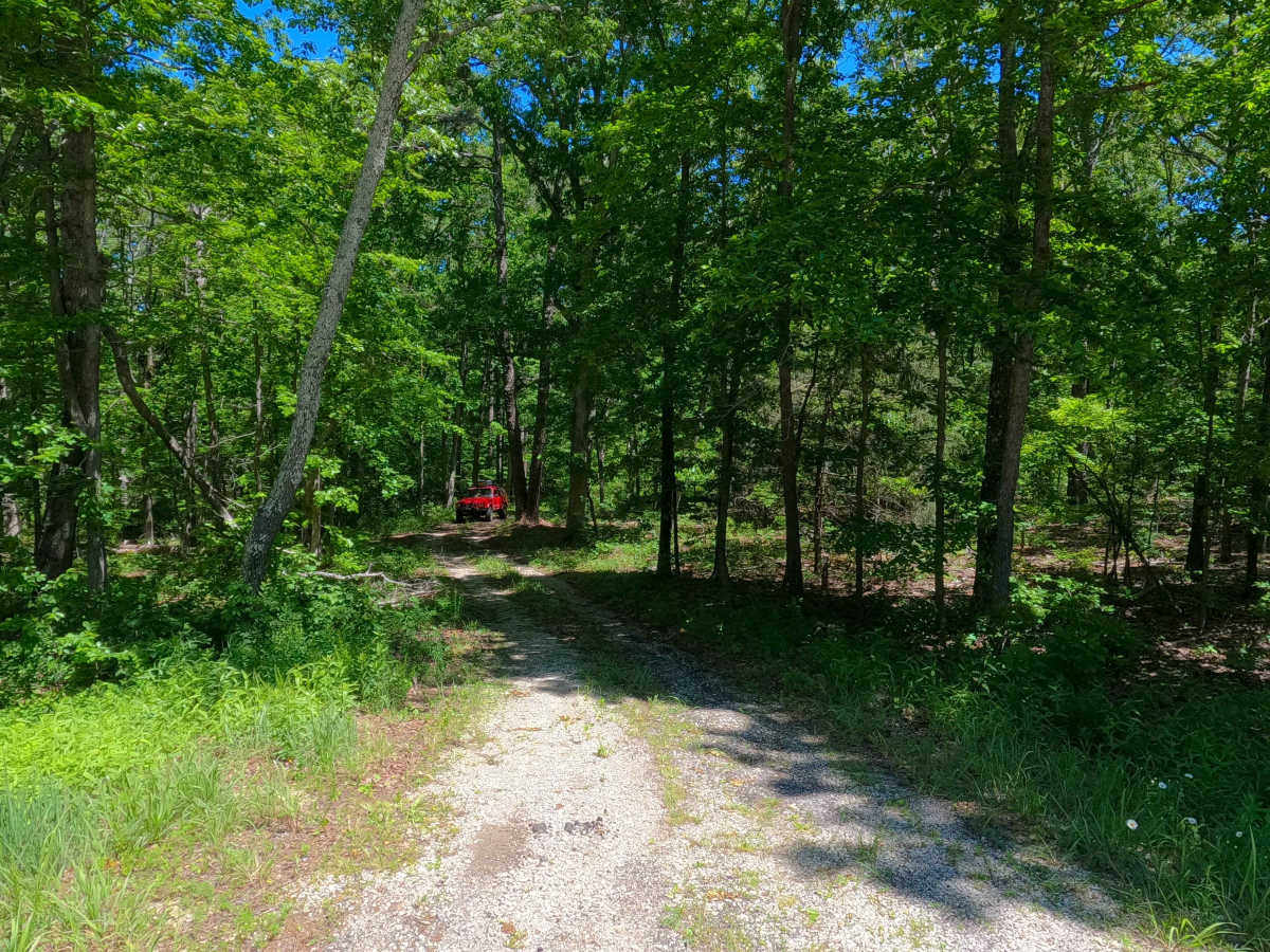
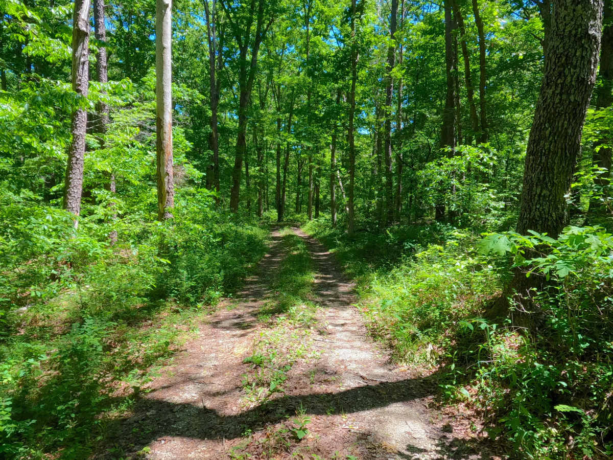
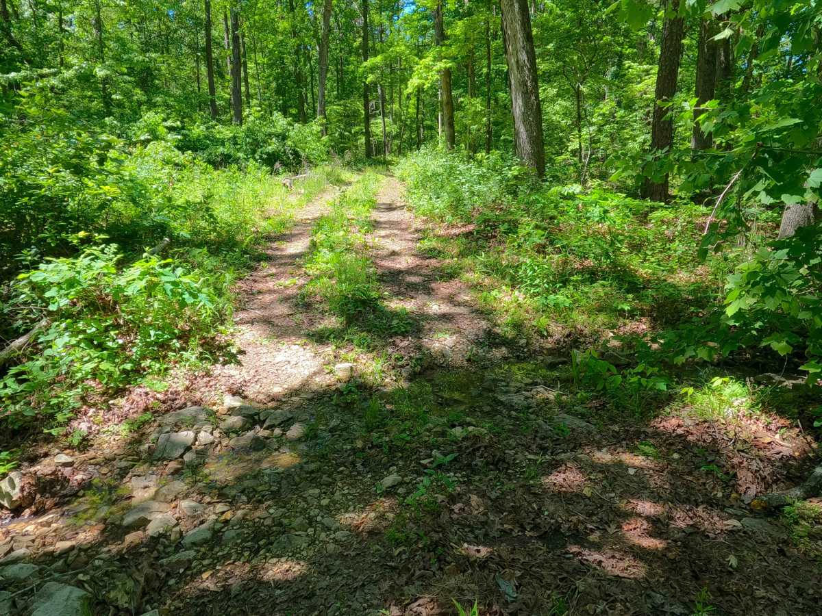
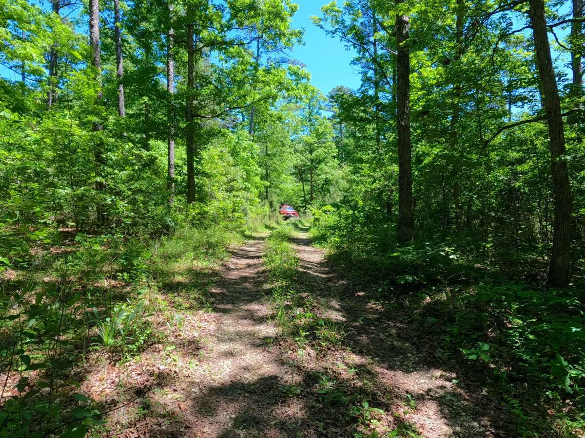
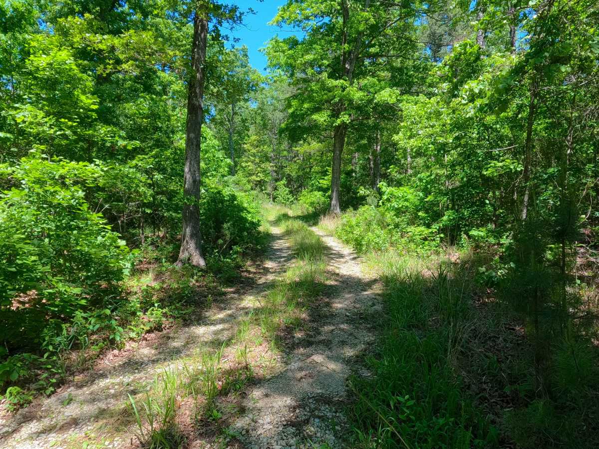
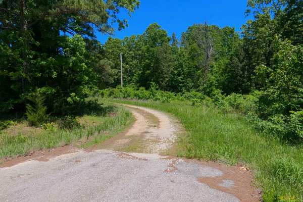
South Cane (FS 3575) is a gravel Forest Service road within the Poplar Bluff Unit of Mark Twain National Forest. Starting from the westbound lanes of US-60, the road heads north, descending downhill into the dense forest foliage. The path is made up of coarse rock, crossing a small brook featuring a cobble bottom in the one small valley along the track, climbing back uphill to a flat ridge portion of the track that leads to a small opening with a picnic table. At this opening, the MVUM suggests it continues turning back southwest towards US-60, but this former path is now overgrown and has a berm of dirt blocking where it tracked away from this opening, suggesting this is the modern-day end of the road; users must turn around and head back out the way they entered.
Difficulty
South Case is given a 2/10 base rating for having a splash-depth brook crossing with a bed of loose 6-10 inch cobbles, and mild active erosion featured on the mildly graded hills, as well as natural rock and tree roots poking out at the surface, over a consistent coarse natural gravel, and potential surface mud when wet along the sections of gravel that fade to dirt. It is also safe to expect all the gravel road complications, such as potholes, washboarding, and mounding of the gravel. Difficulty can increase in times of wet conditions, rainy seasons, and through a lack of maintenance or heavy use.

 Offroad