West Cane - FS 3759

Total Miles2.2
Technical Rating
2Easy
Best TimeSpring, Summer, Fall, Winter
Trail TypeFull-Width Road
Accessible By
Open Trail Map

Trail Overview

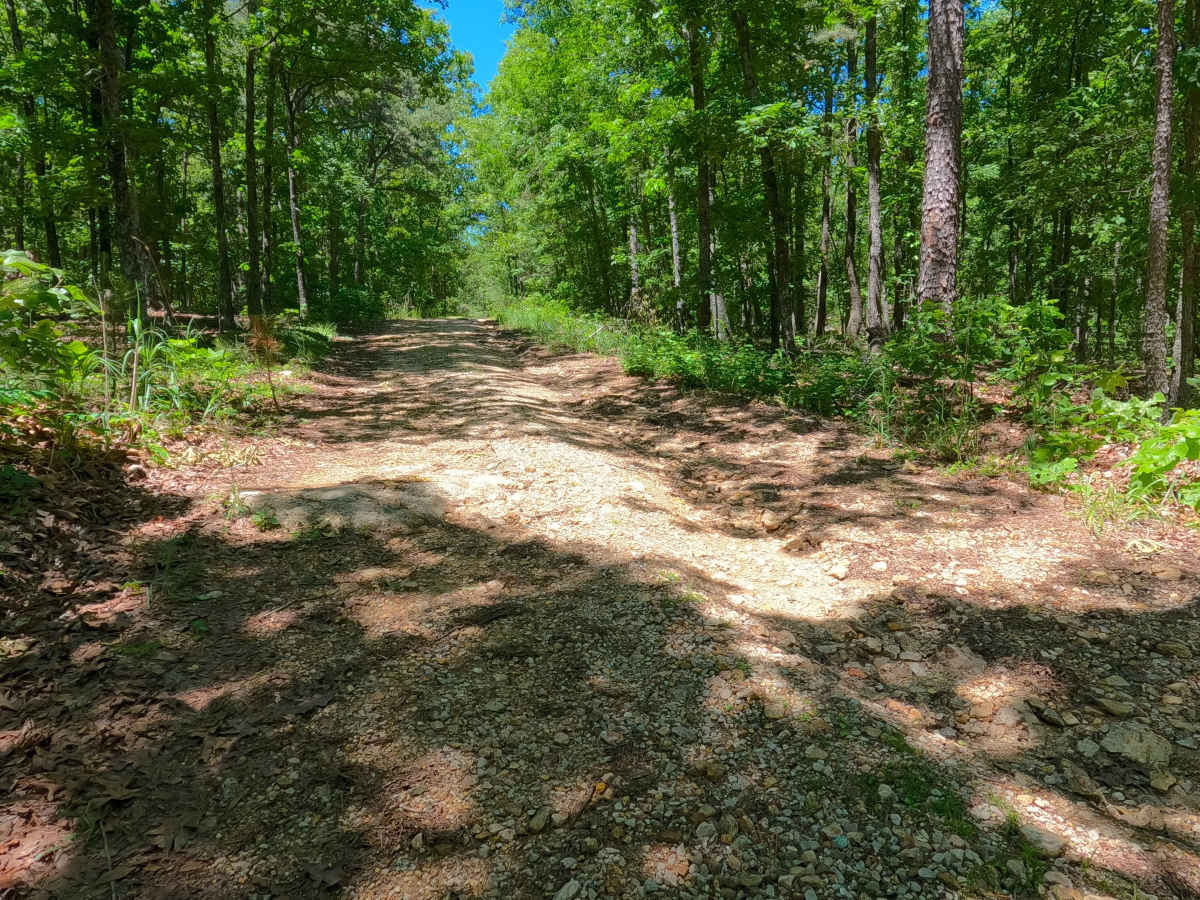
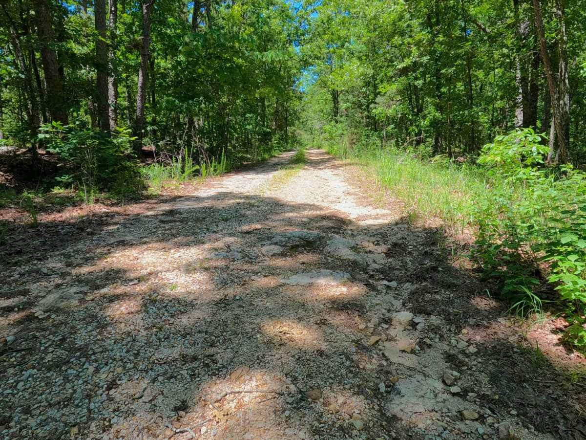
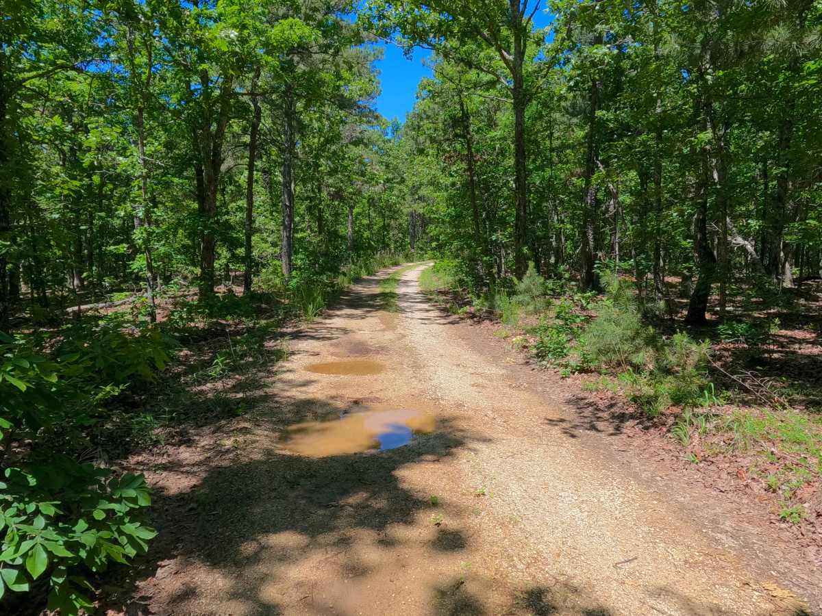
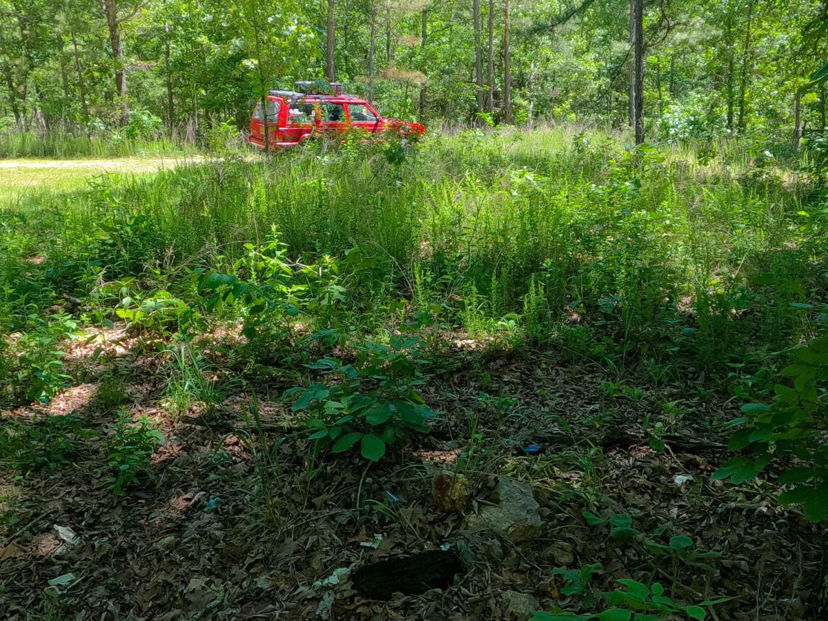
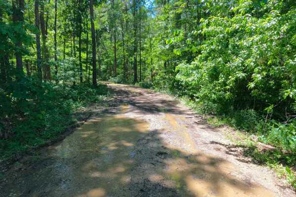
West Cane (FS 3759) is a gravel Forest Service road within the Poplar Bluff Unit of Mark Twain National Forest. Starting from Carter County Road 256, heads north, going uphill from the entry, crossing mild erosion rutting of the gravel with natural rocks poking out of the surface, to climb to the ridge top, where the gravel smooths out, meeting a small peak at the midway point, to drop off on the far north side, tracking down a mild graded hill into the bottoms just south of the Cane Creek, where it meets an opening, marking the end of the MVUM Sanctioned road, where users must turn around and head back out the way they entered.

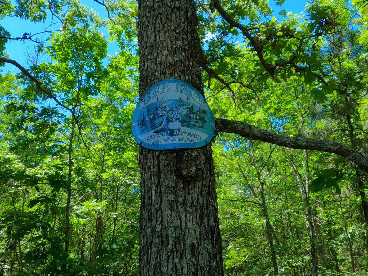
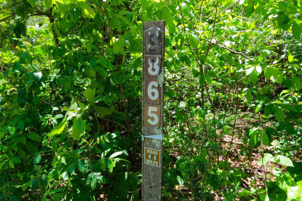
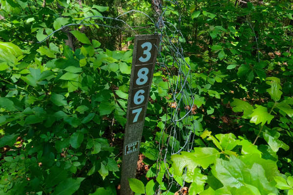
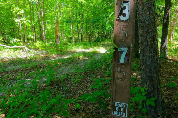
Photos of West Cane - FS 3759

Difficulty

West Cane is given a 2/10 base rating for having a mildly eroded hill with natural rocks poking out at the surface, creating small terrain features to traverse; the rest of the track features coarse gravel and more mild-graded hills. It is also safe to expect all the gravel road complications, such as potholes, washboarding, and mounding of the gravel. Difficulty can increase in times of wet conditions, rainy seasons, and through a lack of maintenance or heavy use.

Technical Rating

2

West Cane - FS 3759 Trail can be accessed by the following ride types:

  • Single Track
  • 50 Inch
  • 60 Inch
  • High Clearance
  • Full Width

West Cane - FS 3759 Map

The onX Offroad Difference

onX Offroad combines trail photos, descriptions, difficulty ratings, width restrictions, seasonality, and more in a user-friendly interface. Available on all devices, with offline access and full compatibility with CarPlay and Android Auto. Discover what you're missing today!

Open Trail Map