Trail Overview
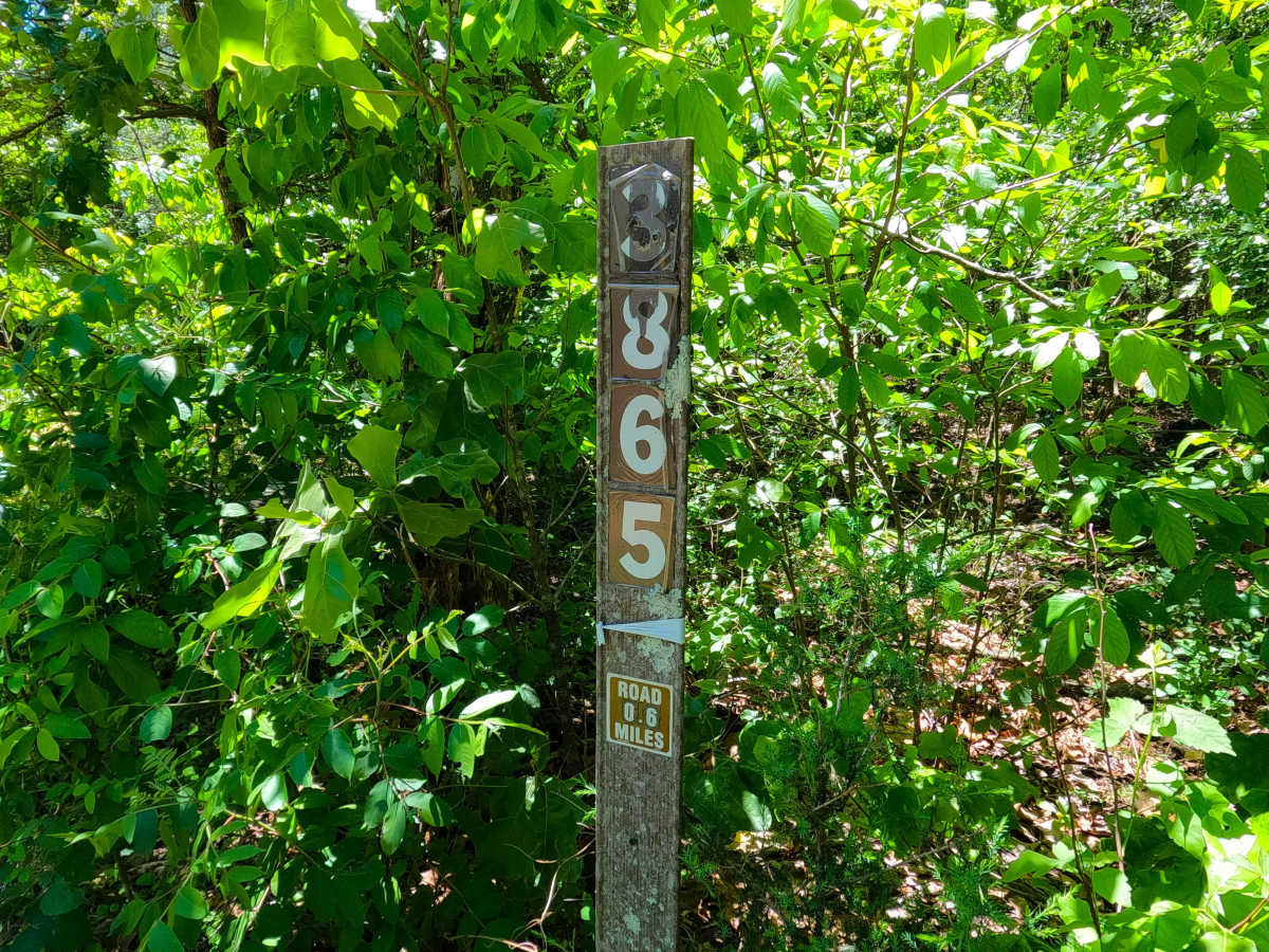
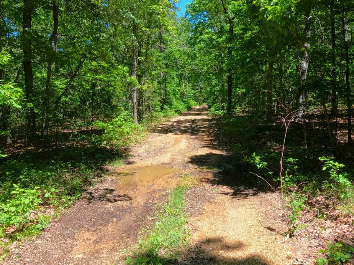
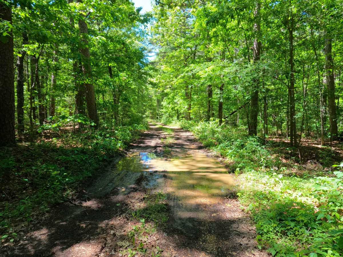
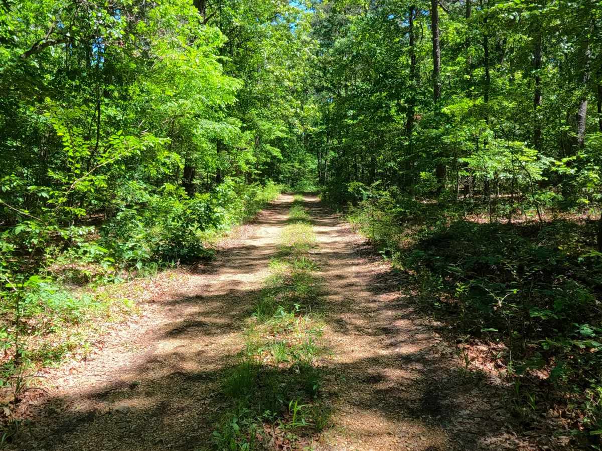
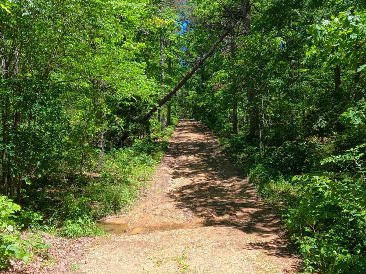
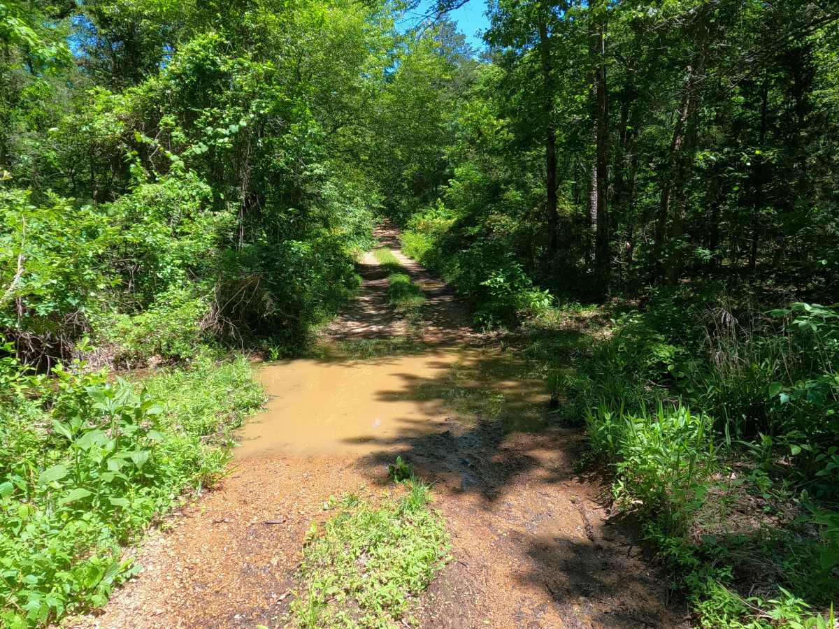
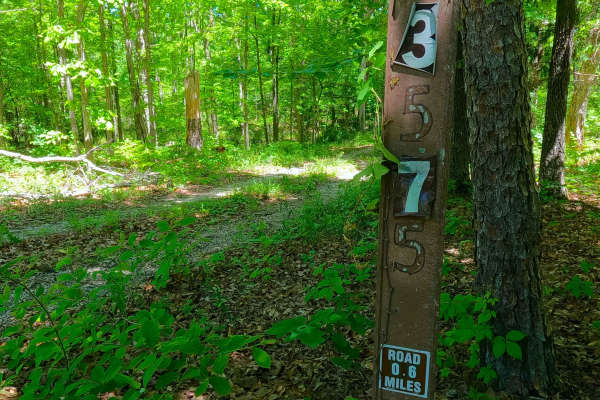
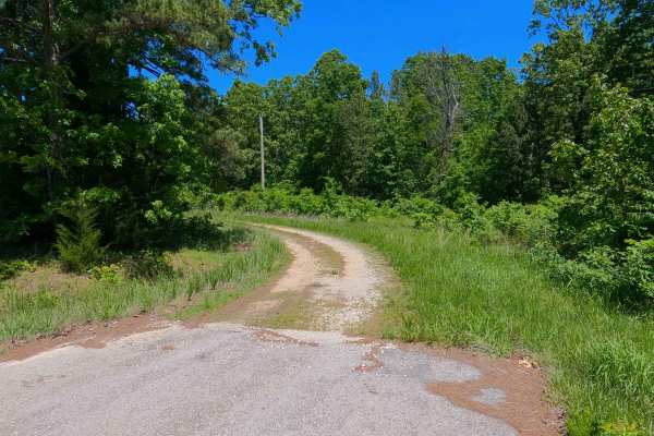
Spot (FS 3865) is a gravel and dirt Forest Service road within the Poplar Bluff Unit of Mark Twain National Forest. Starting from Carter County Road 256, heads south, going slightly downhill from the entry, with the terrain being based on a beaten mostly dirt road, with features of rutting, active erosion, water collection spots, leading to the bottoms where the road crosses a feeder branch creek of the Tenmile Creek to the East-Southeast, these have splash level water depth, after which the trail meets a fork, the one on the right shortly goes to a private property gate, with the left fork going to an opening where the MVUM sanctioned road ends, users can continue on foot to access more of the feeder branch creek past the opening, or must turnaround and head back out the way they entered.
Difficulty
Spot is given a base rating of 2/10 for having splash-level water collection holes, with mild rutting and active erosion on the mildly graded hills along the track. When in wet conditions, there is a high potential for surface mud throughout the track, mixed with natural coarse gravel and small loose cobbles. It is also safe to expect all the gravel road complications, such as potholes, washboarding, and mounding of the gravel. Difficulty can increase in times of wet conditions, rainy seasons, and through a lack of maintenance or heavy use.

 Offroad