Trail Overview
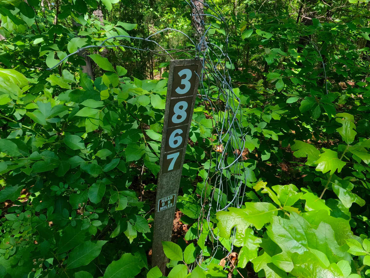
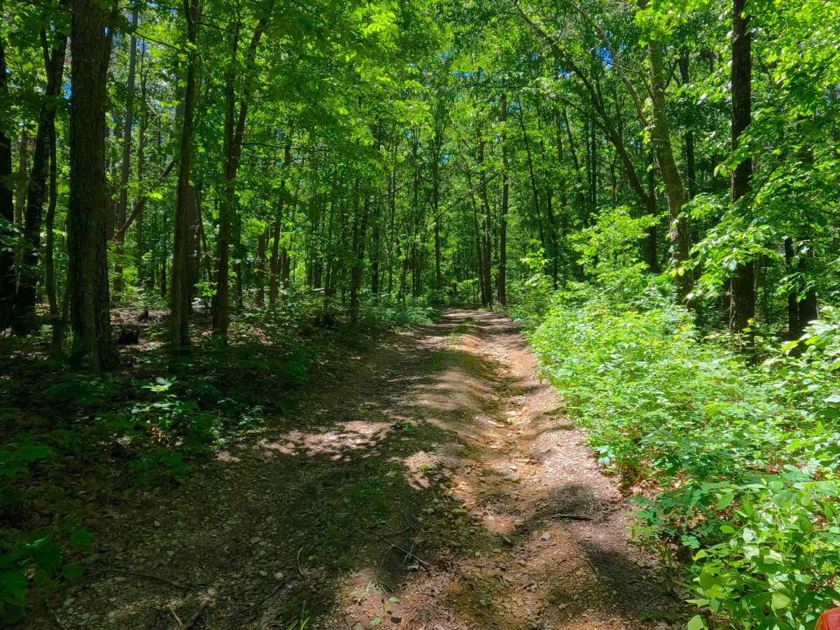
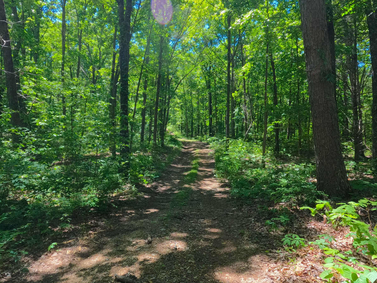
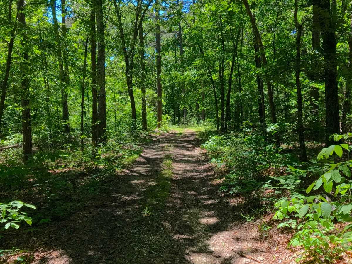
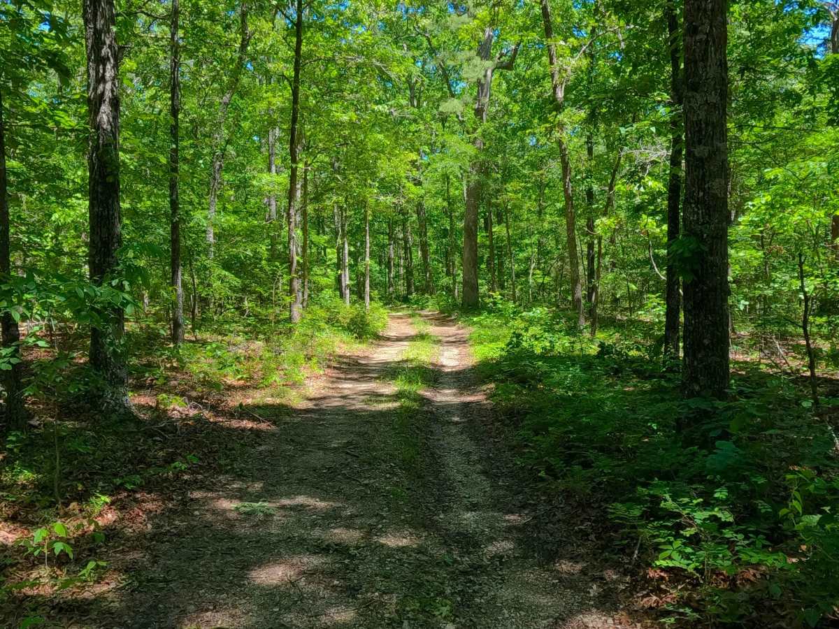
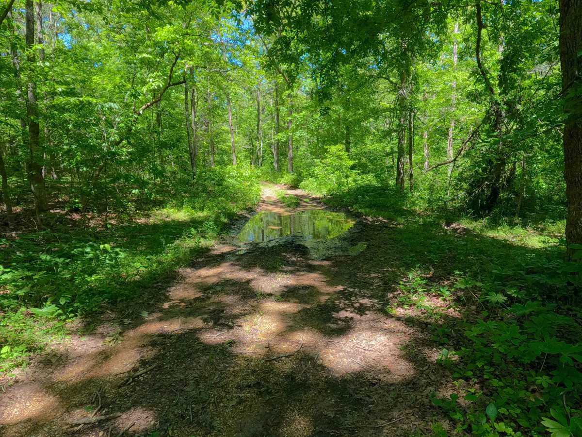
Ants (FS 3867) is a natural gravel and dirt road within the Poplar Bluff Unit of Mark Twain National Forest. Ants pathway leads into a lower swamp-like valley along a water runoff channel, which feeds the wet nature of the terrain that is present on this road. This includes terrain such as surface mud, water collection holes, ruts, and small active erosion on the mild grades present on the hills on either far end, north and south, amongst thick foliage and plentiful trees. The road's MVUM-sanctioned end is marked by a small opening on its northern end; here, users must turn around and head back the way they entered.
Difficulty
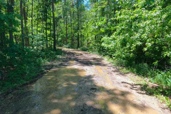
Ants is given a base rating of 2/10 for having splash-level water collection holes, well-shaded sections of surface mud, with mild rutting and active erosion on the mildly graded hills along the far ends of the track. When in wet conditions, there is a high potential for surface mud throughout the track, as well as washes of natural coarse gravel and small loose cobbles. It is also safe to expect all the gravel road complications, such as potholes, washboarding, and mounding of the gravel. Difficulty can increase in times of wet conditions, rainy seasons, and through a lack of maintenance or heavy use.

 Offroad