Trail Overview
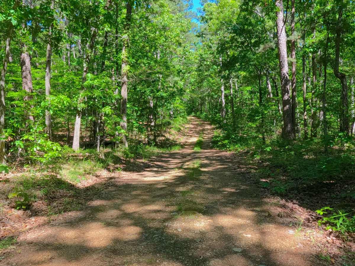
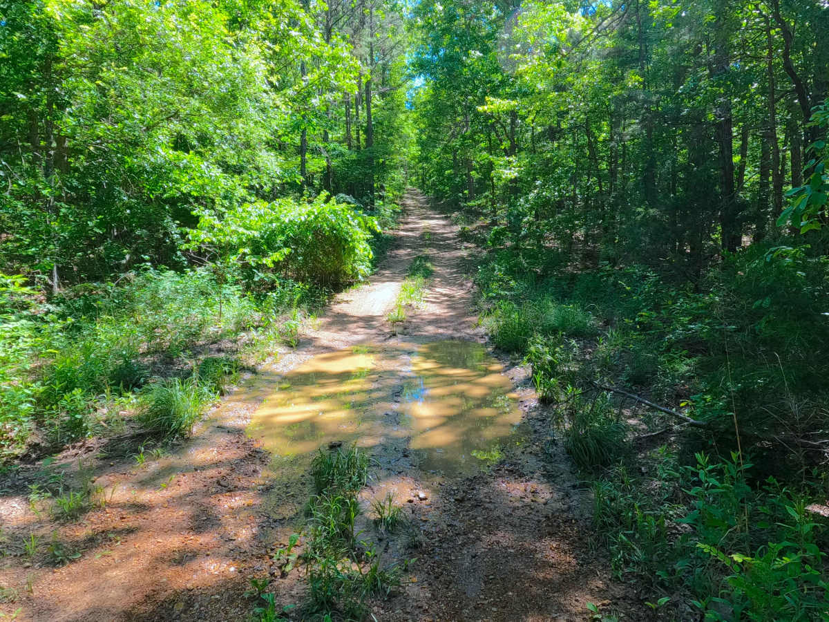
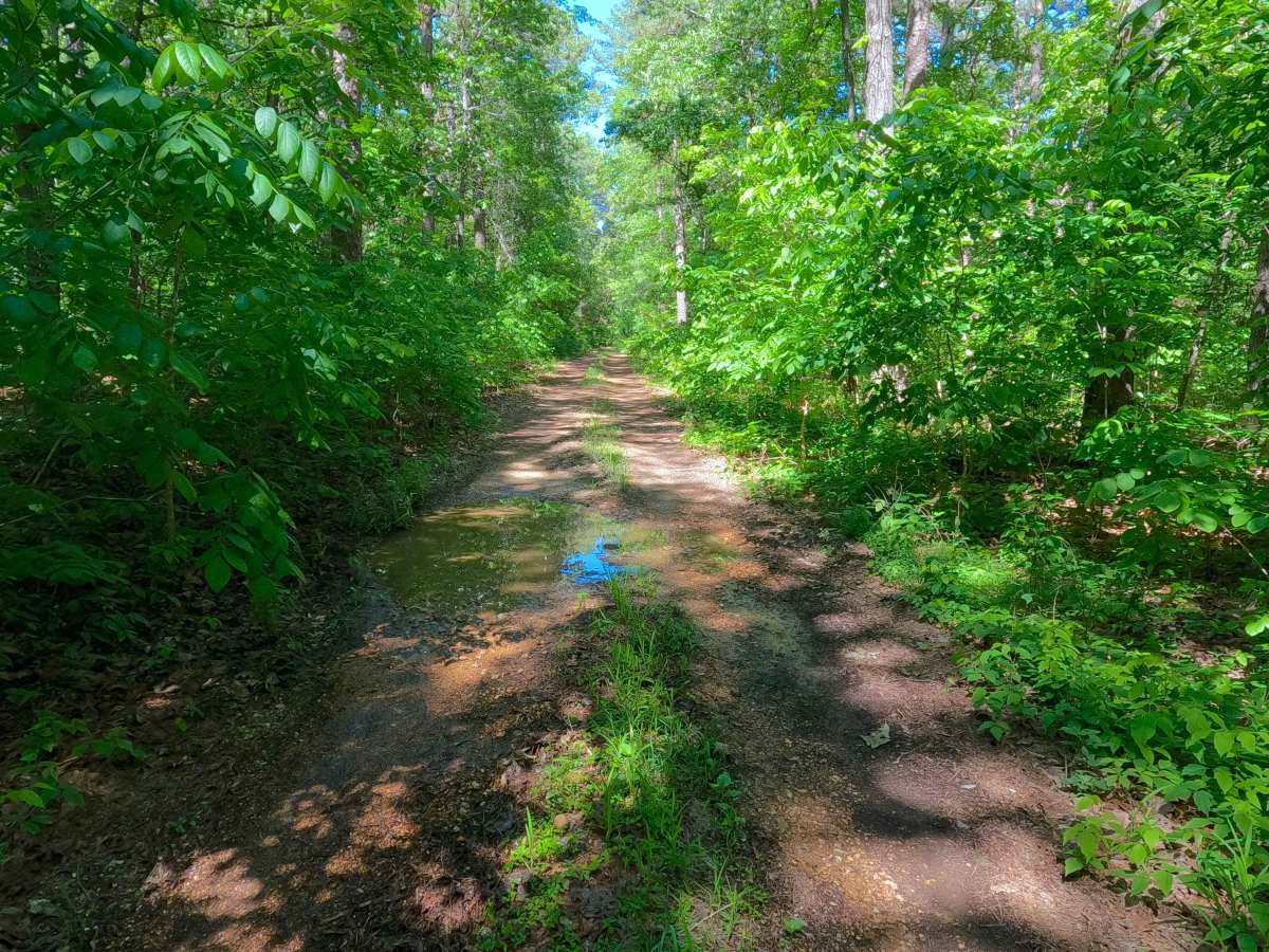
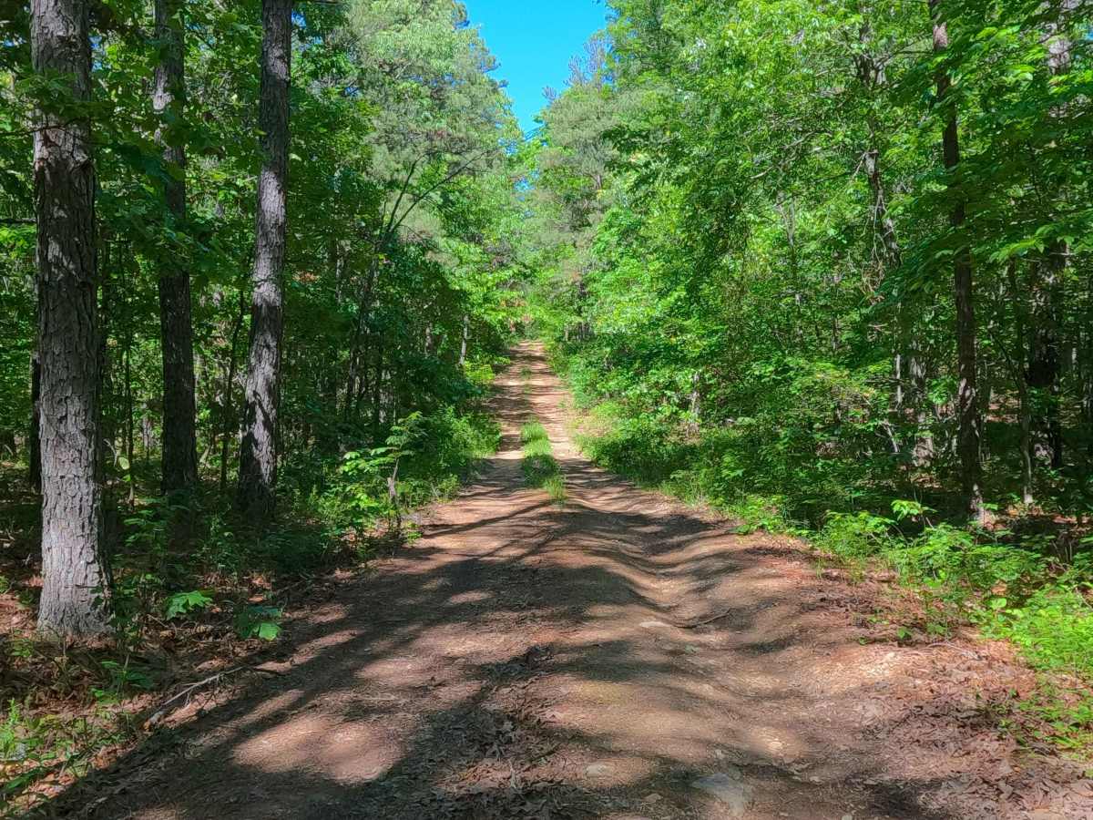
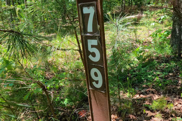
South Boundary (FS 3755) is a gravel and dirt Forest Service road within the Poplar Bluff Unit of Mark Twain National Forest. South Boundary starts heading west off Missouri Route K in Carter County, first riding to the north of a feeder branch of the Tenmile Creek, before turning south to cross the small creek, to immediately climb up the longest hill along the track to the southern ridge top portion of the track, where the road traverses a few elevation changes, with the lower points, water channels downhill going north, causing washes and active erosion crossing the pathway. This ultimately leads to the first safe turnaround, right before a mudhole. If continuing past the mudhole, the road shortly goes past an opening along the road, before meeting a final closed gate, marking the end of the MVUM Sanctioned Road. From here, users must turn around and head back the way they entered.
Difficulty
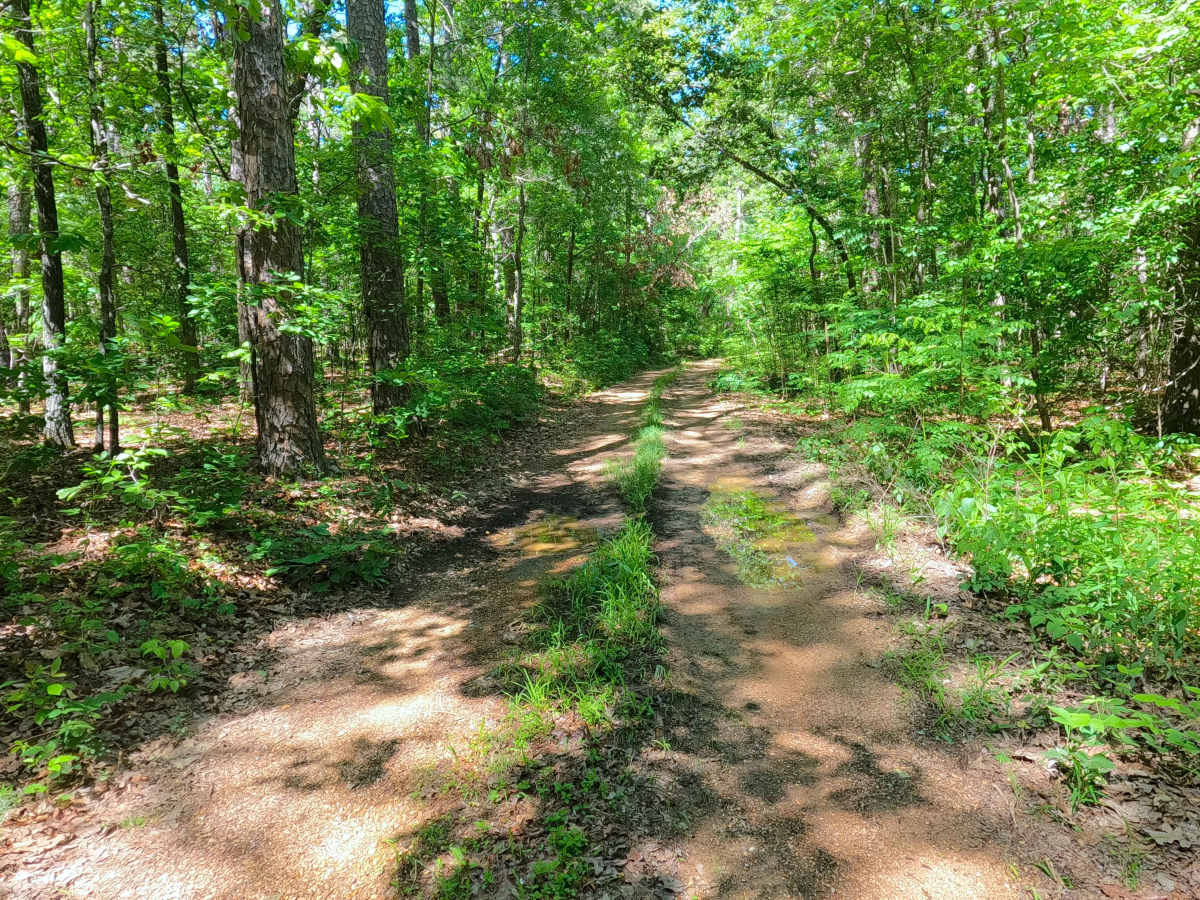
South Boundary is given a base rating of 2/10 for having a splash-level creek crossing, with mild rutting and active erosion on the mildly graded hills along the track, having exposed natural coarse gravel and small loose cobbles. When in wet conditions, there is potential for surface mud along sections of the track. It is also safe to expect all the gravel road complications, such as potholes, washboarding, and mounding of the gravel. Difficulty can increase in times of wet conditions, rainy seasons, and through a lack of maintenance or heavy use.

 Offroad