
Dirt Bike Trails
Near Oxnard, California
Explore All Dirt Bike Trails Near Oxnard, California
Dirt Bike Trails Near Oxnard, California
Discover the best dirt bike trails near you. Browse trail maps, check difficulty ratings, and find your next adventure — whether you're looking for a quick ride or an all-day expedition.
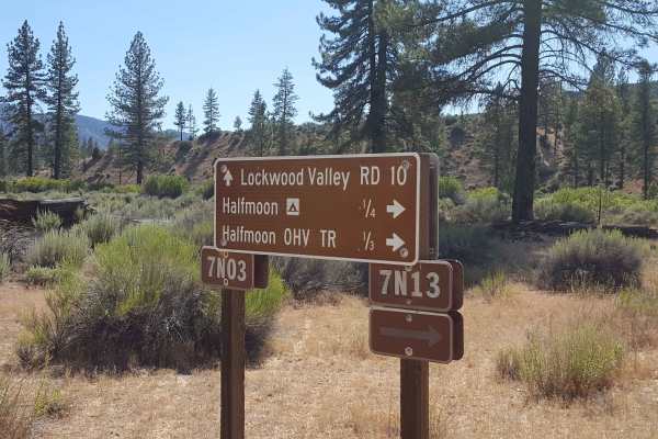
Halfmoon OHV Trail - FS 20W07
Looking to play in the water, this is the trail in the Los Padres National Forest area. For OHVs other than dirt bikes, this is an out-and-back trail that follows the Piru Creek through a steep canyon. For dirt bikes, it is a point-to-point trail that will eventually merge on the east side with the ...
Learn more about Halfmoon OHV Trail - FS 20W07
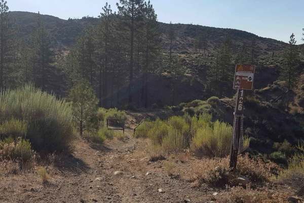
Yellowjacket Singletrack - FS 20W24
This is a fairly short point-to-point singletrack trail restricted to dirt bike use only. It connects the Mutau OHV trail (FS 7N03) via the Paino Box Loop to Yellowjacket OHV (FS 20W24) and other trails south of Frazier Mountain. There is a dirt bike gate on the west end, which prevents any larger-s...
Learn more about Yellowjacket Singletrack - FS 20W24
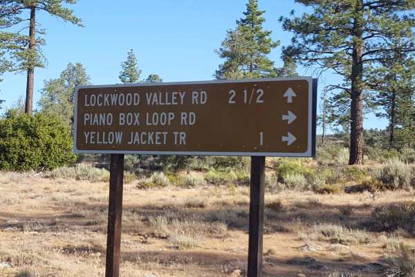
Piano Box Loop - FS 7N03C
This is a relatively short dirt road that loops off Mutau OHV Trail - FS 7N03, the main access road in the area. It passes through wooded areas to an open meadow space near the trailhead for Yellowjacket Singletrack - FS 20W24. Along the route, there are a couple of pullout areas that would be good ...
Learn more about Piano Box Loop - FS 7N03C
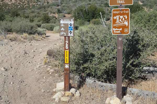
Yellowjacket OHV Trail - FS 20W24
This is both a point-to-point trail (for dirt bikes only) and an out-and-back trail (for all other OHV and 4x4 vehicles) that runs along the San Guillermo Creek bed. The west end begins at the east end of the Yellowjacket Singletrack trail, allowing dirt bikes to travel from Grade Valley/Mutau Flats...
Learn more about Yellowjacket OHV Trail - FS 20W24
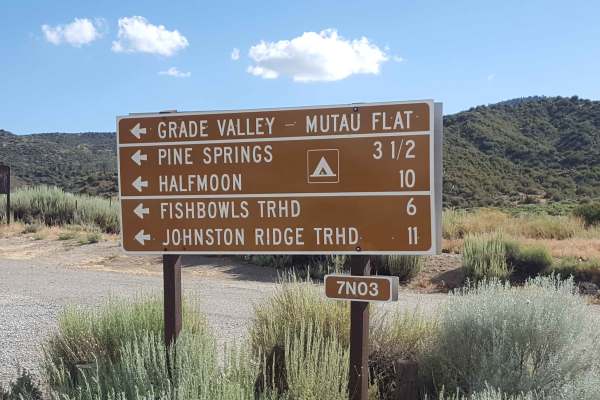
Mutau OHV - FS 7N03
This is the main access road into the Los Padres National Forest on the southwest side of the Frazier Mountain area. It leads to several other OHV trails and hiking trailheads, but eventually dead ends at a locked gate. From the north end, it begins as a winding paved road for the first 1.5 miles be...
Learn more about Mutau OHV - FS 7N03
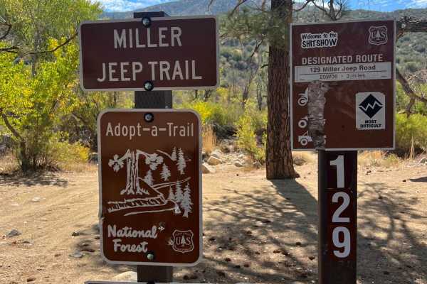
Miller Jeep Trail - 20W06
Miller Jeep Trail is an iconic trail for folks in the southern California off-road community. Miller Jeep Trail is located off Interstate 5 about an hour's drive north of Los Angeles in the Los Padres National Forest. It is quite short--only three miles--but to get there you first have to take the m...
Learn more about Miller Jeep Trail - 20W06
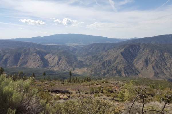
Alamo Mountain OHV - FS 8N01.3
This is a loop route that circles the peak of Alamo Mountain, providing amazing scenic views of the surrounding Sespe Wilderness. It is open to both street-legal vehicles and OHVs with a valid green sticker. The trail is single-vehicle wide and consists primarily of packed dirt with shallow erosion ...
Learn more about Alamo Mountain OHV - FS 8N01.3
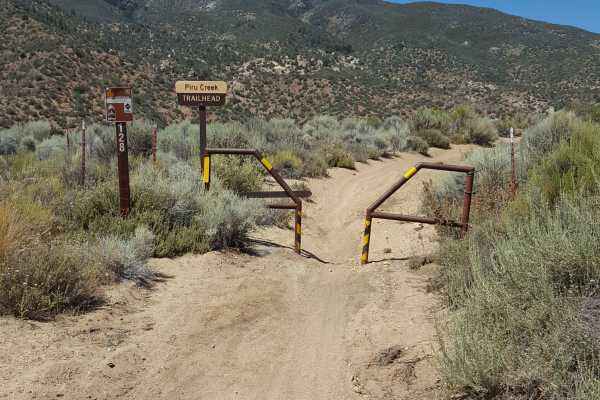
Piru Creek - FS 20W07
If looking for a challenging enduro ride, this is one of the best in the Los Padres National Forest area. It is a point-to-point singletrack restricted to dirt bikes only and follows the Piru Creek as it winds through a steep canyon between adjacent hillsides. The Forest Service rates this trail as ...
Learn more about Piru Creek - FS 20W07
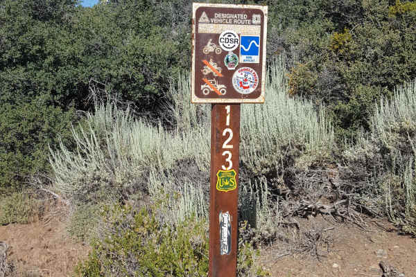
Long Dave - FS 19W17
This is a point-to-point dirt bike only trail that travels east/west through Long Dave Valley in the heart of the Los Padres National Forest. The east half of the trail is primarily single track with lots of whoops, some fast and flowy stretches, occassional tight vegetation, and multiple short, roc...
Learn more about Long Dave - FS 19W17
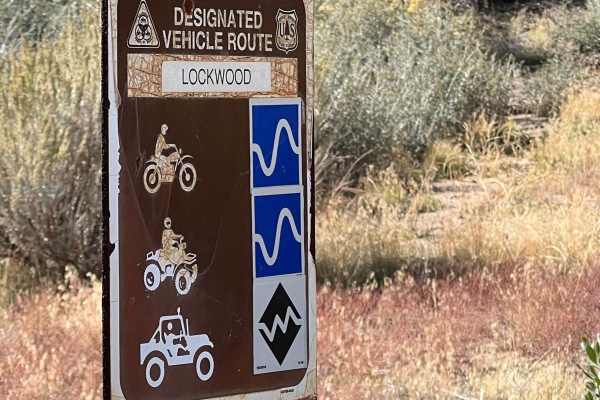
Lockwood Creek Trail - 20W06
This is the new Lockwood Creek Trail. The reason it's called "new" is that this trail used to follow Lockwood Creek, and the Forest Service has closed that part of the trail and combined it with what used to be the first part of Miller Jeep Trail. Why the Forest Service did things this way is unknow...
Learn more about Lockwood Creek Trail - 20W06
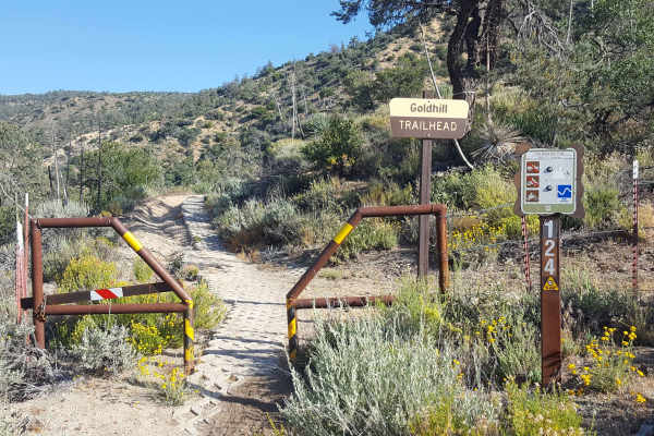
Gold Hill OHV - 19W17
This is a point-to-point single-track trail with OHV use limited to dirt bikes only. There is a narrow gate restricting the entry of larger vehicles at the east trailhead end. Note that the east trailhead begins off Gold Hill Road, which is a public road with use restricted to street-legal vehicles....
Learn more about Gold Hill OHV - 19W17
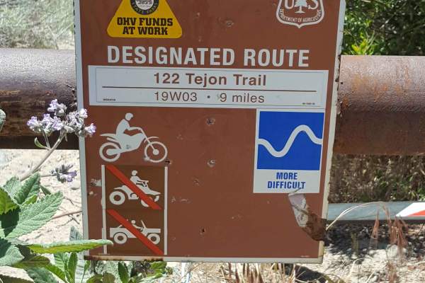
Tejon Trail - 19W03
This is a point-to-point single-track trail with OHV use limited to dirt bikes only. There are narrow gates restricting the entry of larger vehicles at both ends. The trail surface is primarily dirt, but there are some short stretches of loose rock. There are also sections with ruts up to 2-3 feet d...
Learn more about Tejon Trail - 19W03
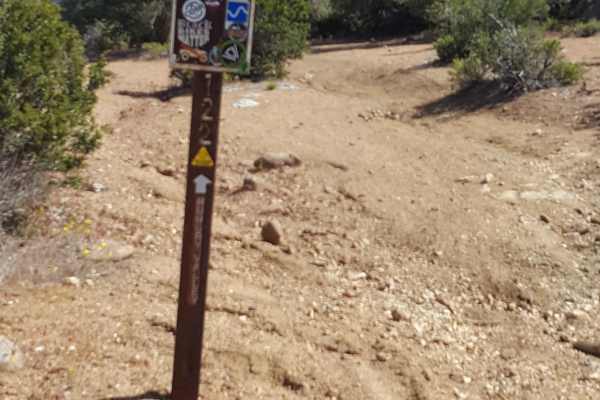
North Long Dave - FS 19W03
This is a point-to-point single-track trail with OHV use limited to dirt bikes only. It serves as a connector trail between areas that have other trail options. The trail surface is primarily dirt with some short stretches of rocky ledges or embedded larger rocks. There are also sections with ruts u...
Learn more about North Long Dave - FS 19W03
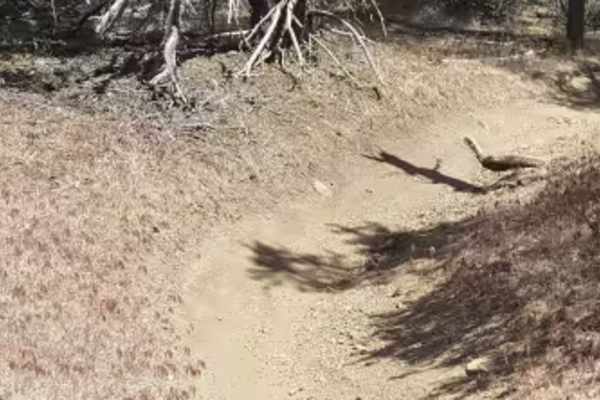
Whata OHV - FS 20W25
This is a point-to-point single-track trail with OHV use limited to dirt bikes only. It serves as a connector trail between areas that have other trail options. There is a narrow gate restricting the entry of larger vehicles at the north trailhead end. The trail surface is primarily dirt with some s...
Learn more about Whata OHV - FS 20W25
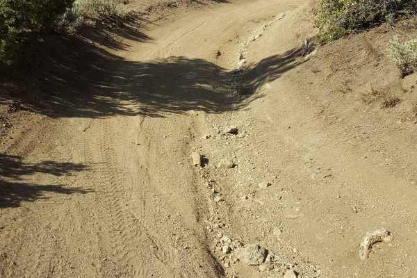
West Frazier Trail - FS 20W03
This is a point-to-point OHV trail connecting the Frazier Mountain Trailhead parking area to other trails on the side of Frazier Mountain. If looking to use off-road vehicles in the Frazier Mountain area and park a transport vehicle or RV in the staging area, this is the only trail that allows initi...
Learn more about West Frazier Trail - FS 20W03
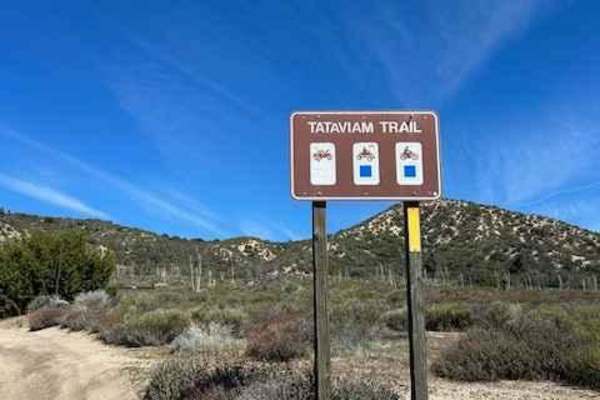
Tataviam Trail
It is a flowing trail accessible only to dirt bikes and quads. This one-way-only trail gives you a nice piece of mind that no one will be coming the other way around a corner. The first section is the most technical, with a short, steep uphill followed by a steep hillside traverse after. AAfterwarda...
Learn more about Tataviam Trail
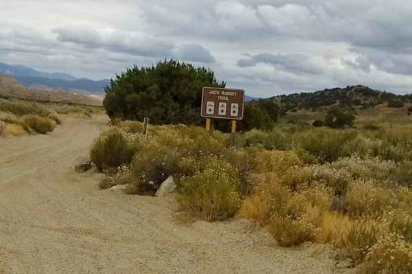
Jack Rabbit Trail
The Jack Rabbit Trail is located within the Hungry Valley SVRA and can be accessed just off the street legal only, Gold Hill Road. You can stage at the Smith Forks Campground. The trail starts just West of the intersection of the Roadrunner Trail and the Gold Hill Road at GPS Coordinates N34.73197...
Learn more about Jack Rabbit Trail
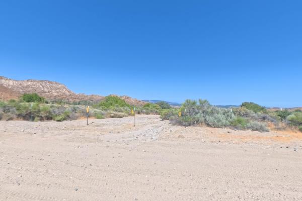
Pipeline Road Southwest
Pipeline Road Southwest is a 1.8-mile Green Circle connector in the Hungry Valley SVRA. It starts at the fence on Gold Hill Road and runs northwest, connecting directly to Roadrunner Trail. The route is mostly sand with some rocky sections, though the rocks are small. Vegetation is heavy and overgro...
Learn more about Pipeline Road Southwest
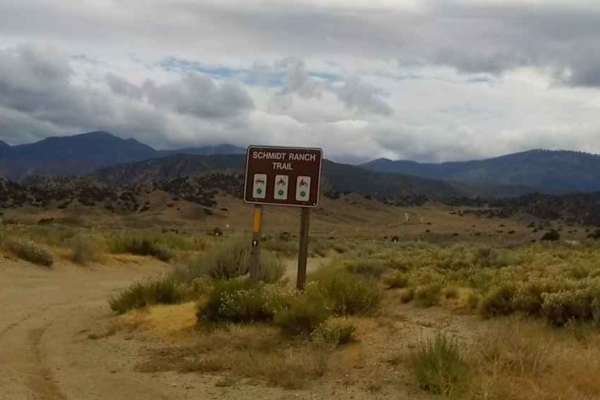
Schmidt Ranch Trail
The Schmidt Ranch Trail starts at the intersection with the Street Legal Gold Hill Road at GPS coordinates N34.72738° W118.89004° and is 1.4 miles long. This is a double-wide hard-pack trail with some sections of small whoops. The trail crosses the Cougar Trail at .07 miles. At 1.1 miles, the Maxey ...
Learn more about Schmidt Ranch Trail
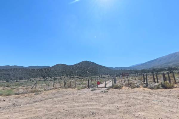
Maxey Ranch Road Spur
Maxey Ranch Road Spur is a short, easy 0.7-mile Green Circle connector in the Hungry Valley SVRA. It runs from paved Gold Hill Road over to Maxey Ranch Road across flat, lightly rolling desert with smooth sand and dirt the whole way. There are no rocks or obstacles, so a stock 4x4 or even a two-whee...
Learn more about Maxey Ranch Road Spur
ATV trails near Oxnard, California
Explore ATV-friendly trails near you. These trails are accessible for vehicles up to 50 inches wide, perfect for ATVs and smaller off-road machines.
Halfmoon OHV Trail - FS 20W07
Looking to play in the water, this is the trail in the Los Padres National Forest area. For OHVs other than dirt bikes, this is an out-and-back trail that follows the Piru Creek through a steep canyon. For dirt bikes, it is a point-to-point trail that will eventually merge on the east side with the ...
Learn more about Halfmoon OHV Trail - FS 20W07
Piano Box Loop - FS 7N03C
This is a relatively short dirt road that loops off Mutau OHV Trail - FS 7N03, the main access road in the area. It passes through wooded areas to an open meadow space near the trailhead for Yellowjacket Singletrack - FS 20W24. Along the route, there are a couple of pullout areas that would be good ...
Learn more about Piano Box Loop - FS 7N03C
Yellowjacket OHV Trail - FS 20W24
This is both a point-to-point trail (for dirt bikes only) and an out-and-back trail (for all other OHV and 4x4 vehicles) that runs along the San Guillermo Creek bed. The west end begins at the east end of the Yellowjacket Singletrack trail, allowing dirt bikes to travel from Grade Valley/Mutau Flats...
Learn more about Yellowjacket OHV Trail - FS 20W24
Mutau OHV - FS 7N03
This is the main access road into the Los Padres National Forest on the southwest side of the Frazier Mountain area. It leads to several other OHV trails and hiking trailheads, but eventually dead ends at a locked gate. From the north end, it begins as a winding paved road for the first 1.5 miles be...
Learn more about Mutau OHV - FS 7N03
UTV/side-by-side trails near Oxnard, California
Find UTV and side-by-side trails near you. These trails accommodate vehicles up to 60 inches wide, ideal for UTVs, side-by-sides, and wider off-road rigs.
Halfmoon OHV Trail - FS 20W07
Looking to play in the water, this is the trail in the Los Padres National Forest area. For OHVs other than dirt bikes, this is an out-and-back trail that follows the Piru Creek through a steep canyon. For dirt bikes, it is a point-to-point trail that will eventually merge on the east side with the ...
Learn more about Halfmoon OHV Trail - FS 20W07
Piano Box Loop - FS 7N03C
This is a relatively short dirt road that loops off Mutau OHV Trail - FS 7N03, the main access road in the area. It passes through wooded areas to an open meadow space near the trailhead for Yellowjacket Singletrack - FS 20W24. Along the route, there are a couple of pullout areas that would be good ...
Learn more about Piano Box Loop - FS 7N03C
Yellowjacket OHV Trail - FS 20W24
This is both a point-to-point trail (for dirt bikes only) and an out-and-back trail (for all other OHV and 4x4 vehicles) that runs along the San Guillermo Creek bed. The west end begins at the east end of the Yellowjacket Singletrack trail, allowing dirt bikes to travel from Grade Valley/Mutau Flats...
Learn more about Yellowjacket OHV Trail - FS 20W24
Mutau OHV - FS 7N03
This is the main access road into the Los Padres National Forest on the southwest side of the Frazier Mountain area. It leads to several other OHV trails and hiking trailheads, but eventually dead ends at a locked gate. From the north end, it begins as a winding paved road for the first 1.5 miles be...
Learn more about Mutau OHV - FS 7N03
The onX Offroad Difference
onX Offroad combines trail photos, descriptions, difficulty ratings, width restrictions, seasonality, and more in a user-friendly interface. Available on all devices, with offline access and full compatibility with CarPlay and Android Auto. Discover what you're missing today!
Open Trail Map