Trail Overview
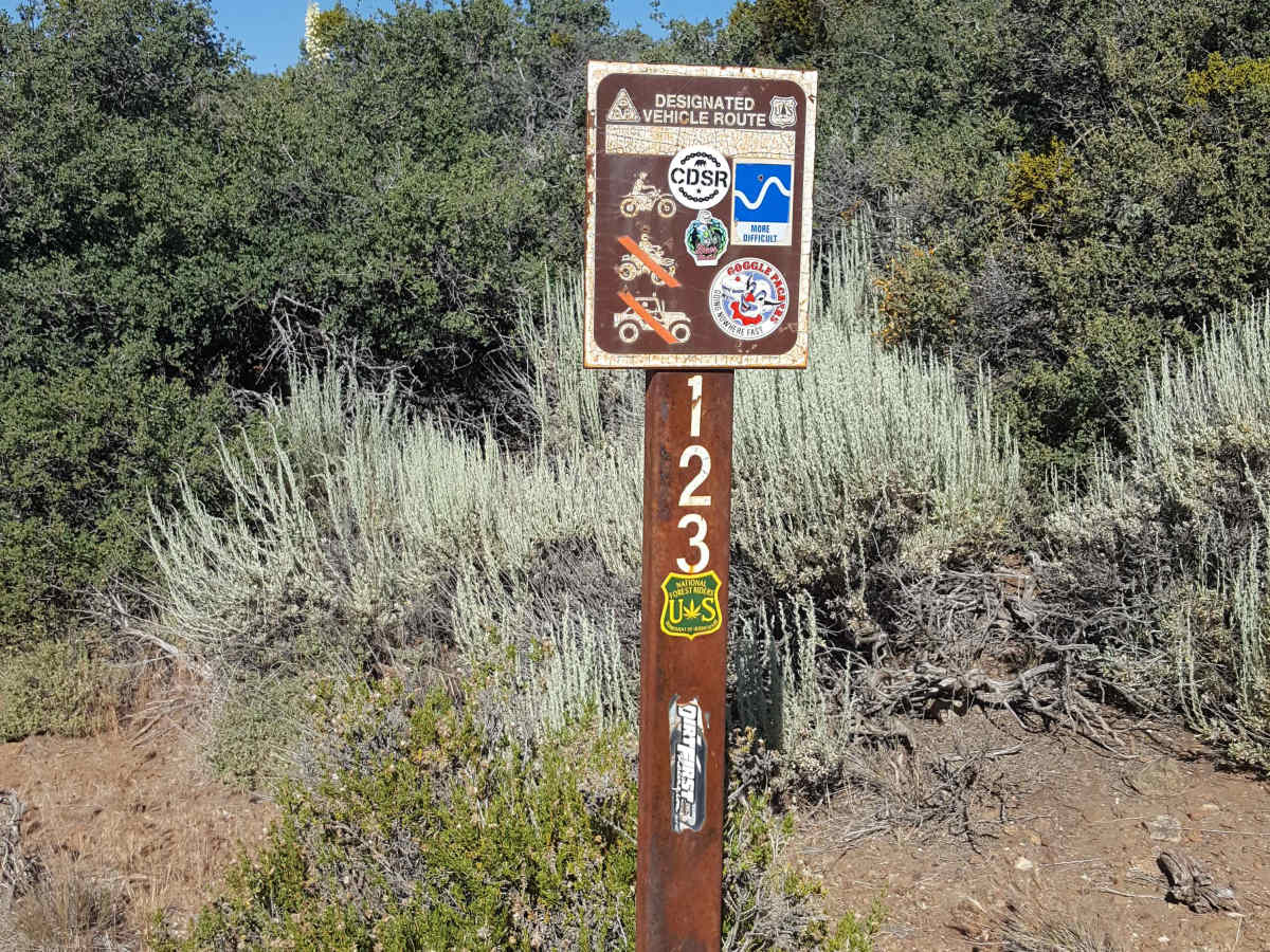
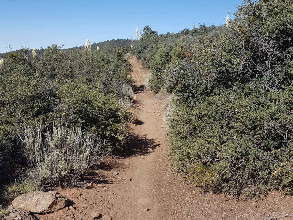
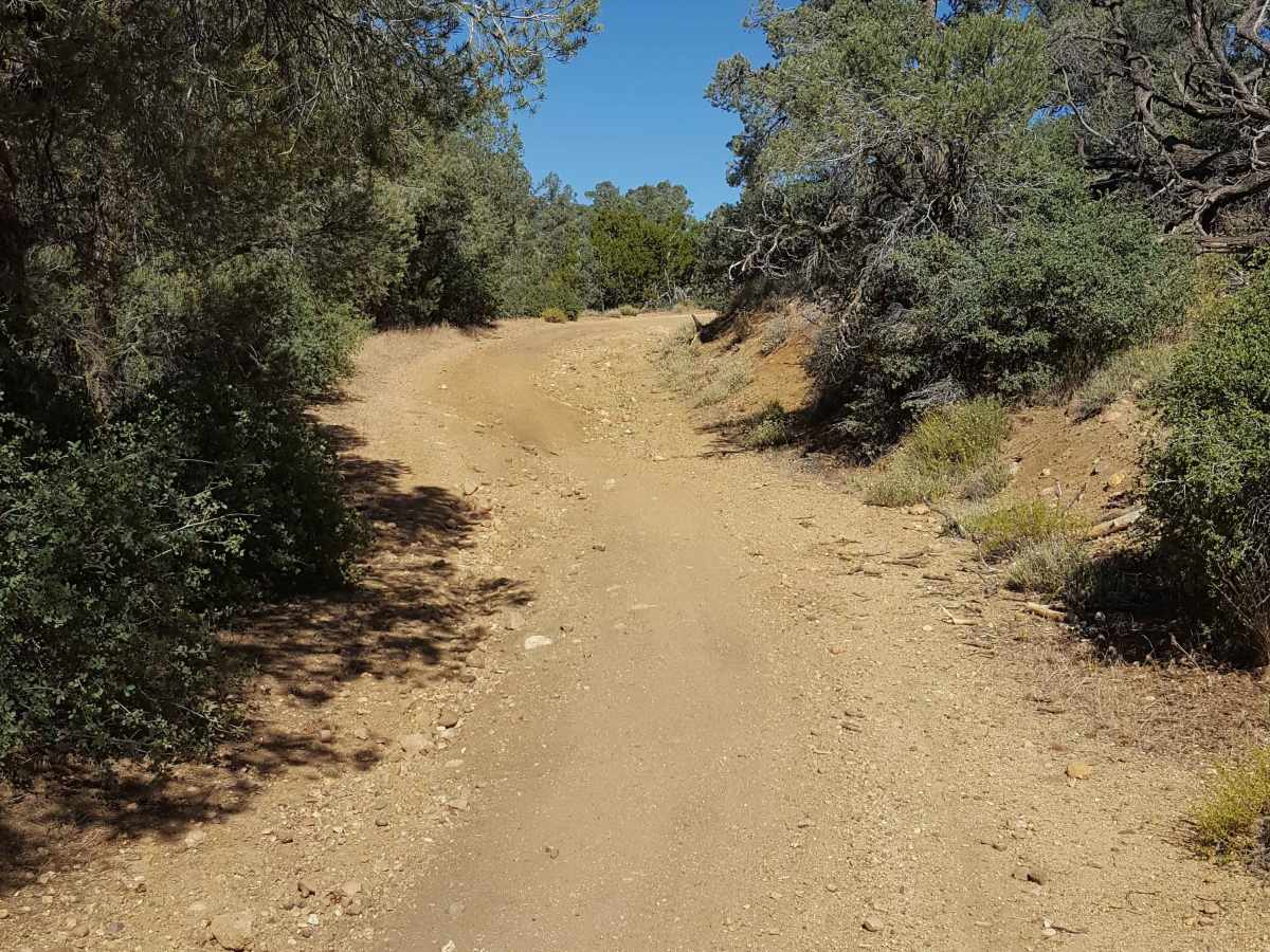
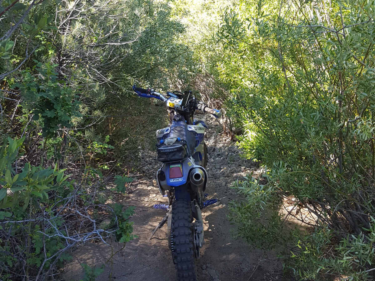
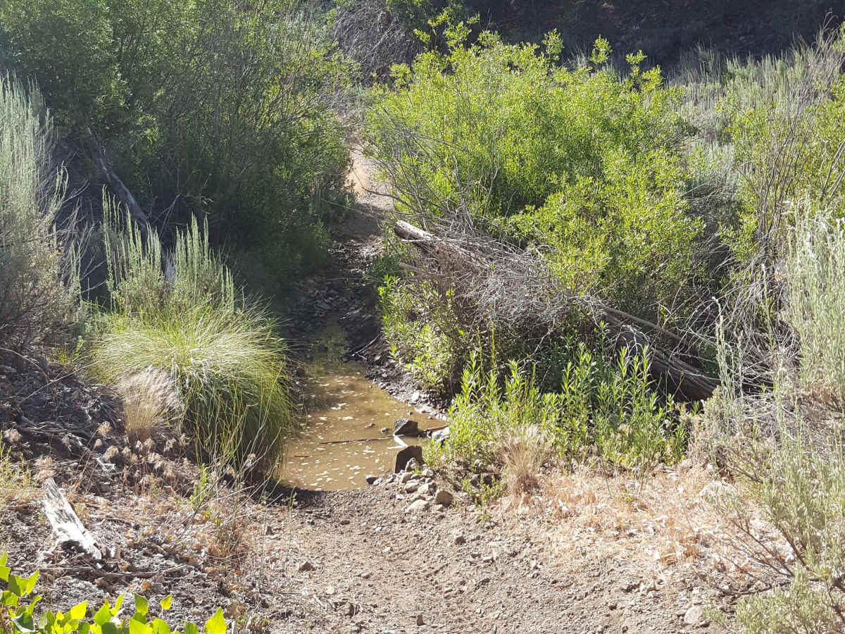
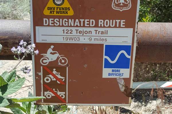
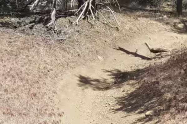
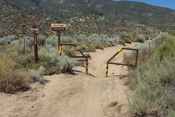
This is a point-to-point dirt bike only trail that travels east/west through Long Dave Valley in the heart of the Los Padres National Forest. The east half of the trail is primarily single track with lots of whoops, some fast and flowy stretches, occassional tight vegetation, and multiple short, rocky, rutted hill climbs/descents. There is also a short, shallow creek crossing in this section. The west half of the trail utilizes large sections of an old mining road, providing a wider track to ride. This section has frequent embedded and loose rocks on the trail as well as shallow ruts, but is definitely easier than the east side. Besides providing several types of fun terrain, this trail will reward riders with great scenic views along the route. There are plenty of shady spots to take a break from the sun and areas to pull completely off the trail to let other riders pass. Dispersed camping allowed on both sides of trail, which is open annually from 5/1 to 11/1. Green stickers are required for off-road dirt bikes. Tread Lightly and Pack-It-Out.
Difficulty
Trail surface primarily consists of packed dirt. There are short steep grades with ruts up to 1-2 feet deep and larger rocks. Flat sections will often have a series of closely spaced whoops up to 1 foot high. Vegetation (mostly scrub brush) can occasionally be tight on both sides of the trail. There is also a creek crossing that will generally be short and shallow unless rainfall has recently occurred in the area.
History
Lots of mining activity occurred in the past along this trail, which is evident from remants of abandoned sheds and equipment near the sides of the route in several spots.