
Dirt Bike Trails
Near Mount Crested Butte, Colorado
Explore All Dirt Bike Trails Near Mount Crested Butte, Colorado
Dirt Bike Trails Near Mount Crested Butte, Colorado
Discover the best dirt bike trails near you. Browse trail maps, check difficulty ratings, and find your next adventure — whether you're looking for a quick ride or an all-day expedition.
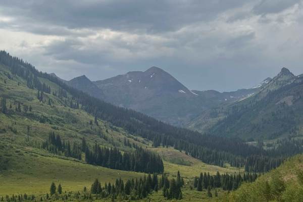
Slate River Road
Slate River Road is one of the prettiest drives Crested Butte has to offer. It's a well-maintained dirt road that leads to many activities such as camping, biking, hiking, kayaking, etc. It's passable by most any vehicle and has views that just keep on giving. It has many different camping areas alo...
Learn more about Slate River Road
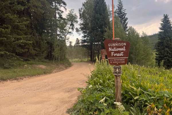
Washington Gulch Road
This road starts with very easy and mild terrain, offering a ton of camping options along the way up. The campsites are designated only, and first come, first serve.
The road gradually gets more difficult as you move up it, but stays relatively easy till you reach the private property boundary of E...
Learn more about Washington Gulch Road
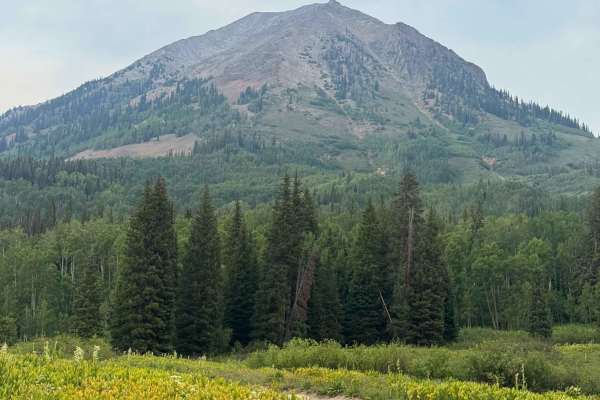
Slide Rock Road
Slide Rock Road is a quick offshoot of Washington Gulch Road that offers several campsites along it. This road does get rough and rutted, and it is recommended to have clearance for this road. Beginning at the outhouses and open views of the valley, you quickly come into the aspen grove. This drive ...
Learn more about Slide Rock Road
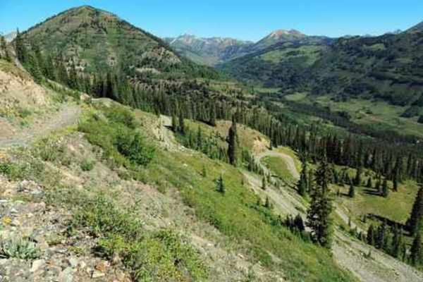
Gunsight Pass
This is a great Jeep trail close to Crested Butte. The actual name of the trail is Gunsight Pass, but since access to the pass is no longer allowed I renamed it. The first thing you see after leaving Paradise Divide Road is piles of coal left behind from the Smith Hill Mine which operated from 1884...
Learn more about Gunsight Pass

West Brush Creek
West Brush Creek is a 5-mile-long Forest Service Road located outside of Crested Butte, Colorado. This road offers access to hiking and biking trails, as well as camping areas in a gorgeous valley. This road takes you back towards Teocalli Mountain, up a valley, along and through rivers. It's a beau...
Learn more about West Brush Creek

Pearl Pass
Pearl Pass is a challenging, high-altitude route connecting Crested Butte and Aspen, ideal for experienced drivers seeking dramatic alpine views and technical rocky terrain. Spanning roughly 21.8 miles through the stunning Elk Mountains, this historic pass climbs from an elevation of 8,842 feet to a...
Learn more about Pearl Pass
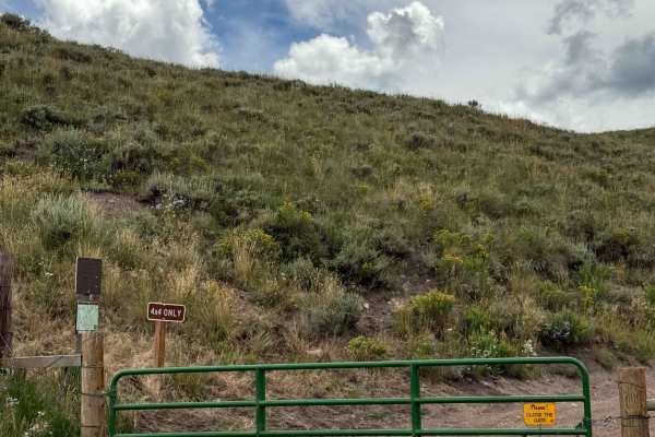
Ferris Creek
Ferris Creek is a short out-and-back dirt road offering a handful of designated campsites and gorgeous views of Whetstone Mountain. This trail does have two gates on it; be sure to close them after you pass through. This trail has open views and does offer some rock sections featuring small rocks th...
Learn more about Ferris Creek

Teocalli Mountain
The Teocalli Mountain trail is 1.6 miles long with 1,000 feet elevation gain, and will likely be ridden in conjunction with the Teocalli Ridge trail. It starts at the north end of West Brush Road, which is the only way to access this trail because Teocalli Ridge is designated directional downhill on...
Learn more about Teocalli Mountain
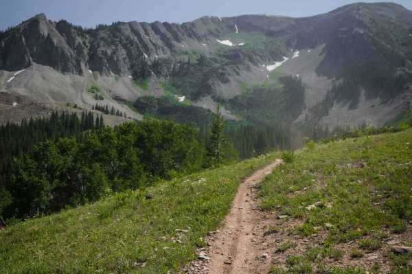
Carbon Trail
Carbon Trail is a 10-mile single-track near the town of Crested Butte, Colorado, that starts off of Kebler Pass with a big creek crossing through Coal Creek. It's not super deep but still requires some technique to get across smoothly. Most of the trail is a wide rocky surface through a beautiful fo...
Learn more about Carbon Trail

Teocalli Ridge
Teocalli Ridge is designated by the Forest Service as downhill only for motorized use (north to south). Thus it's all downhill, with tons of big and little drop-offs created from big roots that run across the trail. There's lots of erosion on this trail, creating ruts, troughs, and steep drop-offs. ...
Learn more about Teocalli Ridge
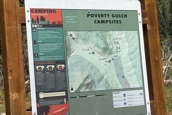
Poverty Gulch
Poverty Gulch is a fun, relatively easy trail that climbs close to treeline and offers some great scenery along the way. There is parking near the end of the trail where you can continue on foot and hike farther toward the top.
The trail is mostly straightforward, and I completed the entire route in...
Learn more about Poverty Gulch
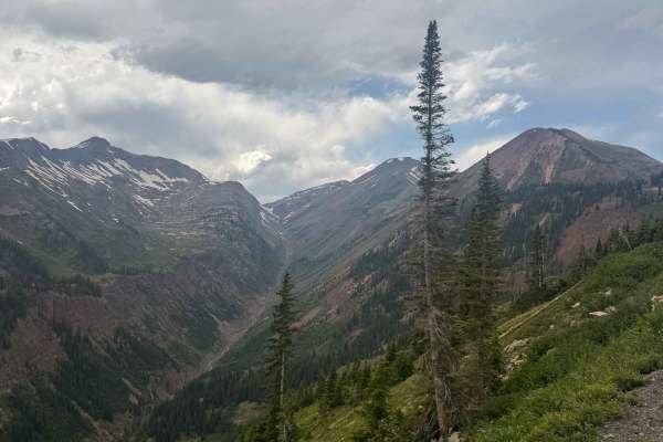
Paradise Divide
Paradise Divide is an iconic route in the Crested Butte area that is a dirt road connecting three of the main drainages of the area. This road offers incredible views of the surrounding mountains and takes you to some incredible campsites in Colorado. The terrain along this road varies quite a bit, ...
Learn more about Paradise Divide
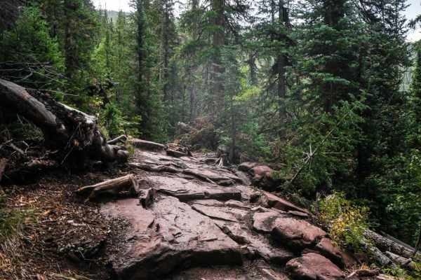
Block and Tackle
Block and Tackle is a fun intermediate single track in the Brush Creek riding area of Crested Butte, Colorado. The west half of the trail is slightly harder with more rocks. The east half is flowier through meadows and trees with sweeping curves and smoother dirt. The west half is made up of switchb...
Learn more about Block and Tackle

Farris Creek Bypass
This is a fun 3-mile single track that loses 1,700 feet from the south end of Double Top Trail, all the way to Farris Road. As you ride south to north, it starts at the top of a saddle at the intersection with Double Top on a smooth trail, then it drops down towards the town of Crested Butte and has...
Learn more about Farris Creek Bypass

Double Top Trail #405
Double Top Trail #405 captures the spirit of high-country single-track riding in Colorado. Spanning 13 miles, this trail features a low point of 10,719 feet and a high point of 11,954 feet, with a total elevation gain of 3,392 feet and a loss of 2,743 feet. Riders can access the trail from either th...
Learn more about Double Top Trail #405
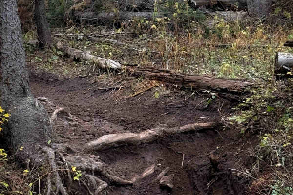
Waterfall Creek Trail - FS 555
The Waterfall Creek trail is a 3.2-mile-long intermediate route that is full of technical root obstacles. From the east entrance, the trail starts flowy, climbing up into scenic aspen groves on a narrow dirt single track. It is gorgeous in fall when the colors start to change. The trail starts to ha...
Learn more about Waterfall Creek Trail - FS 555
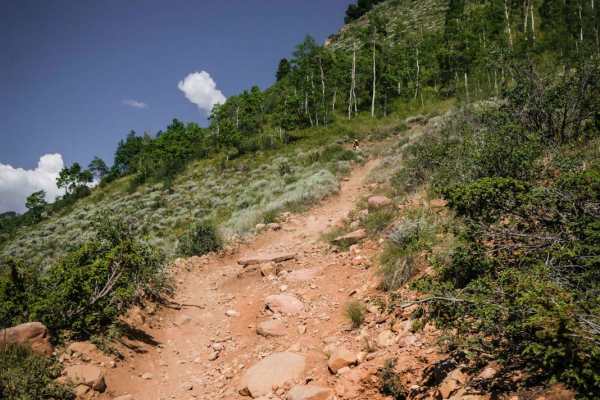
Walrod Gulch Trail
Walrod Gulch is a short, single-track trail that connects the Double Top Spur south to Walrod Road, and further south to Cement Creek Road via the very short Warm Springs Trail. Cement Creek Road is a good place to stage for many of the trails in this area because there is a staging area at the begi...
Learn more about Walrod Gulch Trail
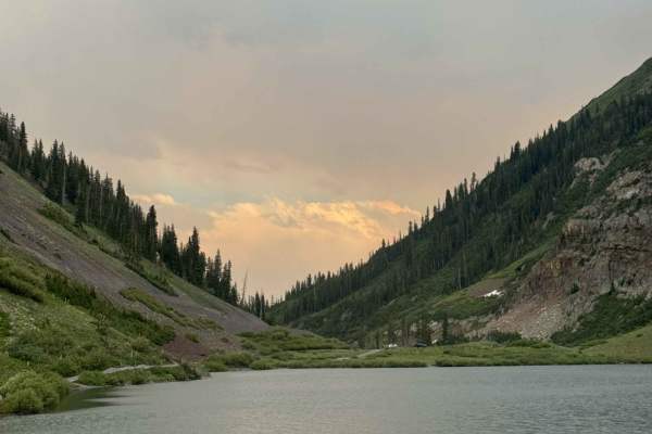
Emerald Lake Road
Emerald Lake Road is an offshoot of 317. This road dips down and takes you right to Emerald Lake, which is a beautiful and popular attraction in the area. The road has some ruts in it, but nothing too major, as it takes you to the main parking area for the lake. This parking area can fit many cars. ...
Learn more about Emerald Lake Road
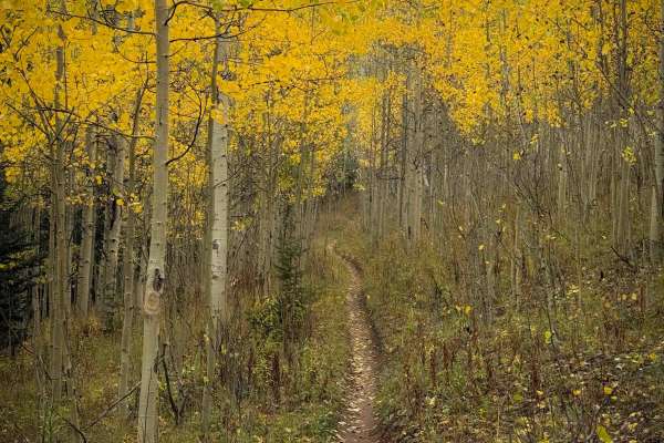
Doubletop Walrod Spur Trail 405.2A
The Doubletop Walrod Spur Trail is a 1.4-mile-long connector trail between Doubletop Trail No. 405, and the Doubletop Waterfall Spur Trail No. 405.3A. You can use it as a way to bail out of Doubletop, an advanced and rocky trail. From the west entrance, it descends down a semi-steep path for a mile,...
Learn more about Doubletop Walrod Spur Trail 405.2A
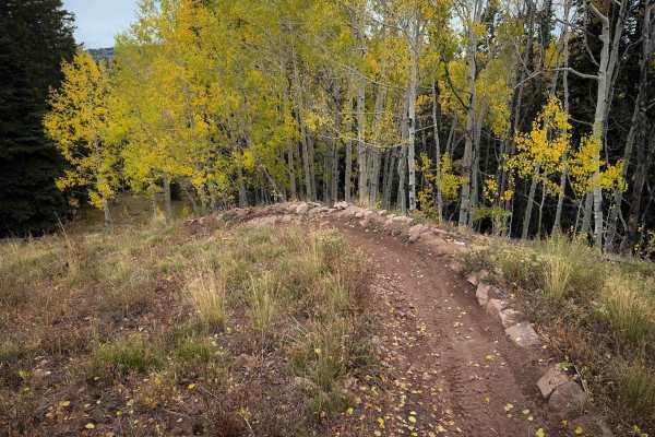
DoubleTop Waterfall Spur - FS 405.3A
The Doubletop Waterfall Spur Trail is a short and easy connector trail between Doubletop Trail and the Doubletop Walrod Spur Trail. It’s a mostly gradual descent from north to south, dropping about 500 feet in elevation over .9 miles. The trail is mostly just a smooth and flowy dirt single track, wi...
Learn more about DoubleTop Waterfall Spur - FS 405.3A
ATV trails near Mount Crested Butte, Colorado
Explore ATV-friendly trails near you. These trails are accessible for vehicles up to 50 inches wide, perfect for ATVs and smaller off-road machines.
Slate River Road
Slate River Road is one of the prettiest drives Crested Butte has to offer. It's a well-maintained dirt road that leads to many activities such as camping, biking, hiking, kayaking, etc. It's passable by most any vehicle and has views that just keep on giving. It has many different camping areas alo...
Learn more about Slate River Road
Washington Gulch Road
This road starts with very easy and mild terrain, offering a ton of camping options along the way up. The campsites are designated only, and first come, first serve.
The road gradually gets more difficult as you move up it, but stays relatively easy till you reach the private property boundary of E...
Learn more about Washington Gulch Road
Slide Rock Road
Slide Rock Road is a quick offshoot of Washington Gulch Road that offers several campsites along it. This road does get rough and rutted, and it is recommended to have clearance for this road. Beginning at the outhouses and open views of the valley, you quickly come into the aspen grove. This drive ...
Learn more about Slide Rock Road
Gunsight Pass
This is a great Jeep trail close to Crested Butte. The actual name of the trail is Gunsight Pass, but since access to the pass is no longer allowed I renamed it. The first thing you see after leaving Paradise Divide Road is piles of coal left behind from the Smith Hill Mine which operated from 1884...
Learn more about Gunsight Pass
UTV/side-by-side trails near Mount Crested Butte, Colorado
Find UTV and side-by-side trails near you. These trails accommodate vehicles up to 60 inches wide, ideal for UTVs, side-by-sides, and wider off-road rigs.
Slate River Road
Slate River Road is one of the prettiest drives Crested Butte has to offer. It's a well-maintained dirt road that leads to many activities such as camping, biking, hiking, kayaking, etc. It's passable by most any vehicle and has views that just keep on giving. It has many different camping areas alo...
Learn more about Slate River Road
Washington Gulch Road
This road starts with very easy and mild terrain, offering a ton of camping options along the way up. The campsites are designated only, and first come, first serve.
The road gradually gets more difficult as you move up it, but stays relatively easy till you reach the private property boundary of E...
Learn more about Washington Gulch Road
Slide Rock Road
Slide Rock Road is a quick offshoot of Washington Gulch Road that offers several campsites along it. This road does get rough and rutted, and it is recommended to have clearance for this road. Beginning at the outhouses and open views of the valley, you quickly come into the aspen grove. This drive ...
Learn more about Slide Rock Road
Gunsight Pass
This is a great Jeep trail close to Crested Butte. The actual name of the trail is Gunsight Pass, but since access to the pass is no longer allowed I renamed it. The first thing you see after leaving Paradise Divide Road is piles of coal left behind from the Smith Hill Mine which operated from 1884...
Learn more about Gunsight Pass
The onX Offroad Difference
onX Offroad combines trail photos, descriptions, difficulty ratings, width restrictions, seasonality, and more in a user-friendly interface. Available on all devices, with offline access and full compatibility with CarPlay and Android Auto. Discover what you're missing today!
Open Trail Map