Trail Overview
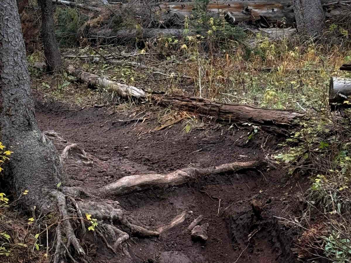
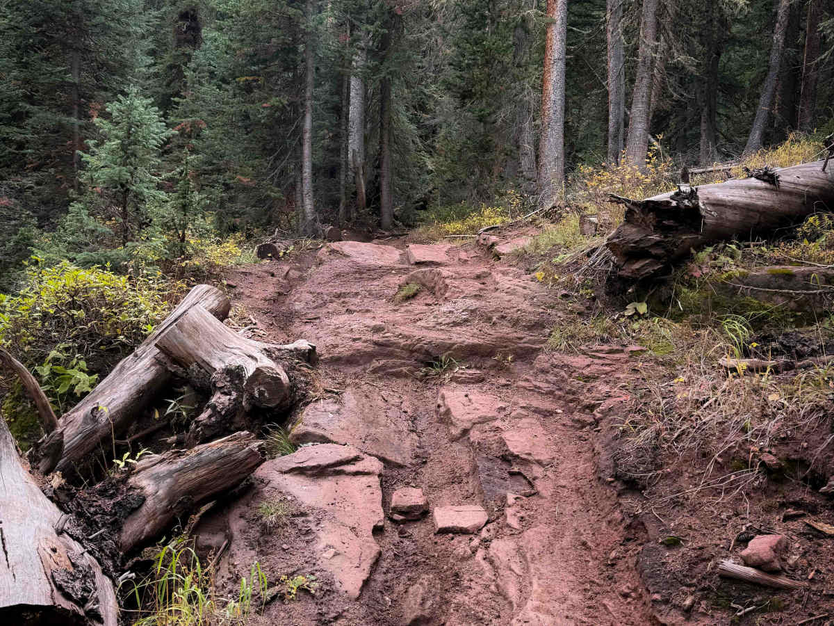
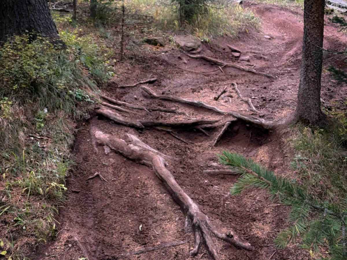
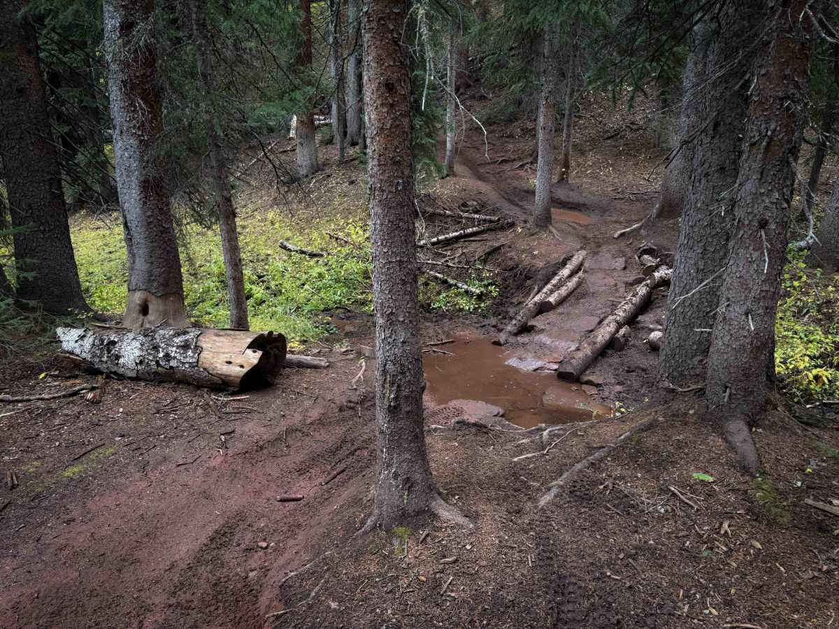
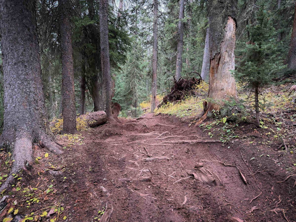
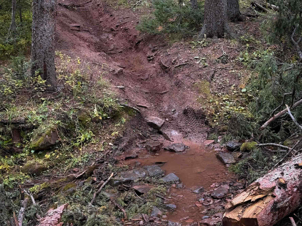
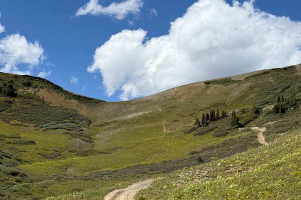
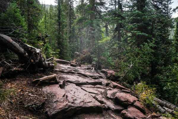
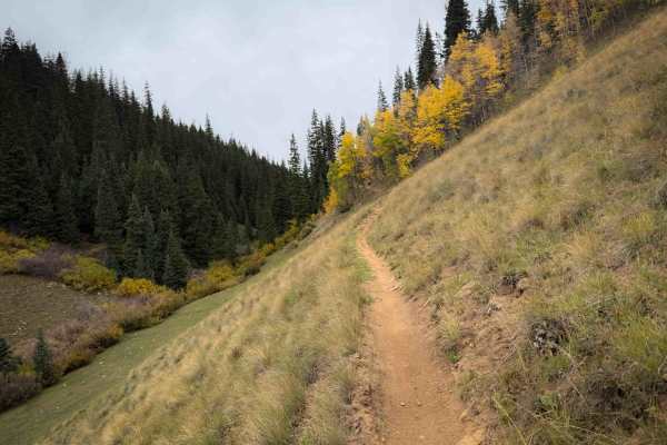
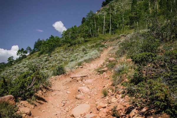
The Waterfall Creek trail is a 3.2-mile-long intermediate route that is full of technical root obstacles. From the east entrance, the trail starts flowy, climbing up into scenic aspen groves on a narrow dirt single track. It is gorgeous in fall when the colors start to change. The trail starts to have a bit more rock and ruts as it steeply climbs up, curving up the hillside. As it gains elevation, it enters the pine trees and becomes more rutted, with a few shallow stream crossings and constant root ledges. The roots are often blunt and dug out, with slick diagonal roots crisscrossing the trail and making it tricky to get up. It keeps weaving through the trees with tight maneuvers and steep climbs, but mellows out after a couple of miles. The last mile is more gradual and flowy again before it connects to DoubleTop Trail on a nice hilltop at a wide intersection that makes for a great place to take a break.
Difficulty
This is a moderate route due to frequent blunt and slick root obstacles – mostly in the middle of the route. The beginning and end sections of the trail are more flowy and smooth. It’s a semi-steep ascent from east to west, gaining over 1,500 feet in elevation over 3 miles.