
Dirt Bike Trails
Near Maverick Junction, South Dakota
Explore All Dirt Bike Trails Near Maverick Junction, South Dakota
Dirt Bike Trails Near Maverick Junction, South Dakota
Discover the best dirt bike trails near you. Browse trail maps, check difficulty ratings, and find your next adventure — whether you're looking for a quick ride or an all-day expedition.
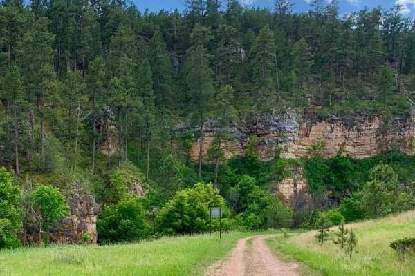
Song Dog Road
Starting from the south end of the trail on Argyle Rd, the trail begins in a lightly treed pine forest and follows a natural dirt and limestone path that is mostly packed and single-car width wide. The route includes several sections of semi-loose rocky hill climbs, with small rocks 3-4 inches in di...
Learn more about Song Dog Road
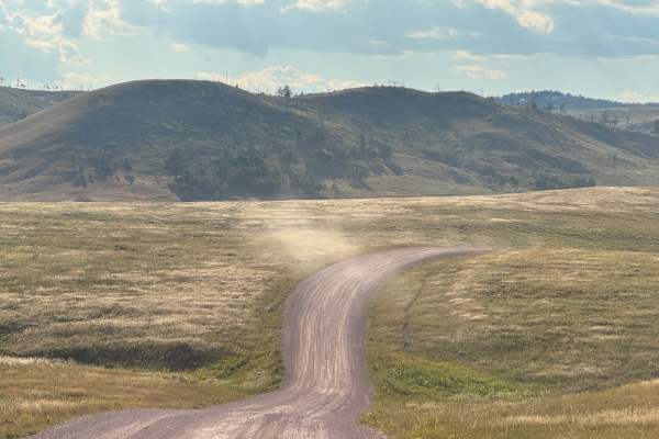
Oak Draw Road- CSP 3
Oak Draw Road, also known as Custer State Park Road 3, is a scenic two-lane gravel road that cuts across the wide open grasslands of the park's Wildlife Loop area. This lesser-traveled route offers an easy and enjoyable drive, with sweeping views of the prairie and abundant opportunities to spot wil...
Learn more about Oak Draw Road- CSP 3
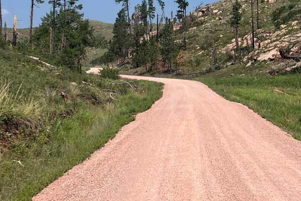
North Lame Johnny Road
North Lame Johnny Road, also known as Custer State Park Road 4, is a two-lane gravel road that travels through the French Creek area of Custer State Park. The route can be accessed from the north at Highway 87 or from the south where it intersects Oak Draw Road (CSP 3). Along the way, it passes Fren...
Learn more about North Lame Johnny Road
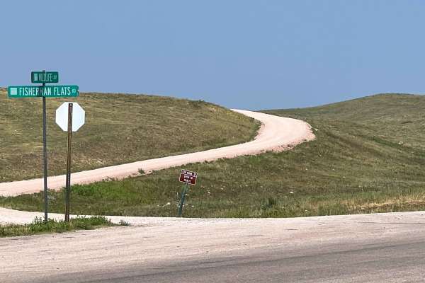
Fisherman Flats Road
Fisherman Flats Road, also known as Custer State Park Road 2, is an easy two-lane gravel road that provides a connection through the grasslands of Custer State Park's Wildlife Loop area. The route begins off CSP 1, directly across from the Wildlife Loop Visitor Center and just north of Oak Draw Road...
Learn more about Fisherman Flats Road
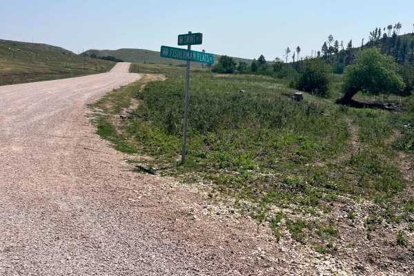
Swint Road
Swint Road, also known as Custer State Park Road 5, is a two-lane gravel road that connects Fisherman Flats Road (CSP 2) with North Lame Johnny Road (CSP 4). The route travels through rolling grasslands and scattered pine stands, offering an alternative to the busier sections of the Wildlife Loop. T...
Learn more about Swint Road
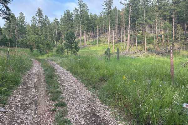
Hines Br1i / 336-11
Forestry Road 336-11, also known as Hines BR1i, is rocky with small to medium rock embedded in the soil. There are a few mud holes with very thick sticky mud after rains, but none are more than a few inches deep, so, should not present an issue. At the south end, connecting to County Road 382, also ...
Learn more about Hines Br1i / 336-11
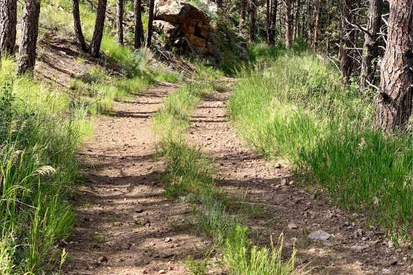
Bowman Road Loop
Bowman Road Loop is a 7.4-mile trail near Pringle, South Dakota, that flows in and out of the pine forest around Bowman Ridge. The trail is primarily composed of rock and sand, with loose sections that may pose challenges. Stock 4WD vehicles should have no issues, but motorcycles and 2WD vehicles sh...
Learn more about Bowman Road Loop
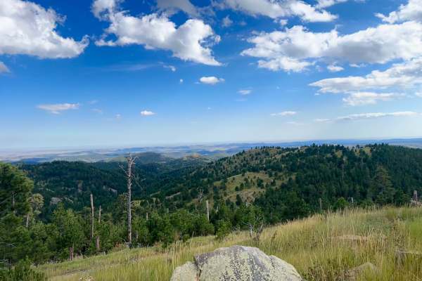
Cicero Peak Road
This is a fantastic trail leading up to the summit of Cicero Peak. The route is only 1.7 miles long but climbs 485 feet to a peak elevation of 6,165 feet. Despite its relatively short length, the climb offers rewarding views for nearly the entire ascent. Loose rocks are all over and must be navigate...
Learn more about Cicero Peak Road
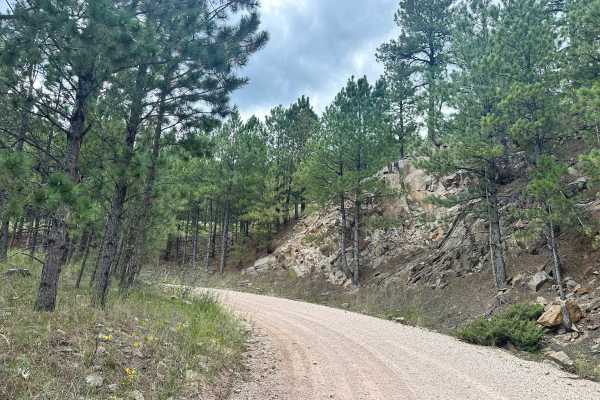
Herbert Draw Road
This scenic gravel route offers incredible views of the Black Hills and is easily traversed by most vehicles. Stretching between Lower French Creek Road on the northeast end and Flynn Creek Road on the southwest end, the trail winds through a variety of beautiful and changing terrain. From groves of...
Learn more about Herbert Draw Road
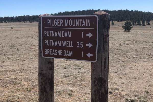
TR #319
Edgemont, South Dakota's Southern Black Hills span Custer County, South Dakota, and Fall River County, South Dakota. This trail has everything--long, flat, open pastures, wooded areas, and rocky inclines. There are deep ruts in many areas. The lower trailhead is just outside Edgemont on Route 16. Th...
Learn more about TR #319
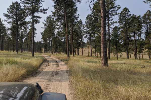
Custer Mountain Cutoff
Custer Mountain Cutoff is an easy, highly accessible 3-mile scenic route near Custer, South Dakota, perfect for beginners, standard SUVs, and anyone looking for a relaxed drive through the Black Hills. Winding through dense stands of ponderosa pines and vibrant quaking aspens, this peaceful trail sk...
Learn more about Custer Mountain Cutoff
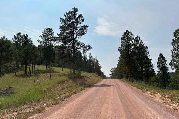
Ghost Canyon Road
It is an easy gravel road with good views, making for a beautiful shortcut to nearby trailheads. Many other activities off of this route include camping sites in the Black Hills National Forest along with horseback riding, hiking, and off-road trails to experience along the way. This trail runs from...
Learn more about Ghost Canyon Road
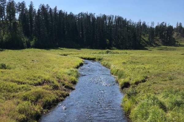
Bear Mountain Lookout to Pactola Reservoir
From Bear Mountain Lookout to Pactola Reservoir, this gravel road will show you the best the Black Hills National Forest offers. Take your time along the expansive alpine meadows & while driving along Lightening Creek, as you'll have many chances to spot deer and other wildlife along this route.
Learn more about Bear Mountain Lookout to Pactola Reservoir
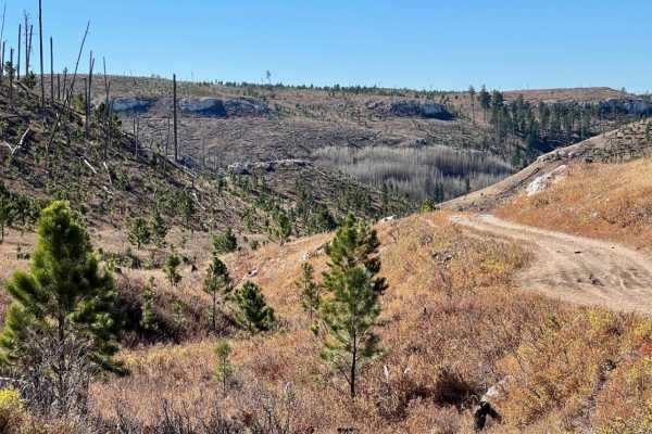
Windmill Draw to Hell Canyon to Alkali Ridge
Travel from Windmill Draw - (FSR 681) to Hell Canyon - (FSR 284.2L) to Alkali Ridge (FSR 284.2C). This 7.7-mile route, from Custer Limestone Road in the north to US Highway 16 in the south, covers a wide variety of terrain and is one of the highlights of what the Black Hills offers to offroad enthus...
Learn more about Windmill Draw to Hell Canyon to Alkali Ridge
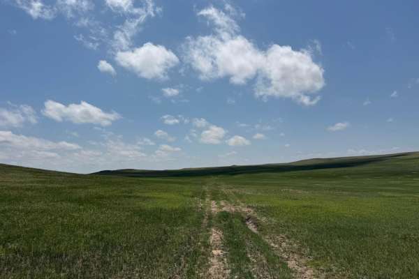
Conklin - FR 924
Conklin (Forest Road 924) is an out-and-back trail that runs north-south, meandering over rolling hills in the Oglala National Grassland. The trailhead is located a mile south of the South Dakota-Nebraska border on Hat Creek Road. The entire trail is two-track, on a grass-covered sandy surface that ...
Learn more about Conklin - FR 924
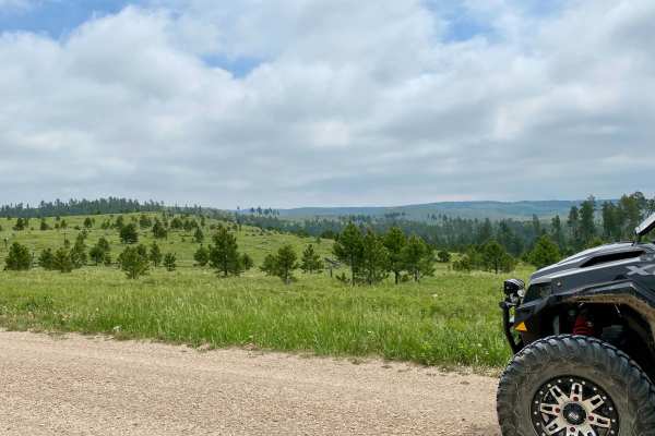
Mud Springs Road
Mud Springs Road is a scenic route that runs North/South from Custer Limestone road to US Highway 16 just West of Jewel Cave National Monument. This does take you through cattle grazing areas so expect to see some cattle on or just off the road in the spring/summer. On the South portion of the road ...
Learn more about Mud Springs Road
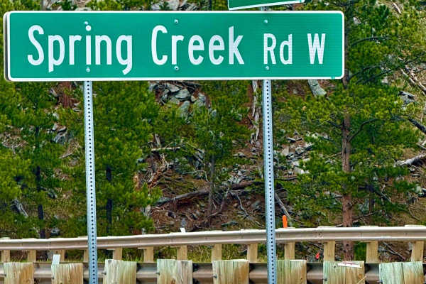
Spring Creek Road - FS 305
Spring Creek Road (FS 305) is a scenic gravel forest route with smooth driving and light elevation changes, suitable for most vehicles. The road winds through dense pine forest and unique granite formations, offering a few peaceful, dispersed campsites along the way. Geology lovers will enjoy the st...
Learn more about Spring Creek Road - FS 305
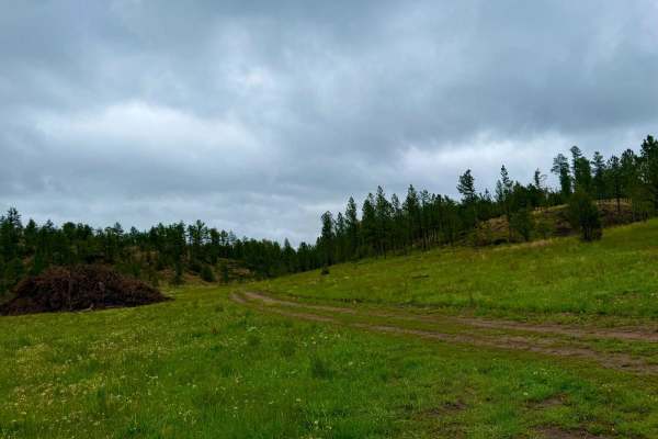
Tepee Branch Road - FS 271.1A
Tepee Branch Road (FS 271.1A) is a moderate 5.2-mile trail nestled within the Black Hills National Forest. This gravel route meanders through dense pine forests and open meadows, offering a tranquil escape for those seeking solitude. The trail features an elevation gain of approximately 413 feet and...
Learn more about Tepee Branch Road - FS 271.1A
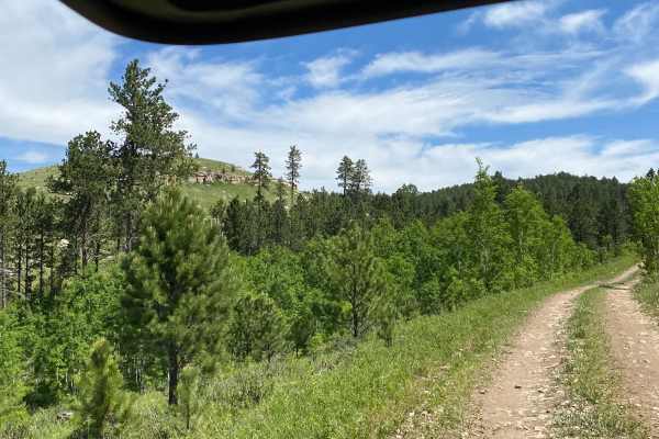
Alkali Spring
Alkali Spring, also known as Forest Road 472, is an easy and scenic 3.8-mile trail ideal for beginners, family outings, and any vehicle capable of navigating a single-lane gravel road through the Black Hills National Forest. This beginner-friendly route connects Ditch Creek Road to Custer Limestone ...
Learn more about Alkali Spring
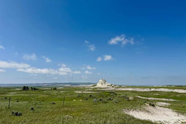
Sugarloaf Road
Sugarloaf Road is a scenic route that runs east-west about 9 miles south of the Nebraska-South Dakota border, connecting Toadstool Road in Sioux County, Nebraska, with Nebraska Highway 71 in Dawes County, Nebraska. The road weaves its way through buttes and rolling hills blanketed with mixed-grass p...
Learn more about Sugarloaf Road
ATV trails near Maverick Junction, South Dakota
Explore ATV-friendly trails near you. These trails are accessible for vehicles up to 50 inches wide, perfect for ATVs and smaller off-road machines.
Song Dog Road
Starting from the south end of the trail on Argyle Rd, the trail begins in a lightly treed pine forest and follows a natural dirt and limestone path that is mostly packed and single-car width wide. The route includes several sections of semi-loose rocky hill climbs, with small rocks 3-4 inches in di...
Learn more about Song Dog Road
Oak Draw Road- CSP 3
Oak Draw Road, also known as Custer State Park Road 3, is a scenic two-lane gravel road that cuts across the wide open grasslands of the park's Wildlife Loop area. This lesser-traveled route offers an easy and enjoyable drive, with sweeping views of the prairie and abundant opportunities to spot wil...
Learn more about Oak Draw Road- CSP 3
North Lame Johnny Road
North Lame Johnny Road, also known as Custer State Park Road 4, is a two-lane gravel road that travels through the French Creek area of Custer State Park. The route can be accessed from the north at Highway 87 or from the south where it intersects Oak Draw Road (CSP 3). Along the way, it passes Fren...
Learn more about North Lame Johnny Road
Fisherman Flats Road
Fisherman Flats Road, also known as Custer State Park Road 2, is an easy two-lane gravel road that provides a connection through the grasslands of Custer State Park's Wildlife Loop area. The route begins off CSP 1, directly across from the Wildlife Loop Visitor Center and just north of Oak Draw Road...
Learn more about Fisherman Flats Road
UTV/side-by-side trails near Maverick Junction, South Dakota
Find UTV and side-by-side trails near you. These trails accommodate vehicles up to 60 inches wide, ideal for UTVs, side-by-sides, and wider off-road rigs.
Song Dog Road
Starting from the south end of the trail on Argyle Rd, the trail begins in a lightly treed pine forest and follows a natural dirt and limestone path that is mostly packed and single-car width wide. The route includes several sections of semi-loose rocky hill climbs, with small rocks 3-4 inches in di...
Learn more about Song Dog Road
Oak Draw Road- CSP 3
Oak Draw Road, also known as Custer State Park Road 3, is a scenic two-lane gravel road that cuts across the wide open grasslands of the park's Wildlife Loop area. This lesser-traveled route offers an easy and enjoyable drive, with sweeping views of the prairie and abundant opportunities to spot wil...
Learn more about Oak Draw Road- CSP 3
North Lame Johnny Road
North Lame Johnny Road, also known as Custer State Park Road 4, is a two-lane gravel road that travels through the French Creek area of Custer State Park. The route can be accessed from the north at Highway 87 or from the south where it intersects Oak Draw Road (CSP 3). Along the way, it passes Fren...
Learn more about North Lame Johnny Road
Fisherman Flats Road
Fisherman Flats Road, also known as Custer State Park Road 2, is an easy two-lane gravel road that provides a connection through the grasslands of Custer State Park's Wildlife Loop area. The route begins off CSP 1, directly across from the Wildlife Loop Visitor Center and just north of Oak Draw Road...
Learn more about Fisherman Flats Road
The onX Offroad Difference
onX Offroad combines trail photos, descriptions, difficulty ratings, width restrictions, seasonality, and more in a user-friendly interface. Available on all devices, with offline access and full compatibility with CarPlay and Android Auto. Discover what you're missing today!
Open Trail Map