
Dirt Bike Trails
Near Maricopa, California
Explore All Dirt Bike Trails Near Maricopa, California
Dirt Bike Trails Near Maricopa, California
Discover the best dirt bike trails near you. Browse trail maps, check difficulty ratings, and find your next adventure — whether you're looking for a quick ride or an all-day expedition.
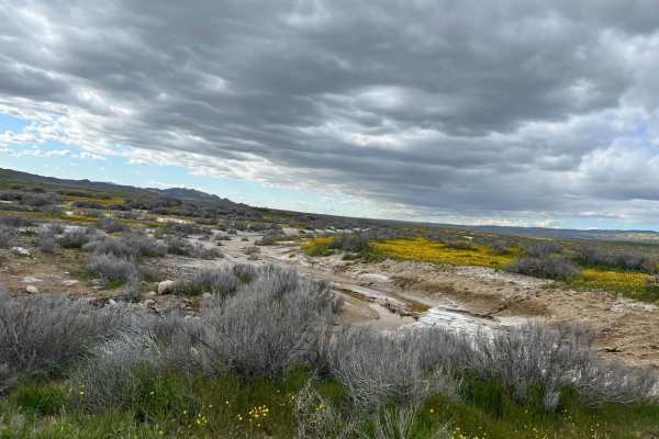
Elkhorn Road
The majority of the road is smooth and graded. However, there are sections that can have sticky mud, washed out from seasonal creeks that have a potential for high clearance. Carrizo Plain can get very hot in the summer and very cold in the winter. The best time to go in the spring to check out the ...
Learn more about Elkhorn Road
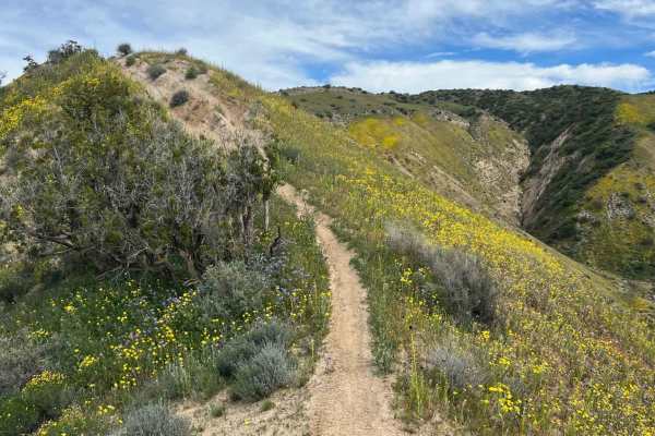
Trail 18 Singletrack
Ridgeline singletrack with amazing views of the Cuyama valley and Ballinger Canyon OHV. This trail has fast flowing sections, loose decents, and an entry (or exit) that is the largest challenge on this trail. The last 100 yards (or first) or so are a very narrow steep high consequence bit of single...
Learn more about Trail 18 Singletrack
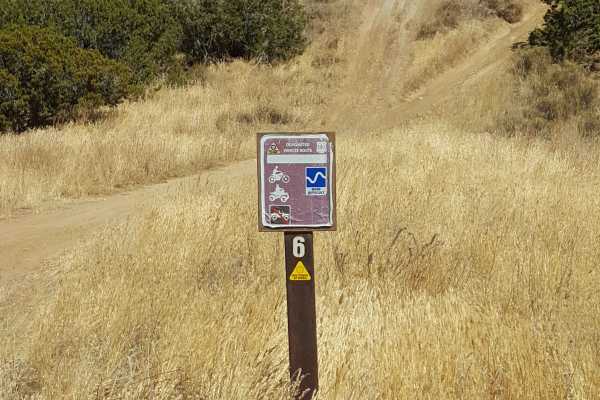
Trail 6
This is a fast and flowy 50" trail through open fields on the northern edge of the Ballinger riding area. It starts near the Day Use parking area and adjacent campground and will provide a good warm-up ride before heading out to more difficult trails. There are several short, steep, and rutted hill ...
Learn more about Trail 6
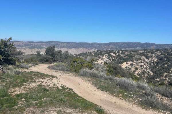
Trail 29
Fast-flowing double track, single track, with ridgeline views, canyon berms, and a great intermediate trail to explore what Ballinger Canyon OHV has to offer. This route starts with a single track out of the staging area, down to double track sand washes, and ends with fast-flowing ridgeline moto-on...
Learn more about Trail 29
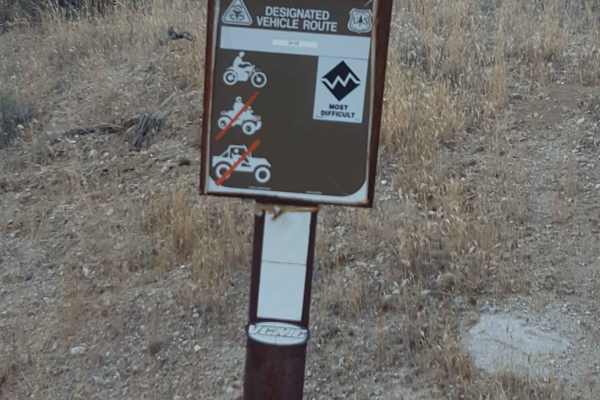
Trail 22
This is a point-to-point singletrack trail for dirt bikes only that runs through a narrow wash canyon and connects Trail 17 with Trail 23. It has a "Most Difficult" rating from the Forest Service. From the west end, the trail begins in a sandy wash with frequent large whoops, erosion ruts, and scatt...
Learn more about Trail 22
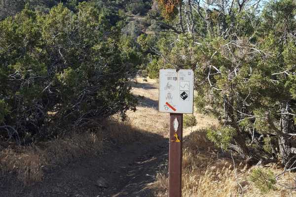
Trail 19
This is a relatively short, singletrack trail for dirt bikes and small ATVs only that connects Trail 24 to the upper section of Trail 17. If starting at the bottom from Trail 24, there is an initial steep and long hill with deep ruts and rocks to overcome. The trail then winds through some tight veg...
Learn more about Trail 19
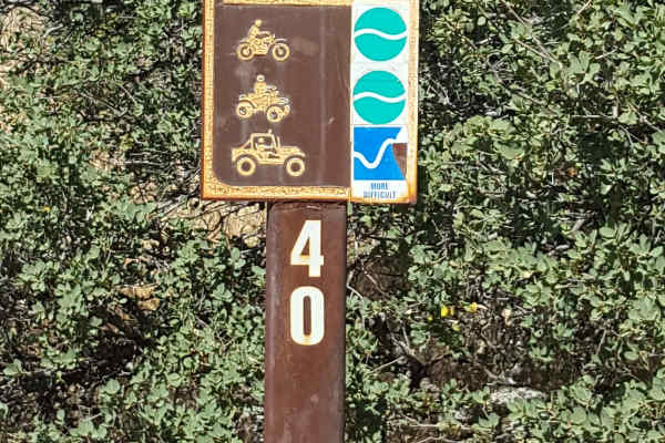
Trail 40
This is a point-to-point trail running from the southwest corner to the center of the Ballinger OHV area. The track is generally a little wider than a single vehicle, with frequent places to pull aside to let other vehicles pass. The trail surface is predominantly packed dirt with small embedded roc...
Learn more about Trail 40
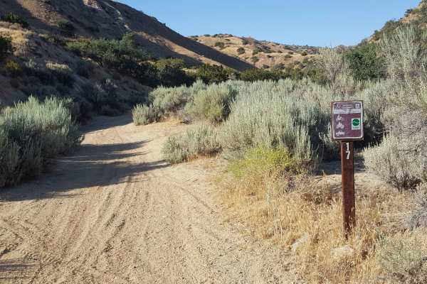
Trail 17
This is a loop trail that climbs to the top of a ridge and then circles back. The start of the trail begins in a sandy wash and then quickly climbs up an adjacent rutted hillside using a series of narrow switchbacks. At the top, the trail flattens out and has occasional whoops, loose rocks, and rut...
Learn more about Trail 17
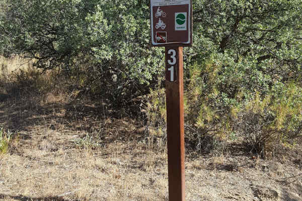
Trail 31
This is a short, fun singletrack trail for dirt bikes and ATVs only that connects Trail 24 with Trail 40. From Trail 24, it runs up a hillside through a tree section over a couple short climbs. It then transitions to a shelf trail along an open hillside area before finishing with a fast and flowy st...
Learn more about Trail 31
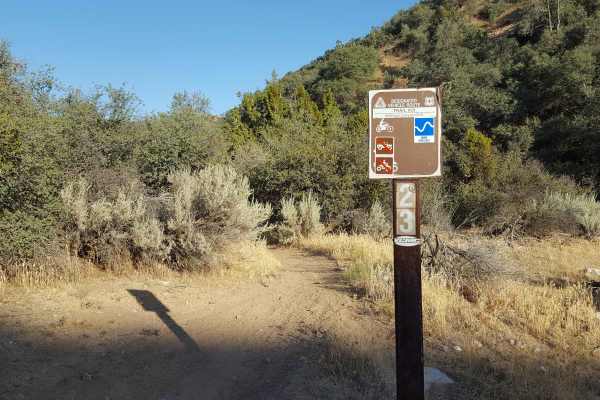
Trail 23
This is a point-to-point singletrack trail for dirt bikes only that can be combined with Trail 22 to complete a challenging and scenic loop route. It is rated Moderately Difficult by the Forest Service. The trail surface is a mix of loose and packed dirt with embedded rocks and exposed tree roots in...
Learn more about Trail 23
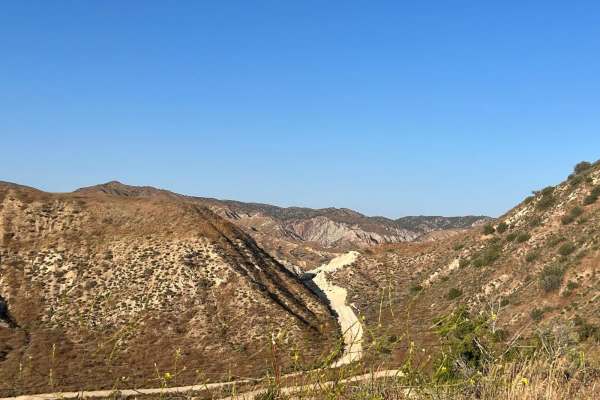
24W09.24
This is apart of Ballinger OHV. Considered desert highlands that has junipers, pinyon pines and scrub brush. Trail 24 (24W09.24) is the main trail that ranges between sandy and hard pack and potentially muddy sections. About two thirds of the trail it is mainly whoops following about a gradual incl...
Learn more about 24W09.24
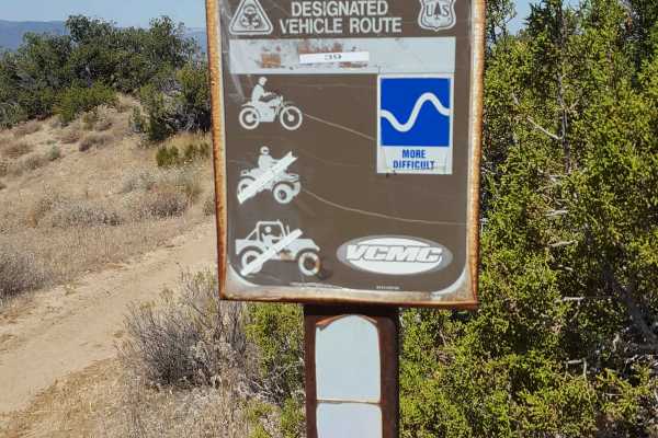
Trail 39
This is a short, singletrack trail for dirt bikes only that connects Trail 29 with Trail 37. From Trail 37 on the west end, this trail will immediately climb up a steep, rutted hill. It then continues to steadily climb as it transits over some rocky stretches and sections with whoops. Great views of...
Learn more about Trail 39
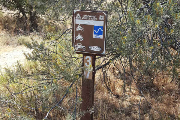
Trail 37
This is a short, point-to-point singletrack trail for dirt bikes only that connects Trail 40 with Trails 24 and 39. It is fairly flat and runs through a wash canyon over shallow sand and dirt with both small loose and embedded rocks. There are also occasional stretches of closely spaced but small wh...
Learn more about Trail 37
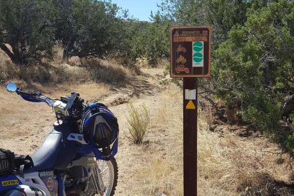
Trail 43
This is a relatively short, flat, singletrack trail restricted to dirt bike and ATV use. It runs alongside Trail 40 and connects this trail with Trail 41. There are a few rock obstacles midway as well as some stretches of shallow sand and small whoops. There are also a couple of areas where the surr...
Learn more about Trail 43
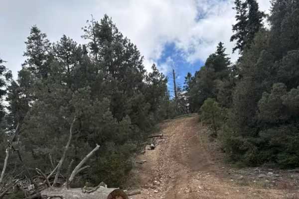
FS 22W12
A nice forested Jeep-style trail between Marian Campground overlook and FS 9N34. It winds through a ridge with one or two short climbs of 15-17 degrees and through a couple of tighter paths cut through felled trees. It may be a little tight for a full-size truck, but a mid-size truck had no issues. ...
Learn more about FS 22W12
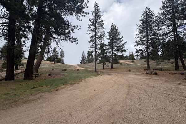
Camp Marion - FS 9N34
This is a great little area with two campsites off of it. The first one has bathrooms and fire pits/picnic tables and is very quiet, shady, and relaxed; the second, larger one at the top is much bigger, no toilets, but the view at the edge of it of Bakersfield is unmatched in the area. Super cool vi...
Learn more about Camp Marion - FS 9N34
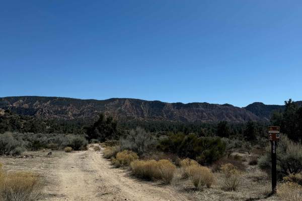
Quatal Canyon
Quatal Canyon Road is a moderate offroad route in California’s Los Padres National Forest that offers remote backcountry access and rugged, scenic terrain for high-clearance 4WDs, dual-sport motorcycles, and side-by-sides. It is a fun, mostly straight trail cutting between California Route 33 and Mi...
Learn more about Quatal Canyon
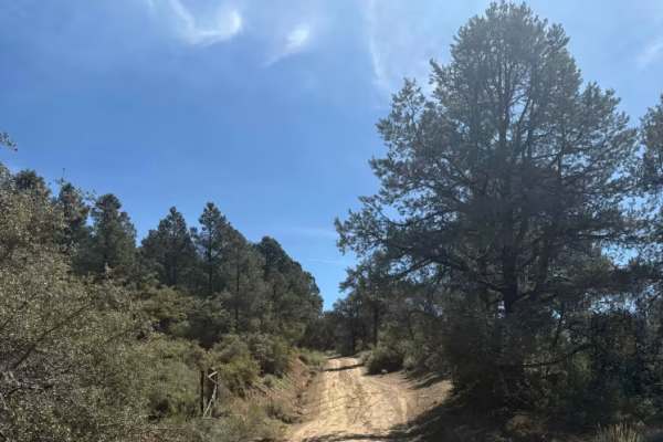
San Emigdio - FS 9N34
This is an easily navigable dirt road up the mountain that has a few small washouts, but nothing to stop the average explorer. There are a couple of small, undeveloped campsites along the way, and at the top, there are amazing views of Bakersfield as well as Pine Mountain Club. The big landing at th...
Learn more about San Emigdio - FS 9N34
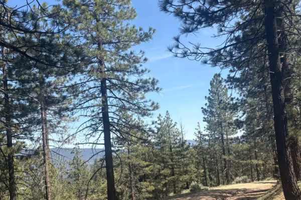
Seymour Creek - FS 8N05
Probably the best views from any trail in the area, this road winds down the side of the mountain to a scrub bush flat with a few fire pits along the way. On the trip, you will cross a small creek that I think may be the only year-round running water in the area, but it is never more than a trickle....
Learn more about Seymour Creek - FS 8N05
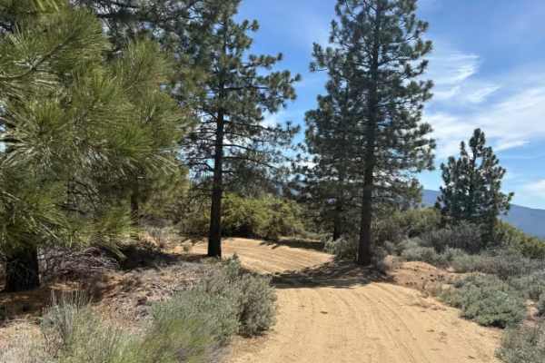
Tecuya Ace - FS 9N22
This is a wide dirt road that grants access to a few more trails of varying difficulty. There are also numerous dirt bike trails back in this area, as well as a dirt parking lot at the entrance. Gated access is season-dependent. There is a deeper washout across the road before the gate, which will r...
Learn more about Tecuya Ace - FS 9N22
ATV trails near Maricopa, California
Explore ATV-friendly trails near you. These trails are accessible for vehicles up to 50 inches wide, perfect for ATVs and smaller off-road machines.
Trail 6
This is a fast and flowy 50" trail through open fields on the northern edge of the Ballinger riding area. It starts near the Day Use parking area and adjacent campground and will provide a good warm-up ride before heading out to more difficult trails. There are several short, steep, and rutted hill ...
Learn more about Trail 6
Trail 19
This is a relatively short, singletrack trail for dirt bikes and small ATVs only that connects Trail 24 to the upper section of Trail 17. If starting at the bottom from Trail 24, there is an initial steep and long hill with deep ruts and rocks to overcome. The trail then winds through some tight veg...
Learn more about Trail 19
Trail 40
This is a point-to-point trail running from the southwest corner to the center of the Ballinger OHV area. The track is generally a little wider than a single vehicle, with frequent places to pull aside to let other vehicles pass. The trail surface is predominantly packed dirt with small embedded roc...
Learn more about Trail 40
Trail 17
This is a loop trail that climbs to the top of a ridge and then circles back. The start of the trail begins in a sandy wash and then quickly climbs up an adjacent rutted hillside using a series of narrow switchbacks. At the top, the trail flattens out and has occasional whoops, loose rocks, and rut...
Learn more about Trail 17
UTV/side-by-side trails near Maricopa, California
Find UTV and side-by-side trails near you. These trails accommodate vehicles up to 60 inches wide, ideal for UTVs, side-by-sides, and wider off-road rigs.
Trail 40
This is a point-to-point trail running from the southwest corner to the center of the Ballinger OHV area. The track is generally a little wider than a single vehicle, with frequent places to pull aside to let other vehicles pass. The trail surface is predominantly packed dirt with small embedded roc...
Learn more about Trail 40
Trail 17
This is a loop trail that climbs to the top of a ridge and then circles back. The start of the trail begins in a sandy wash and then quickly climbs up an adjacent rutted hillside using a series of narrow switchbacks. At the top, the trail flattens out and has occasional whoops, loose rocks, and rut...
Learn more about Trail 17
24W09.24
This is apart of Ballinger OHV. Considered desert highlands that has junipers, pinyon pines and scrub brush. Trail 24 (24W09.24) is the main trail that ranges between sandy and hard pack and potentially muddy sections. About two thirds of the trail it is mainly whoops following about a gradual incl...
Learn more about 24W09.24
FS 22W12
A nice forested Jeep-style trail between Marian Campground overlook and FS 9N34. It winds through a ridge with one or two short climbs of 15-17 degrees and through a couple of tighter paths cut through felled trees. It may be a little tight for a full-size truck, but a mid-size truck had no issues. ...
Learn more about FS 22W12
The onX Offroad Difference
onX Offroad combines trail photos, descriptions, difficulty ratings, width restrictions, seasonality, and more in a user-friendly interface. Available on all devices, with offline access and full compatibility with CarPlay and Android Auto. Discover what you're missing today!
Open Trail Map