Trail Overview
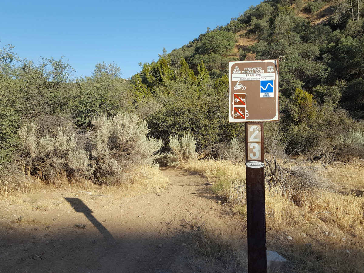
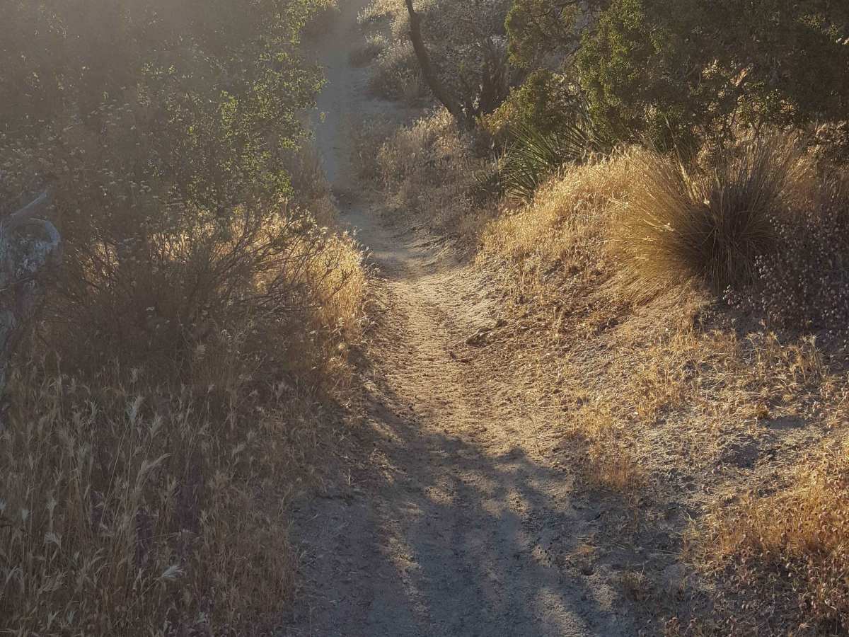
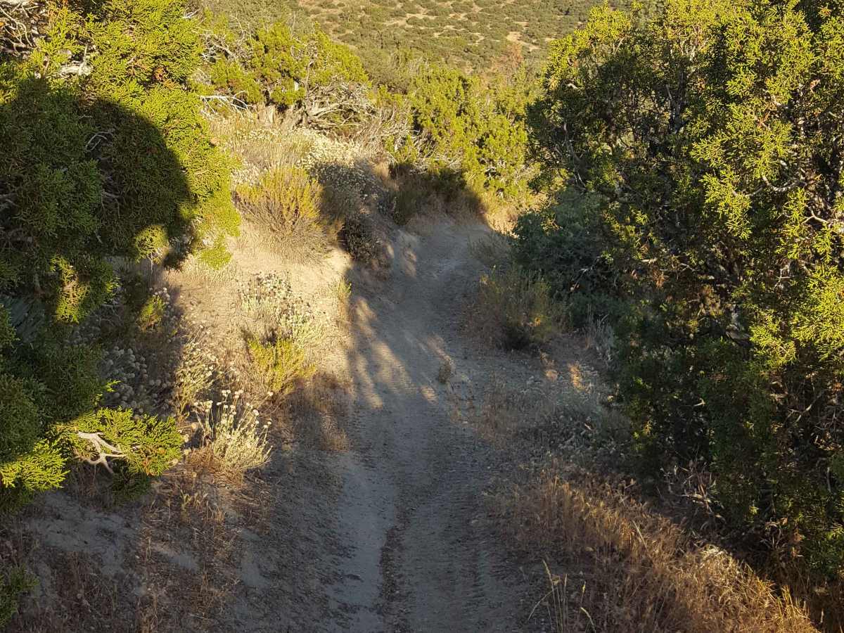
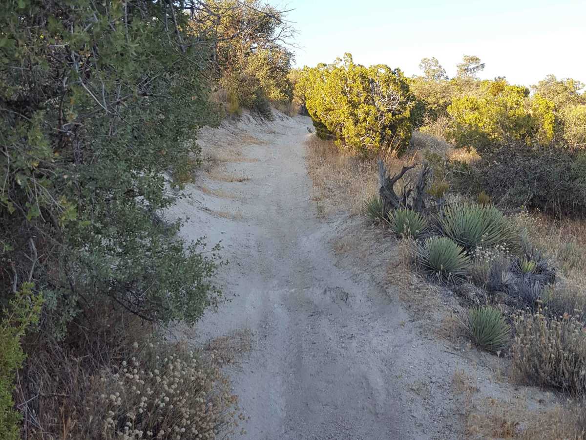
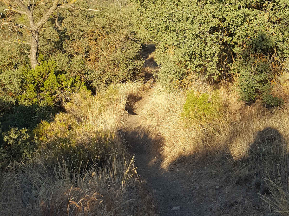
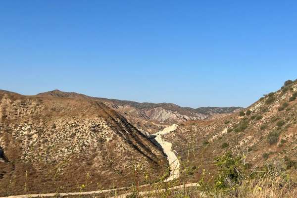
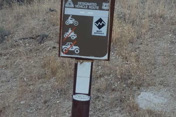
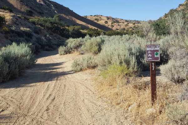
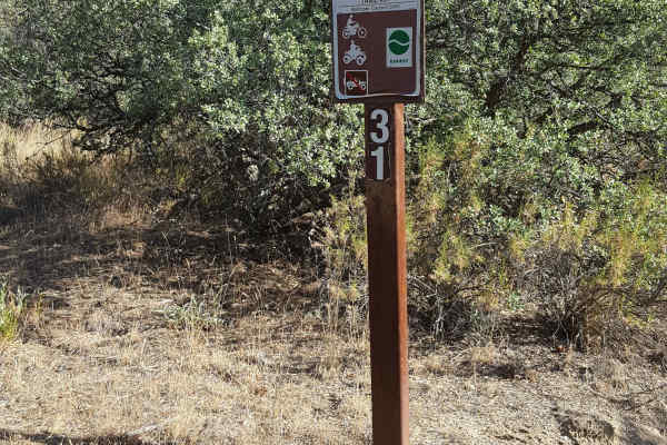
This is a point-to-point singletrack trail for dirt bikes only that can be combined with Trail 22 to complete a challenging and scenic loop route. It is rated Moderately Difficult by the Forest Service. The trail surface is a mix of loose and packed dirt with embedded rocks and exposed tree roots in sections. From the west end, it will start from Trail 22 and climb about 600 feet using switchbacks and then transition to a ridgeline section, providing great views of the Ballinger Canyon area below. There is tight vegetation/trees in some stretches and a few short, steep climbs over rutted/rocky terrain. The trail will then start dropping down from the ridge on the east side along a shelf path with a few steep grades to where it meets up again with Trail 22. A green/red sticker is required for OHV as well as a Day Use fee payable at the Ballinger Day Use staging area. Weak to no cellular service in the area. Tread Lightly and Pack-It-Out.
Difficulty
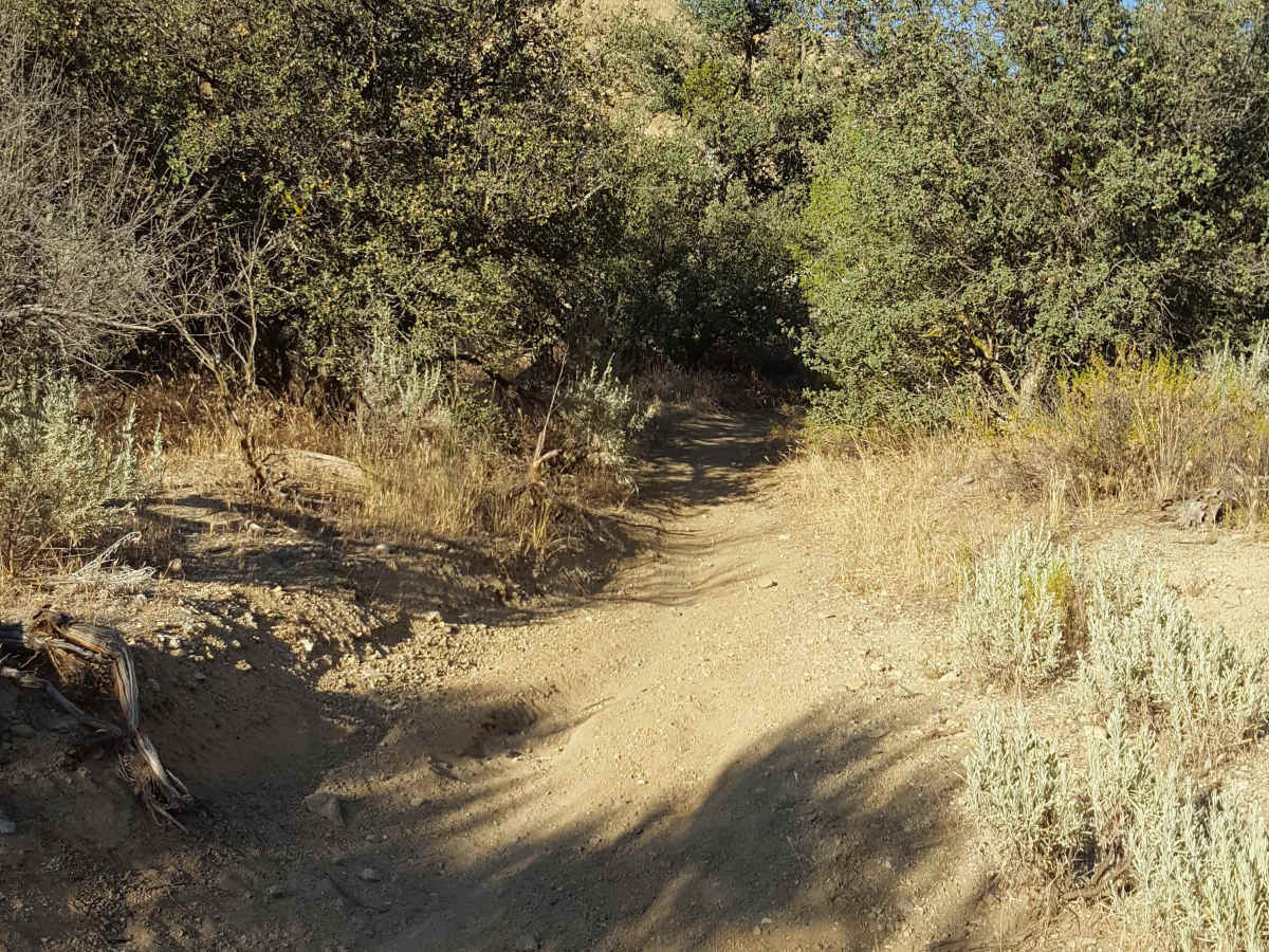
Trail surface is primarily dirt with embedded rocks, shallow ruts, and occasional exposed tree roots. There are several short, steep, rutted grades on both ends, along with multiple switchbacks as the trail climbs to and descends from an elevated ridgeline. While the trail is singletrack, there are frequent places to pull to the side to allow others to pass. There are no bypasses or alternate route options once you begin the trail from either end.

 Offroad